
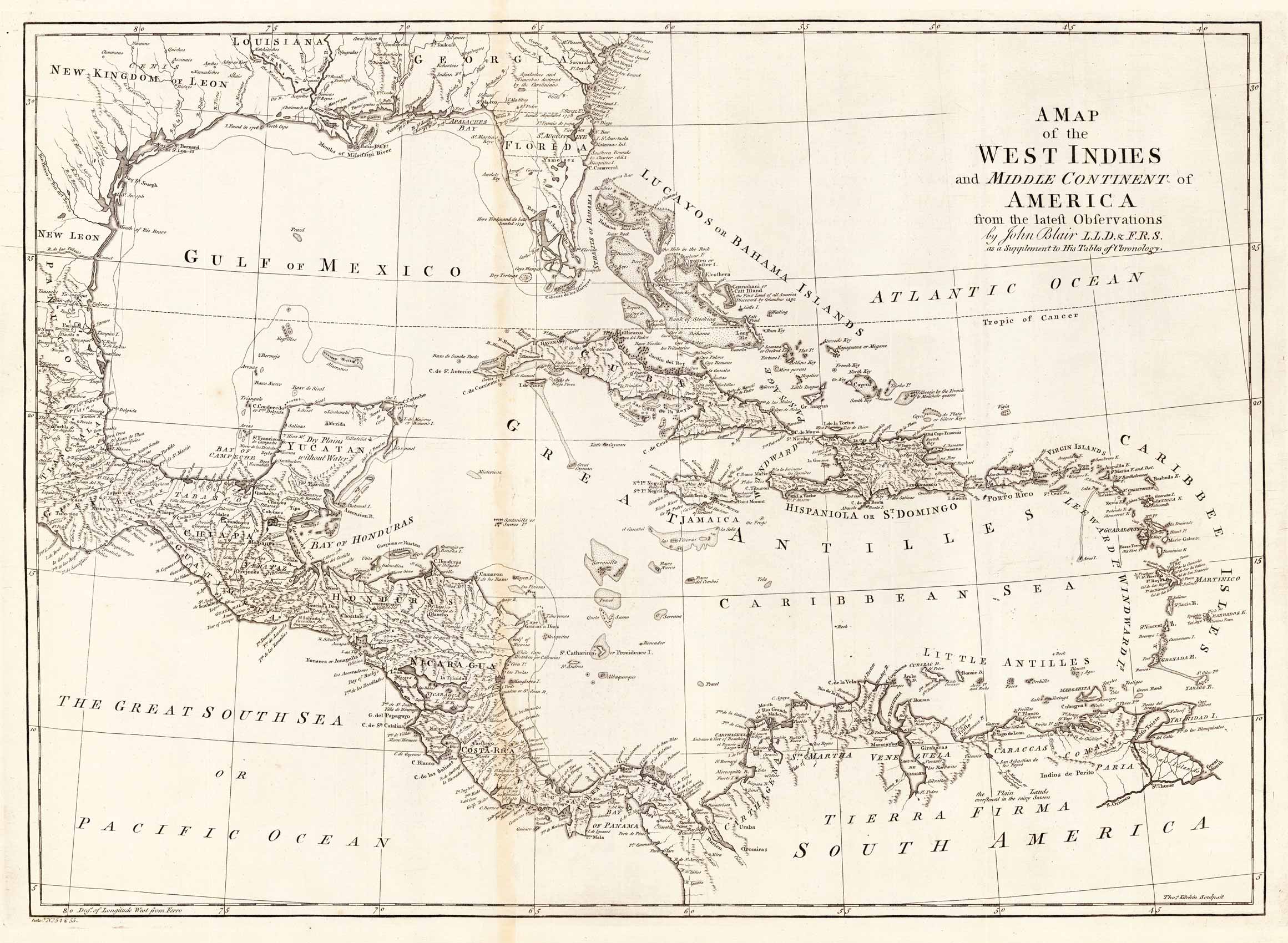
A map of the West Indies and Middle Continent of America from the latest Observations by John Blair L.L.D. & F.R.S. as a Supplement to His Tables of Chronology.
Product information: A map of the West Indies and Middle Continent of America from the latest Observations by John Blair L.L.D. & F.R.S. as a Supplement to His Tables of Chronology.
Copper engraving, uncolored, engraved by Thomas Kitchin. The map shows the West Indies, Florida, the Southern United States, the Golf of Mexico and Central America.
Properties
| Category: | West Indies |
|---|---|
| Issue date: | 1779. |
| Published place: | London |
| Publisher: | J. Blair |
| Technique: | Copper engraving / Uncolored |
| Type: | Antique Map, map |