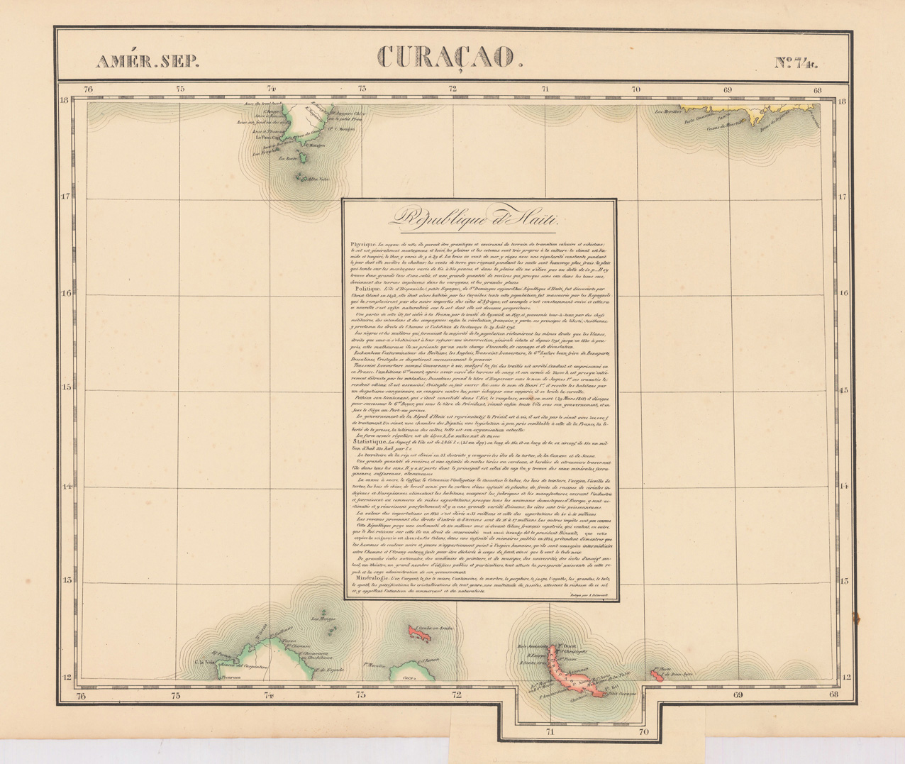
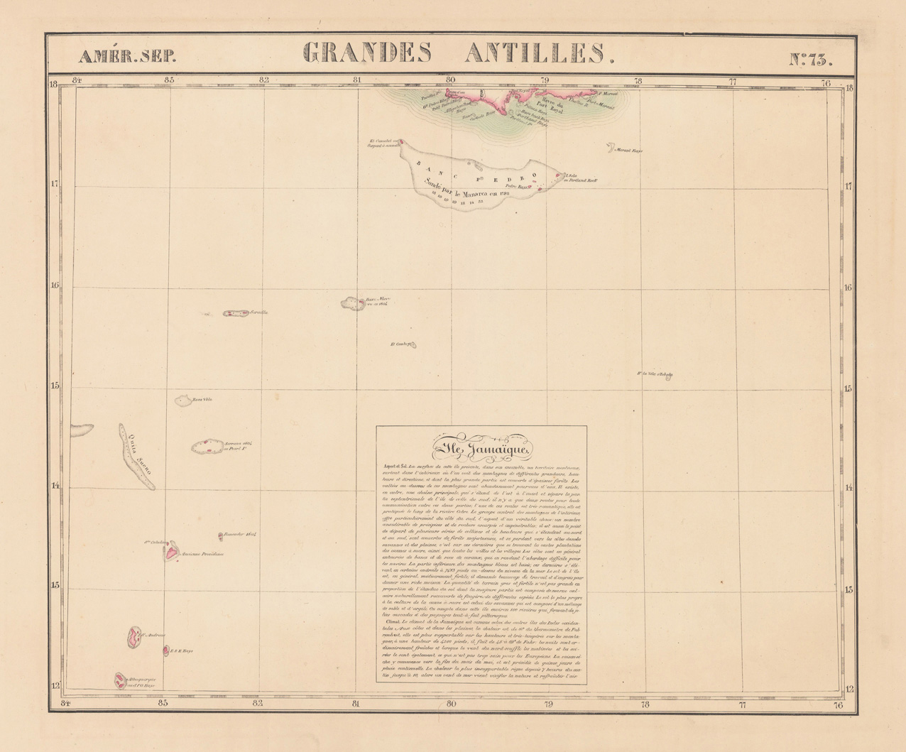
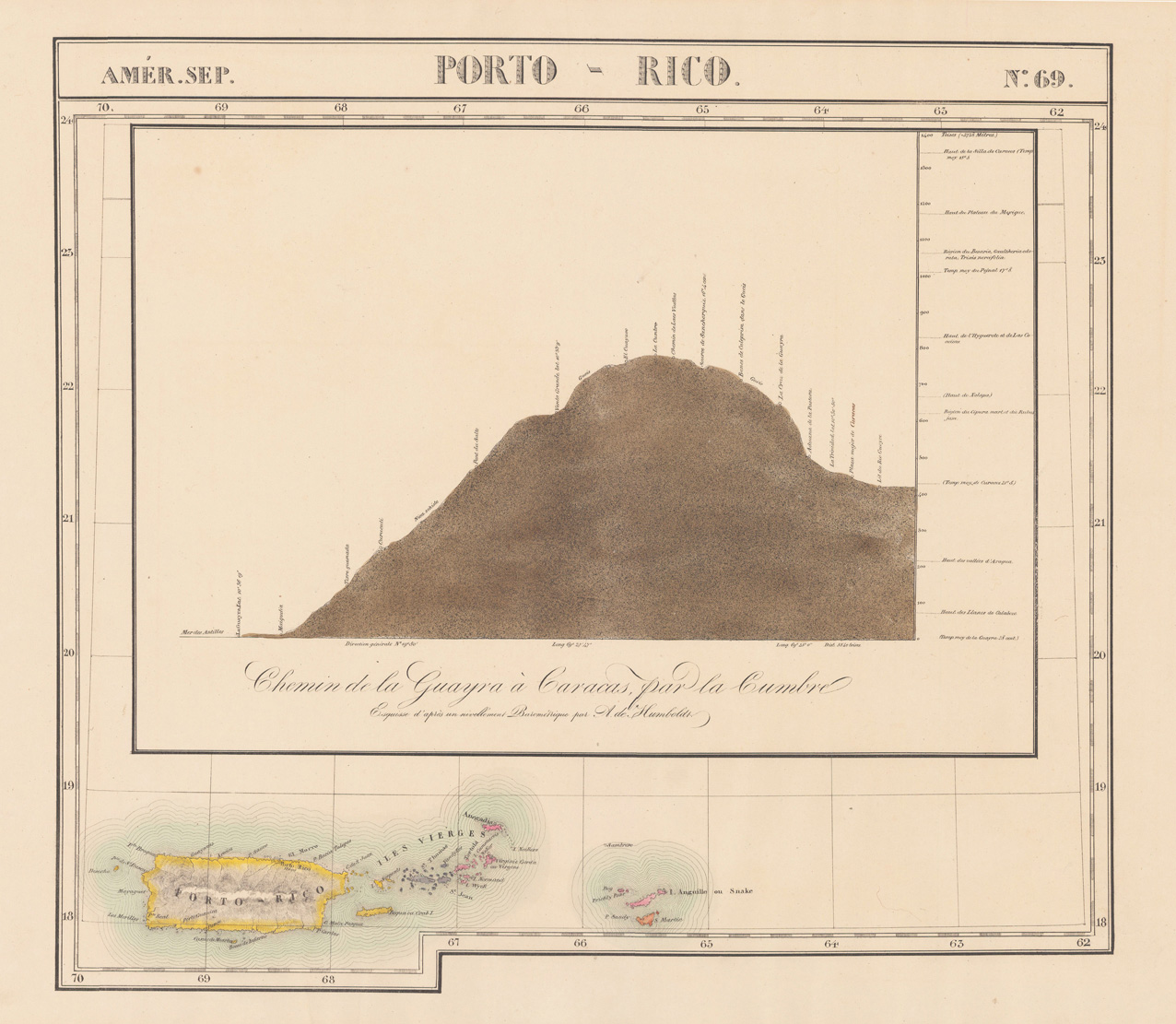
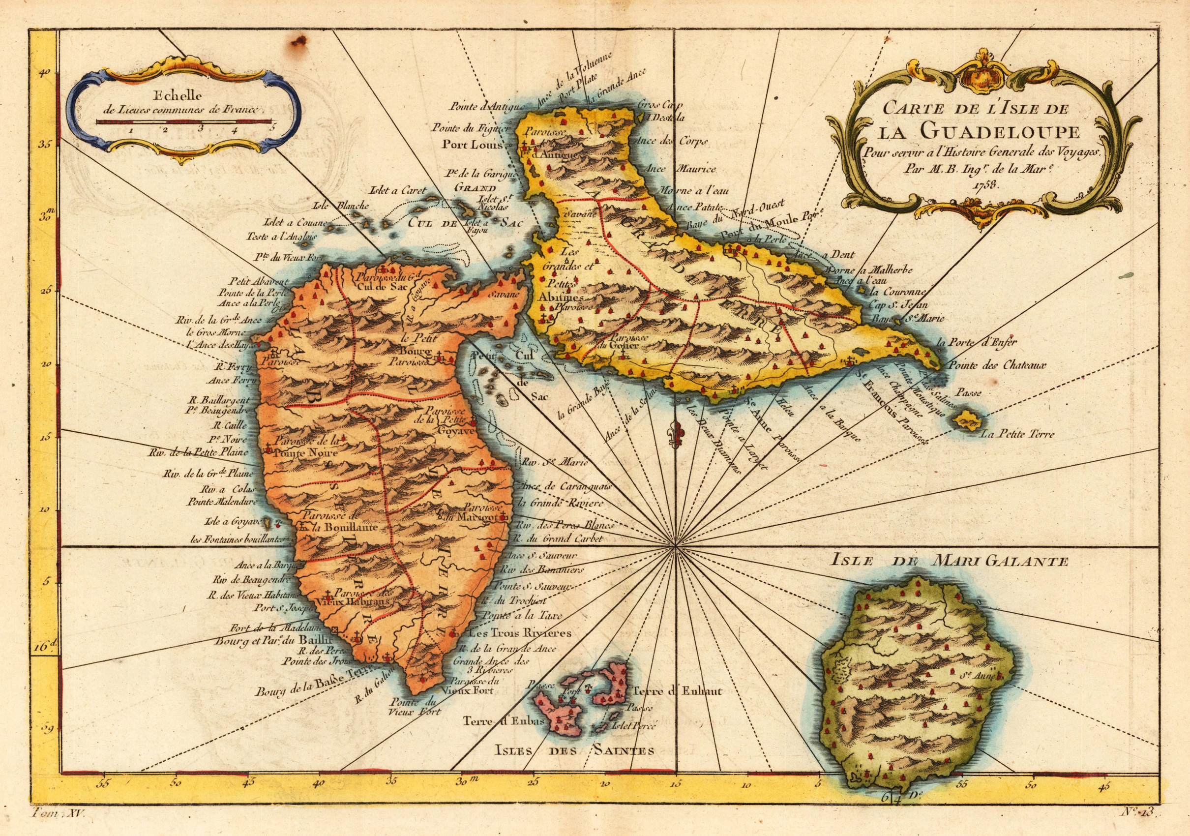
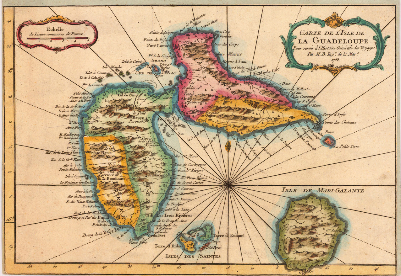
Copper engraving, hand colored in outline and wash. A detailed map on the island of Guadelupe and Maria Galante. Many villages are named, a large number of the names of the bays around the island are engraved.
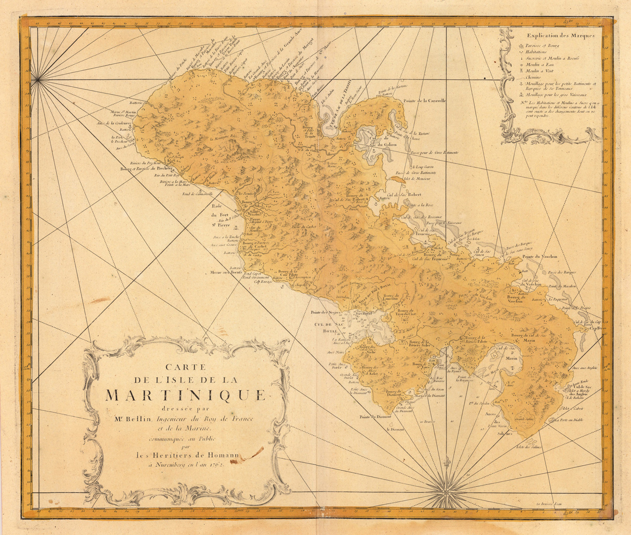
Original antique copper engraving, hand colored in outline and wash when published. In the lower left corner ornated with a decorative title cartouche, in the upper right corner we find a cartouche with explanations to the map. Published 1762 by Homanns Heirs after the cartographic scources of Bellin. A very detailled map in a large scale showing many villages and settlements, rivers, mountains, ports and streets as well. Johann Baptist Homann (20 March 1664 – 1 July 1724) was a German geographer and cartographer, who also made maps of the Americas. Homann was born in Oberkammlach near Kammlach in the Electorate of Bavaria. Although educated at a Jesuit school, and preparing for an ecclesiastical career, he eventually converted to Protestantism and from 1687 worked as a civil law notary in Nuremberg. He soon turned to engraving and cartography; in 1702 he founded his own publishing house. Homann acquired renown as a leading German cartographer, and in 1715 was appointed Imperial Geographer by Emperor Charles VI. Giving such privileges to individuals was an added right that the Holy Roman Emperor enjoyed. In the same year he was also named a member of the Prussian Academy of Sciences in Berlin. Of particular significance to cartography were the imperial printing privileges (Latin: privilegia impressoria). These protected for a time the authors in all scientific fields such as printers, copper engravers, map makers and publishers. They were also very important as a recommendation for potential customers. In 1716 Homann published his masterpiece Grosser Atlas ueber die ganze Welt (Grand Atlas of all the World). Numerous maps were drawn up in cooperation with the engraver Christoph Weigel the Elder, who also published Siebmachers Wappenbuch. Homann died in Nuremberg in 1724. He was succeeded by his son Johann Christoph (1703-1730). The company carried on upon his death as Homann heirs company, managed by Johann Michael Franz and Johann Georg Ebersberger. After subsequent changes in management the company folded in 1852.[1] The company was known as "Homann Erben", "Homanniani Heredes", or "Heritiers de Homann" abroad. (Wikipedia)
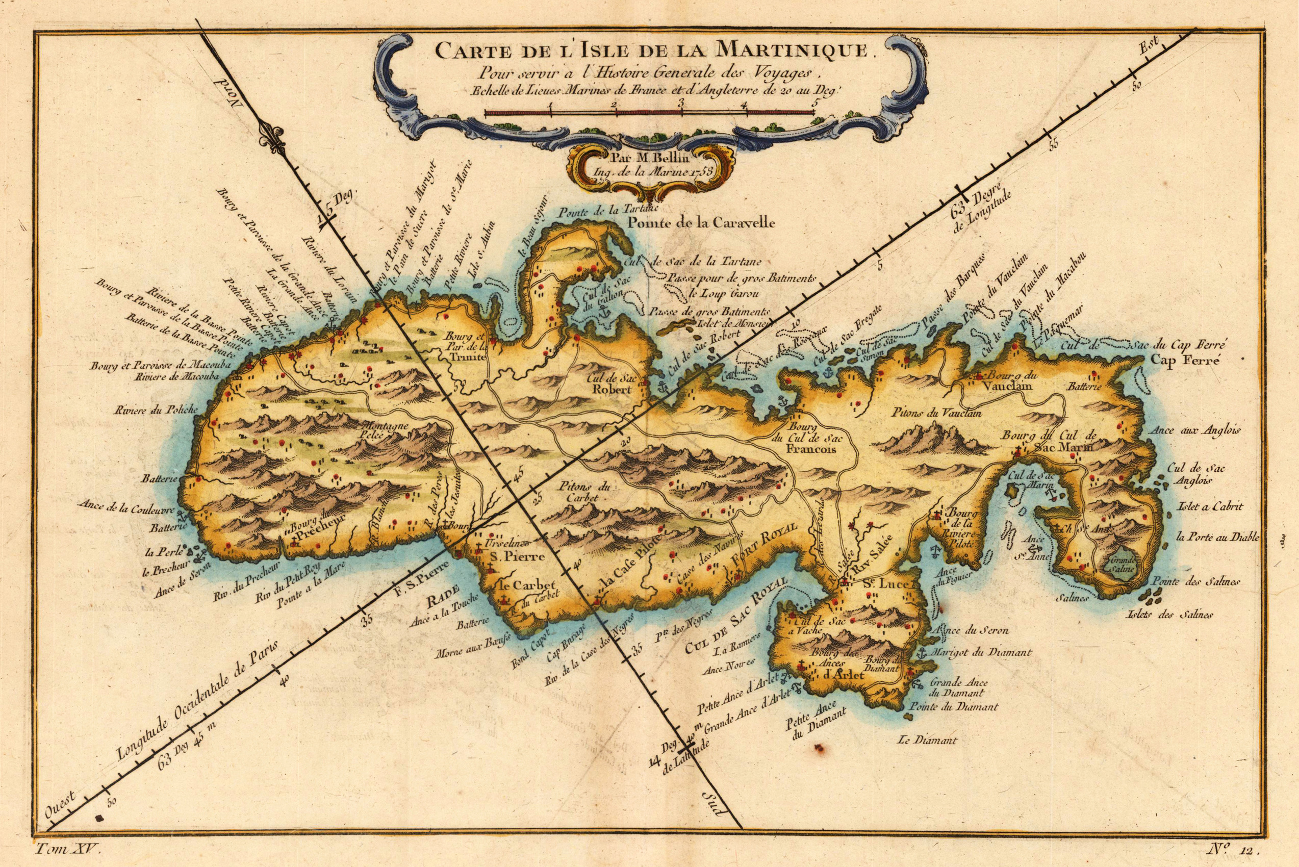
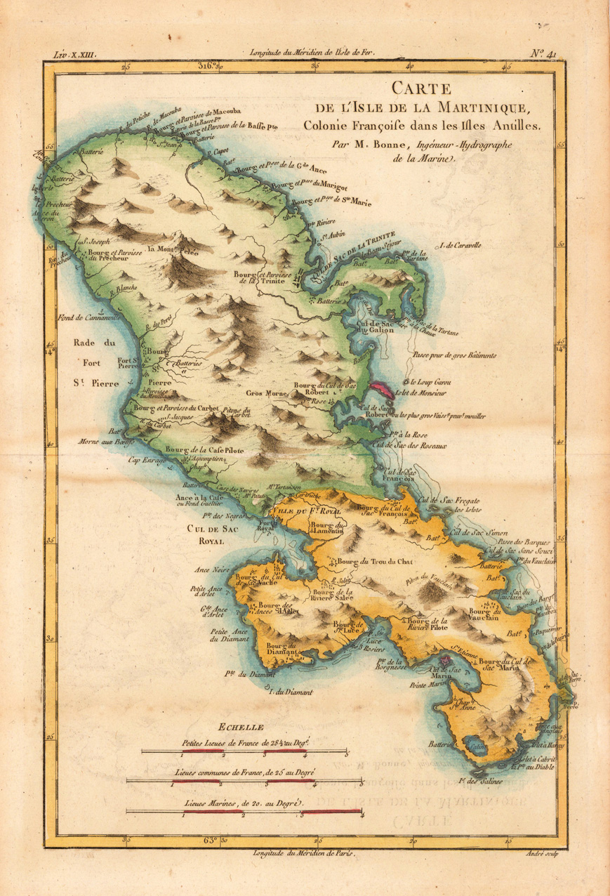
Copper engraving, hand colored in outline and wash. Detailed map showing the French colony 'Island of Martinique'. Rivers, small villages as well mountains are shown on the engraved map. Engraved by André. Rigobert Bonne (1727-1794) was a French cartographer of the late 18th century. He studied in Paris and practiced cartography. He became a skilled cartographer and hydrographer and became a royal hydrographer at the ,Depot de la Marine' in 1773. In 1780 he engraved and published the maps for Abbe Raynal's work ,Atlas de Toutes Les Parties Connues du Globe Terrestre'. He also published many charts for the ,Depot de la Marine', further he engraved the maps for the ,Atlas Encyclopedique' in 1788 together with Nicholas Desmarest.
Copper engraving, hand colored in outline and wash. Rigobert Bonne (1727-1794) was a French cartographer of the late 18th century. He studied in Paris and practiced cartography. He became a skilled cartographer and hydrographer and became a royal hydrographer at the ,Depot de la Marine' in 1773. In 1780 he engraved and published the maps for Abbe Raynal's work ,Atlas de Toutes Les Parties Connues du Globe Terrestre'. He also published many charts for the ,Depot de la Marine', further he engraved the maps for the ,Atlas Encyclopedique' in 1788 together with Nicholas Desmarest.
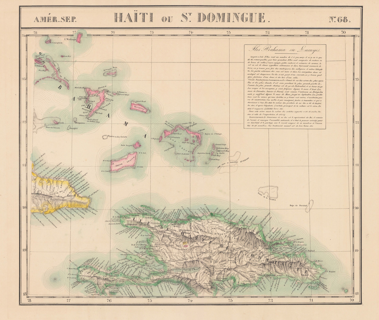
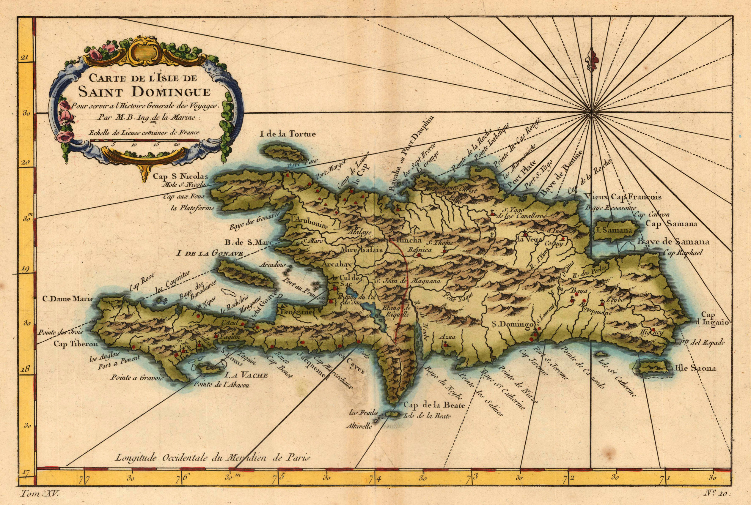
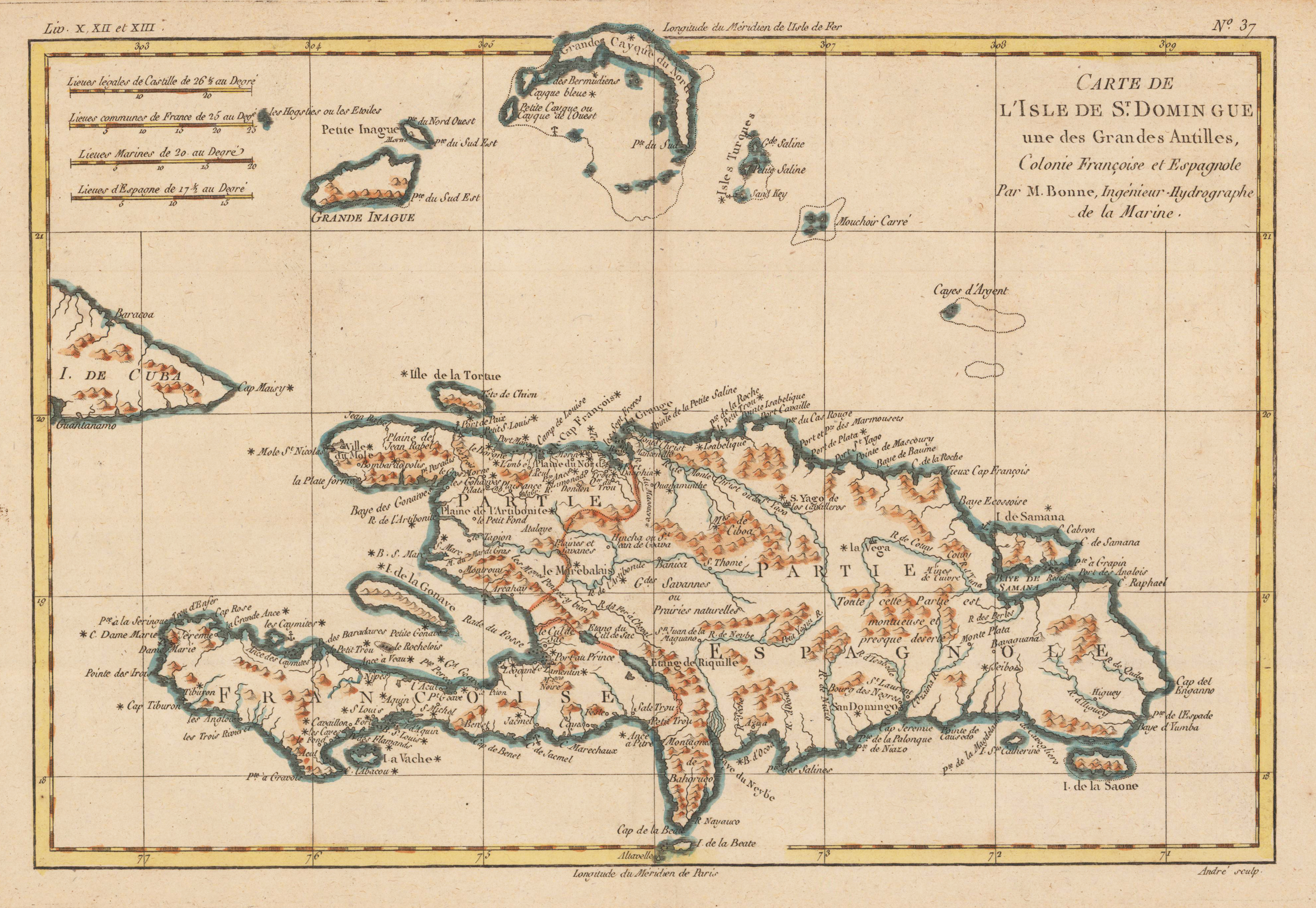
Copper engraving, hand colored in outline and wash. Detailed map of the island of Haiti (St. Domingue) part of the greater Antilles, engraved by André. nteresting double page map of Hispaniola & surrounding islands. North of St. Dominica with the Turkos and Caicos Islands and the easternmost island Mayaguana (district of the Bahamas). Rivers, small villages as well mountains are shown on the engraved map. Rigobert Bonne (1727-1794) was a French cartographer of the late 18th century. He studied in Paris and practiced cartography. He became a skilled cartographer and hydrographer and became a royal hydrographer at the,Depot de la Marine' in 1773. In 1780 he engraved and published the maps for Abbe Raynal's work,Atlas de Toutes Les Parties Connues du Globe Terrestre'. He also published many charts for the,Depot de la Marine', further he engraved the maps for the,Atlas Encyclopedique' in 1788 together with Nicholas Desmarest.
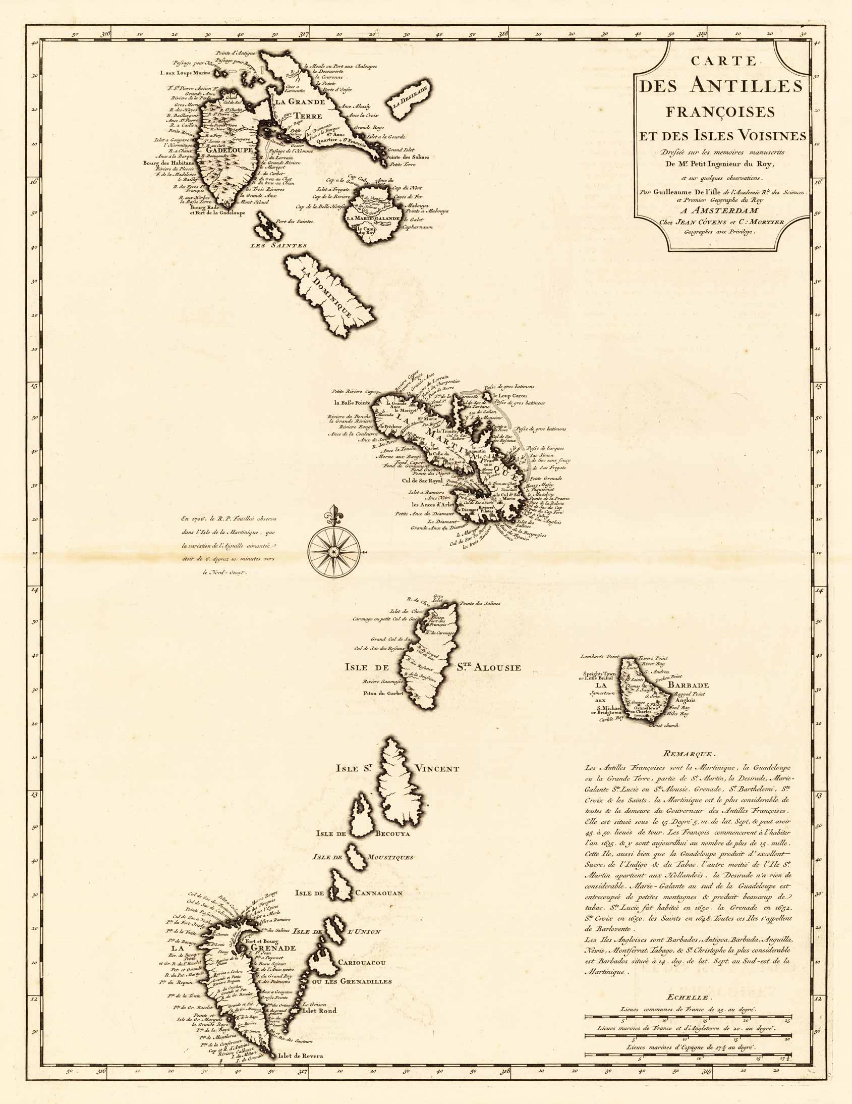
Copper engraving, uncolored as published. A strong and fine impression of the map of the French Antilles published by Covens & Mortier in Amsterdam. The map was engraved after the cartographic scources by Guilleaume De I'isle.
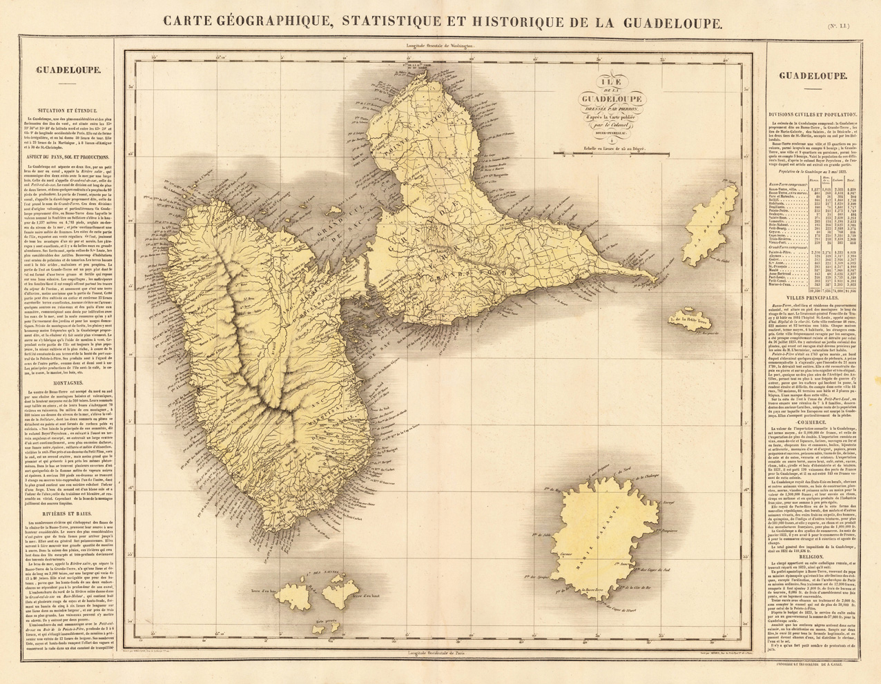
Copper engraving, handcolored in wash when published. Fine engraved map of the island of Guadeloupe in the West Indies showing detailed the island with many place names, bays, mountains, small islands and many rivers. With the neighboring small islands Marie Galante, Isle de Saintes, Petit Terre and la Desirade. The map is surrounded by descriptive text on Guadeloupe, providing information on the climate, the rivers, cities and its history.
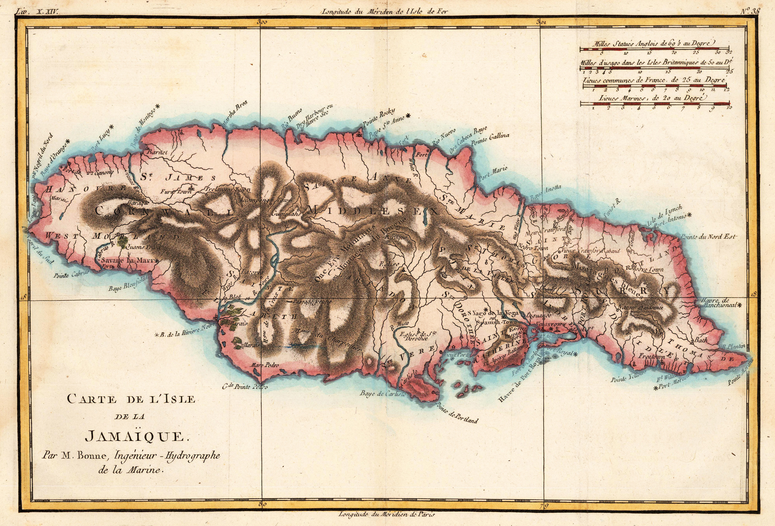
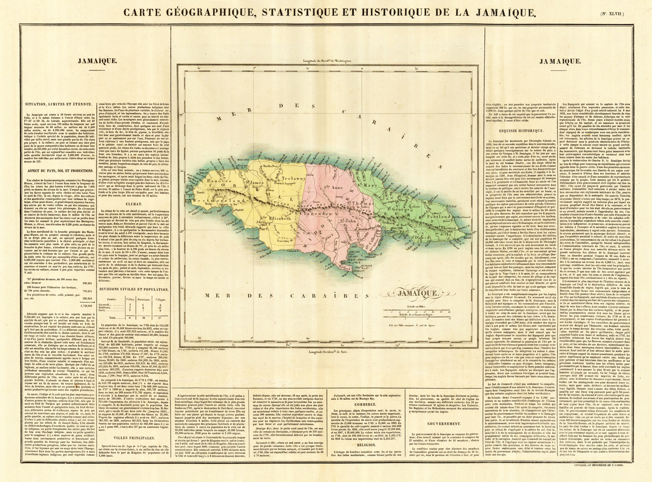
Copper engraving, handcolored in wash when published. Fine engraved map of the island of Jamaica in the West Indies showing detailed the island with many place names, its parishes, bays, mountains, small islands and many rivers. The map is surrounded by descriptive text on Jamaica, providing information on the climate, the rivers, cities and its history.
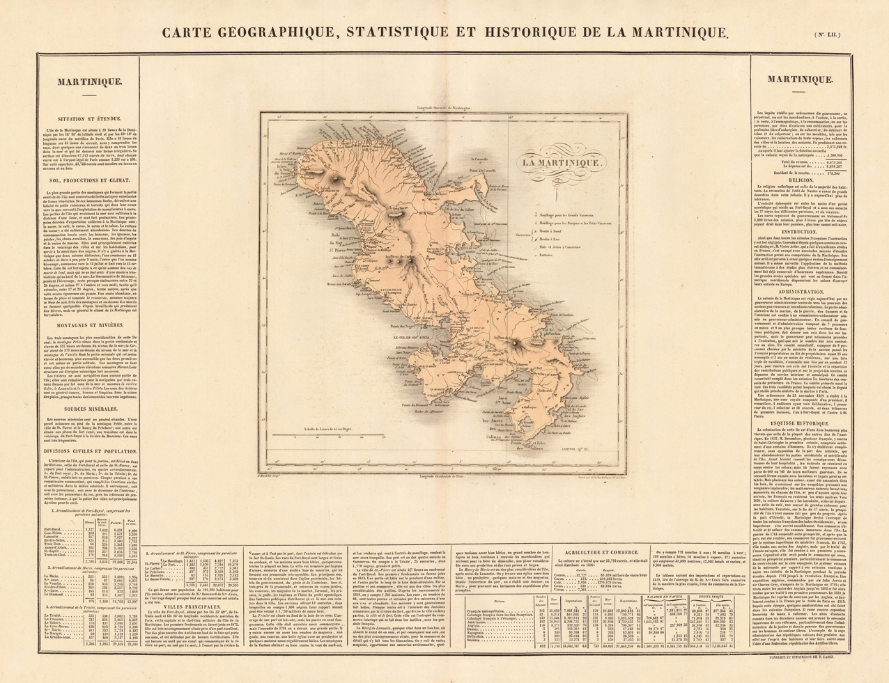
Copper engraving, handcolored in wash when published. Fine engraved map of the island of Martinique in the West Indies showing detailed the island with many place names, bays, mountains, small islands and many rivers. The map is surrounded by descriptive text on Martinique, providing information on the climate, the rivers, cities and its history.
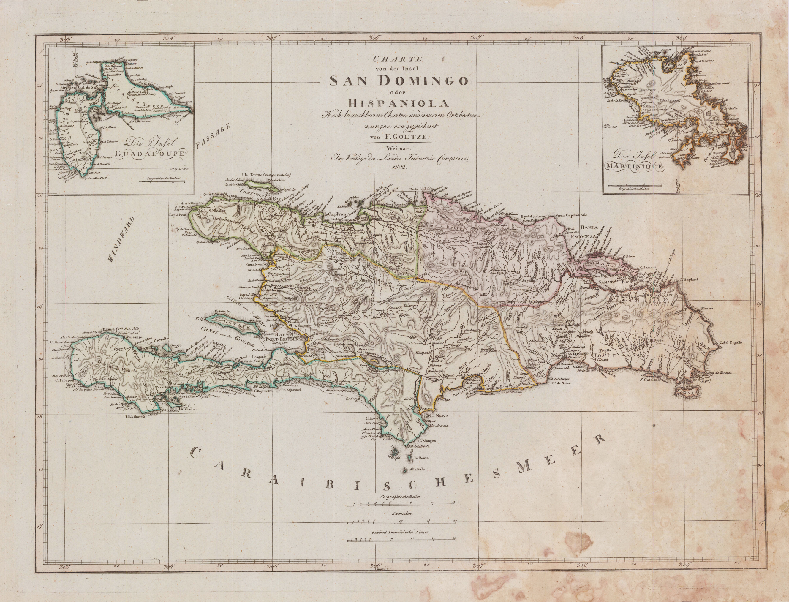
Original copper-engraving, handcolored in outline, when published. A large and detailed map of St. Domingo (Haiti), providing many place names, rivers, mountains, settlements, etc. Ornated in the upper right corners with two inset maps of: Guadaloupe & Martinique. Handcolored decorativ in outline, showing the different political regions or departments on St. Domingo.
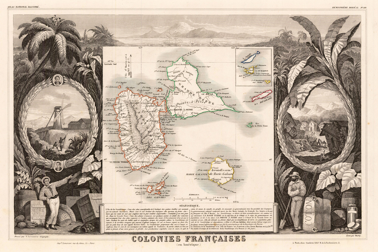
Original engraved map, hand colored in outline when published in V. Levasseur's atlas of French departments. In the centre of this map the islands Guadeloupe, Maria-Galante, the Saint Islands are shown. Below we find a table with descriptive text. The borders are richly decorated with a scene of the vulcano Soufriére. Around the map are various allegories on trading and manfacturing sugar, coffee and cacao together with palm trees. At the left side is a windmill with working people on the fields. At the right side a demolished village after an hurricane or earthquake is shown.
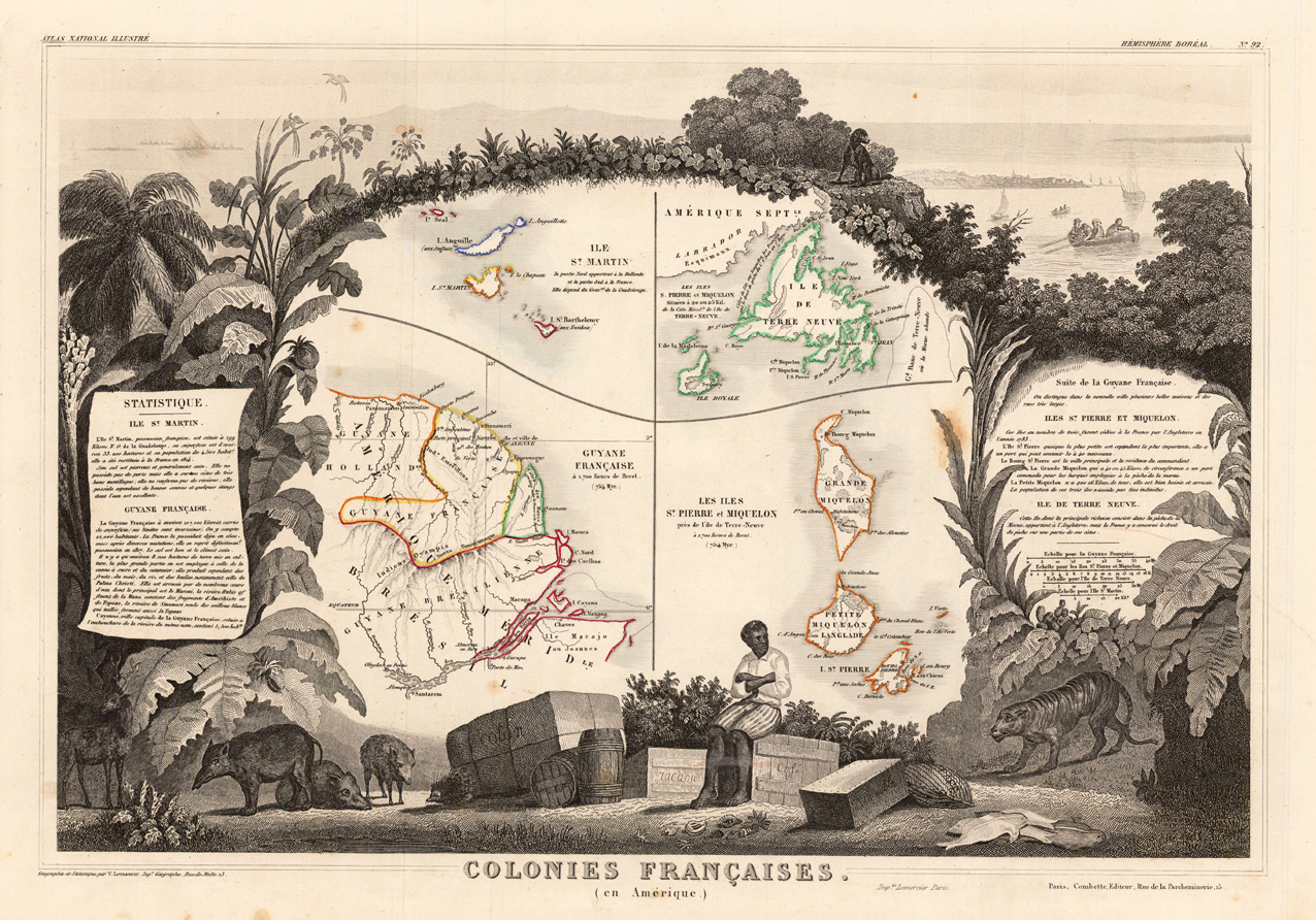
Original engraved map, hand colored in outline when published in V. Levasseur's atlas of French departments. The very decorative antique map shows in the centre the islands St. Martin, Newfoundland, French Guiana, Grande Miquelon, Langlade and Saint-Pierre. Surrounded is the map by tabacco leaves, many plants and animals. In the upper right corner a scene of an inhabitated island in the distance with sailingboats and persons in the foreground. At the bottom allegories on the trading with cotton, tabacco and coffee, further wildboars, fiish, etc. On both sides cartouches with descriptive text or statistic tables.
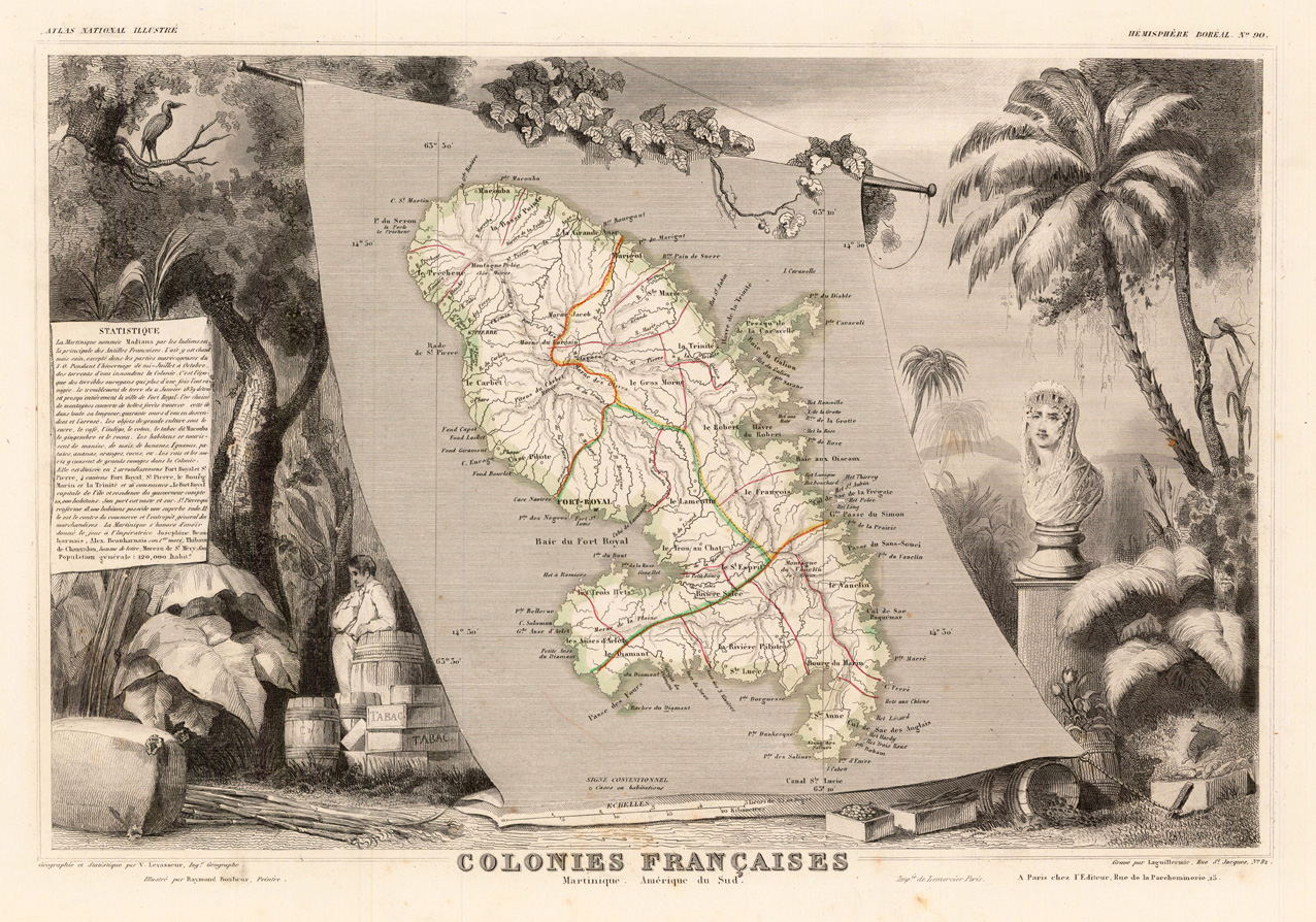
Original engraved map, hand colored in outline when published in V. Levasseur's atlas of French departments. This antique map of Martinique is here shown in the centre on a large sailing linen-sheet. Many names of villages, streets, bordrs and rivers are engraved. Below are scene with trees and palms together with animals and people. Shown are also several jars with coffee, cacao and boxes with tabacco and a column with a fine engraved statue. At the left side we find a table with descriptive text.
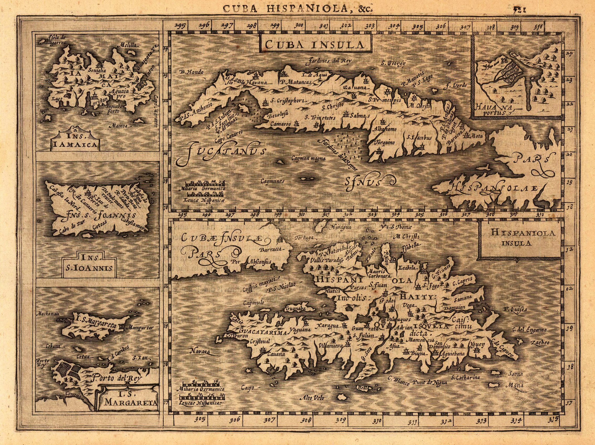
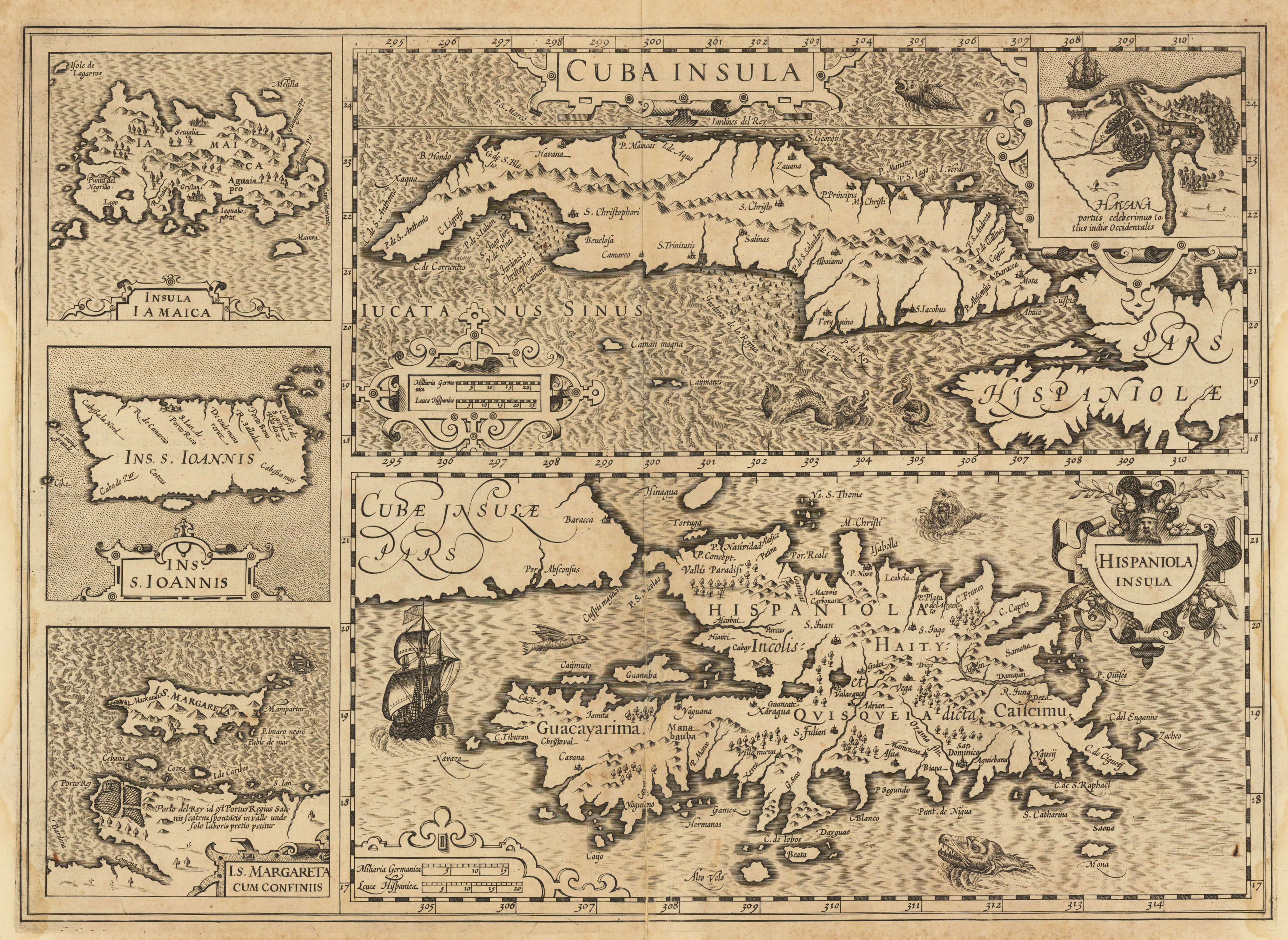
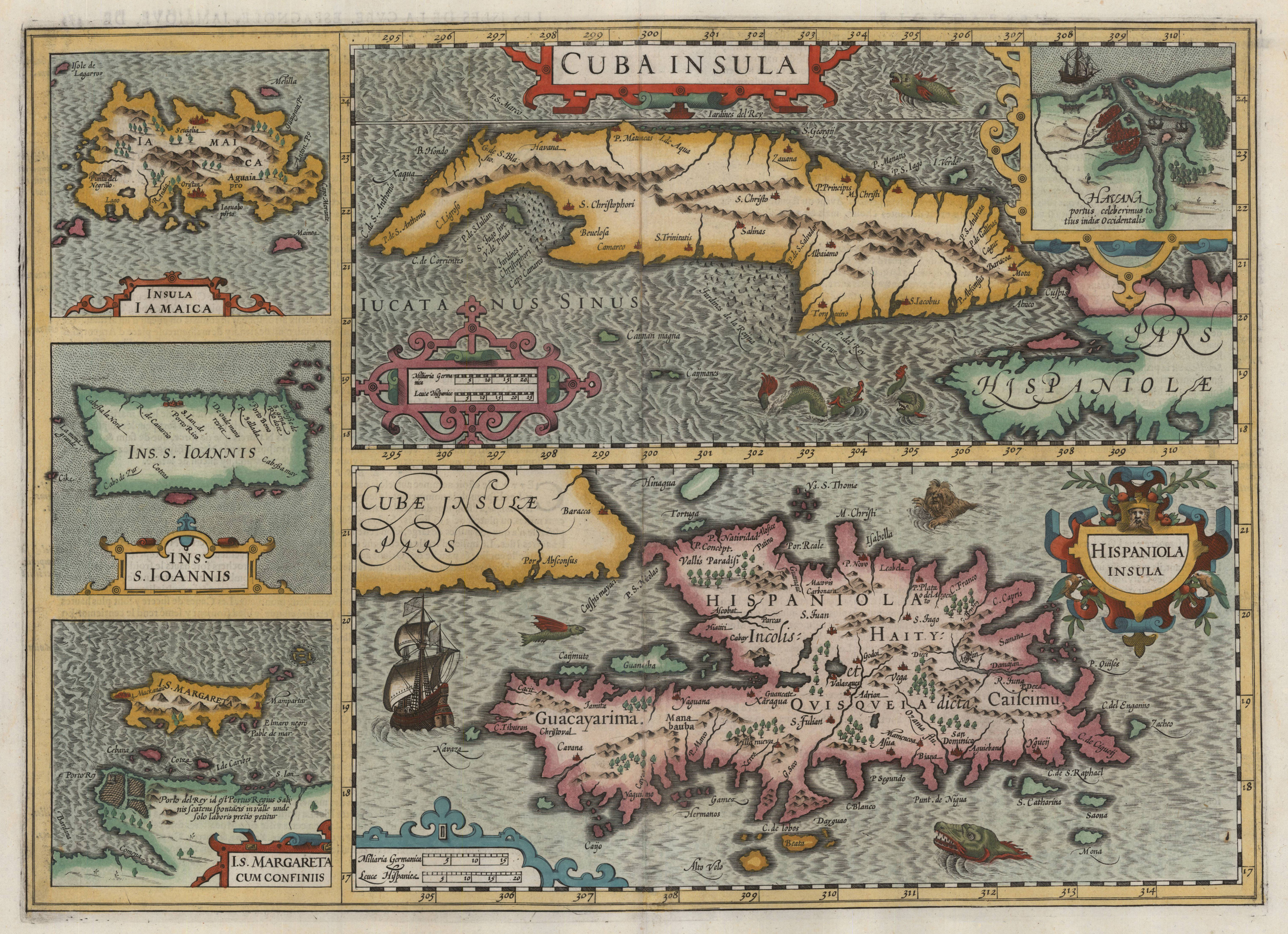
Original antique copper engraving, uncolored as published. A fine copy in a dark impression, full margins as published. Two main maps show Cuba, with inset of Havana, and St.Domingo; three smaller maps at the left show Jamaica, Puerto Rico called "Ins.S.Ioannis" and Margarita, the celebrated Pearl Island off the coast of Venezuela. Map of Japan, South Corea and the eastern part of China. Engraved are towns, villages, landmarks, mountains and rivers. A fine copy in a dark impression, full margins as published. This is the first so-called Cloppenburgh editions which was a competive edition with new engraved maps in a larger format. Most of the maps were engraved by Pieter van den Keere. The Cloppenburgh edition was continued for a couple of years but seems to have been suppressed after 1636 ... This is another Cloppenburgh edition, now with Latin text. The maps from the Appendix have been incorporated. The title-page is followed by a dedication to Prince Frederik Hendrik, dated 1632 and signed by Johannes Cloppenburgh. (Koeman Atlantes Neerlandici). Gerardus Mercator (5 March 1512 – 2 December 1594) was a 16th-century geographer, cosmographer and cartographer from the County of Flanders. He is most renowned for creating the 1569 world map based on a new projection which represented sailing courses of constant bearing (rhumb lines) as straight lines—an innovation that is still employed in nautical charts. Mercator was one of the pioneers of cartography and is widely considered the most notable figure of the school in its golden age (approximately 1570s–1670s). In his own day, he was a notable as maker of globes and scientific instruments. In addition, he had interests in theology, philosophy, history, mathematics and geomagnetism. He was also an accomplished engraver and calligrapher. Unlike other great scholars of the age he travelled little and his knowledge of geography came from his library of over one thousand books and maps, from his visitors and from his vast correspondence (in six languages) with other scholars, statesmen, travellers, merchants and seamen. Mercator's early maps were in large formats suitable for wall mounting but in the second half of his life, he produced over 100 new regional maps in a smaller format suitable for binding into his Atlas of 1595. This was the first appearance of the word Atlas in reference to a book of maps. However, Mercator used it as a neologism for a treatise (Cosmologia) on the creation, history and description of the universe, not simply a collection of maps. He chose the word as a commemoration of the Titan Atlas, "King of Mauretania", whom he considered to be the first great geographer. A large part of Mercator's income came from sales of his terrestrial and celestial globes. For sixty years they were considered the finest in the world, and were sold in such great numbers that there are many surviving examples. This was a substantial enterprise involving the manufacture of the spheres, printing the gores, building substantial stands, packing and distributing all over Europe. He was also renowned for his scientific instruments, particularly his astrolabes and astronomical rings used to study the geometry of astronomy and astrology. Mercator wrote on geography, philosophy, chronology and theology. All of the wall maps were engraved with copious text on the region concerned. As an example the famous world map of 1569 is inscribed with over five thousand words in fifteen legends. The 1595 Atlas has about 120 pages of maps and illustrated title pages but a greater number of pages are devoted to his account of the creation of the universe and descriptions of all the countries portrayed. His table of chronology ran to some 400 pages fixing the dates (from the time of creation) of earthly dynasties, major political and military events, volcanic eruptions, earthquakes and eclipses. He also wrote on the gospels and the old testament. Mercator was a devout Christian born into a Catholic family at a time when Martin Luther's Protestantism was gaining ground. He never declared himself as a Lutheran but he was clearly sympathetic and he was accused of heresy by Catholic authorities; after six months in prison he was released unscathed. This period of persecution is probably the major factor in his move from Catholic Leuven (Louvain) to a more tolerant Duisburg, in the Holy Roman Empire, where he lived for the last thirty years of his life. Walter Ghim, Mercator's friend and first biographer, describes him as sober in his behaviour, yet cheerful and witty in company, and never more happy than in debate with other scholars. Above all he was pious and studious until his dying days.