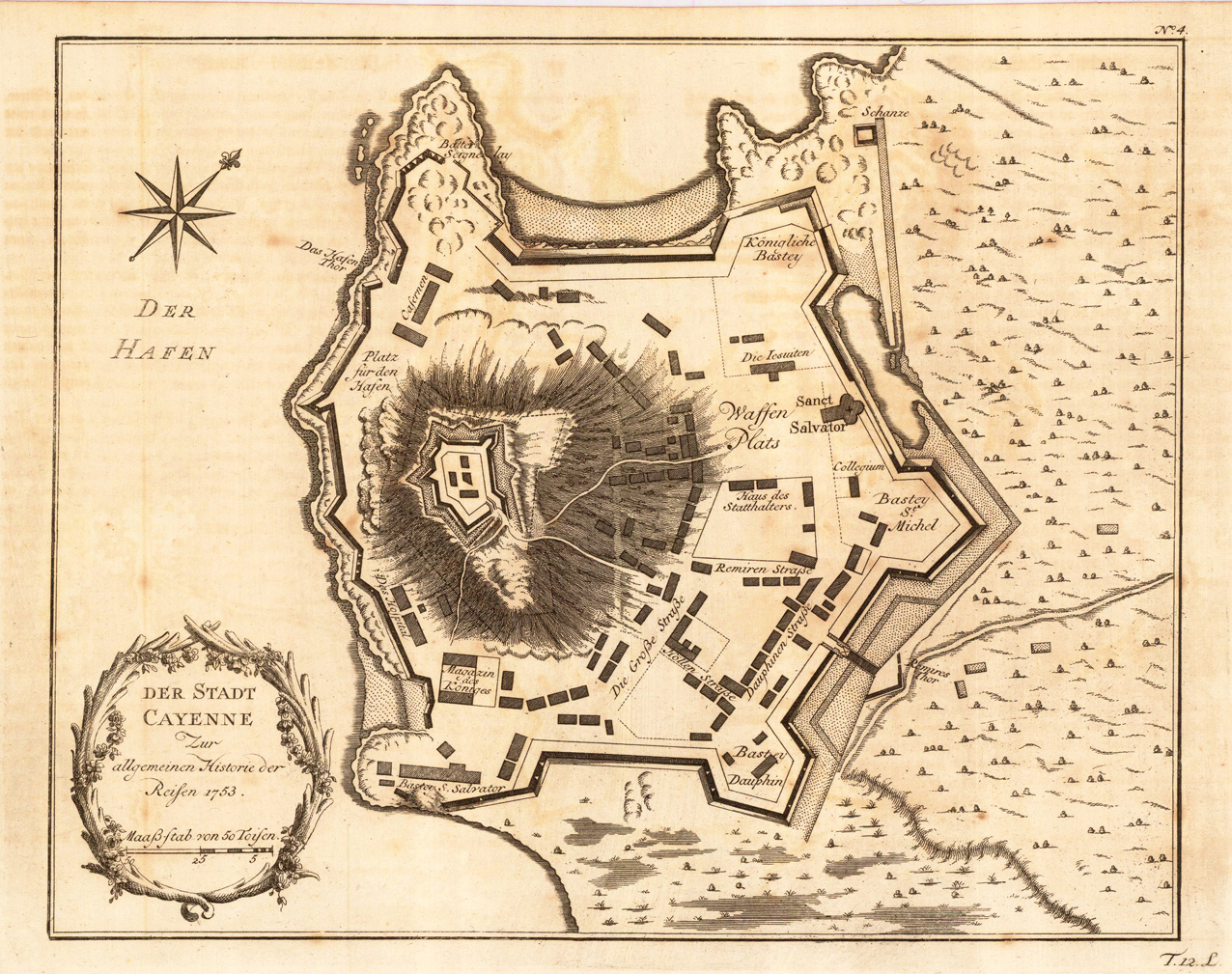
Copper engraving, uncolored as published. Detailled map showing the fortified city Cayenne in French Guiana. With many details on streets and houses. Detailed and interesting map engraved by Bellin after earlier voyages.
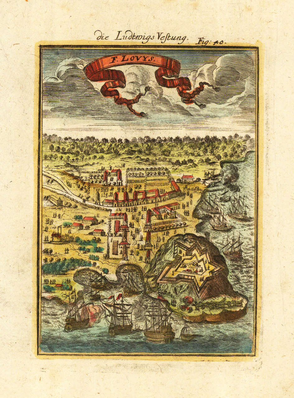
Copper-engraving, handcolored in wash and outline. This antique map shows us the fortress of Louisbourg as a bird´s eye view. The decorative engraving with sailing ships in the foreground, the port of Louisbourg with its fortress and the nearby town.
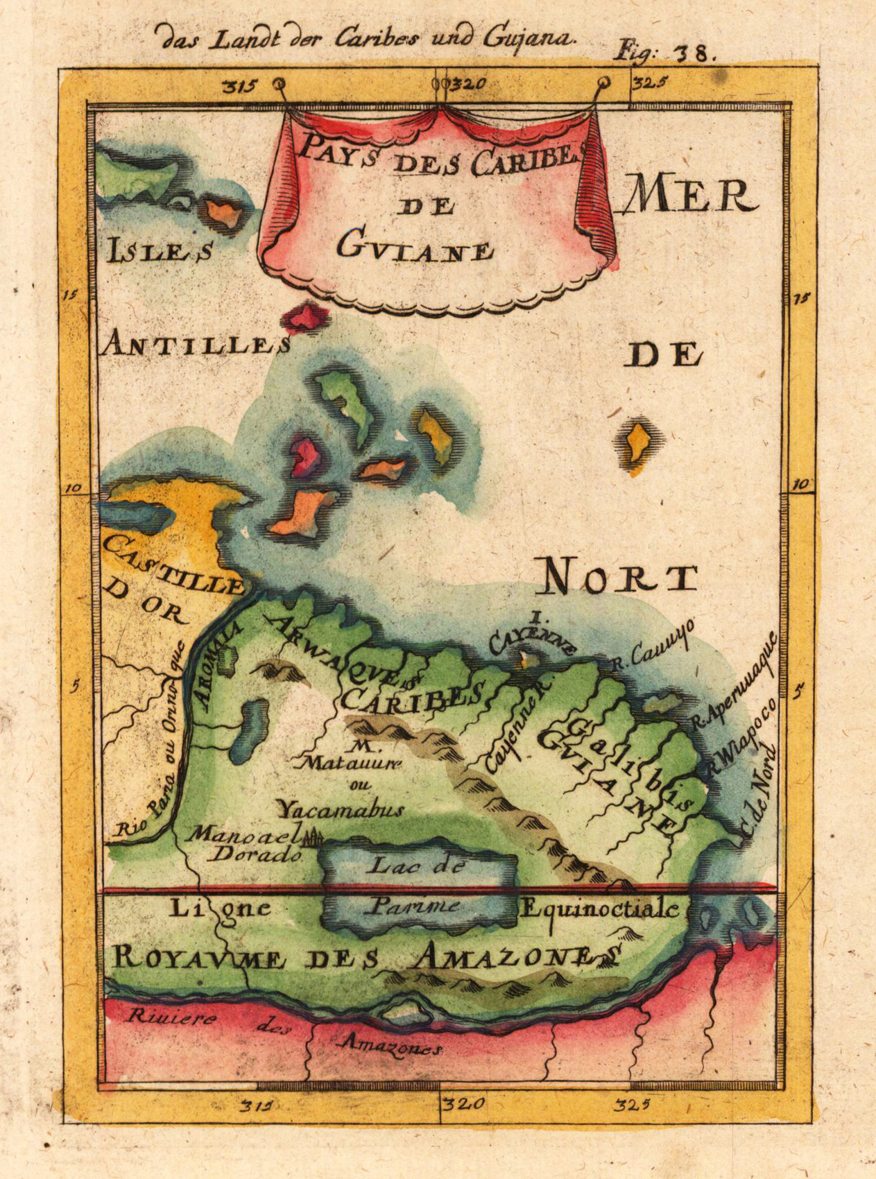
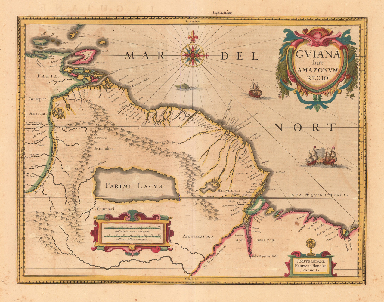
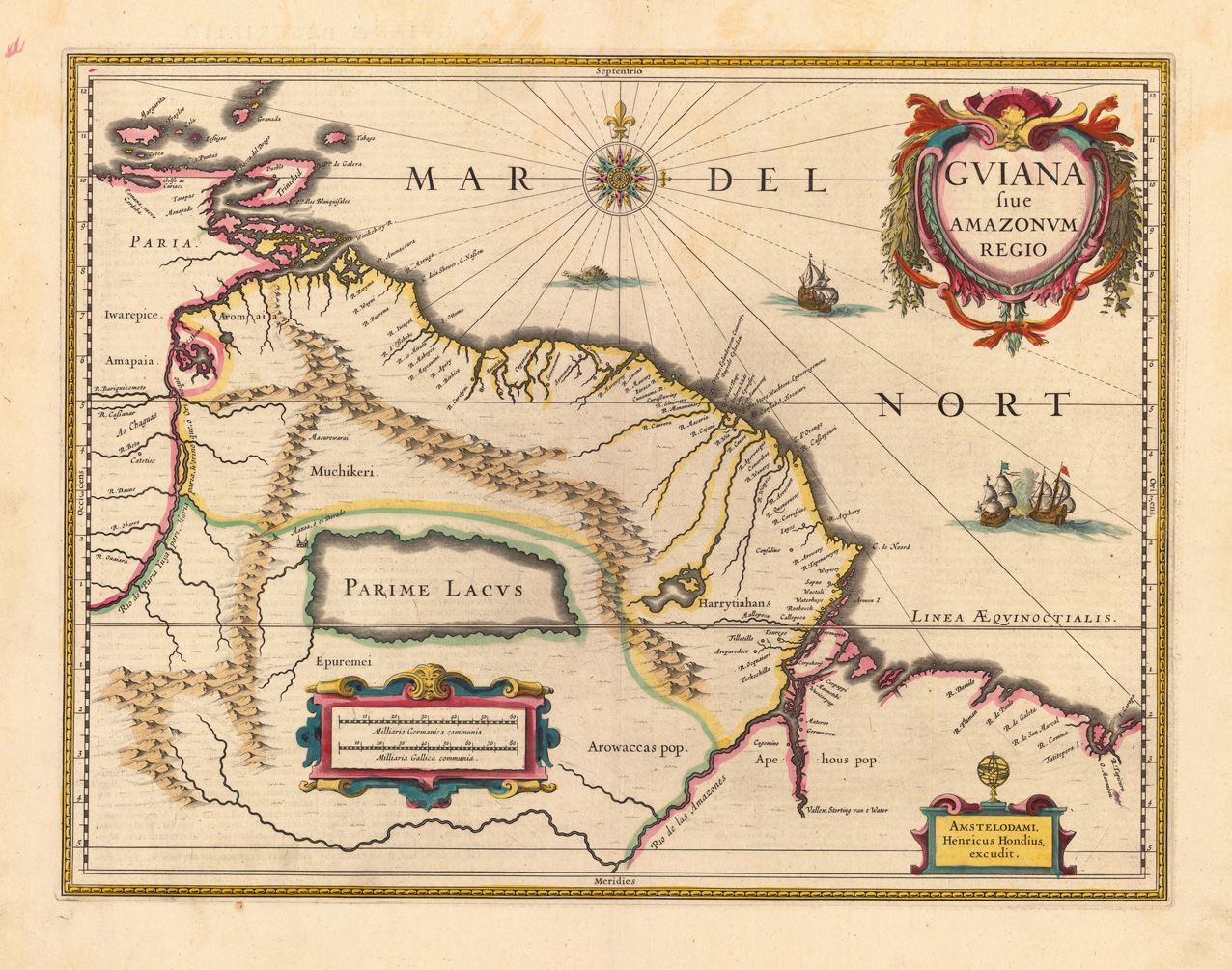
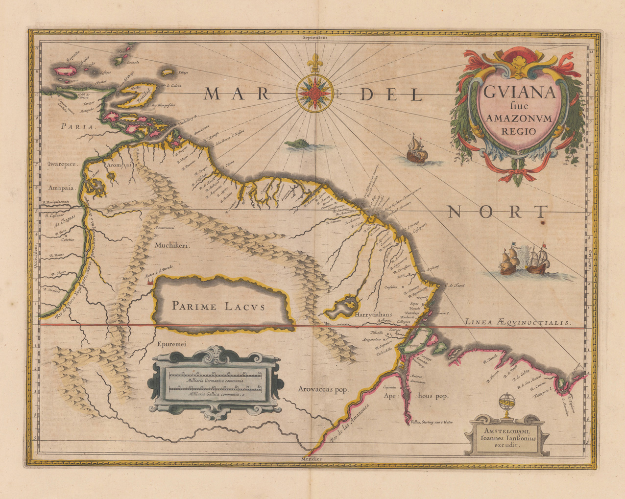
Copper engraving, hand colored in outline when published. A highly decorative map showing Guiana with the neighboring Amazonas region. In the right upper corner we find the title cartouche. Inside the map are many rivers, place names, mountains, etc. engraved.
Copper engraving, hand colored in outline and wash when published. Published in Amsterdam at Hendrik Hondius, verso descriptive French text. This decorative map shows Guiana with the neighboring Trinidad and the adjacenting Amazon river. In the left lower side is a decorative renaissance mileage scale and in the upper right corner is a highly decorative ornated title cartouche. The Atlantic Ocean is ornated with a compass rose, sailing ships and a sea monster.
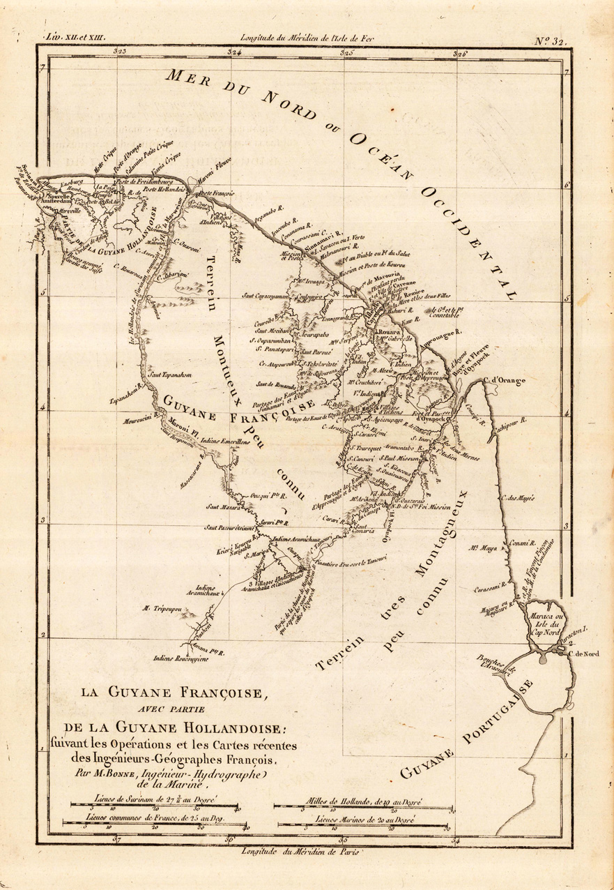
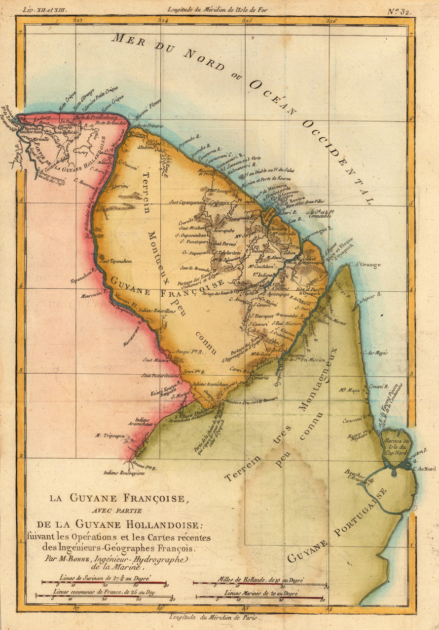
Original antique copper engraving, uncolored as published. This antique map shows French Guinea with many place names, rivers and engraved mountains. At the bottom is an engraved mileage scale. Rigobert Bonne (6 October 1727 – 2 September 1794) was a French cartographer, widely considered to be one of the most important cartographers of the late 18th century. In 1773 Bonne succeeded Jacques Nicolas Bellin as Royal Cartographer to France in the office of the Hydrographer at the Depôt de la Marine. Working in his official capacity, Bonne compiled some of the most detailed and accurate maps of the period. Bonne's work represents an important step in the evolution of the cartographic ideology away from the decorative work of the 17th and early 18th century towards a more detail oriented and practical aesthetic. With regard to the rendering of terrain Bonne maps bear many stylistic similarities to those of his predecessor, Bellin. However, Bonne maps generally abandon such common 18th century decorative features such as hand coloring, elaborate decorative cartouches, and compass roses. While mostly focusing on coastal regions, the work of Bonne is highly regarded for its detail, historical importance, and overall aesthetic appeal. (Wikipedia)
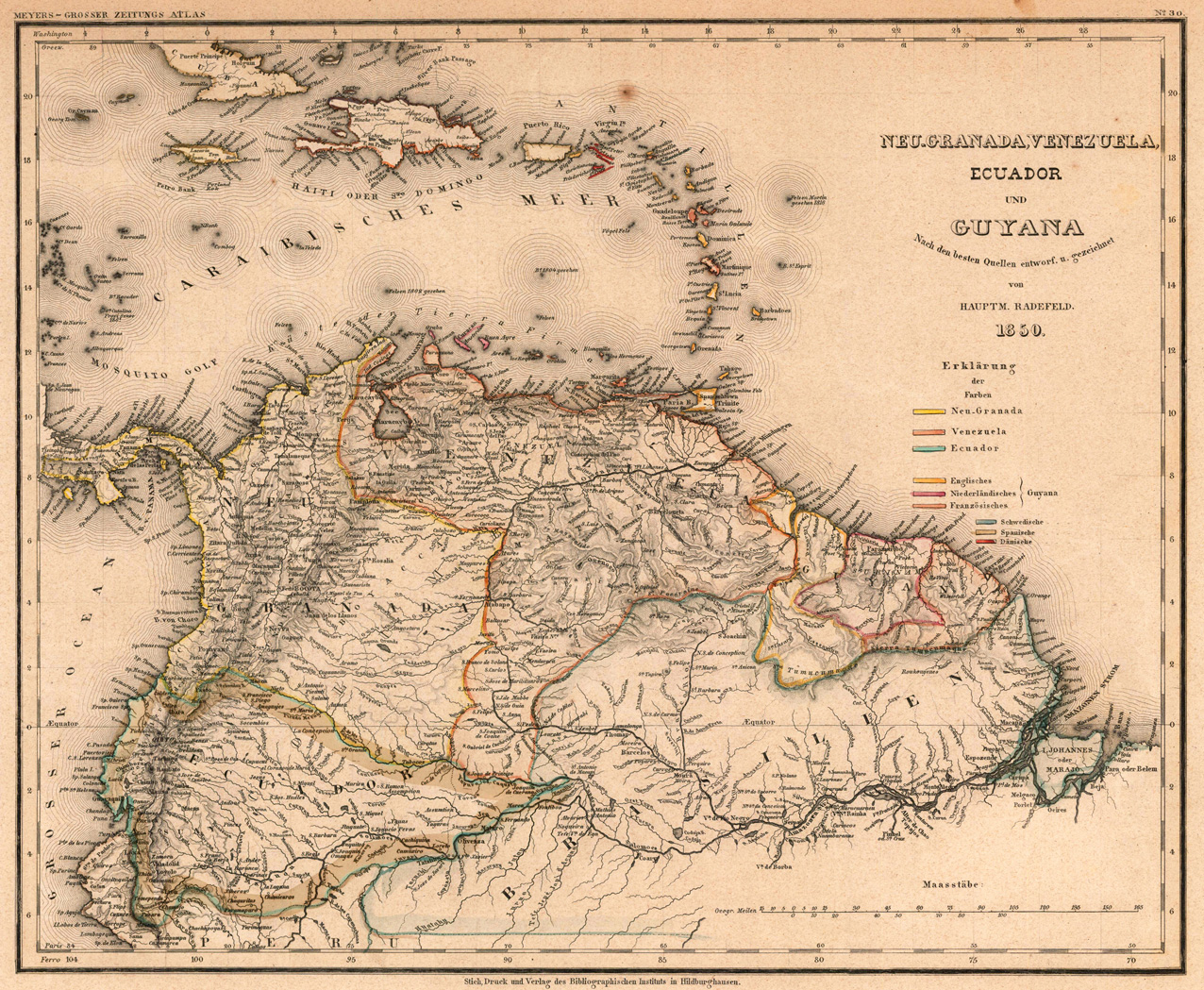
Steel engraving, hand colored in outline, when published. Detailed map of New Granada, Venezuela, Ecuador & Guyana. Many cities, villages and smaller places are shown, as rivers and mountains. An interesting and very detailed map of the northern part of South America with New Granada, Venezuela and Equador and parts of the amazon regions of northern Brazil. Political borders are shown in different colors. The map was published in the famous large edition of Meyer´s ,Zeitungsatlas'.
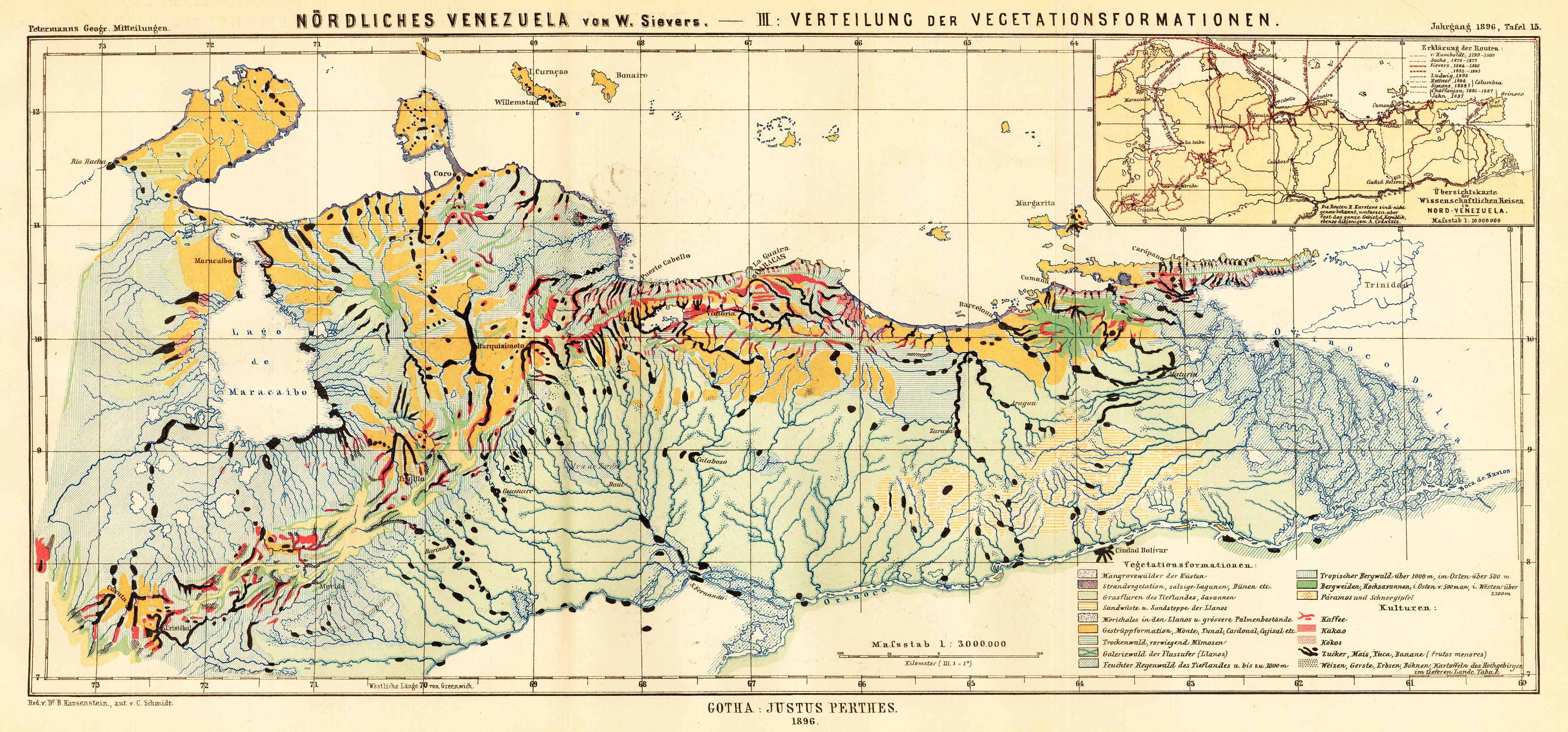
Lithograph, original color in outline when published. Interesting map of the spread of the vegetation zones in northern Venecuela. An interesting antique map with rich information on Venecuela. At the bottom an extensive key with explanations, in the upper right corner a small inset map.
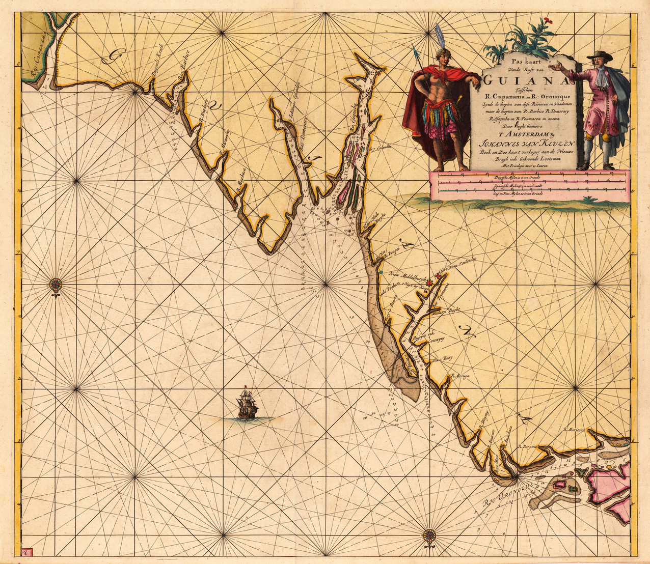
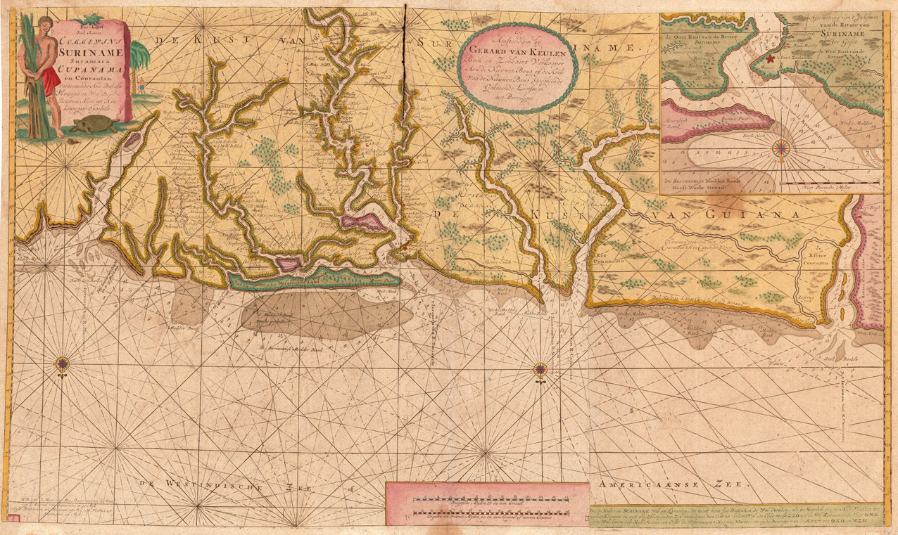
Original antique copper engraving, finely hand colored in outline and wash, probably later hand color. Detailed chart of Guiana in South America. Remarkable the highly decorated hand colored title cartouches. Johannes van Keulen (1654 in Deventer – 1715 in Amsterdam) was a 17th-century Dutch cartographer. He published the influential nautical atlas the Zee-Atlas and the pilot guide Zee-Fakkel (meaning Sea-Torch in English). In 1678 Johannes van Keulen established himself in Amsterdam and in 1680 he obtained a patent from the States of Holland and West Friesland allowing him to print and publish maritime atlases and shipping guides. These were books of maps and descriptions of itineraries, used by helmsmen for safe navigation. The patent was a kind of protection against illegal copying of produced books and charts. This was especially important for the atlases which were made with extensive initial costs. Van Keulen named his firm 'In de Gekroonde Lootsman' ('In the Crowned Pilot'). Soon Van Keulen struck a deal with cartographer Claes Jansz. Vooght. From 1681 onwards the Nieuwe Lichtende Zee-Fakkel appeared, a five-volume atlas for which Vooght compiled the maps[1] and which was illustrated by Jan Luyken. The five volume Zee-Fakkel made Johannes van Keulen famous. The Zee-Fakkel was published in 5 volumes between 1681 and 1684 containing over 130 new charts. (Wikipedia)
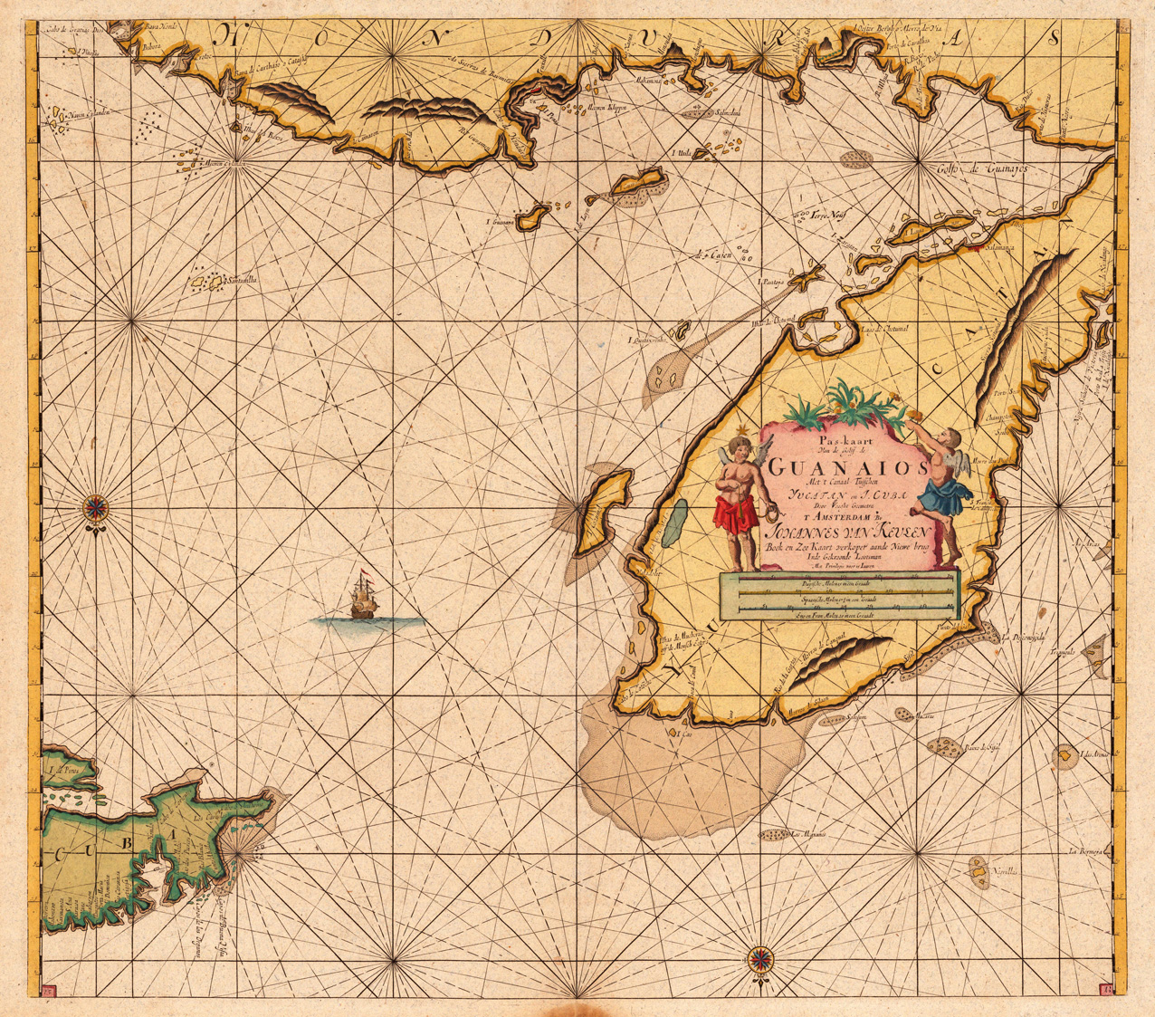
Original antique copper engraving, later hand colored. Johannes van Keulen (1654 in Deventer – 1715 in Amsterdam) was a 17th-century Dutch cartographer. He published the influential nautical atlas the Zee-Atlas and the pilot guide Zee-Fakkel (meaning Sea-Torch in English). In 1678 Johannes van Keulen established himself in Amsterdam and in 1680 he obtained a patent from the States of Holland and West Friesland allowing him to print and publish maritime atlases and shipping guides. These were books of maps and descriptions of itineraries, used by helmsmen for safe navigation. The patent was a kind of protection against illegal copying of produced books and charts. This was especially important for the atlases which were made with extensive initial costs. Van Keulen named his firm 'In de Gekroonde Lootsman' ('In the Crowned Pilot'). Soon Van Keulen struck a deal with cartographer Claes Jansz. Vooght. From 1681 onwards the Nieuwe Lichtende Zee-Fakkel appeared, a five-volume atlas for which Vooght compiled the maps[1] and which was illustrated by Jan Luyken. The five volume Zee-Fakkel made Johannes van Keulen famous. The Zee-Fakkel was published in 5 volumes between 1681 and 1684 containing over 130 new charts. (Wikipedia)
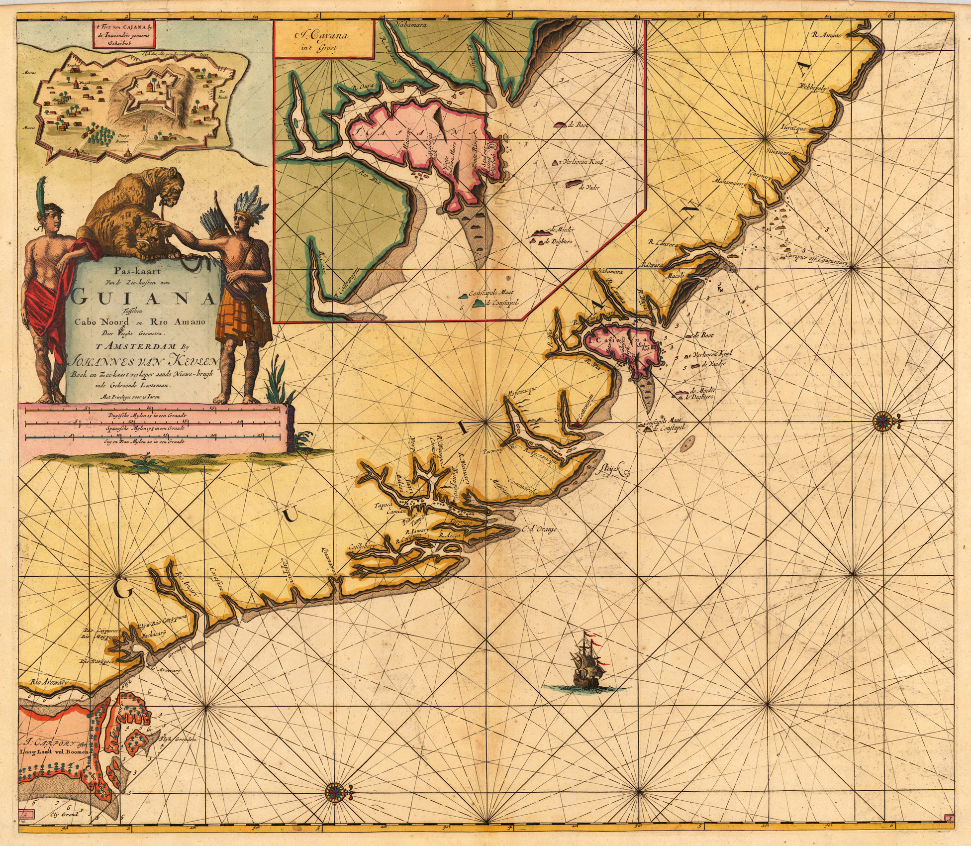
Original antique copper engraving, hand colored in outline and wash. Highly decorative sea chart of Guiana in South America. Many engraved place names along the coast line, also with engraved small islands, anchor places, marked water depths. The map is equipped with an inset map of the island Cayenne. The highly decorative title cartouche with a bird's eye view of the fortress of Cayenne; the title cartouche itself ornated with two Indians ´next to a pair of leopards. The Dutch firm and printing house van Keulen was one of the most important and leading publishers for sea charts during the ending 17th century. Their firm was leading in providing charts to the Dutch East India company also their charts relating to the Americas were of high importance. Most charts were highly accurate for that period and were as well nicely ornated with decorative allegoric cartouches. Johannes van Keulen (1654 in Deventer – 1715 in Amsterdam) was a 17th-century Dutch cartographer. He published the influential nautical atlas the Zee-Atlas and the pilot guide Zee-Fakkel (meaning Sea-Torch in English). In 1678 Johannes van Keulen established himself in Amsterdam and in 1680 he obtained a patent from the States of Holland and West Friesland allowing him to print and publish maritime atlases and shipping guides. These were books of maps and descriptions of itineraries, used by helmsmen for safe navigation. The patent was a kind of protection against illegal copying of produced books and charts. This was especially important for the atlases which were made with extensive initial costs. Van Keulen named his firm 'In de Gekroonde Lootsman' ('In the Crowned Pilot'). Soon Van Keulen struck a deal with cartographer Claes Jansz. Vooght. From 1681 onwards the Nieuwe Lichtende Zee-Fakkel appeared, a five-volume atlas for which Vooght compiled the maps[1] and which was illustrated by Jan Luyken. The five volume Zee-Fakkel made Johannes van Keulen famous. The Zee-Fakkel was published in 5 volumes between 1681 and 1684 containing over 130 new charts. (Wikipedia)
Original antique copper engraving, later hand colored. Johannes van Keulen (1654 in Deventer – 1715 in Amsterdam) was a 17th-century Dutch cartographer. He published the influential nautical atlas the Zee-Atlas and the pilot guide Zee-Fakkel (meaning Sea-Torch in English). In 1678 Johannes van Keulen established himself in Amsterdam and in 1680 he obtained a patent from the States of Holland and West Friesland allowing him to print and publish maritime atlases and shipping guides. These were books of maps and descriptions of itineraries, used by helmsmen for safe navigation. The patent was a kind of protection against illegal copying of produced books and charts. This was especially important for the atlases which were made with extensive initial costs. Van Keulen named his firm 'In de Gekroonde Lootsman' ('In the Crowned Pilot'). Soon Van Keulen struck a deal with cartographer Claes Jansz. Vooght. From 1681 onwards the Nieuwe Lichtende Zee-Fakkel appeared, a five-volume atlas for which Vooght compiled the maps[1] and which was illustrated by Jan Luyken. The five volume Zee-Fakkel made Johannes van Keulen famous. The Zee-Fakkel was published in 5 volumes between 1681 and 1684 containing over 130 new charts. (Wikipedia)
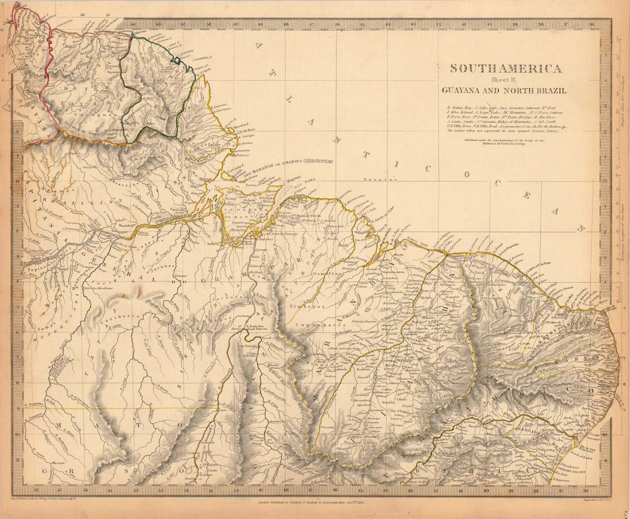
Steel engraving, hand colored in outline when published. This is a detailed map which shows Guyana and Northern Brazil in South America. The map is engraved with many small place names, rivers, etc. There are many regions engraved which are Parnambuco, Piauhy, Maranhao, Goya, Mato, English Guyana, etc.