
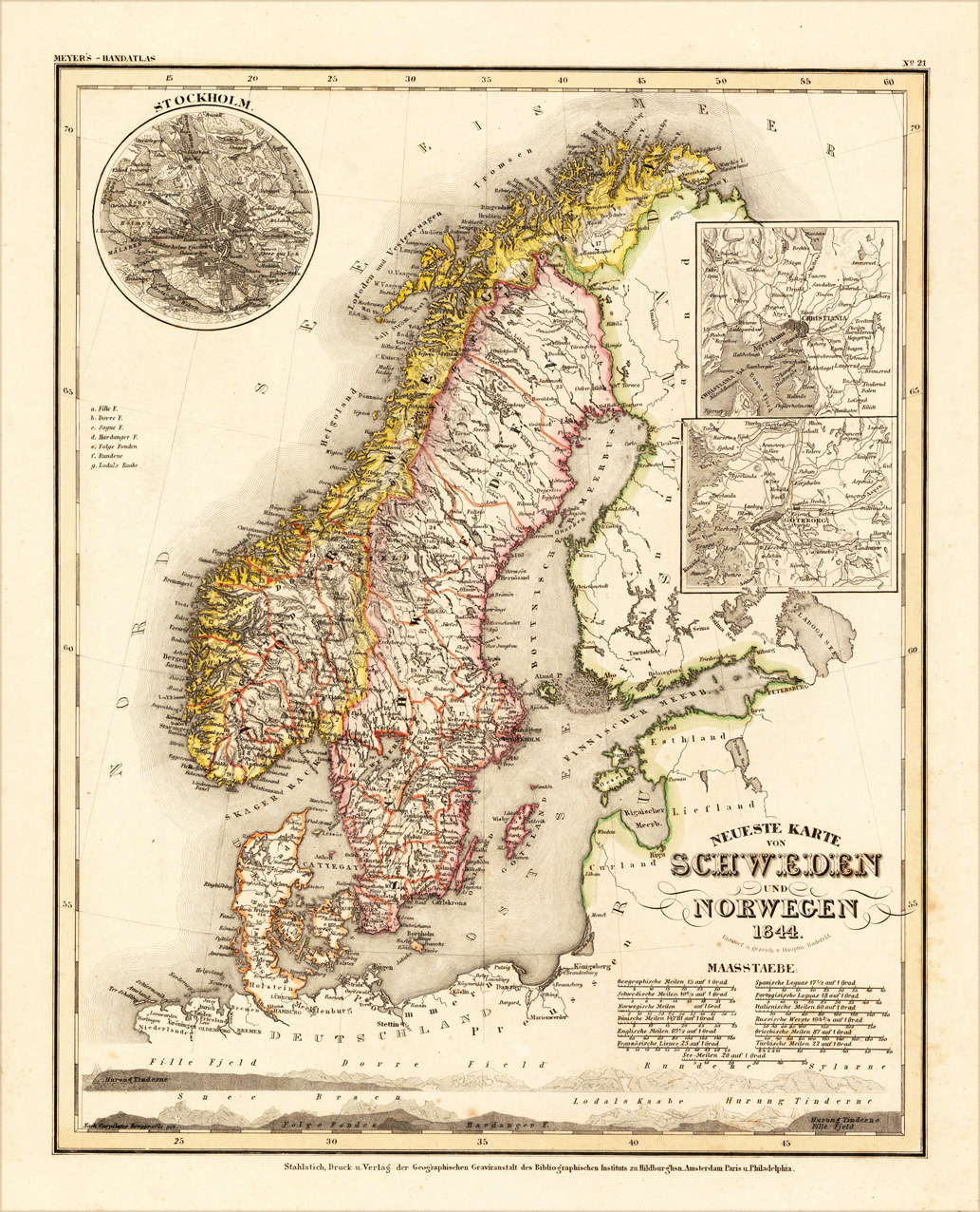
Neueste Karte von Schweden und Norwegen 1844 Entworf. u. gezeich. v. Hauptm. Radefeld.
Product information: Neueste Karte von Schweden und Norwegen 1844 Entworf. u. gezeich. v. Hauptm. Radefeld.
Original steel engraving engraved and drawn by Capt. Radefeld, published in Meyer's Handatlas, hand colored in outline when published. Decorative and detailed map of Sweden and Norway. In the upper left corner is a small inset map of Stockholm, as well two other inset maps with the surrounding of Christiania and Göteburg.
Properties
| Category: | Schweden and Norway |
|---|---|
| Issue date: | 1844. |
| Published place: | Hildburghausen |
| Publisher: | Meyers. |
| Technique: | Steel engraving, original color |
| Type: | Antique Map, map |