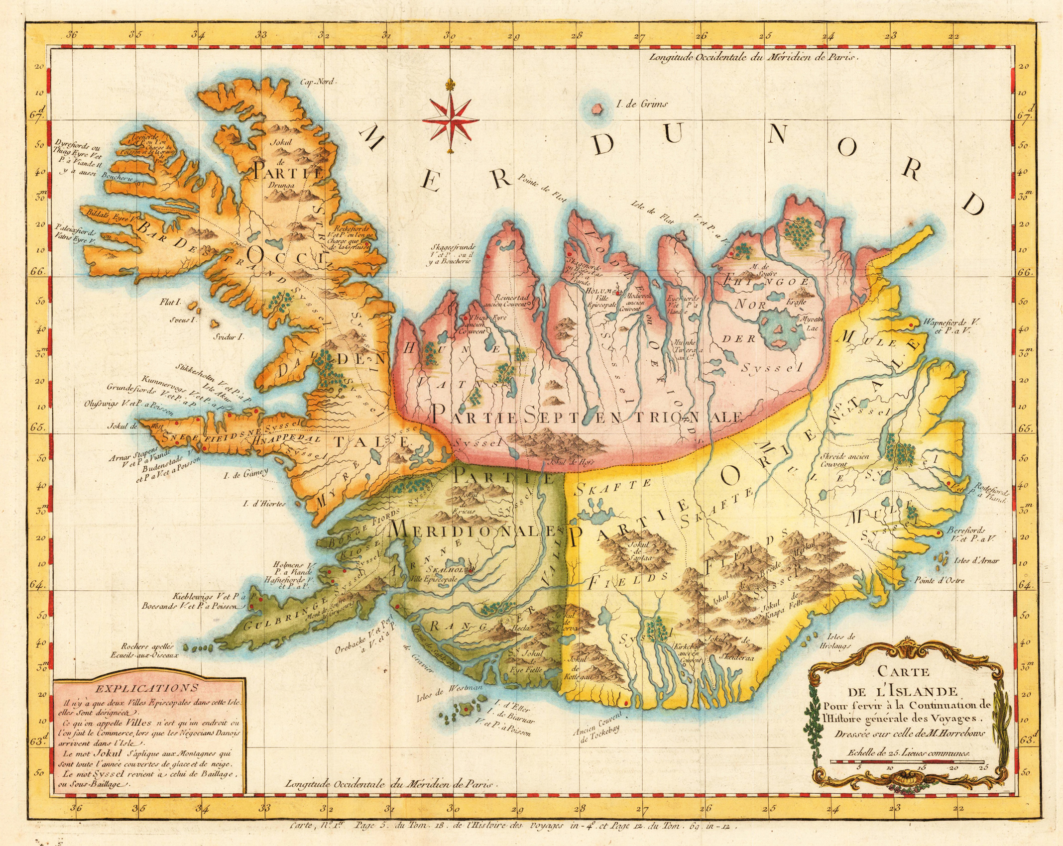
Copper engraving, hand colored. A decorative detailed antique map of Iceland published in Bellin's travel books around 1760. The interesting old map of Iceland with engraved mountains, rivers, lakes, vulcanos, very few engraved place names, further the names of the various syssels, which are a historical type of country subdivision in Iceland.
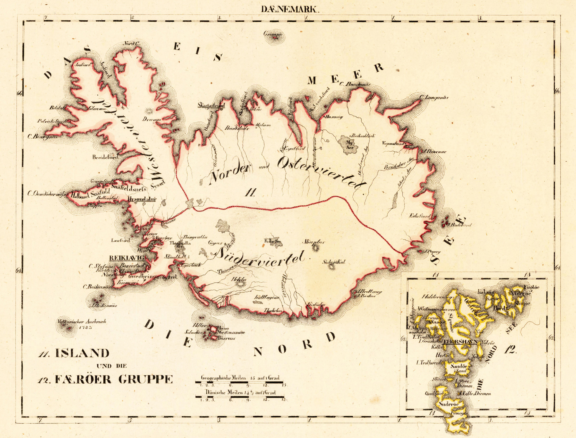
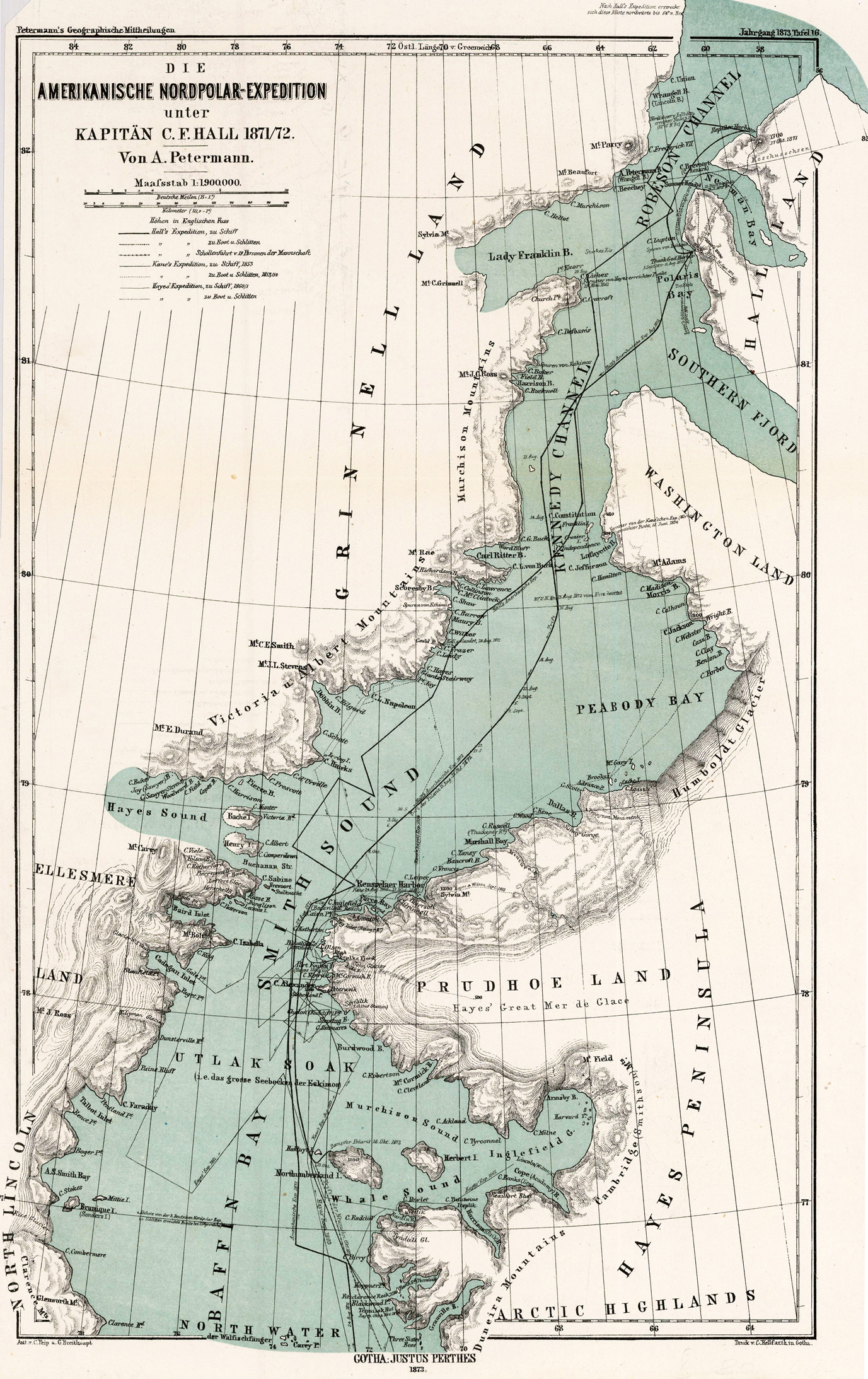
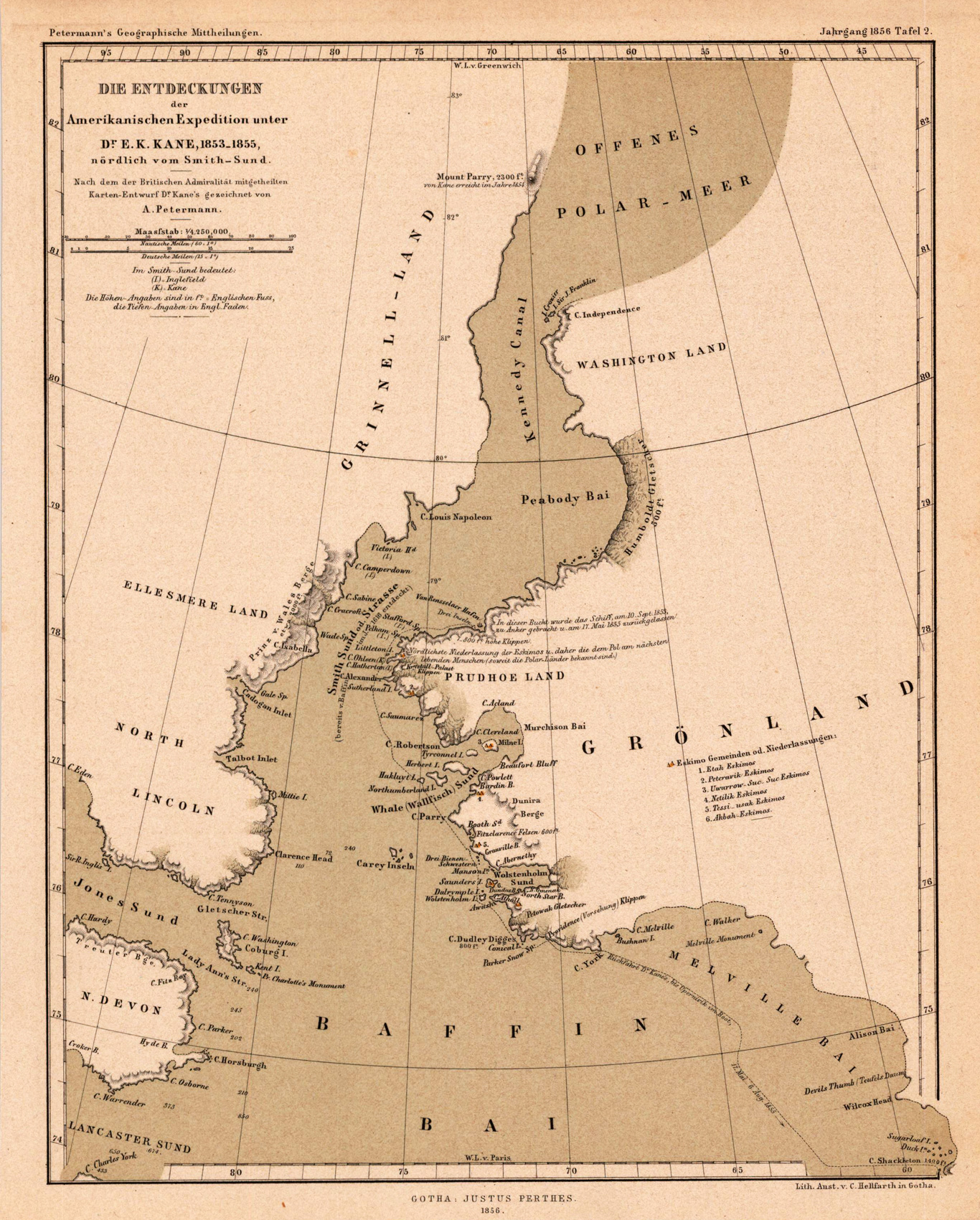
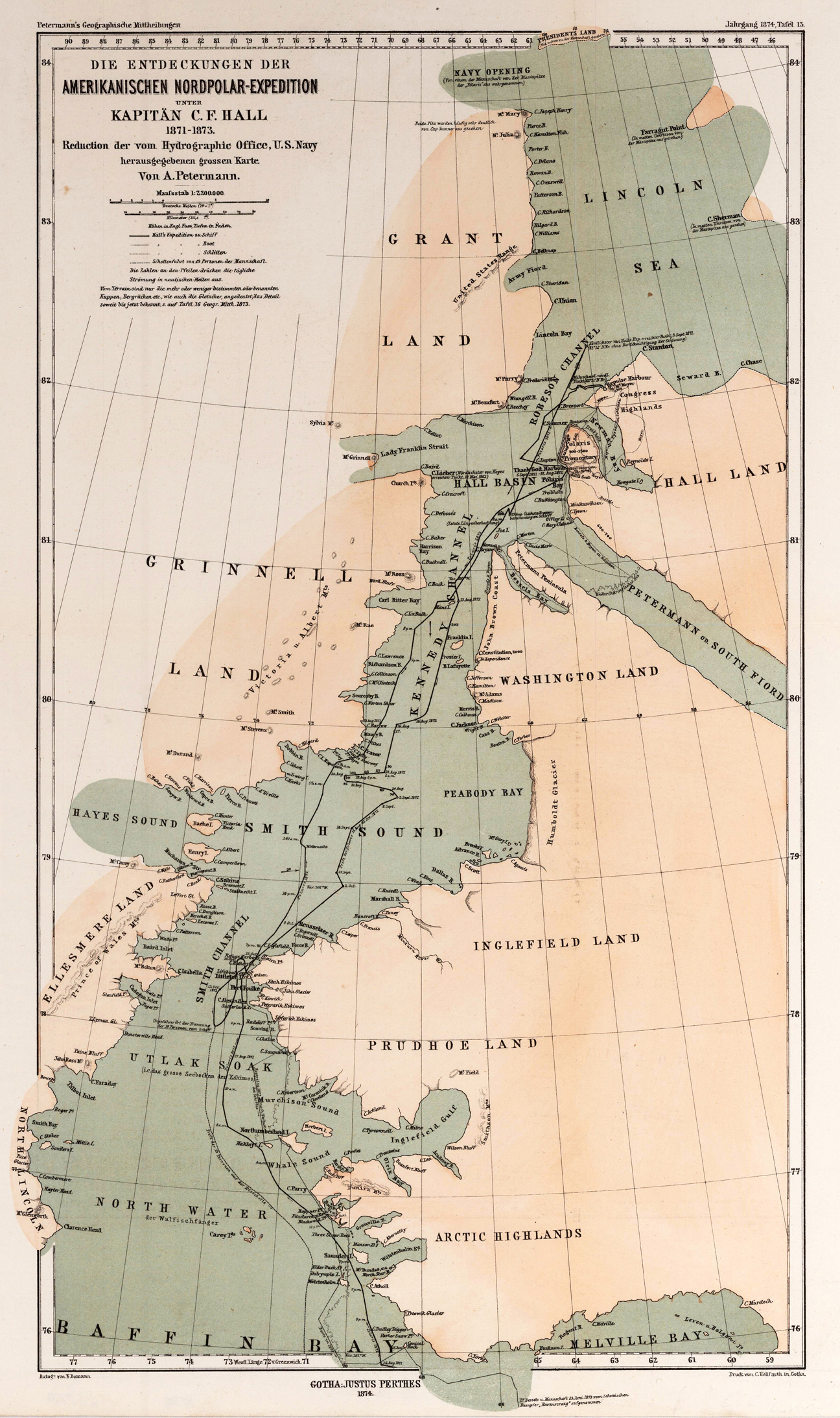
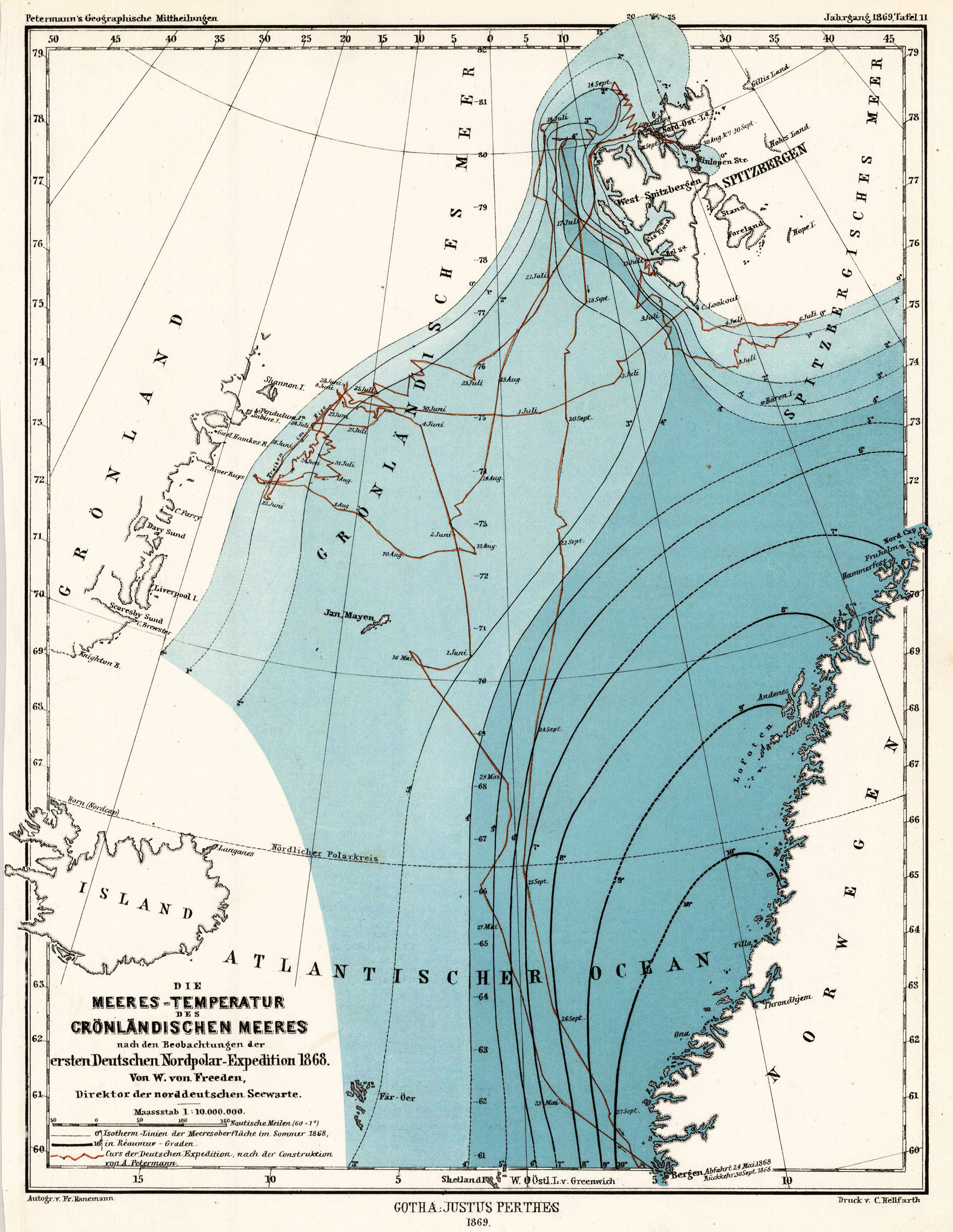
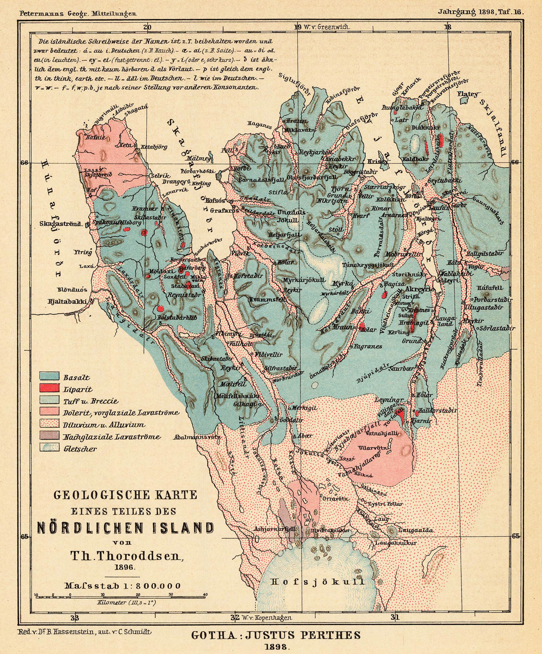
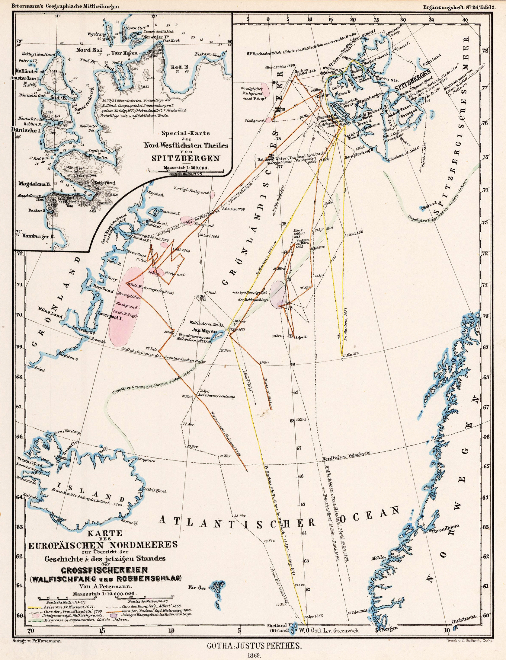
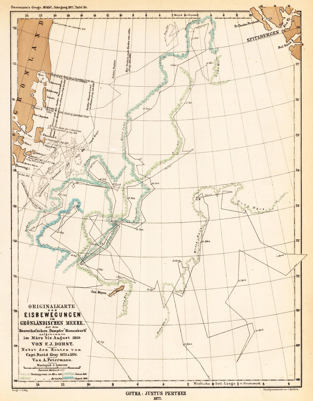
Lithograph, original color in outline and wash. August Heinrich Petermann (born April 18, 1822 in Bleicherode; † September 25, 1878 in Gotha (suicide)) was one of the most famous geographers and cartographers of the 19th century. August Petermann is considered an excellent, internationally highly respected cartographer. After his training in Potsdam he worked in Edinburgh with Alexander Keith Johnston with British scholars, navigators and explorers on the English edition of Berghaus' Physical Atlas. His maps of population density and the spread of cholera in England stand out from the London era, illustrating not only social aspects of infectious diseases in the early stages of their medical research. With them, Petermann joined the founding generation of thematic maps. With the maps for Petermanns Mitteilungen, such more topographical characters come to the fore. The publisher of the magazine benefited from innovations in card technology in Gotha: Bernhardt Perthes (1821–1857, grandson of the company founder) had developed an electro-chemical process for duplicating copperplate plates with electroplating, which drastically reduced the amount of work and time required allowed the production of map excerpts. Emil von Sydow had brought color lithography to production maturity in card manufacture, which also increased productivity and made it possible to use color on a broad scale for conveying information in cards. After more than a decade of practice, both card technologies had their teething problems and the combination of both techniques in card production behind them. With great organizational talent, Petermann turned this lead into a best seller. Since Petermann not only reconstructed the travel routes but also integrated them into maps, many authors saw this as a great advantage and turned to the communications for the purpose of implementation, which was usually done quickly and in an appealing quality. No magazine was published without a map insert, and 25 to 35 map inserts were published per year. The development effort for this was comparable to that for a school atlas. The synthetic approach in the presentation of the new discoveries sometimes brought hypothetical aspects with it, which led to annoyance or even controversy between the authors and the very self-confident editor. These maps were not only used for communications, they were also important sources for the three revised editions of Stieler's Hand-Atlas, in which Petermann played a decisive role. The redesign of the hand atlases is thanks to his influence. The scales were converted to the international metric system. In addition to the politico-geographical statements, physical-geographical statements such as the representation of deserts, periodically water-bearing rivers, numbers for sea depths, height numbers, names of peaks, etc. have been added to larger-scale additional maps for areas of high population density. With the growth of cities in the 19th century, the representation of places became more dense, and an objectified, leaner, but still legible font was developed for the increased names. In Hermann Berghaus and Carl Vogel (1828–1897), Petermann was assisted by outstanding cartographers, and Vogel in particular developed a significantly improved relief representation in hatches. The high content density and display quality repeatedly resulted in complaints about black copies. The development of the atlas maps in the division of labor between up to seven map processors, engravers, lithographers, printers and other workers required the development of a specific business organization. The changeover from the publishing system to the factory system, begun by publisher Bernhardt Perthes, also required Petermann's organizational talent after his early death. But experts at Gothaer Anstalt disagree with the view that Petermann had a managerial function. It cannot be overlooked that Petermann developed little sense for theoretical questions of cartography and he faced the upswing in the natural sciences of his time as an autodidact. (Wikipedia)
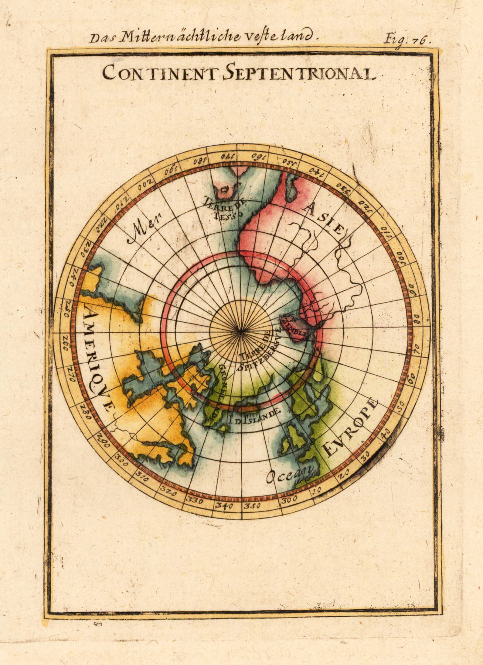
Copper engraving, hand colored in outline and wash. Small and decorative map showing the North Pol with Greenland and the neighboring continents America, Asia and Europe.
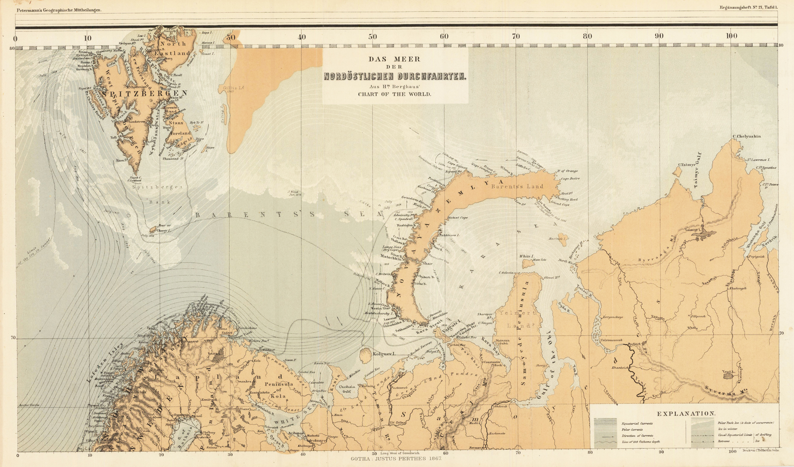
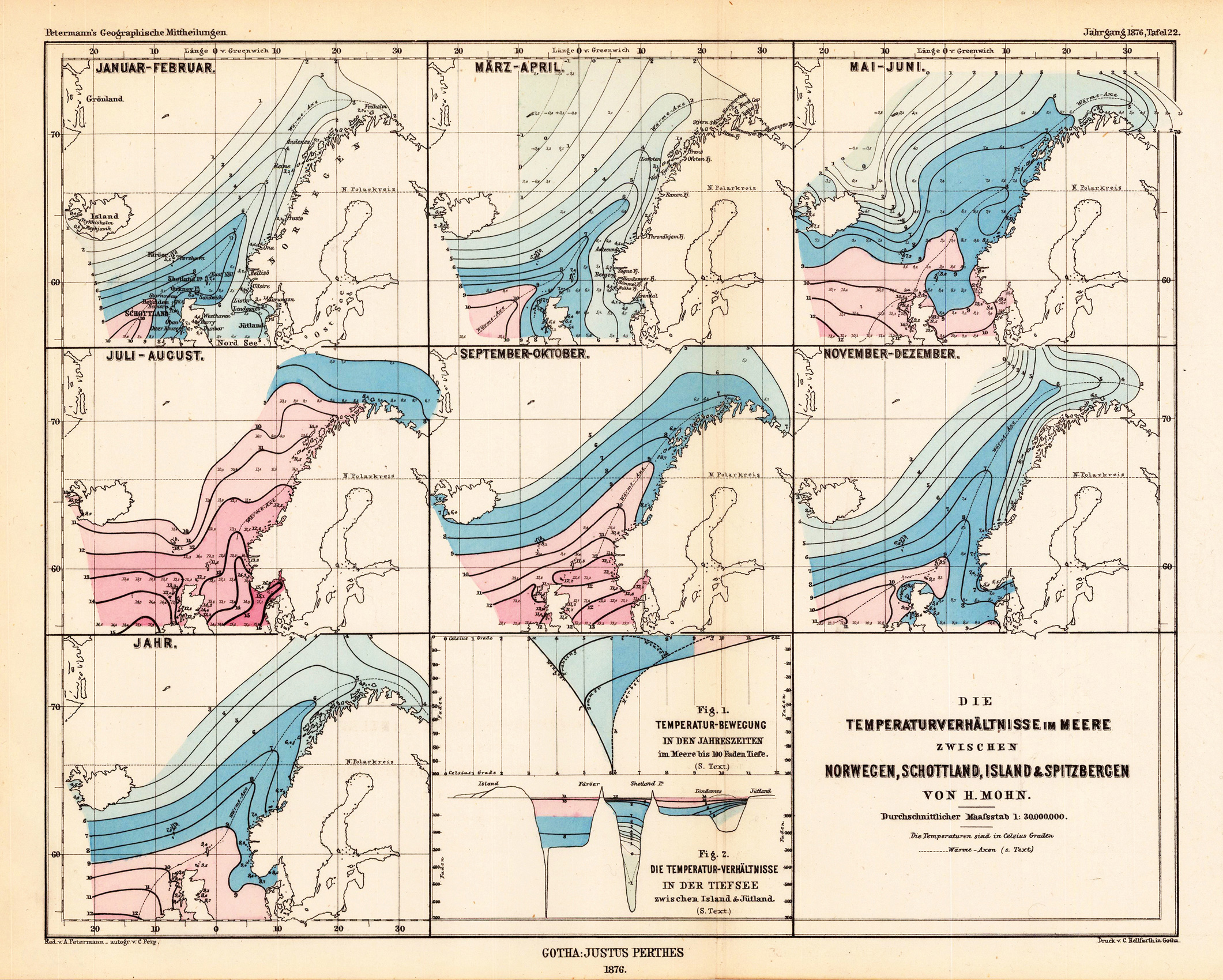
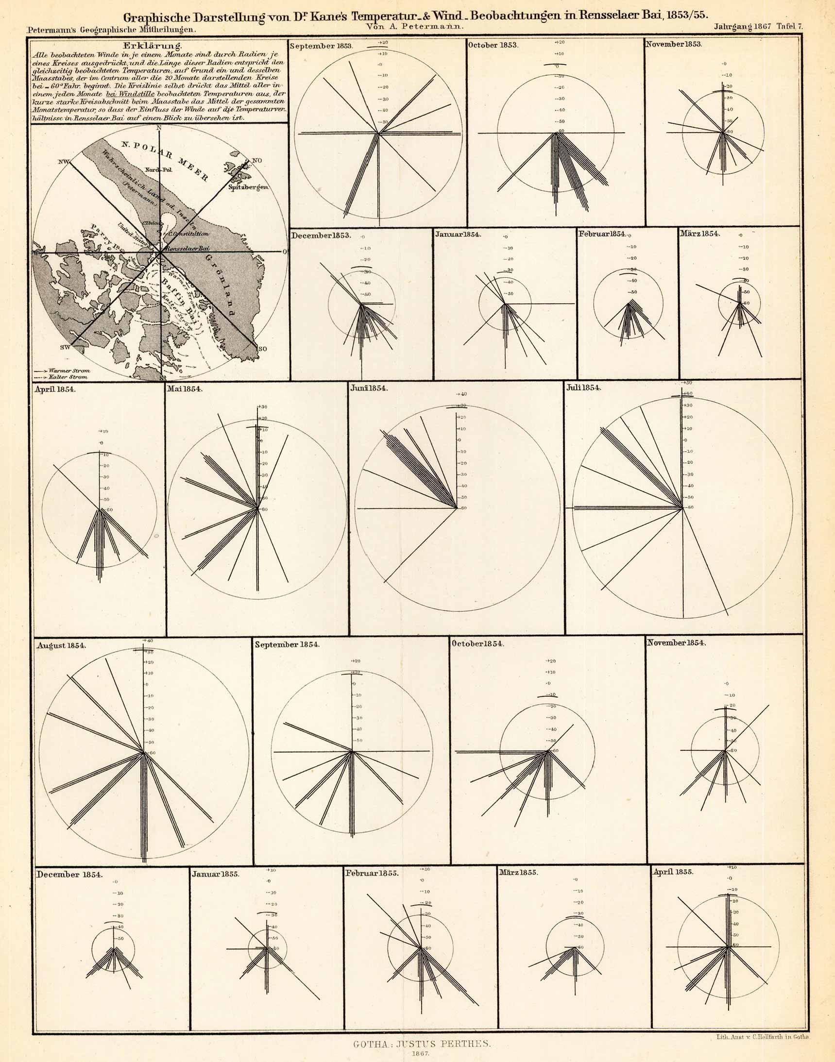
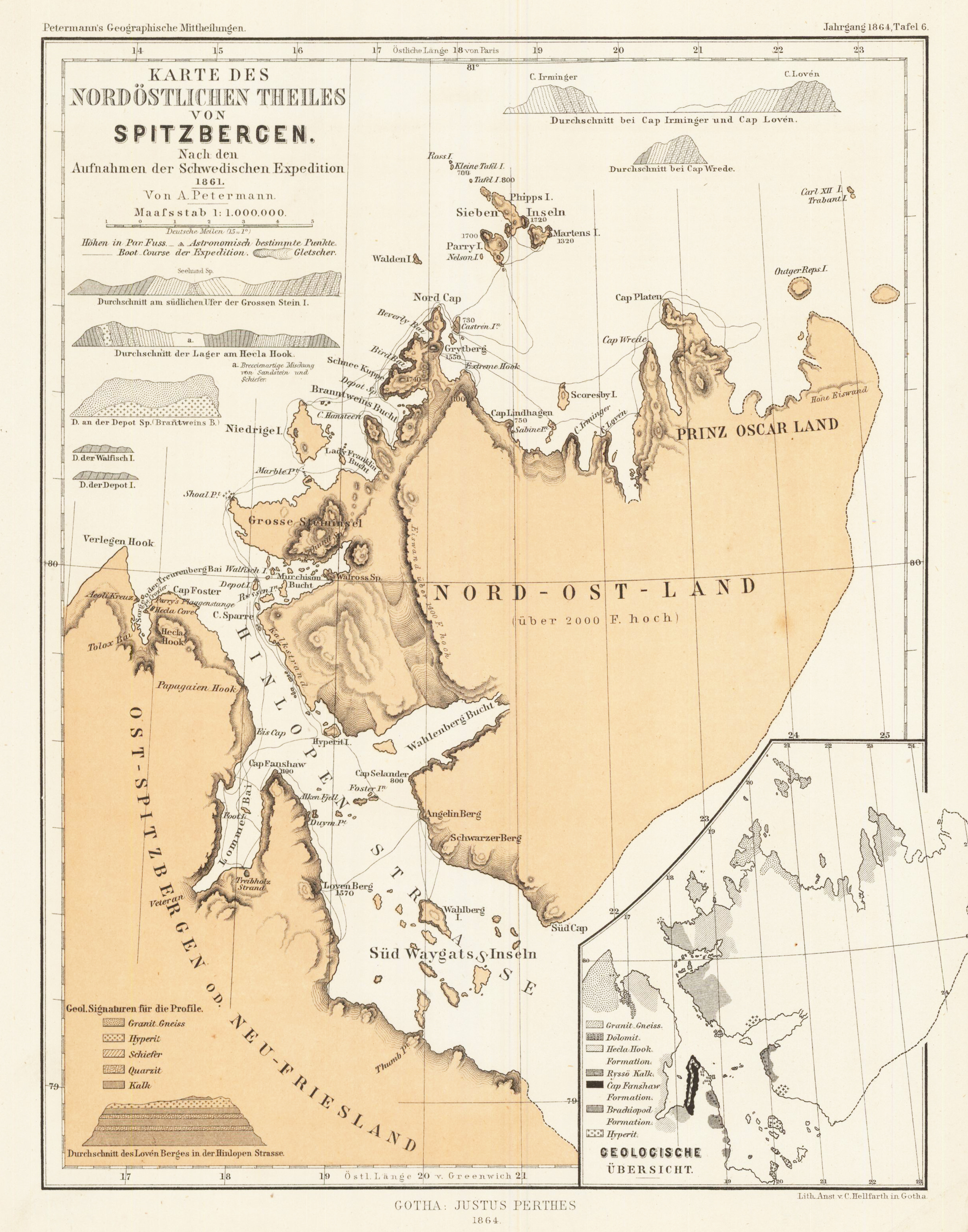
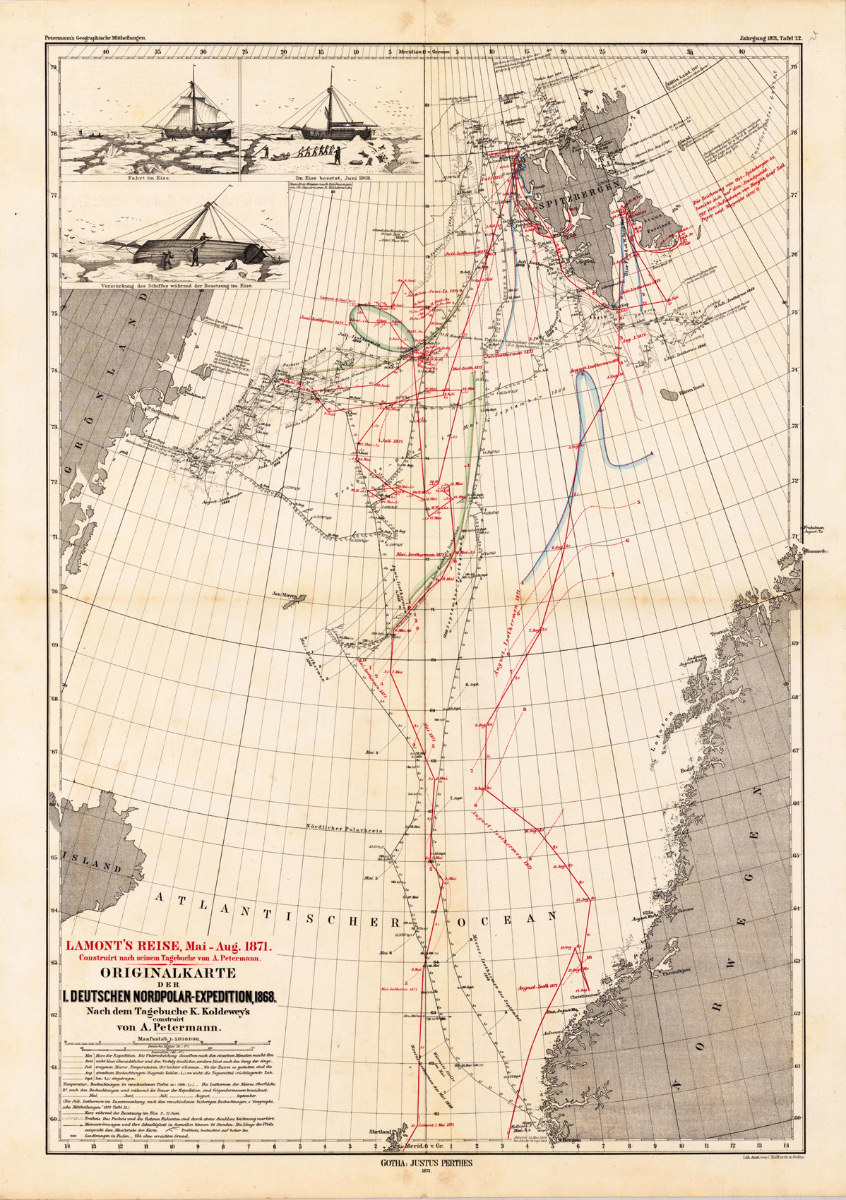
Lithograph, original color in outline and wash. August Heinrich Petermann (born April 18, 1822 in Bleicherode; † September 25, 1878 in Gotha (suicide)) was one of the most famous geographers and cartographers of the 19th century. August Petermann is considered an excellent, internationally highly respected cartographer. After his training in Potsdam he worked in Edinburgh with Alexander Keith Johnston with British scholars, navigators and explorers on the English edition of Berghaus' Physical Atlas. His maps of population density and the spread of cholera in England stand out from the London era, illustrating not only social aspects of infectious diseases in the early stages of their medical research. With them, Petermann joined the founding generation of thematic maps. With the maps for Petermanns Mitteilungen, such more topographical characters come to the fore. The publisher of the magazine benefited from innovations in card technology in Gotha: Bernhardt Perthes (1821–1857, grandson of the company founder) had developed an electro-chemical process for duplicating copperplate plates with electroplating, which drastically reduced the amount of work and time required allowed the production of map excerpts. Emil von Sydow had brought color lithography to production maturity in card manufacture, which also increased productivity and made it possible to use color on a broad scale for conveying information in cards. After more than a decade of practice, both card technologies had their teething problems and the combination of both techniques in card production behind them. With great organizational talent, Petermann turned this lead into a best seller. Since Petermann not only reconstructed the travel routes but also integrated them into maps, many authors saw this as a great advantage and turned to the communications for the purpose of implementation, which was usually done quickly and in an appealing quality. No magazine was published without a map insert, and 25 to 35 map inserts were published per year. The development effort for this was comparable to that for a school atlas. The synthetic approach in the presentation of the new discoveries sometimes brought hypothetical aspects with it, which led to annoyance or even controversy between the authors and the very self-confident editor. These maps were not only used for communications, they were also important sources for the three revised editions of Stieler's Hand-Atlas, in which Petermann played a decisive role. The redesign of the hand atlases is thanks to his influence. The scales were converted to the international metric system. In addition to the politico-geographical statements, physical-geographical statements such as the representation of deserts, periodically water-bearing rivers, numbers for sea depths, height numbers, names of peaks, etc. have been added to larger-scale additional maps for areas of high population density. With the growth of cities in the 19th century, the representation of places became more dense, and an objectified, leaner, but still legible font was developed for the increased names. In Hermann Berghaus and Carl Vogel (1828–1897), Petermann was assisted by outstanding cartographers, and Vogel in particular developed a significantly improved relief representation in hatches. The high content density and display quality repeatedly resulted in complaints about black copies. The development of the atlas maps in the division of labor between up to seven map processors, engravers, lithographers, printers and other workers required the development of a specific business organization. The changeover from the publishing system to the factory system, begun by publisher Bernhardt Perthes, also required Petermann's organizational talent after his early death. But experts at Gothaer Anstalt disagree with the view that Petermann had a managerial function. It cannot be overlooked that Petermann developed little sense for theoretical questions of cartography and he faced the upswing in the natural sciences of his time as an autodidact. (Wikipedia)
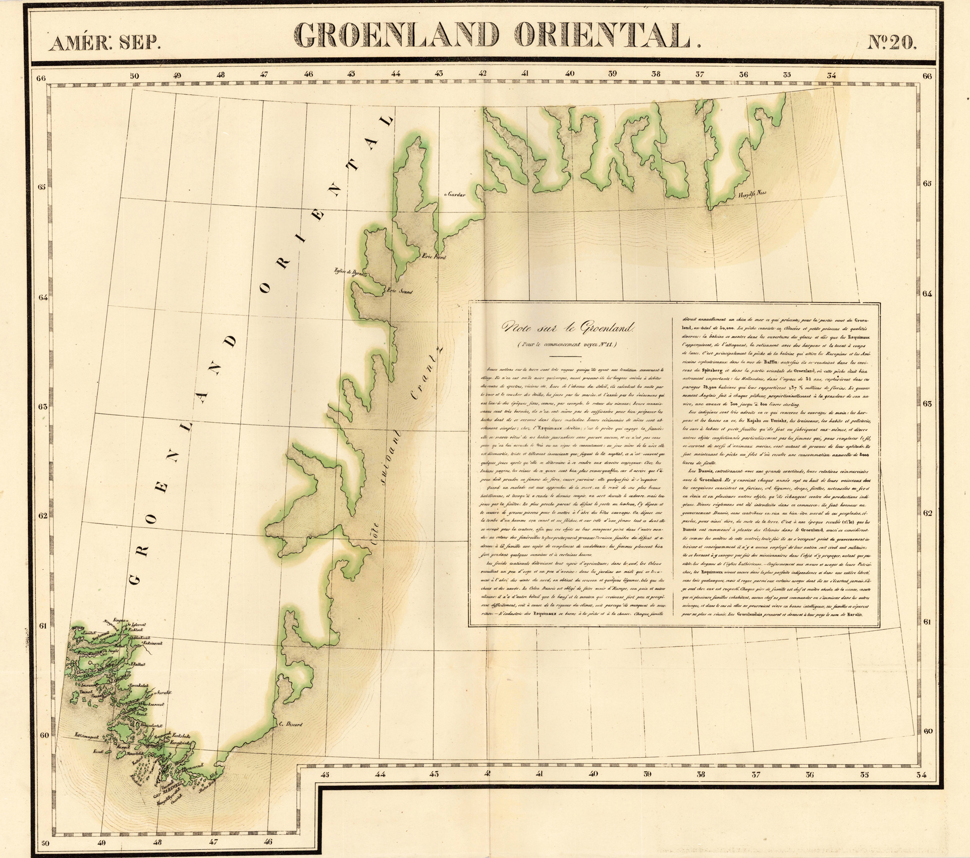
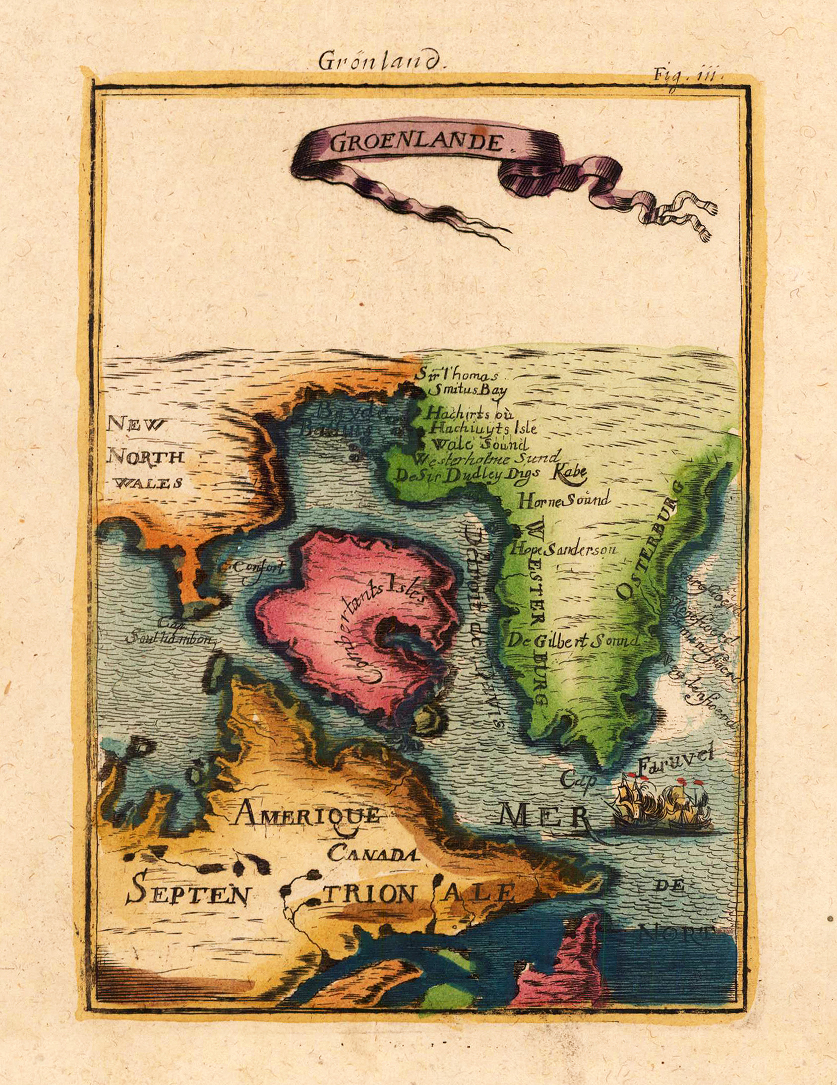
Lithograph, hand colored in outline when published. This antique map shows eastern Greenland in the North Atlantic Sea. Along the coast are many place names engraved. In the middle of the map we see a cartouche with a French text.
Original copper engraving, hand colored in wash and outline, when published. The Austrian cartographer Franz Joh. Josef von Reilly published around 1789 in Vienna a large amount of very detailed district maps of Central Europe. These maps are famous for their large scales and the many details they provide. Even tiny place names can be found on those maps, rivers, mountains, streets, monasteries are as well engraved. The maps, which Franz J. Reilly engraved, were especially designed for the Austrian Royal house and show countries, provinces and districts belonging to the 'Austrian-Hungarian Empire'.
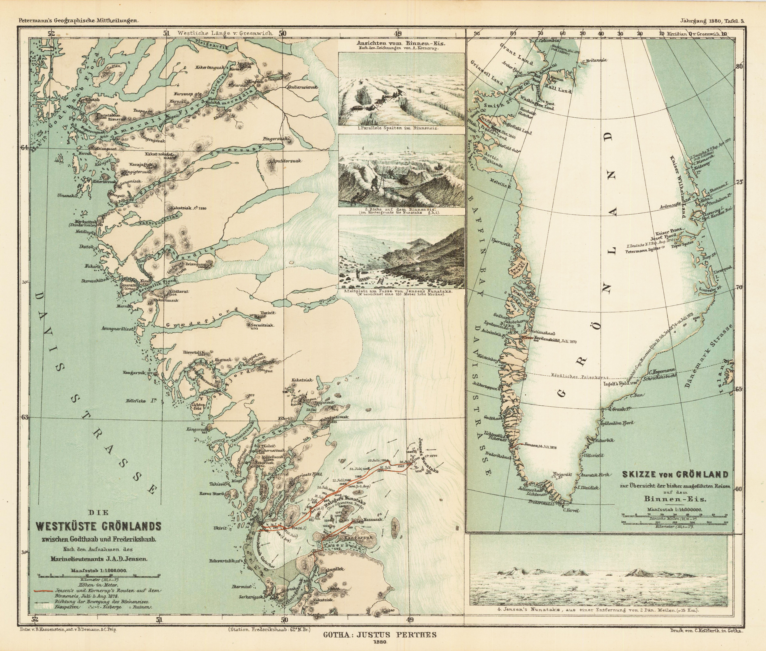
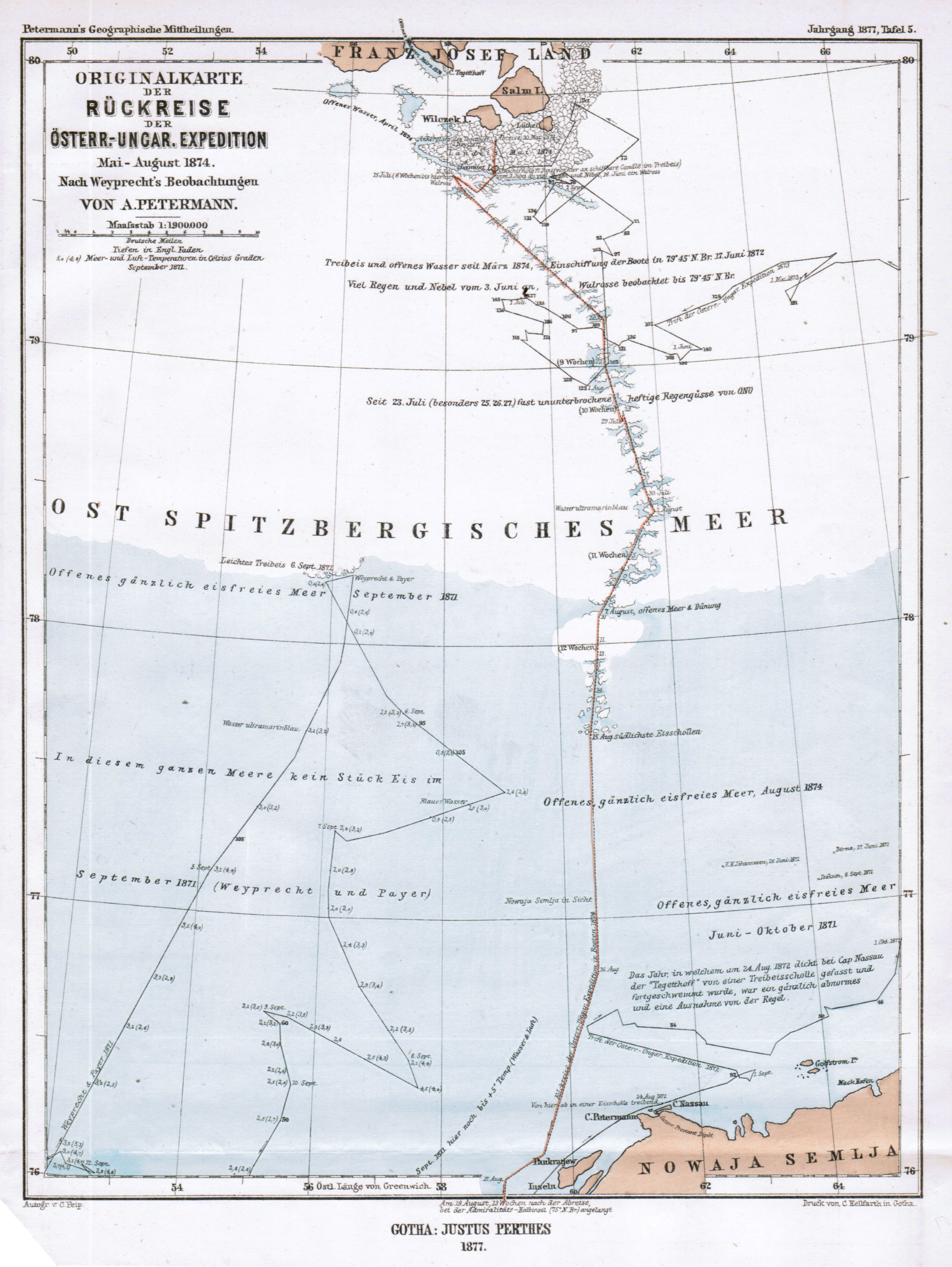
Lithograph, original color in outline and wash. August Heinrich Petermann (born April 18, 1822 in Bleicherode; † September 25, 1878 in Gotha (suicide)) was one of the most famous geographers and cartographers of the 19th century. August Petermann is considered an excellent, internationally highly respected cartographer. After his training in Potsdam he worked in Edinburgh with Alexander Keith Johnston with British scholars, navigators and explorers on the English edition of Berghaus' Physical Atlas. His maps of population density and the spread of cholera in England stand out from the London era, illustrating not only social aspects of infectious diseases in the early stages of their medical research. With them, Petermann joined the founding generation of thematic maps. With the maps for Petermanns Mitteilungen, such more topographical characters come to the fore. The publisher of the magazine benefited from innovations in card technology in Gotha: Bernhardt Perthes (1821–1857, grandson of the company founder) had developed an electro-chemical process for duplicating copperplate plates with electroplating, which drastically reduced the amount of work and time required allowed the production of map excerpts. Emil von Sydow had brought color lithography to production maturity in card manufacture, which also increased productivity and made it possible to use color on a broad scale for conveying information in cards. After more than a decade of practice, both card technologies had their teething problems and the combination of both techniques in card production behind them. With great organizational talent, Petermann turned this lead into a best seller. Since Petermann not only reconstructed the travel routes but also integrated them into maps, many authors saw this as a great advantage and turned to the communications for the purpose of implementation, which was usually done quickly and in an appealing quality. No magazine was published without a map insert, and 25 to 35 map inserts were published per year. The development effort for this was comparable to that for a school atlas. The synthetic approach in the presentation of the new discoveries sometimes brought hypothetical aspects with it, which led to annoyance or even controversy between the authors and the very self-confident editor. These maps were not only used for communications, they were also important sources for the three revised editions of Stieler's Hand-Atlas, in which Petermann played a decisive role. The redesign of the hand atlases is thanks to his influence. The scales were converted to the international metric system. In addition to the politico-geographical statements, physical-geographical statements such as the representation of deserts, periodically water-bearing rivers, numbers for sea depths, height numbers, names of peaks, etc. have been added to larger-scale additional maps for areas of high population density. With the growth of cities in the 19th century, the representation of places became more dense, and an objectified, leaner, but still legible font was developed for the increased names. In Hermann Berghaus and Carl Vogel (1828–1897), Petermann was assisted by outstanding cartographers, and Vogel in particular developed a significantly improved relief representation in hatches. The high content density and display quality repeatedly resulted in complaints about black copies. The development of the atlas maps in the division of labor between up to seven map processors, engravers, lithographers, printers and other workers required the development of a specific business organization. The changeover from the publishing system to the factory system, begun by publisher Bernhardt Perthes, also required Petermann's organizational talent after his early death. But experts at Gothaer Anstalt disagree with the view that Petermann had a managerial function. It cannot be overlooked that Petermann developed little sense for theoretical questions of cartography and he faced the upswing in the natural sciences of his time as an autodidact. (Wikipedia)
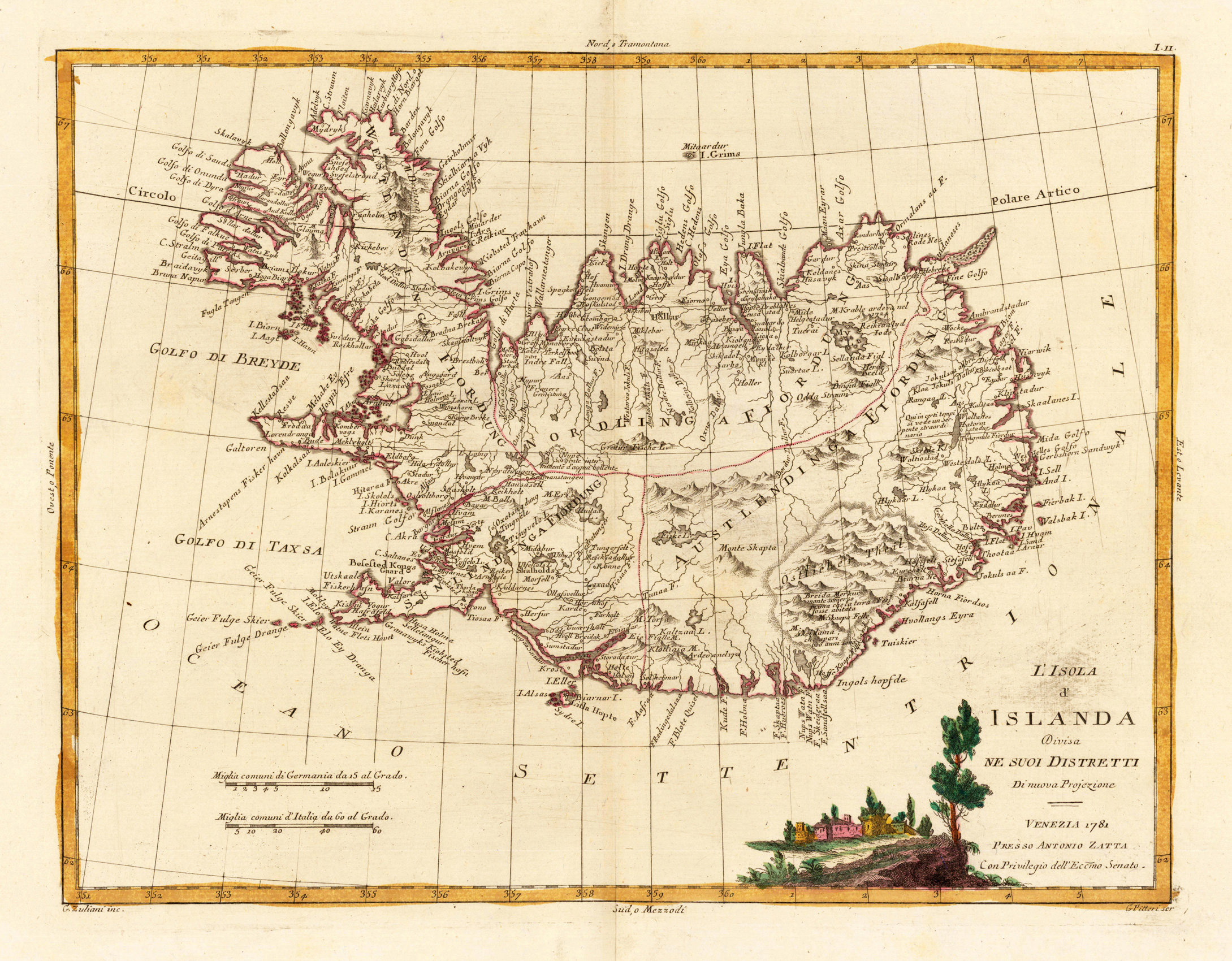
Copper engraving, in contemporary original color in outline. Published in Zatta's "Atlante Novissimo". Decorative map of Island by the famous late 18th century north-italian cartographer Antonio Zatta. With many names of villages, as well engraved mountains and rivers are showns. The handcolored engraved title cartouche ornated with a small landscape. A small milage scale.
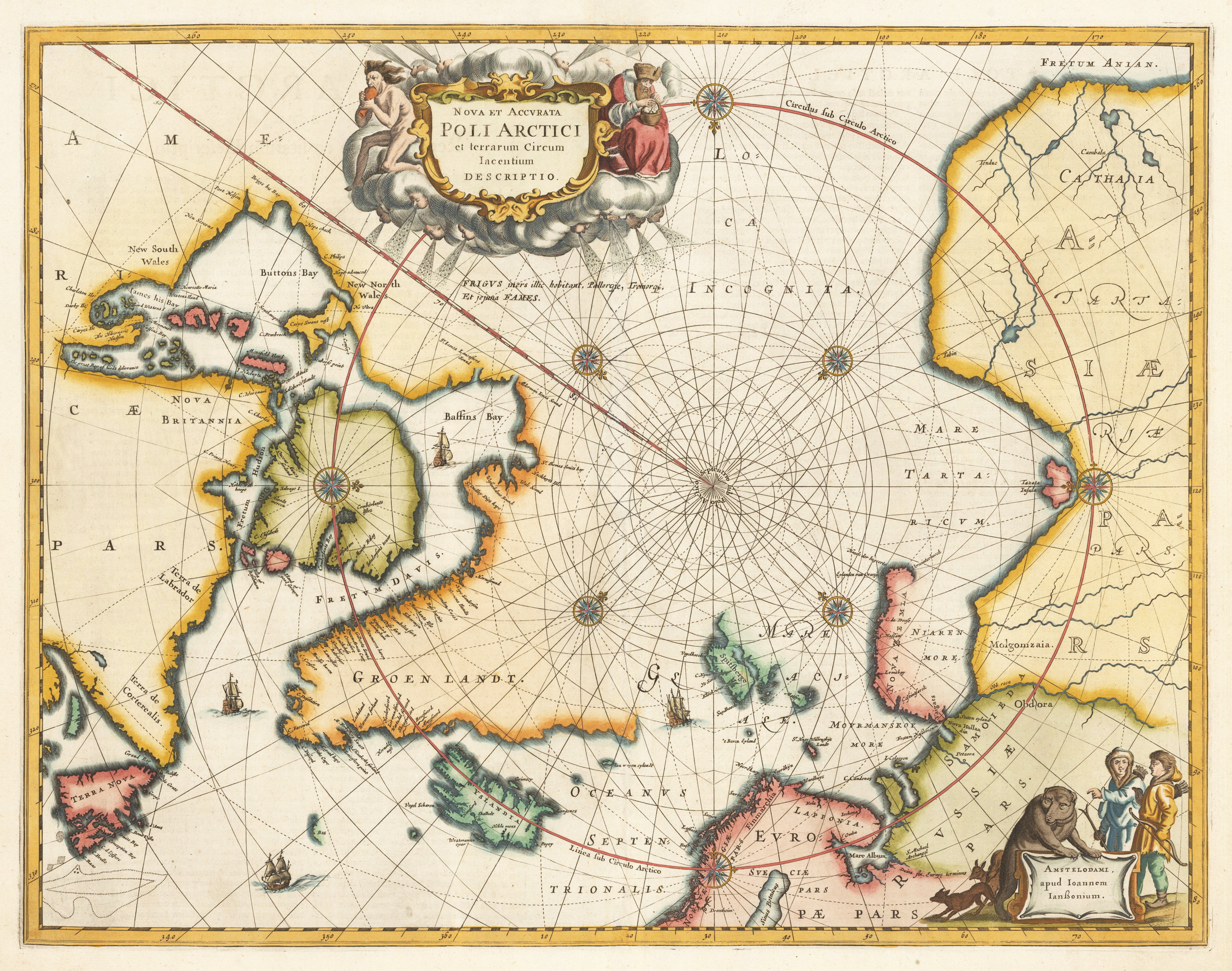
Copper engraving, finely later hand colored in wash and outline. A very good example of Jansson's map of the North Polar regions finely hand colored throughout. The decorative map ornated in the upper part with a large allegoric title cartouche and in the lower right corner with another decorative cartouche with inhabitants and animals. Published in Jansson's Atlas in 1659 (Latin text edition). This is according to Burden the 4th state with ,FRETUM ANIAN' added top right. ,GROEN LANDT' is named and ,AMERICA PARS' is placed in North America. This antique map depicts the North Polar regions, with Arctic North America, Iceland, Scandinavia and parts of northern Asia and Russia. The cartographic sources of this map are based on discoveries of Barentsz, Frobisher, Baffin and others.