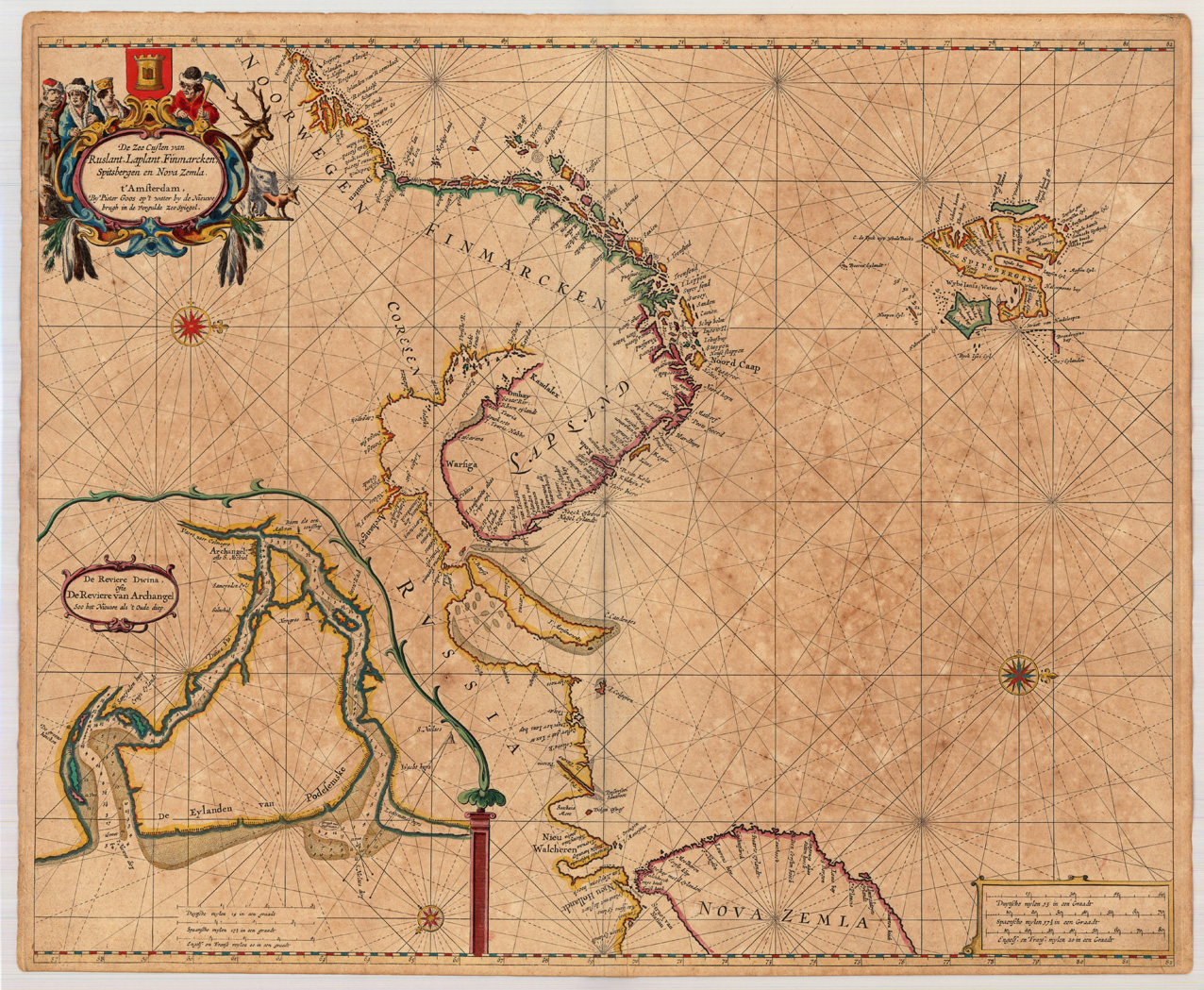
Copper engraving, finely hand colored in outline, when published. Partially heightened in gold. A highly decorative sea chart showing northern Scandinavia with the neighboring Russia and 'Nova Zemla'. Ornated in the upper left corner with a highly decorative finely hand colored title cartouche, in the lower left corner we do find an inset map of the river Dwina with Archangel. Pieter Goos was 'one of the best known maritime booksellers of Amsterdam' (Koeman), he published a number of different sea-atlases or pilot books, his work was very much derivative. With his 'Zee-Atlas' he relied heavily on Hendrick Doncker's 'Zee-Atlas' of 1659. Our example of Pieter Goos chart 'Die Zee Custen van Ruslant, Laplant, Finmarcken ...' was published in an early composit sea-atlas published probably around 1665/66. This map is printed on excellent thick double paper, it stands out through the highly decorative hand colors and the partially heightening of gold in title cartouches, mileage scales, compass roses or other places. P. Goos is well known for his quality of the engraving, as his father also was a skilled engraver, he always tried to produce visually appealing sea charts.
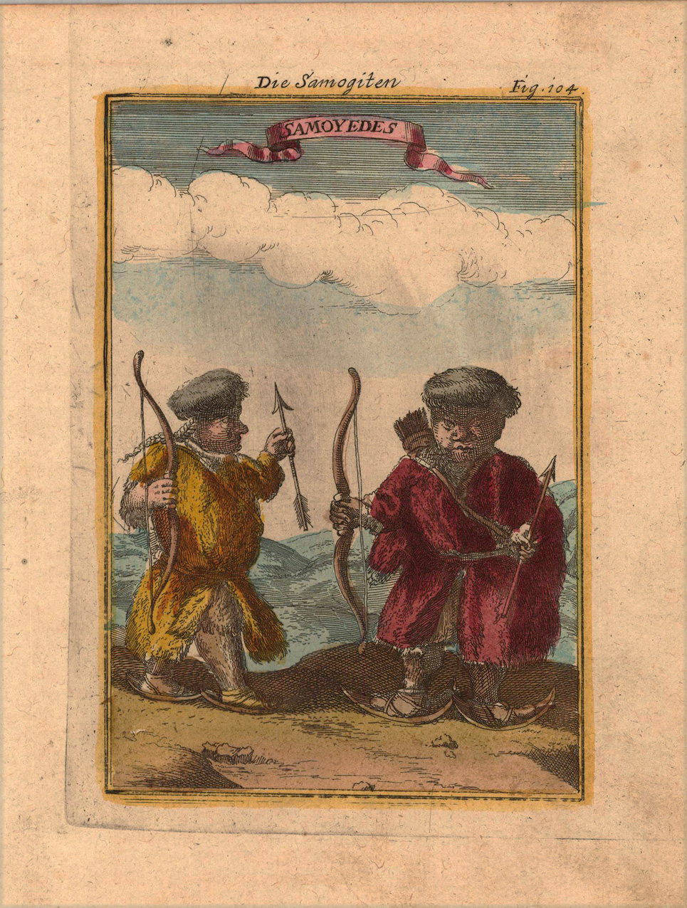
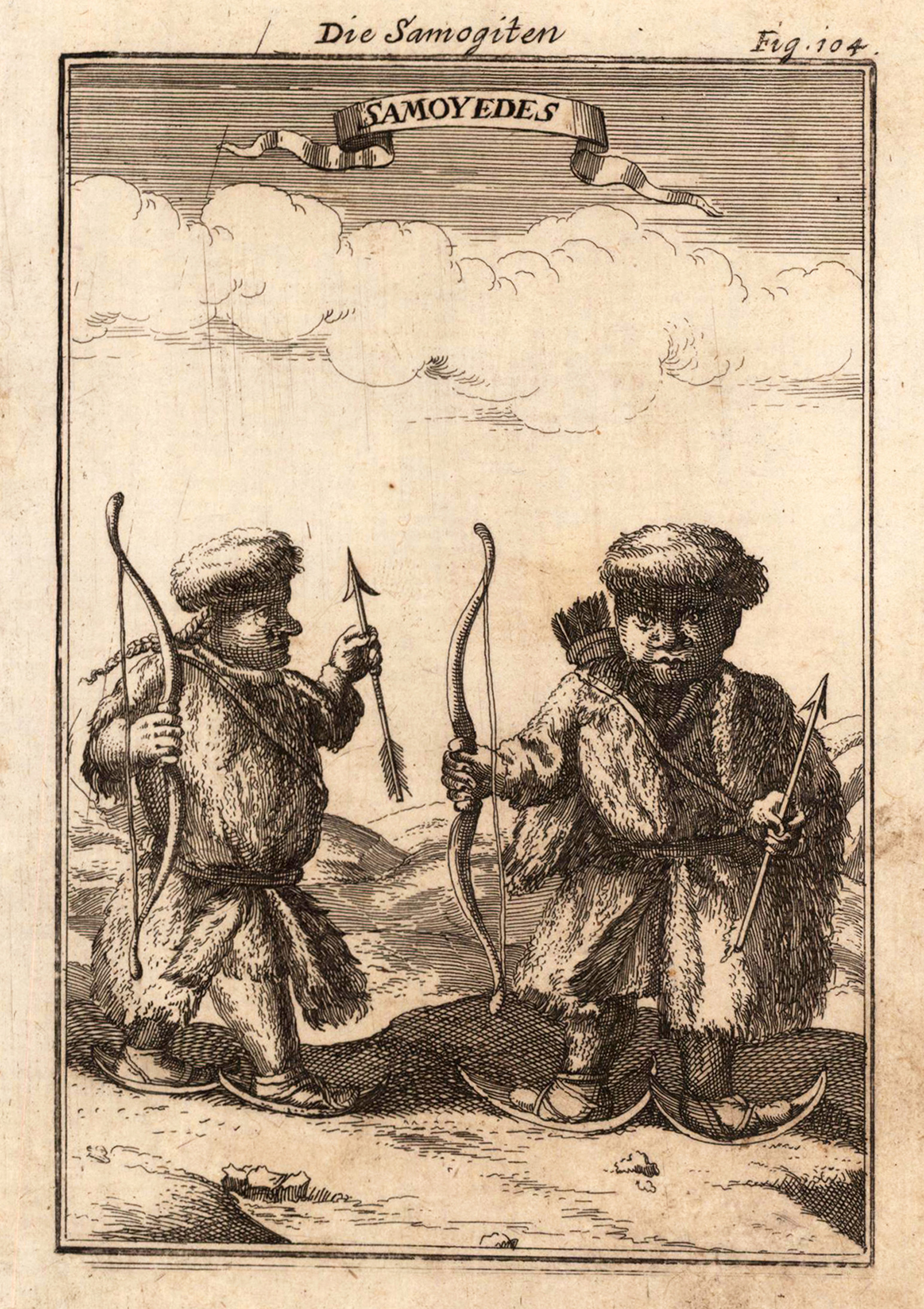
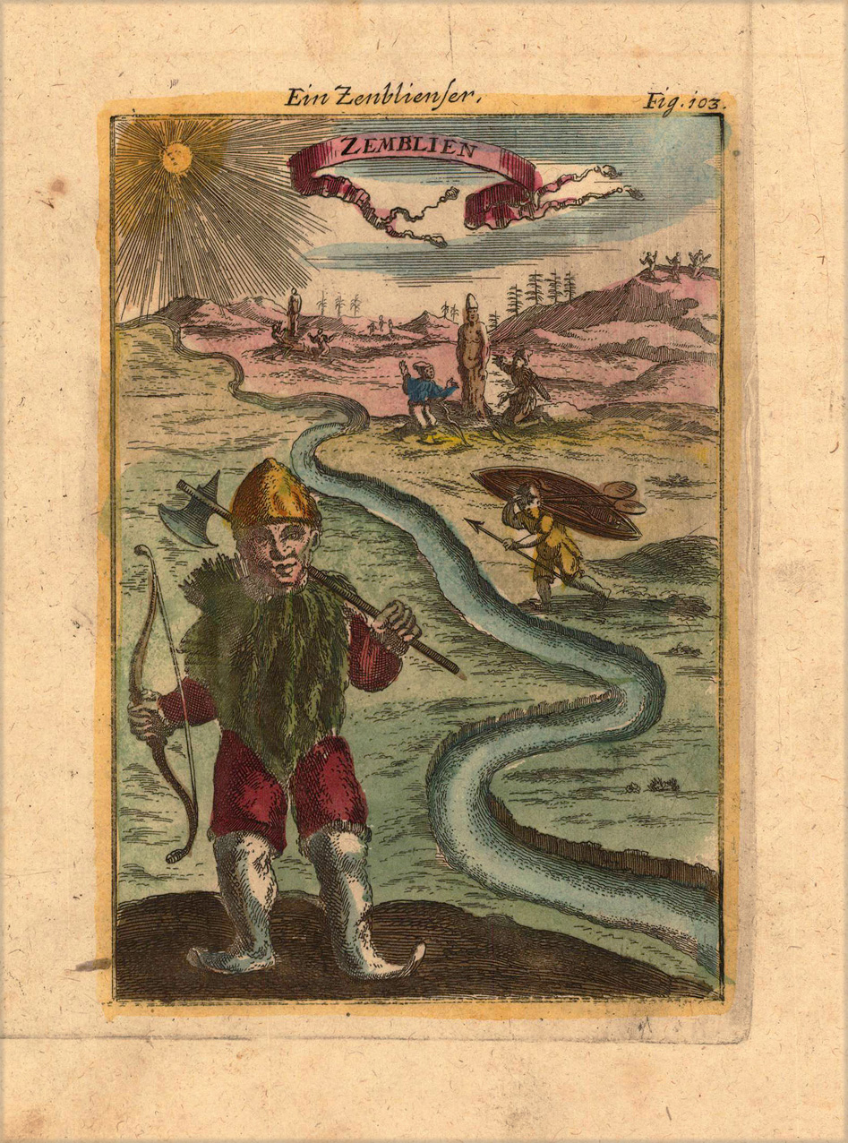
Copper-engraving, handcolored in wash and outline. Nice scene of a 'Zemlienser inhabitant' of Nova Zembla (near Lappland) in Northern Europe, equipped with their weapons for hunting.
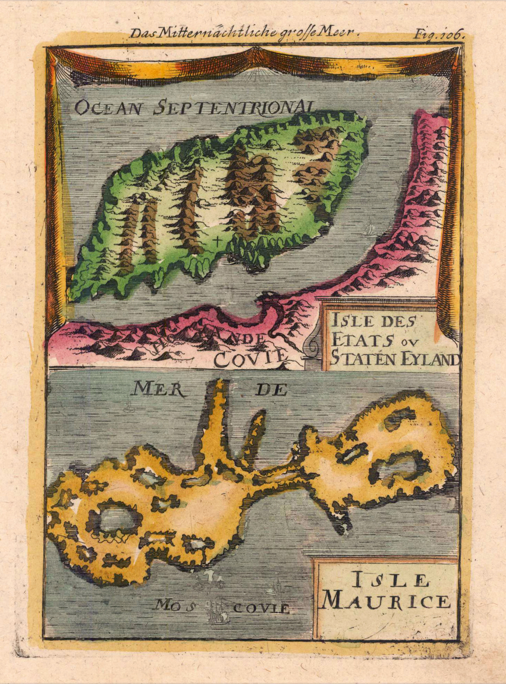
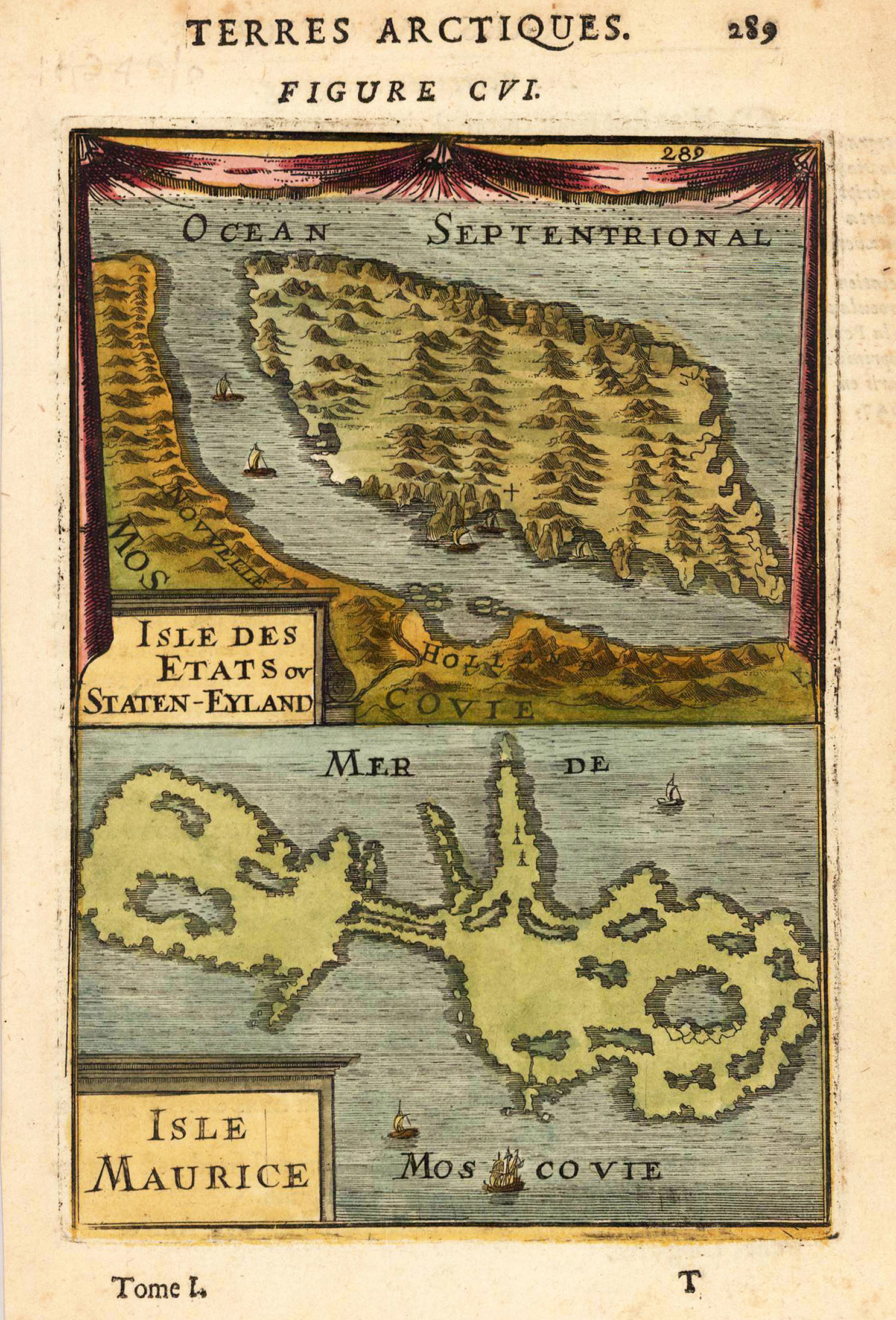
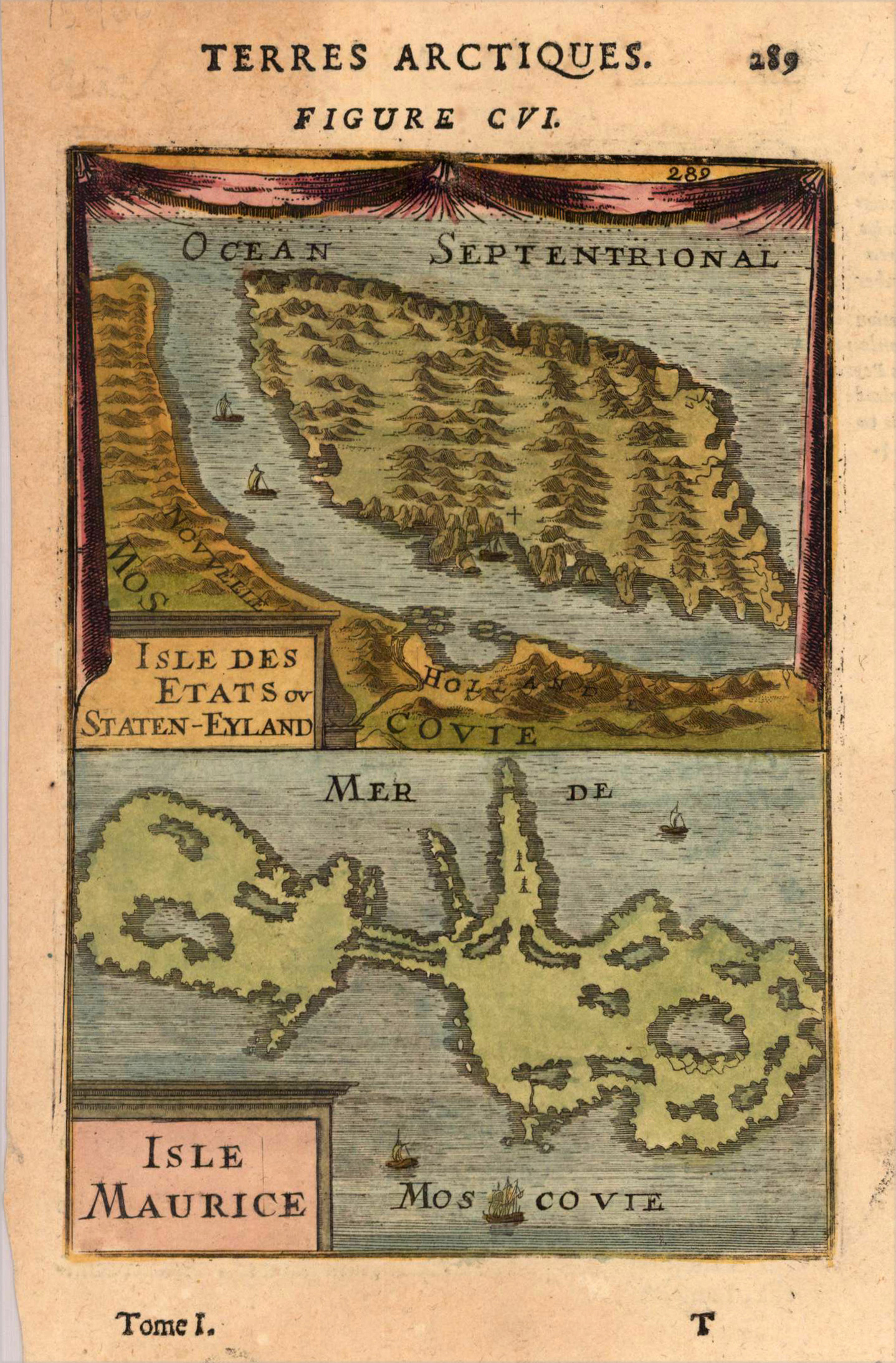
Copper engraving, hand colored in wash and outline, published in Allain Manesson Mallet's description of the world. Bird's eye view of Staten Island and the island of Maurice.