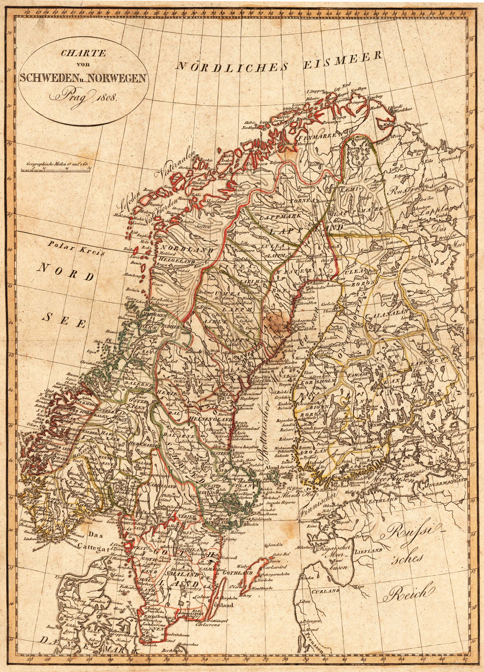
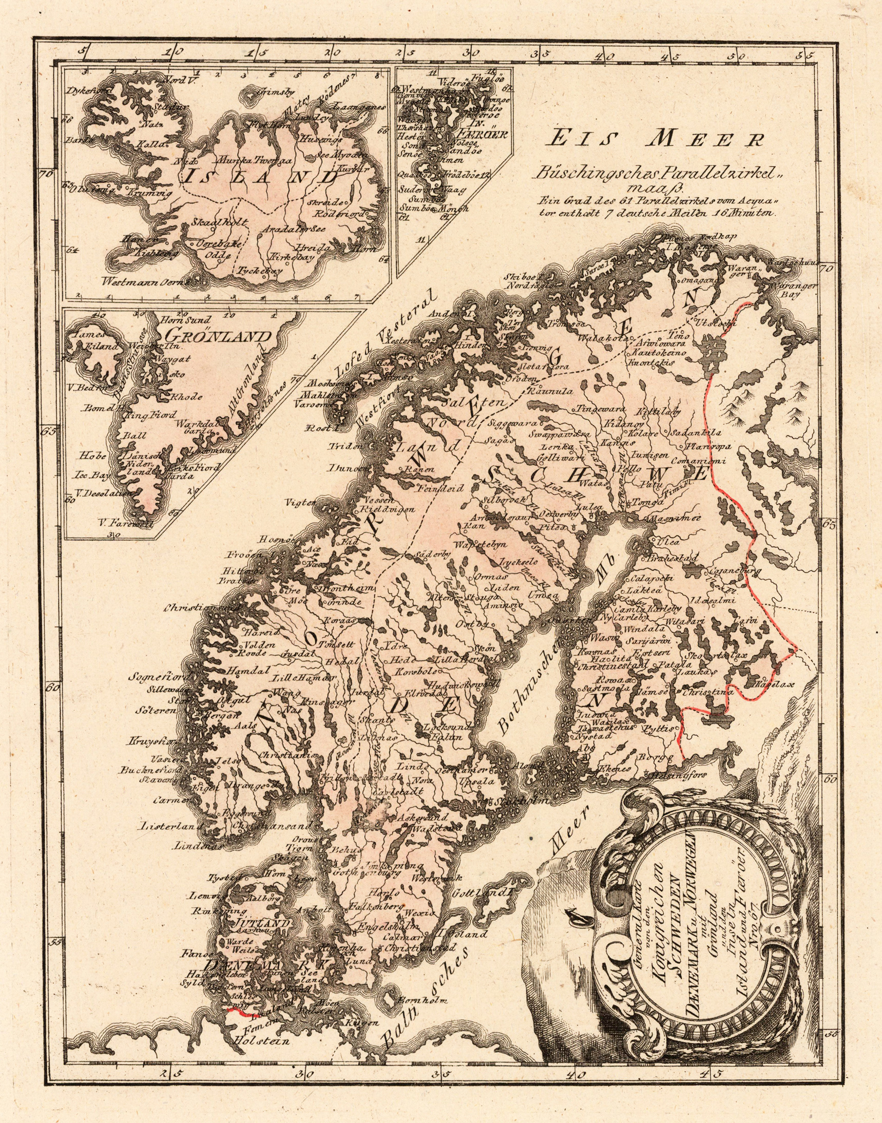
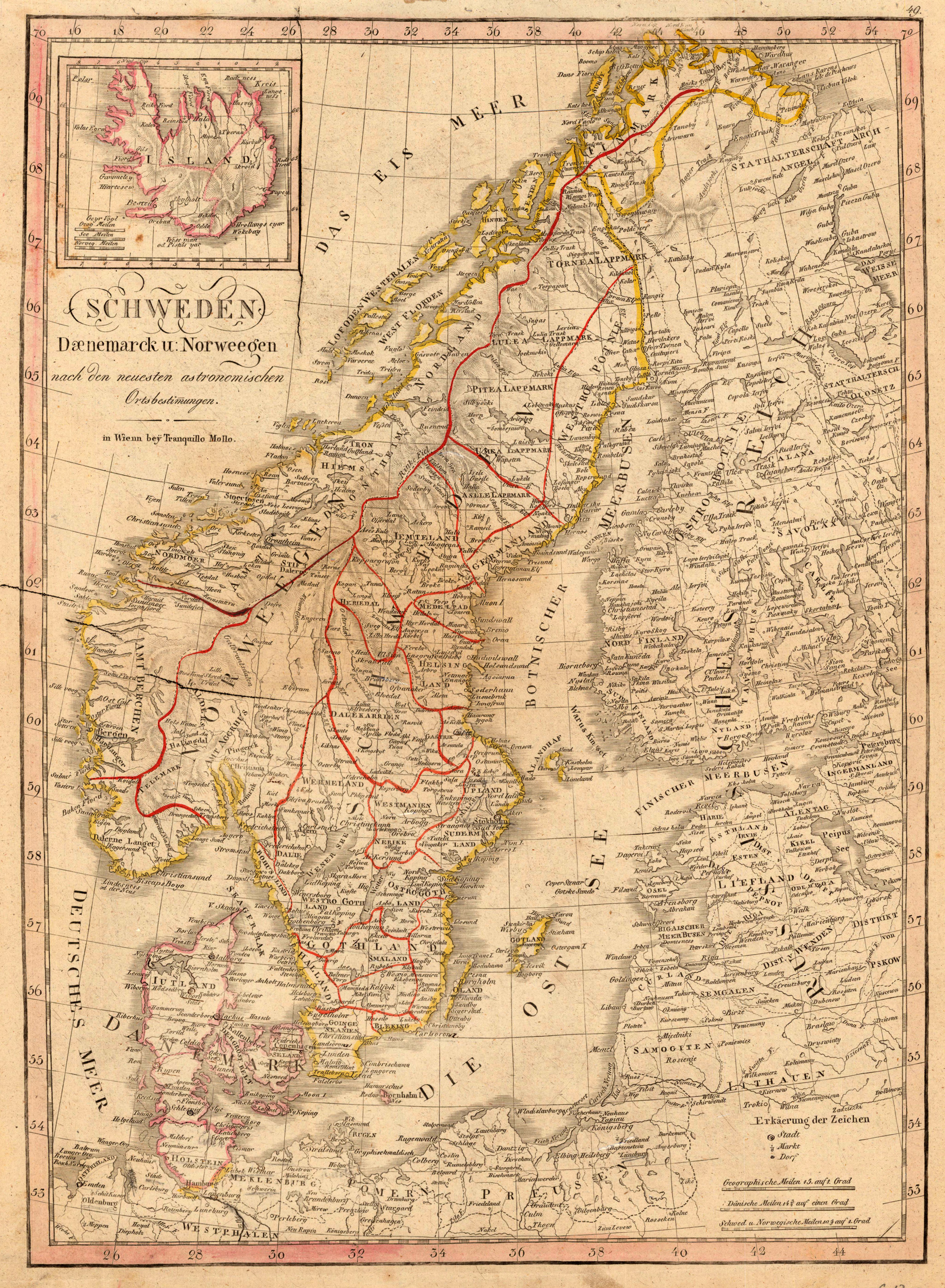
Original antique copper engraving, hand colored in outline and wash, when published. Die Landkarte zeigt Norwegen, Schweden, Finnmark, Lappland, Finnland, einen Teil von Dänemark und einen Teil vom Russischen Reich. Die ovale Kartusche ist oben links im Nördlichen Eismeer graviert. The map shows Norway, Sweden, Finnmark, Lapland, Finland, part of Denmark and part of the Russian Empire. The oval cartridge is engraved in the upper left of the Arctic Ocean. Tranquillo Maria Laurentio Mollo (August 10, 1767 - March 29, 1837) was Vienna based Swiss/Italian graphic designer, printer, art and music dealer, and publisher active in the late 18th and early 20th centuries. From about 1792 Mollo worked with the Vienna firm Artaria and Company. In 1798 he separated from Artaria to found, along with partner Franz Bernardini, his own music, art, and map publishing company, T. Mollo and Co. The partner collapsed after one year and Mollo took a new partner, Domenico Artaria, a scion of the Artaria family. In 1802 Mollo and Domenico acquired Artaria and Company from Carlo Artaria. Domenico and Mollo parted ways in 1804, after which Mollo published independently. Under his own imprint, he became one of Austria's most important globe and map publishers. He collaborated extensively with English and French publishers to bring French material to his work. Among his more significant collaborators was the Vienna publisher Joseph Dirwaldt. In 1832 Mollo passed the company to his sons, Eduard (1799-1842) and Florian Mollo (1803-1869). The Mollo brothers ran the business until 1839, three years after Tranquillo Mollo's death, before dividing the concern into separate business. Mollo married Dorothea Defelavis († 29. Juli 1822). (Wikipedia)
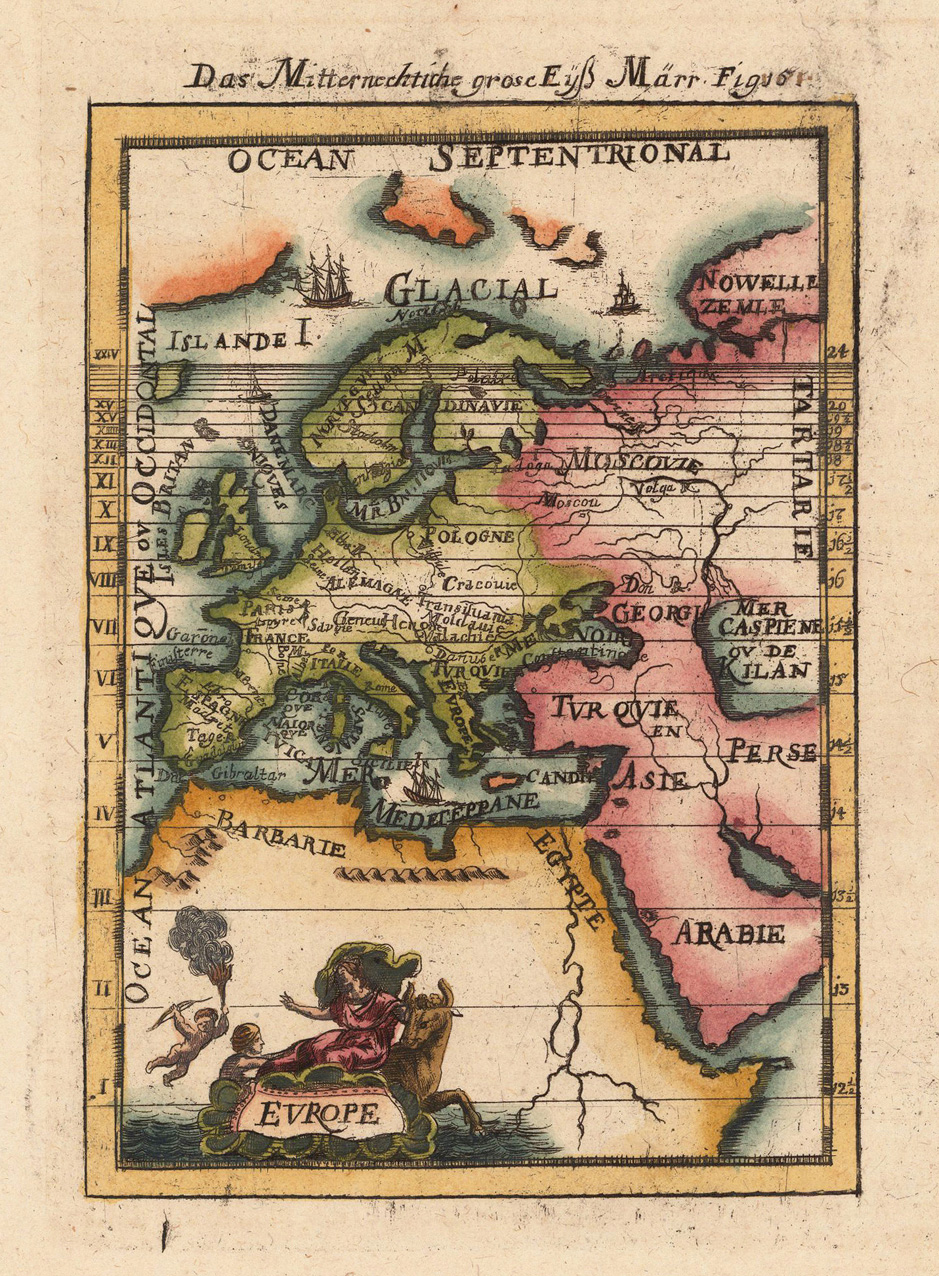
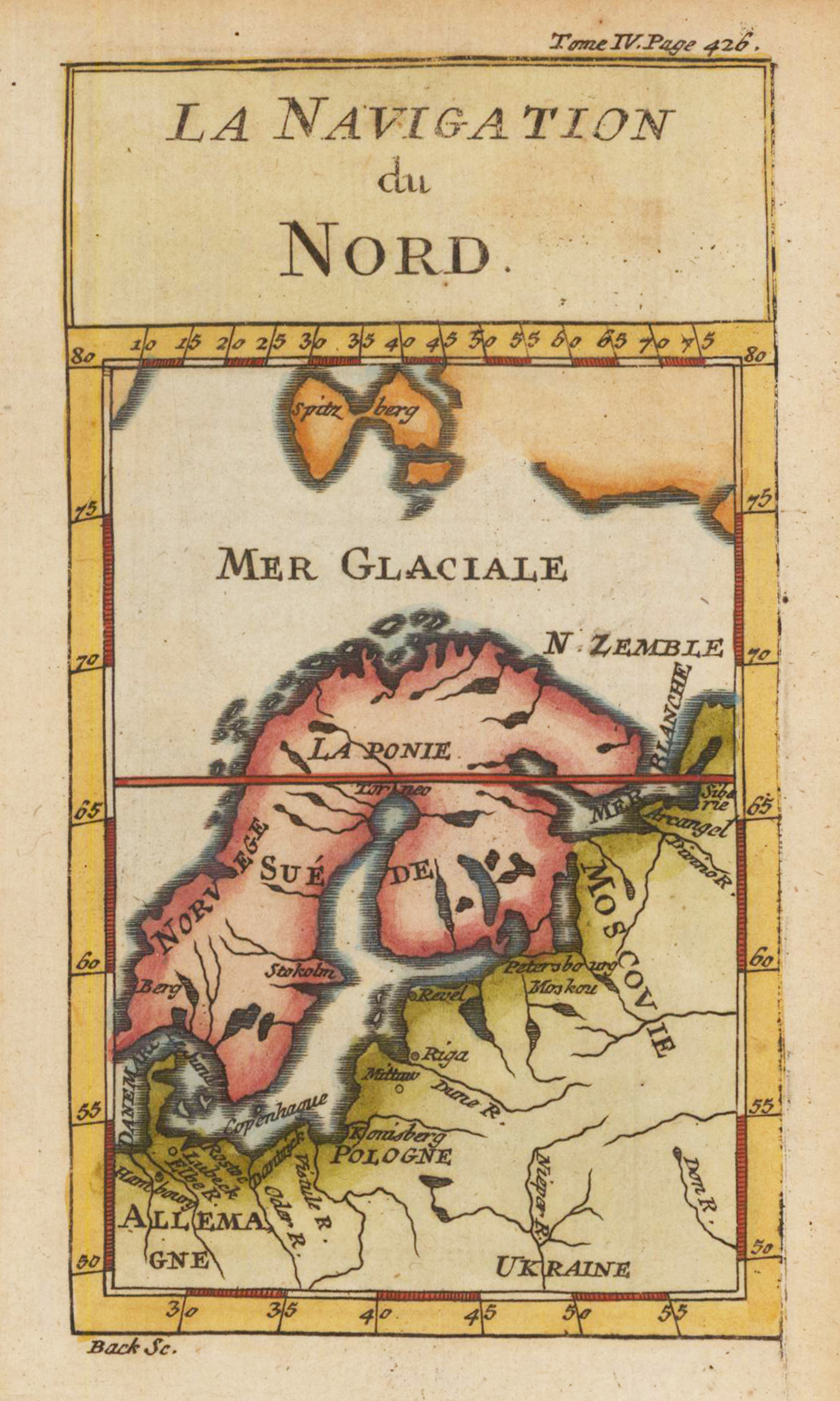
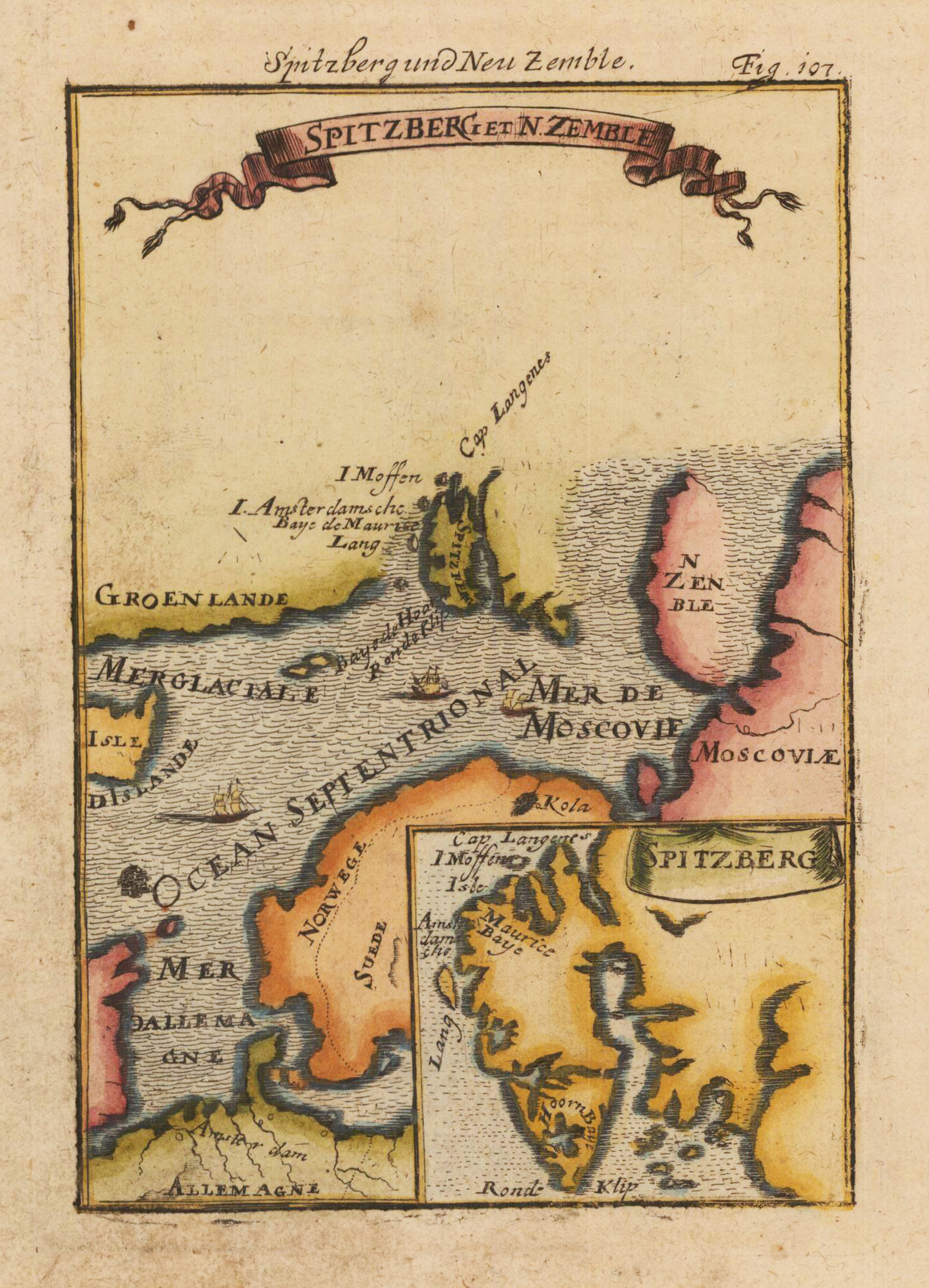
Copper engraving, hand colored in wash and outline, published in Allain Manesson Mallets description of the world. A beautiful antique map of Europe depicting also the ,Northern Ice Sea'.
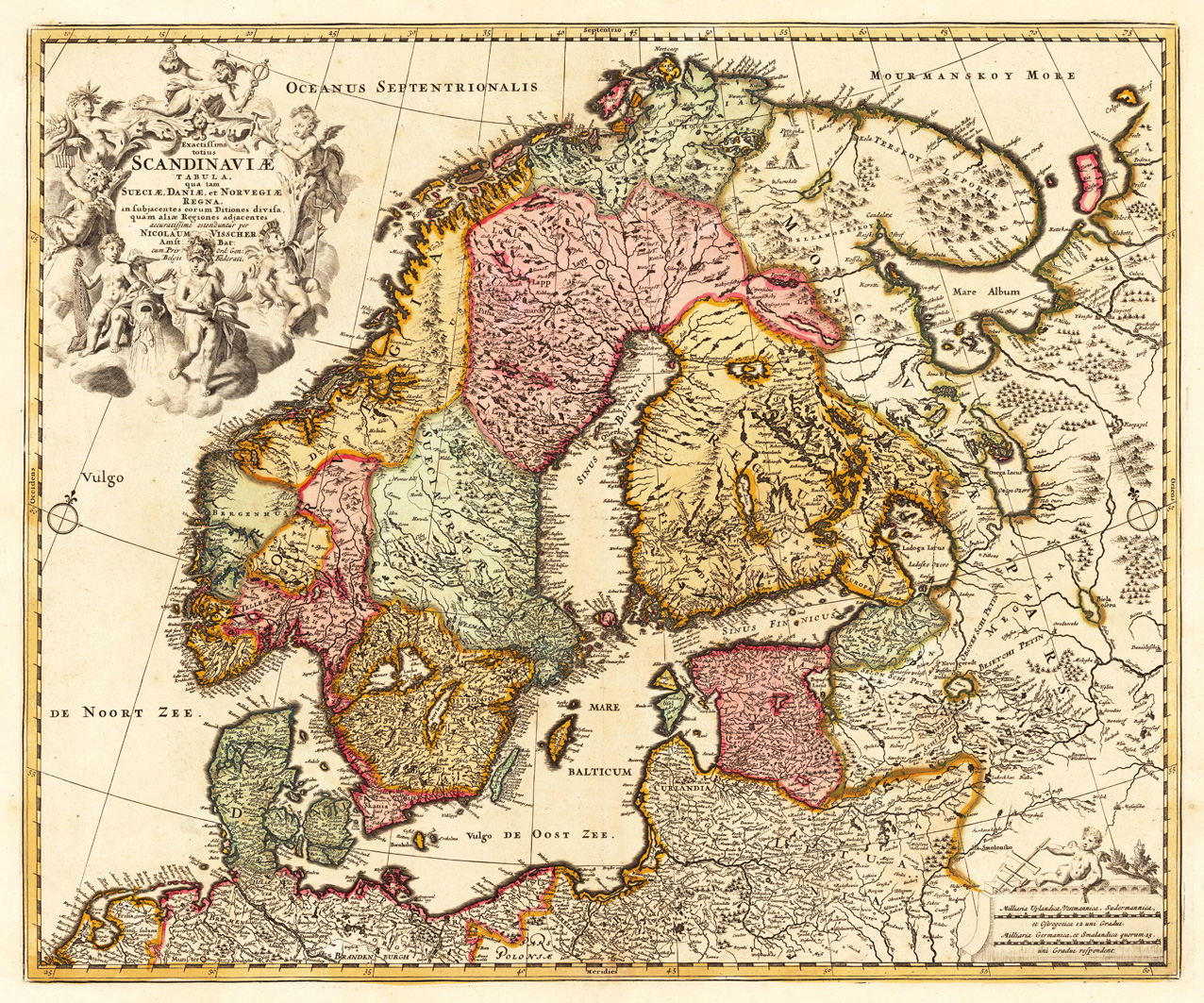
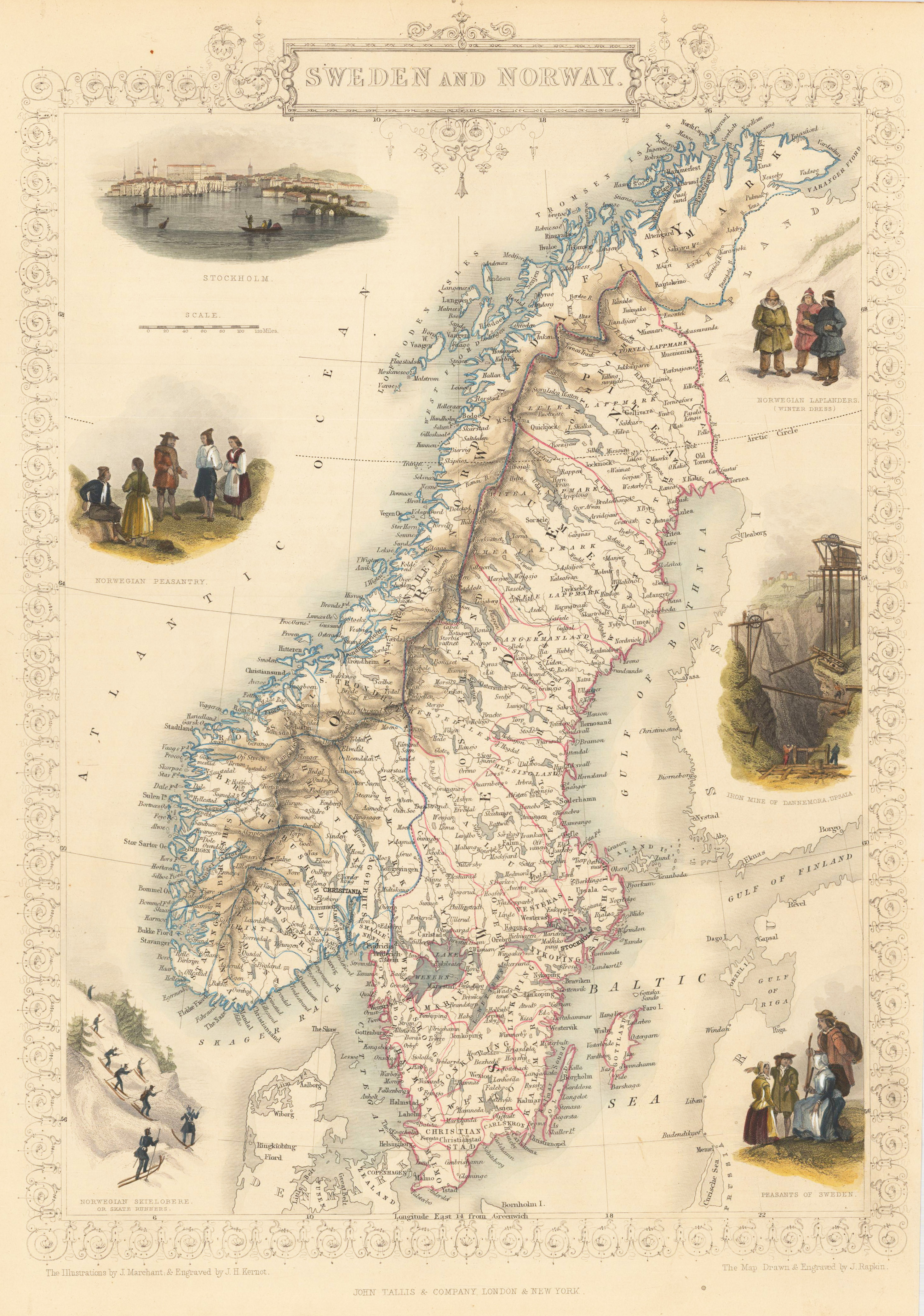
Copper engraving, hand colored in outline and wash.
Nicolaes Visscher (25 January 1618, Amsterdam – buried 11 September 1679, Amsterdam) was a Dutch engraver, cartographer and publisher. He was the son of Claes Janszoon Visscher. His son, Nicolaes Visscher II (1649–1702), also worked with him and continued the family tradition of mapmaking after his death. Visscher died in Amsterdam in 1679 and was buried in the Nieuwezijds Kapel on 11 September of that year, though a death year of 1709 is maintained by some sources.
His engraved double hemisphere map, Orbis Terrarum Nova et Accuratissima Tabula, was created in 1658 in Amsterdam. It also contains smaller northern and southern polar projections. The border is decorated with mythological scenes, one in each corner, drawn by the painter Nicolaes Berchem, showing Zeus, Neptune, Persephone and Demeter. It is an early example of highly decorated Dutch world maps. (Wikipedia)
Original copper engraving, hand colored in wash and outline, when published. The Austrian cartographer Franz Joh. Josef von Reilly published around 1789 in Vienna a large amount of very detailed district maps of Central Europe. These maps are famous for their large scales and the many details they provide. Even tiny place names can be found on those maps, rivers, mountains, streets, monasteries are as well engraved. The maps, which Franz J. Reilly engraved, were especially designed for the Austrian Royal house and show countries, provinces and districts belonging to the Austrian-Hungarian Empire.
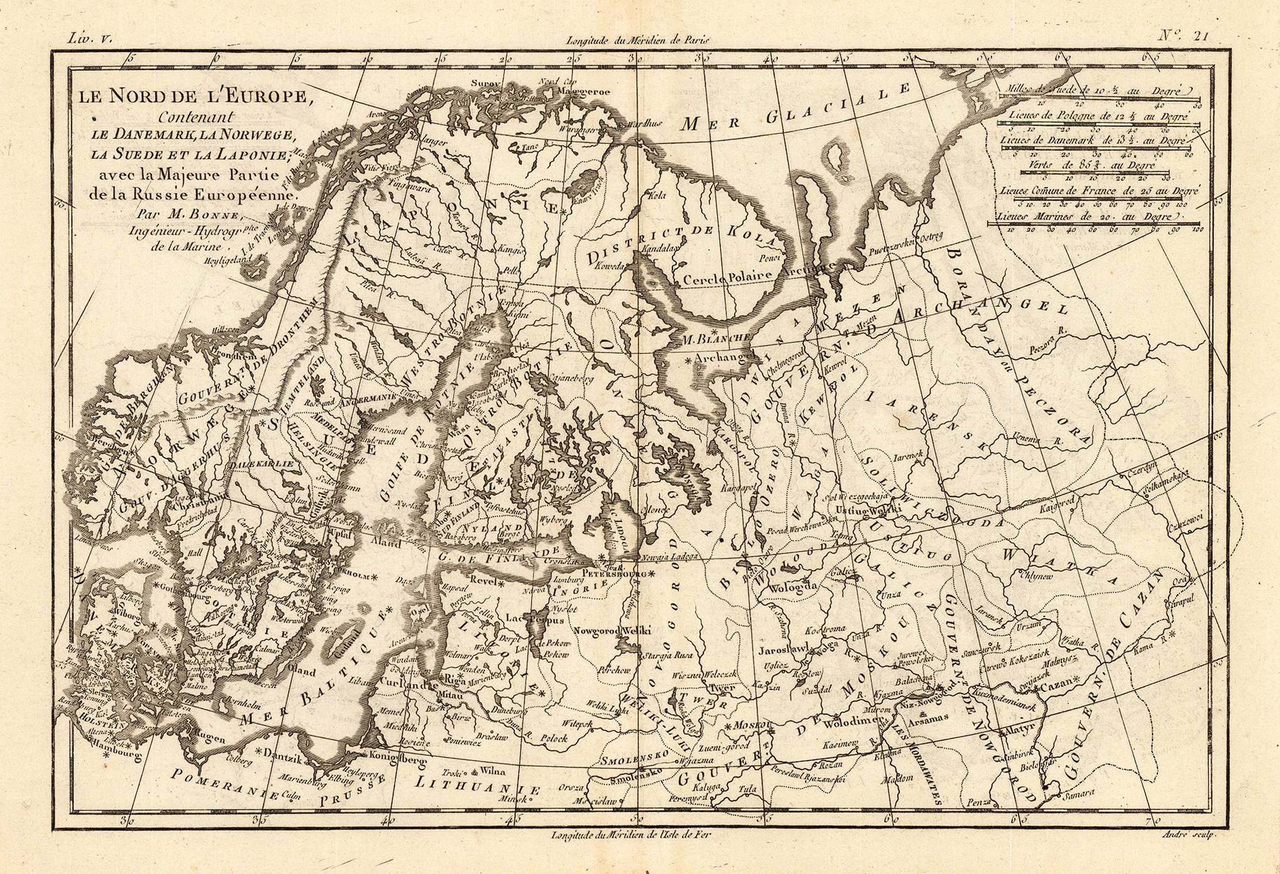
Copper engraving, uncolored as published. Rigobert Bonne (1727-1794) was a French cartographer of the late 18th century. He studied in Paris and practiced cartography. He became a skilled cartographer and hydrographer and became a royal hydrographer at the ,Depot de la Marine' in 1773. In 1780 he engraved and published the maps for Abbe Raynal's work ,Atlas de Toutes Les Parties Connues du Globe Terrestre'. He also published many charts for the ,Depot de la Marine', further he engraved the maps for the ,Atlas Encyclopedique' in 1788 together with Nicholas Desmarest.
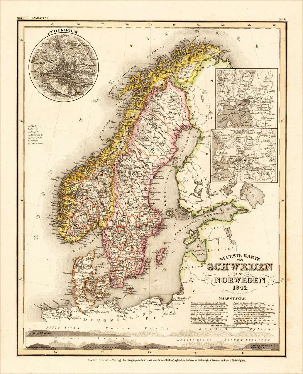
Original steel engraving engraved and drawn by Capt. Radefeld, published in Meyer's Handatlas, hand colored in outline when published. Decorative and detailed map of Sweden and Norway. In the upper left corner is a small inset map of Stockholm, as well two other inset maps with the surrounding of Christiania and Göteburg.
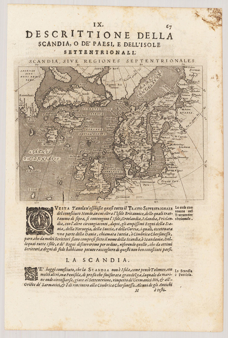
Fine copper-engraved map, printed into the full text page, published in Geografia ... Universale de la Terra, which was translated by Cernoti and published 1621 in Padua.
Copper engraving, in contemporary original color in outline. Detailled map showing Skandinavia with Denmark, Schweden, Norway and Finnland. With many engraved names of cities, villages and smaller places. In the upper left corner with a inset map of Iceland. One small milage scale.
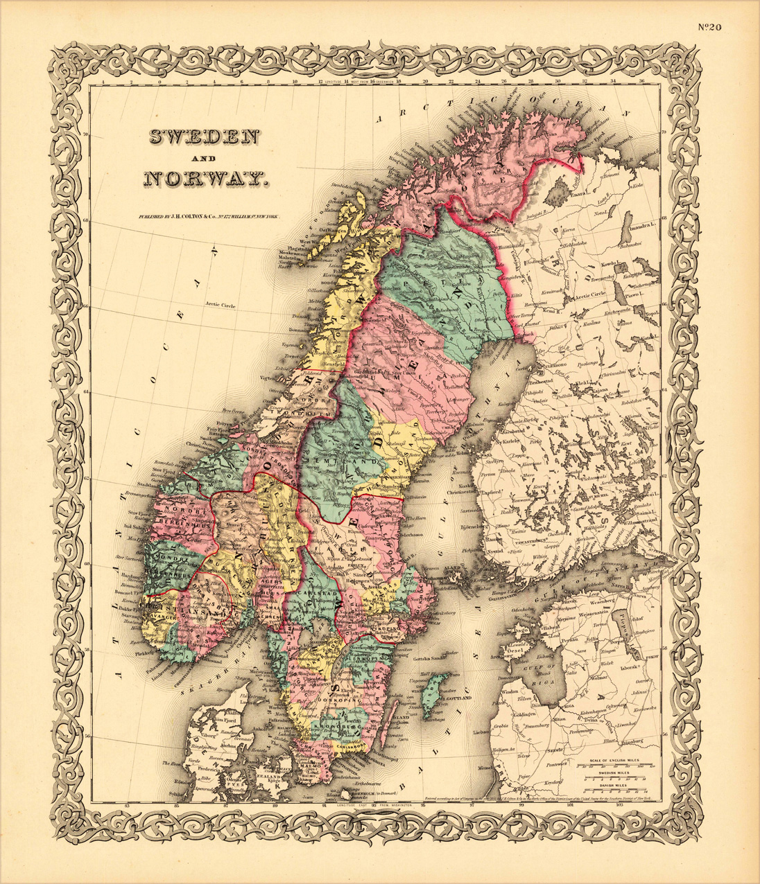
Engraved map, handcolored in outline and wash. Decorative map of Sweden and Norway published 1856 at J.H. Colton in New York. In decorative hand color in wash and outline, showing the political borders of Sweden and Norway around 18556 A quite detailed map showing many place names, rivers, mountains, etc.
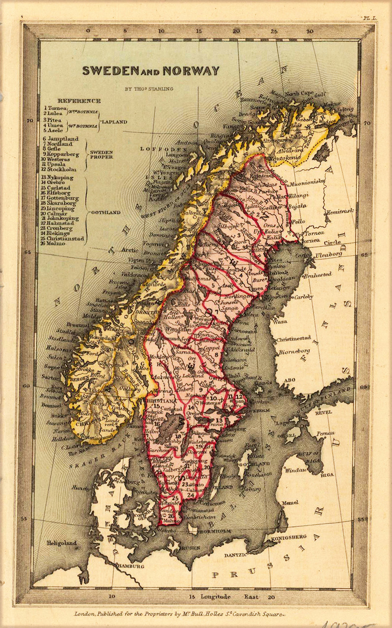
Steel engraving, hand colored in outline and wash when published. The map shows detailed Sweden and Norway. Inside the map are many place names, rivers, etc. The reference table we find in the upper left side. Fine designed and engraved small map by the London engraver Thomas Starling published in his 'Geographical Annual' 1833 showing a fair amount of place names, rivers and political borders of the different countries and territories.
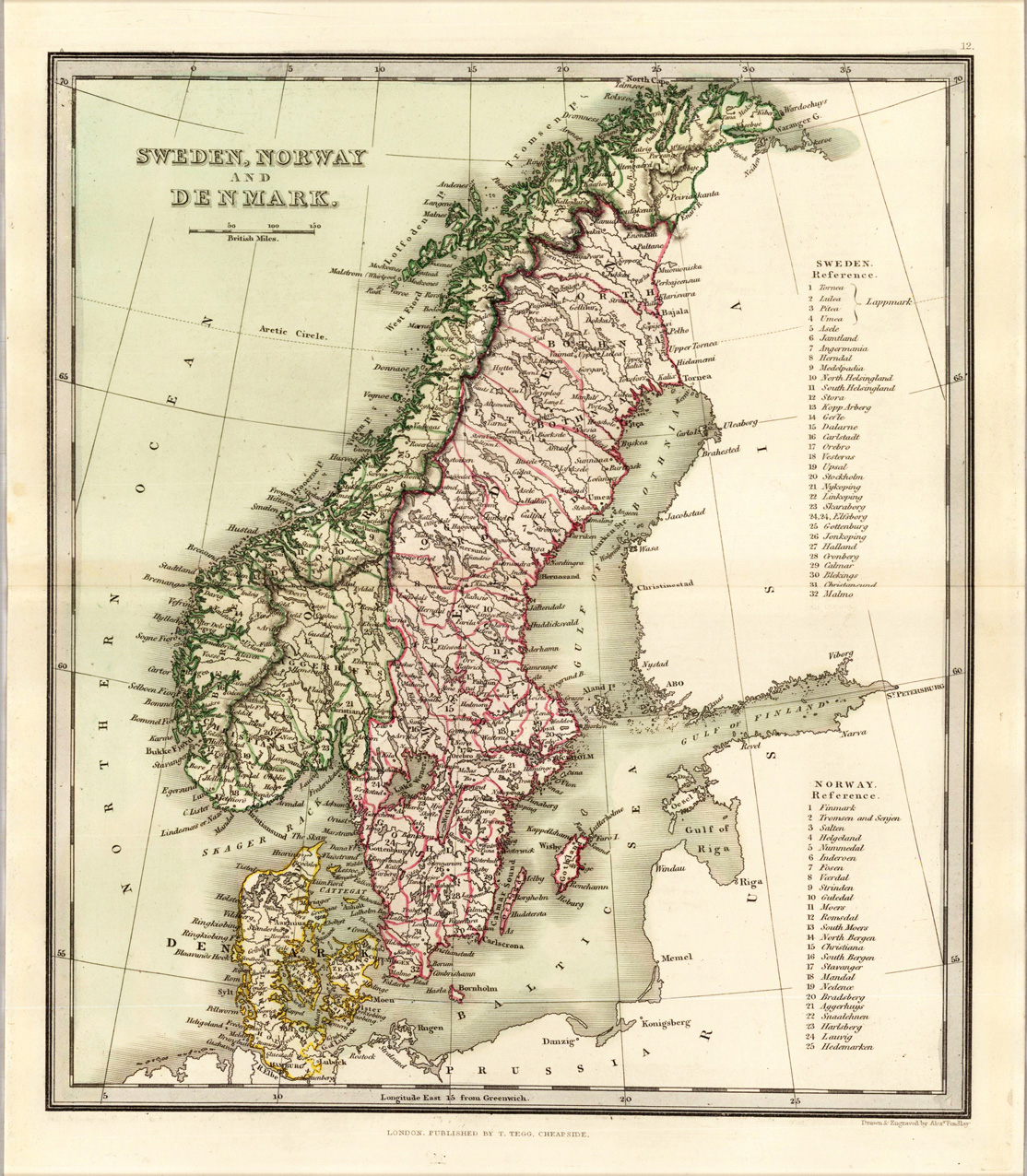
Engraved map, hand colored in wash and outline, when published. Nice and detailed map of Sweden, Norway and Denmark with engraved place names, rivers and political borders. Drawn and engraved by Alexander Findley in London.
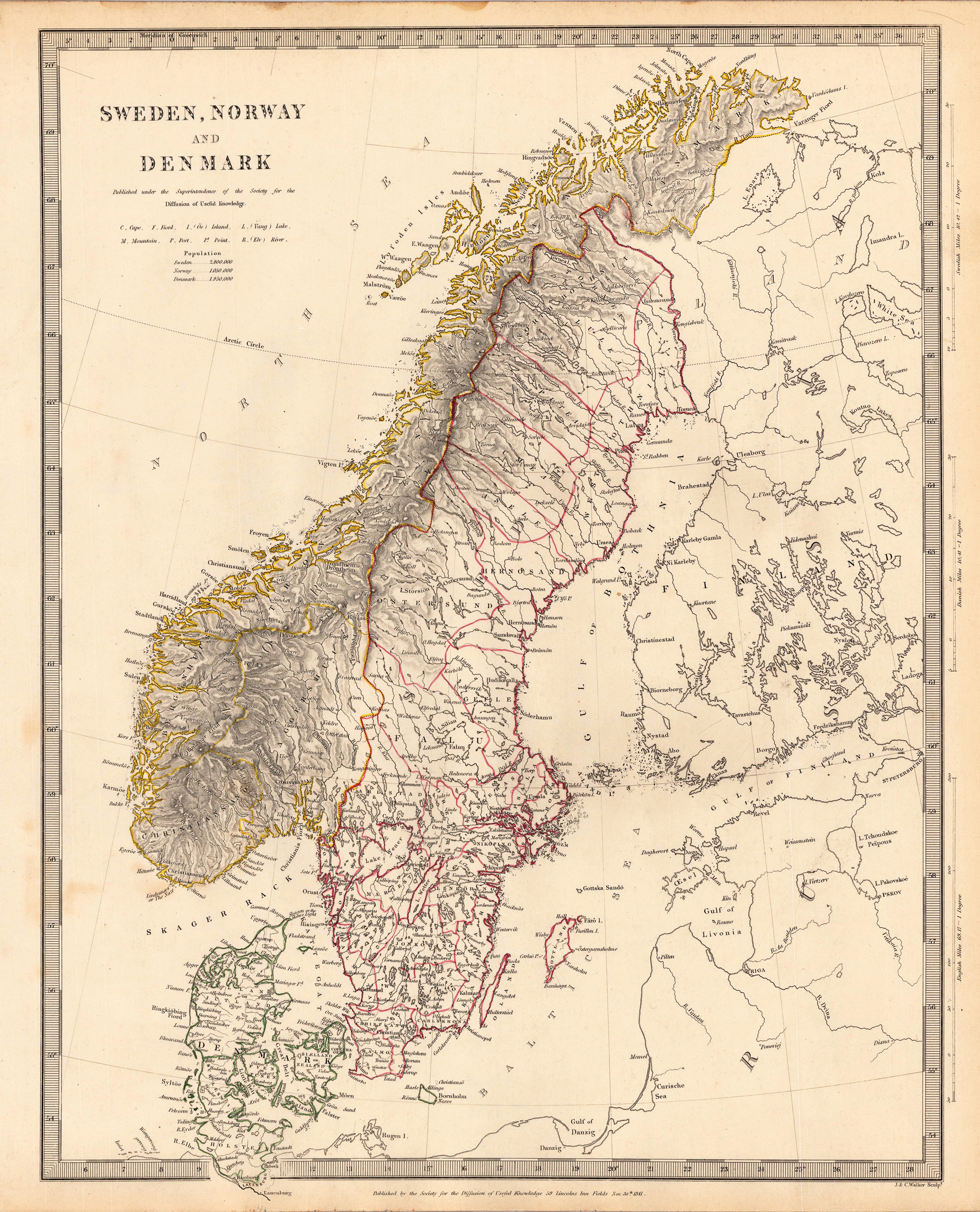
Steel engraving, hand colored in outline when published. This decorative map shows Scandinavia with the countries Sweden, Norway and Denmark. Inside the map are many small place names, rivers, lakes, etc. The Northern and Baltic Sea are also shown and in the east the map extends towards the Gulf of Livonia and the Gulf of Finland. A part of Finland is also shown at this map.
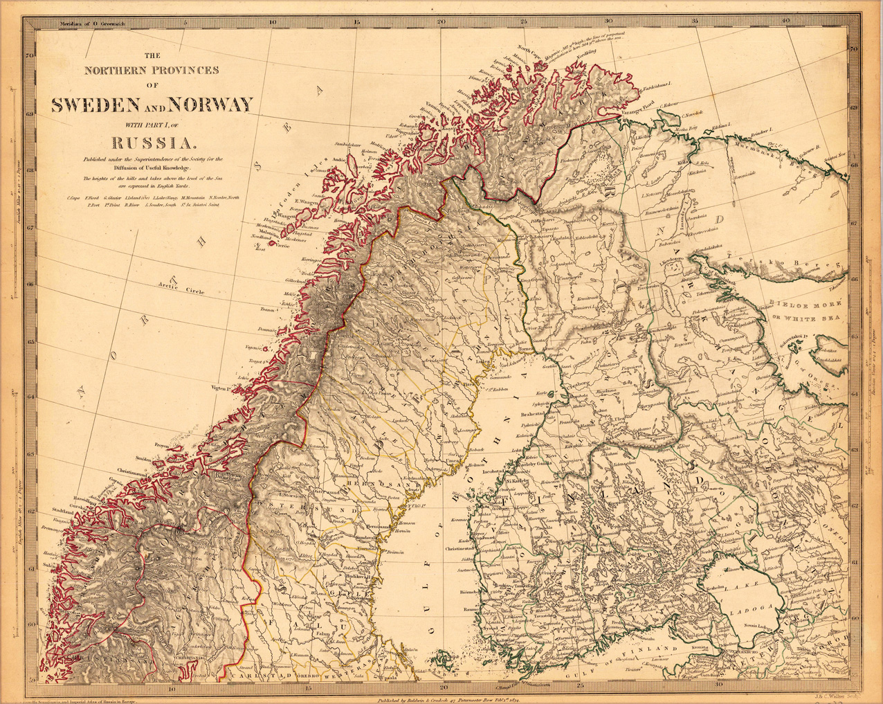
Steel engraving, hand colored in outline when published. A very decorative map from the northern provinces of Sweden and Norway with a part Russia. The map is equipped with place names, rivers, lakes, etc.