
![[S. Rom. Imperii Circuli et Electoratus Bavariae Tabula Chorographica No. 19]](https://bergbook-sw6.1drop.dev/media/7d/2c/69/1713265739/281355b0e5f13d38f5.jpg "281355b0e5f13d38f5")
[S. Rom. Imperii Circuli et Electoratus Bavariae Tabula Chorographica No. 19]
Product information: [S. Rom. Imperii Circuli et Electoratus Bavariae Tabula Chorographica No. 19]
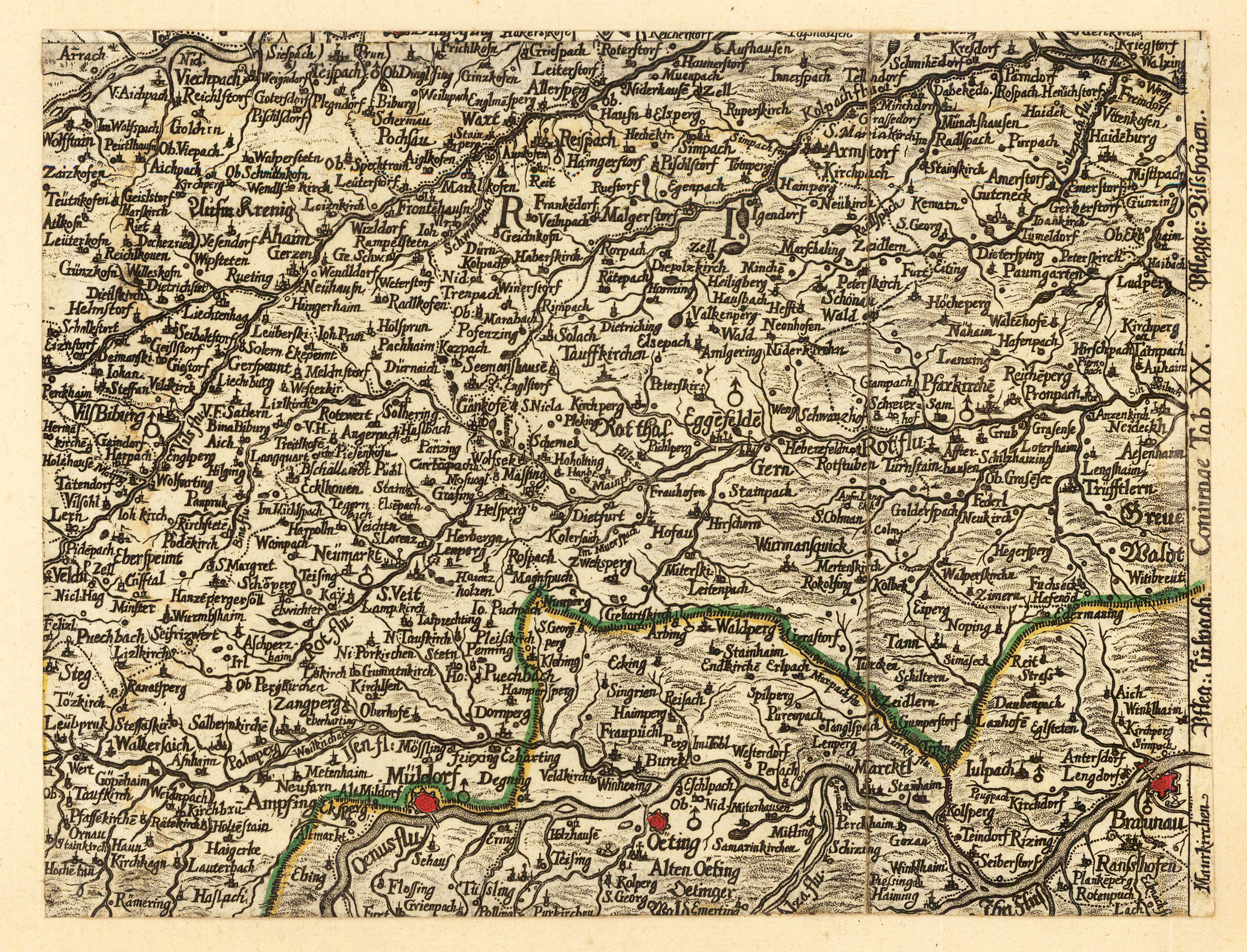
Copper engraving, hand colored in outline when published. This copper engraving was published in the famous atlas of Bavaria by Georg Philipp Finckh in 1671. Finckh published a large oversize map of Bavaria based on the cartographic source of the woodcut map by Philipp Apian. This is the engraved version in a reduced size of Apian's sheet no.19 showing the area between Mühldorf and Braunau, in the north towards Arnstorf in lower bavaria (Arnstorf in Niederbayern). A highly detailed 17th century map for this area.
Properties
| Category: | Bayern |
|---|---|
| Issue date: | 1671 |
| Published place: | Augsburg |
| Technique: | Copper engraving / Original color |
| Type: | map |