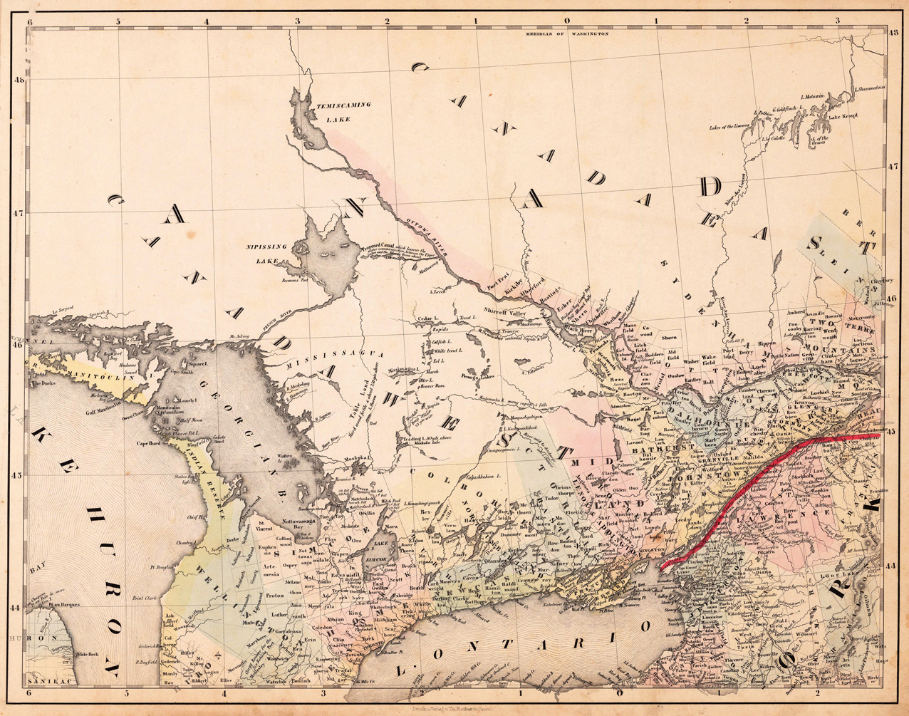
Lithograph, original color in outline and wash. This decorative map shows the region from West Canada, Ottawa River towards East Canada. Detailed information on the map on Lake Ontario, the Georgian Bay, Nipissing Lake, Temiscaming Lake and the Ottawa River. Inside the map are many place names, rivers, lakes, etc. engraved. As well names on Indian tribes are given. This is one sheet (map no 3) of Calvin Smith's famous map of North America. Here is the rare version in lithograph present, published in Cassel in Germany. A splendid detailed map, showing nicely West Canada, Lake Huron and Lake Ontario and adjacenting parts. The map is highly detailed colored in outline and wash by counties and states, many place names, streets or routes, rivers, mountains, etc. are shown. An interesting collector's piece.
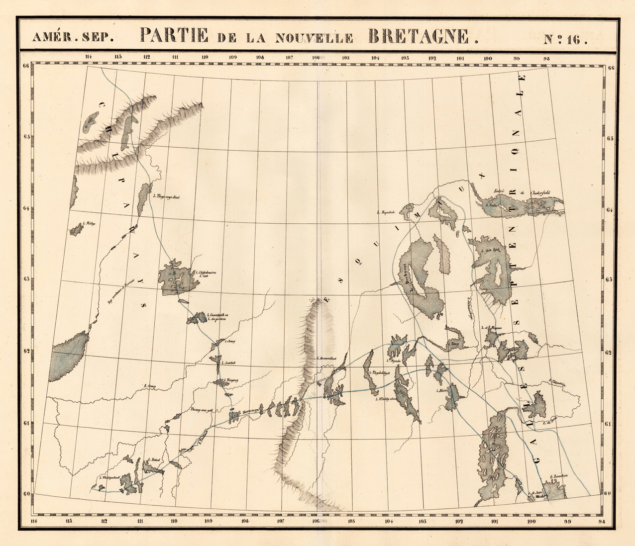
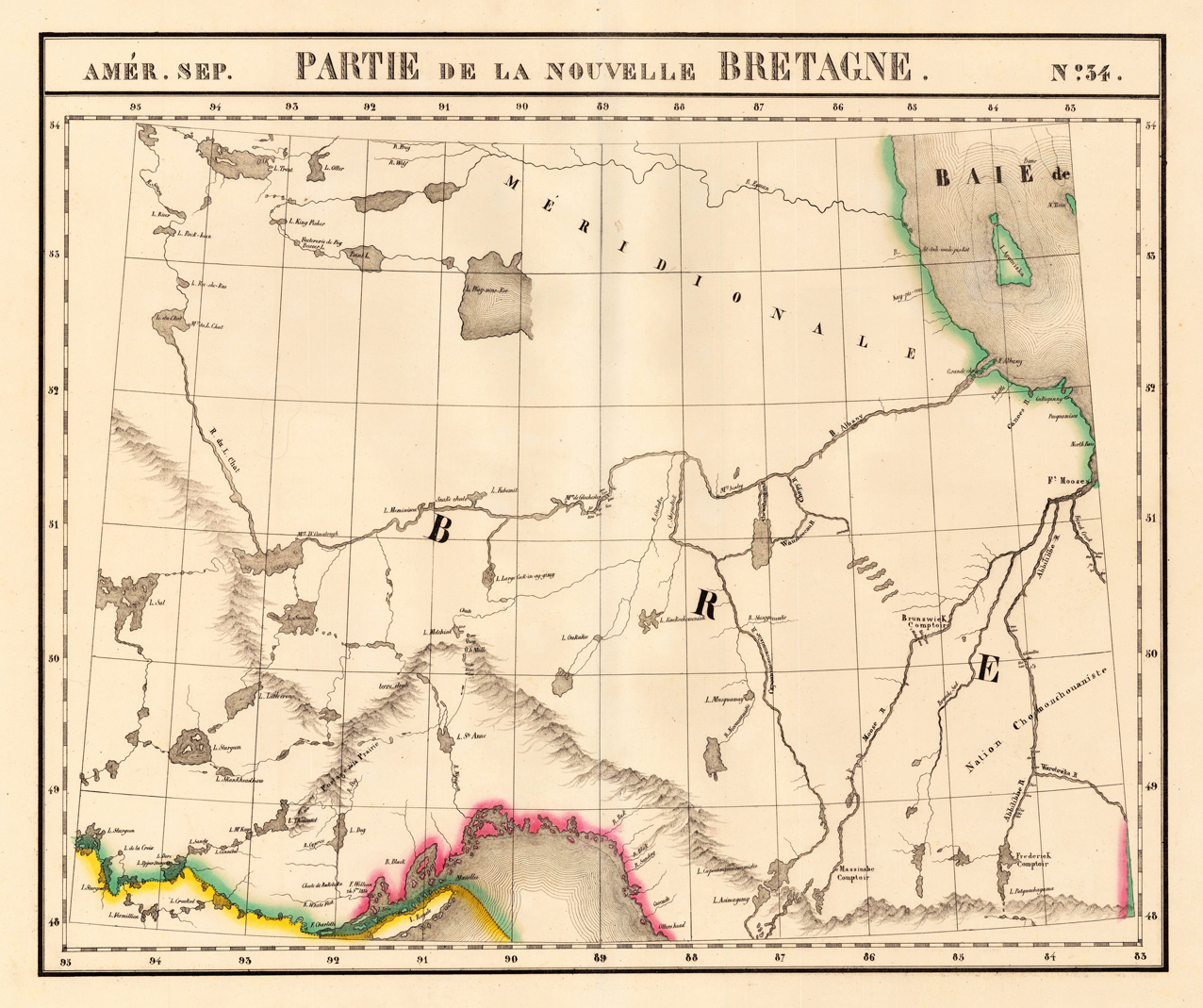
Lithograph, original hand colored in outline. Large and detailed map sowing the region from Lake Superior, R. Du L. Chat, L. Sturgeon, Hudson Bay and Albany River. Equipped with detailed information on the names of rivers and lake, mountains, Forts and Indian tribes. The map was published in Phillippe Marie Vandermaelen's atlas of North America.
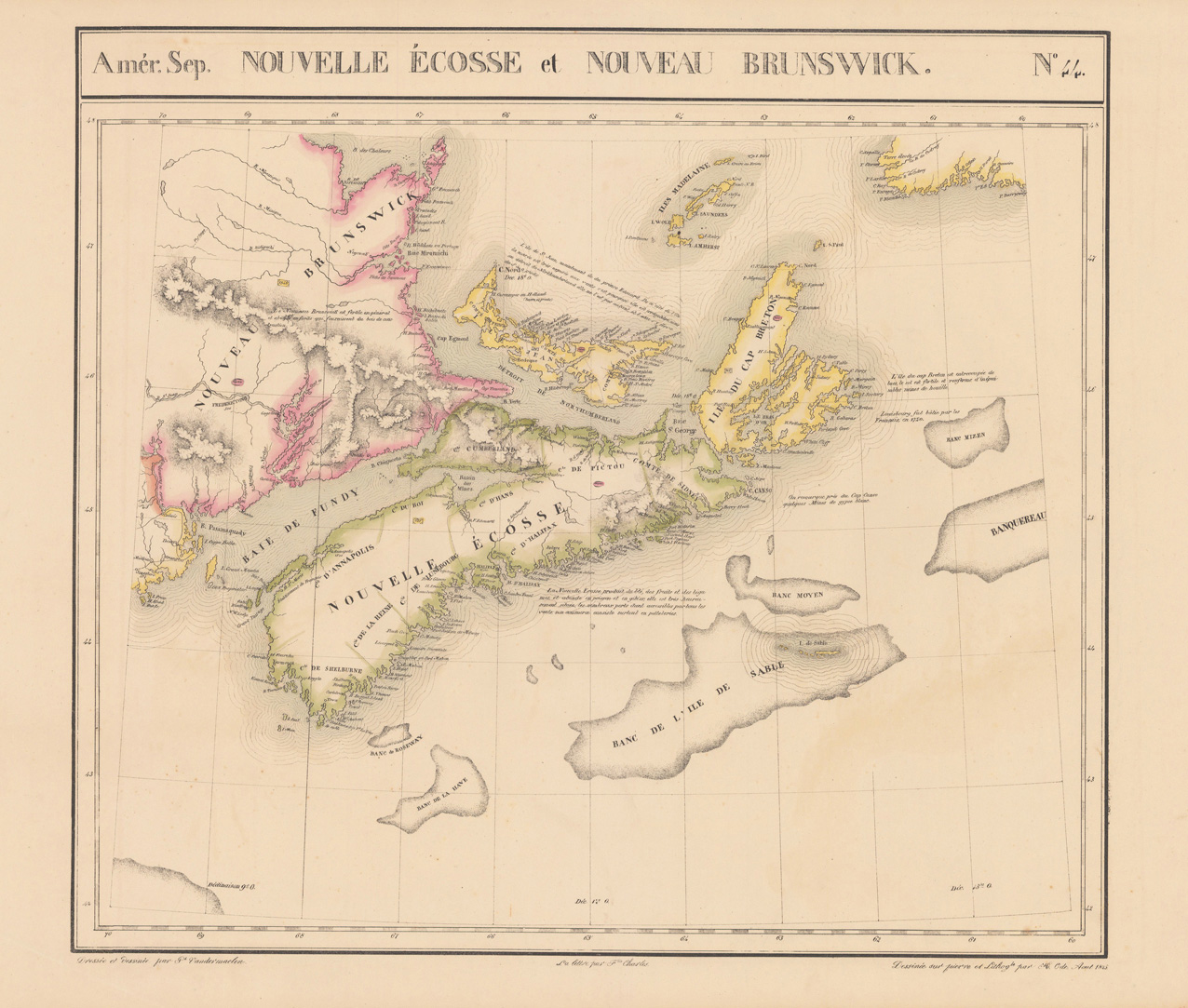
Original antique Lithograph, hand colored in outline. This antique map shows Nova Scotia, Prince Edward Island, Cape Breton Island, Isles de la Madeleine, New Brunswick and a small Part of Newfoundland.
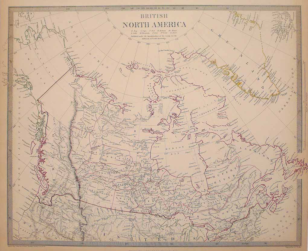
Original antique steel engraving, hand colored in outline when published. An unusual map of British North America or Canada. The Society for the Diffusion of Useful Knowledge (SDUK), founded in 1826 by Lord Brougham, was a Whiggish London organisation with the high-minded objective of bringing learning to the uneducated working and middle classes. Much of its output was regarded as unreadable, it was not commercially successful, and it was wound up in 1848. Its most enduring legacy is the wonderful set of atlas maps and sought-after town plans published under its auspices, which we stock below. Originally issued in parts by Baldwin & Cradock 1829-32, it was later published as an atlas by Chapman & Hall in 1844 and by Charles Knight between 1844-1852. It continued to be published after the demise of the Society by G. Cox 1852-1853 and Edward Stanford 1857-1870. The maps commonly have original outline colour. Fourteen members of the S.D.U.K. served on the Boundary Commission for the 1832 Great Reform Act. (Wikipedia)
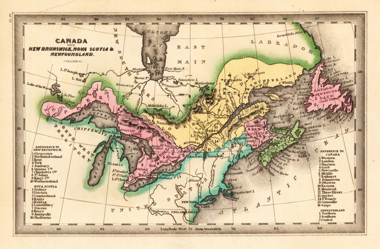
Steel engraving, hand colored in outline and wash when published. This fine small engraved old map shows Canada, Nova Scotia, Newfoundland and Parts of the United States of America. This rare antique original map was published by Carey & Lea in Philadelphia in a small pocket atlas. Detailed engraved with place names, rivers and mountain chains.
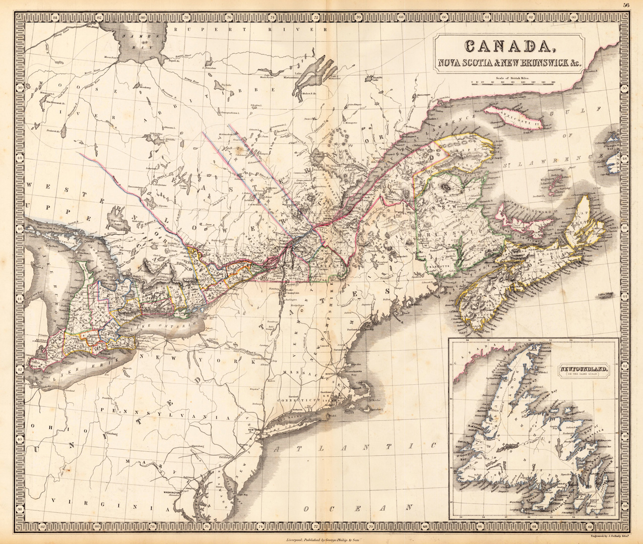
Lithograph, handcolored in outline, when published. Decorative map showing the North East coast of North America with Nova Scotia, New Brunswick and Newfoundland as an inset map.
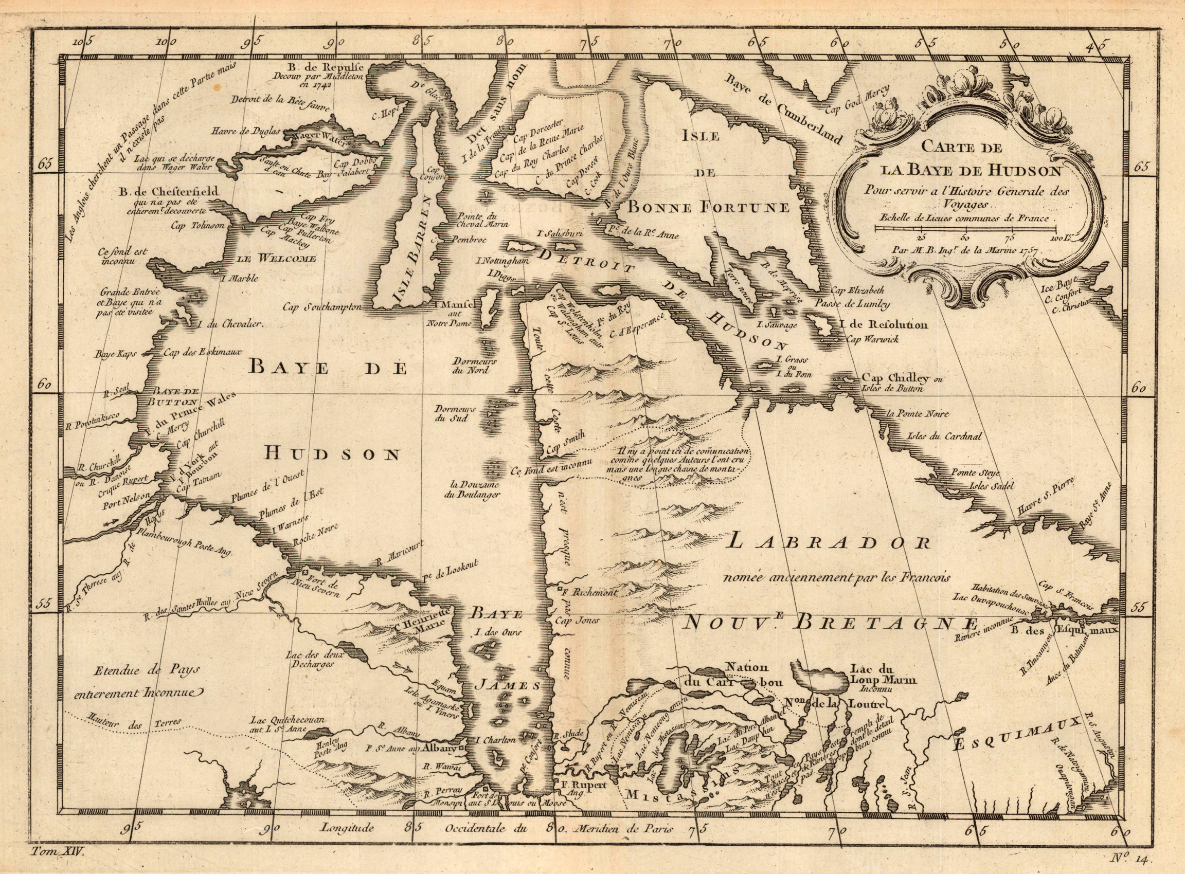
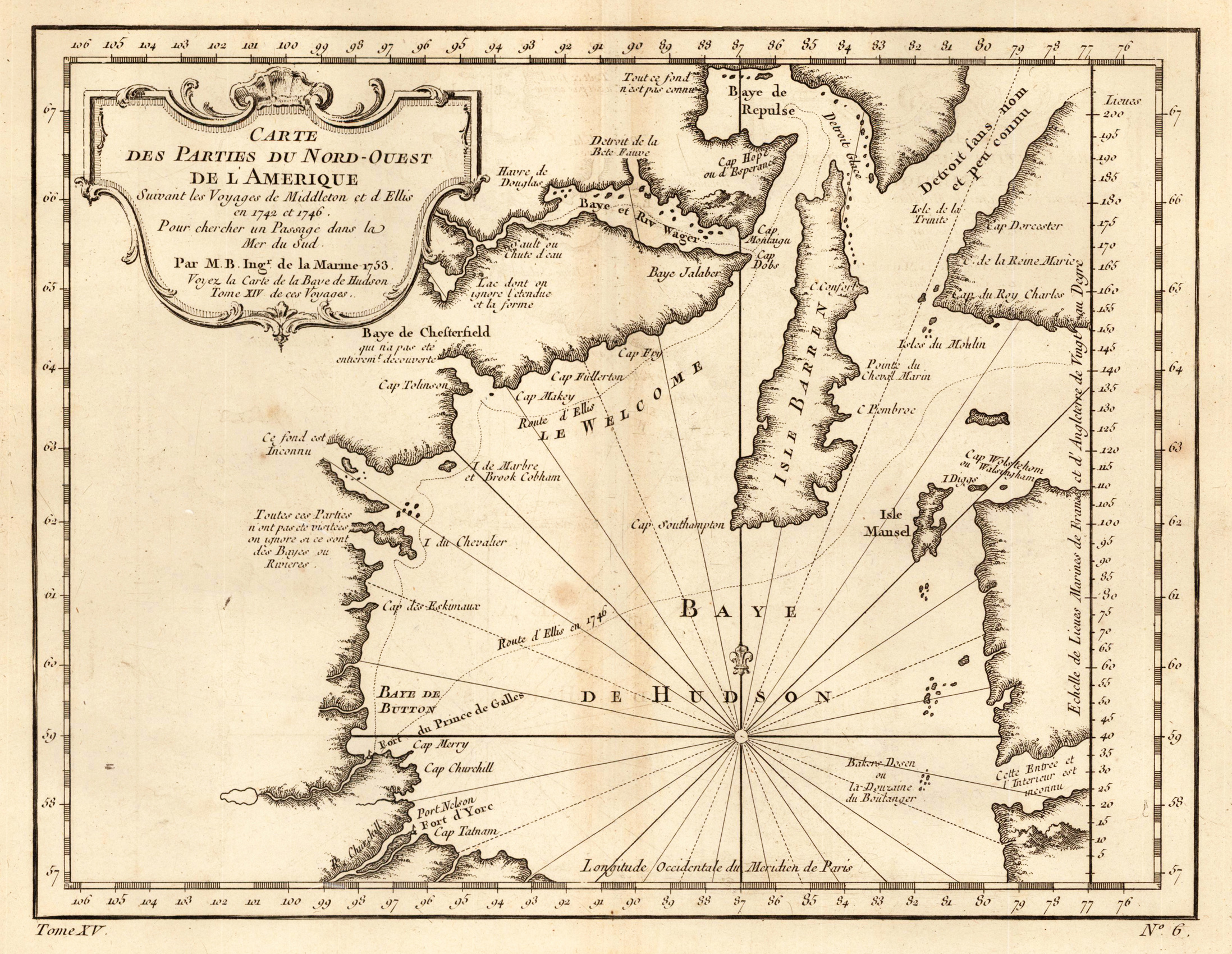
Copper engraving, uncolored as published. This very detailed antique map shows the Hudson Bay Area. The beautiful cartouche is in the upper left corner.
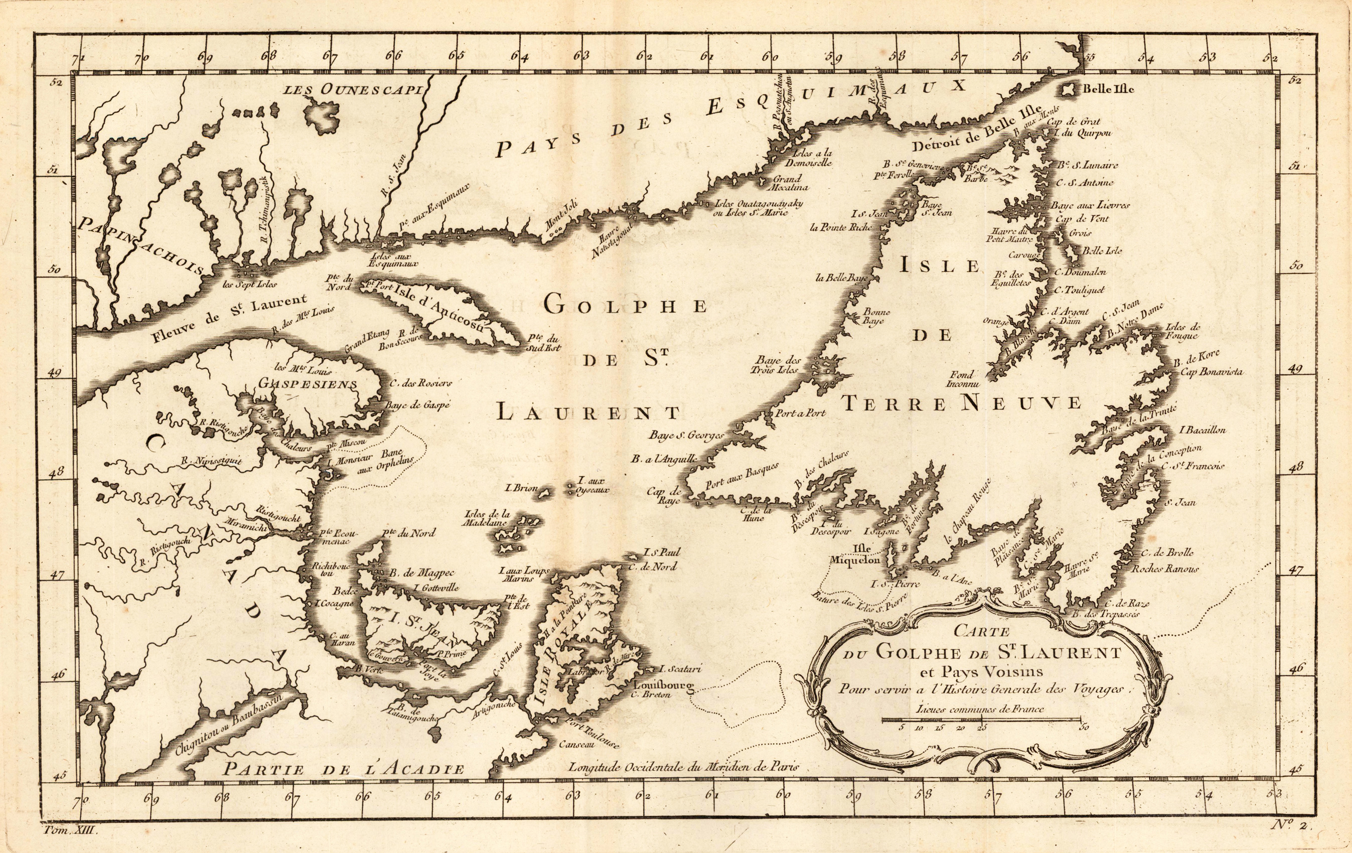
Copper engraving, uncolored as published. This beautiful decorative antique map shows the Island Newfoundland, Nova Scotia, Islands of Anticosti and New Brunswick.
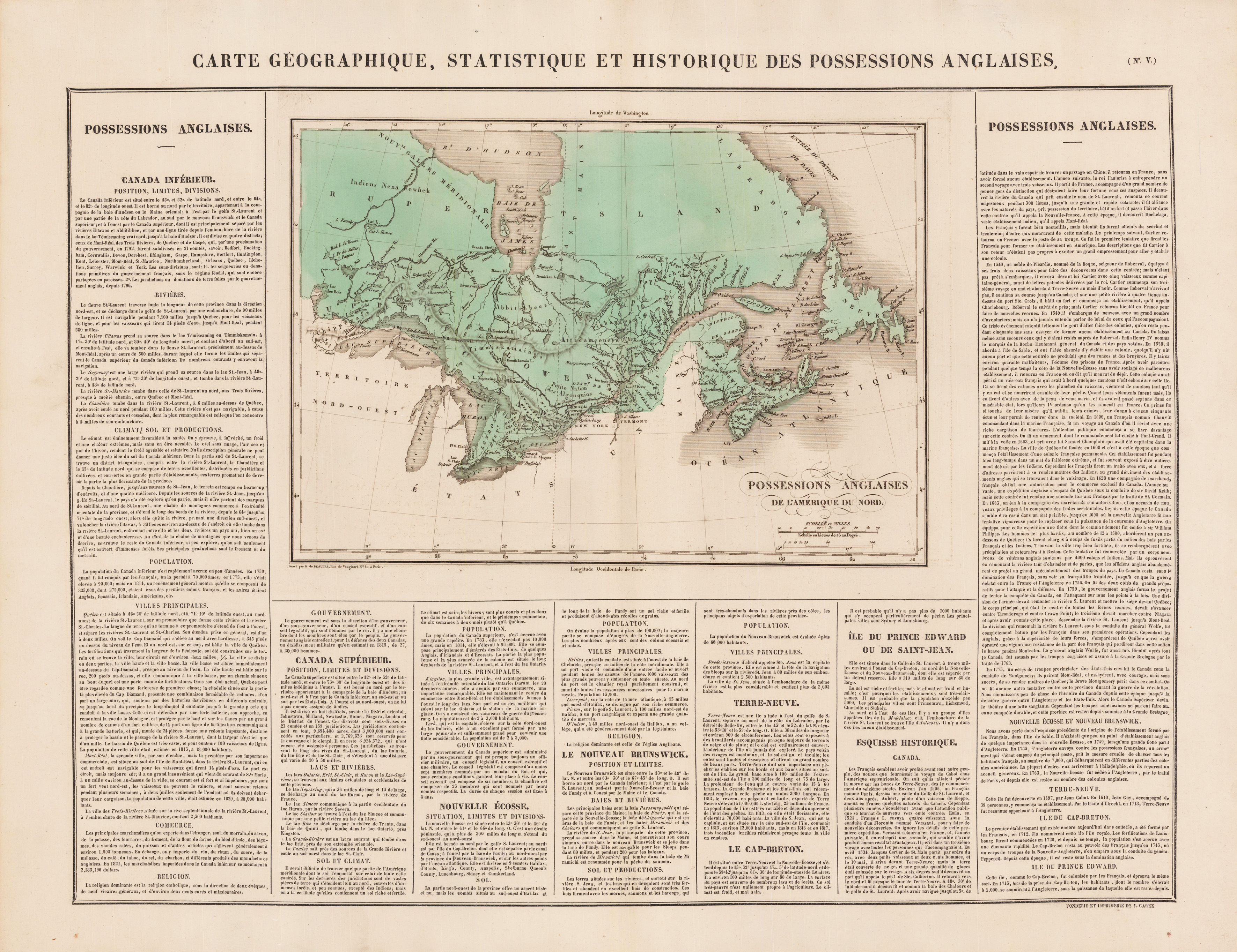
Copper engraving, hand colored in wash. Detailed map showing Canada with the North East coast of North America, mainly Terra Nova, Newfoundland and Eastern Canada. French edition of the 1822 in Philadelphia published map by Carey & Lea. The map was engraved by B. de Beaupre.
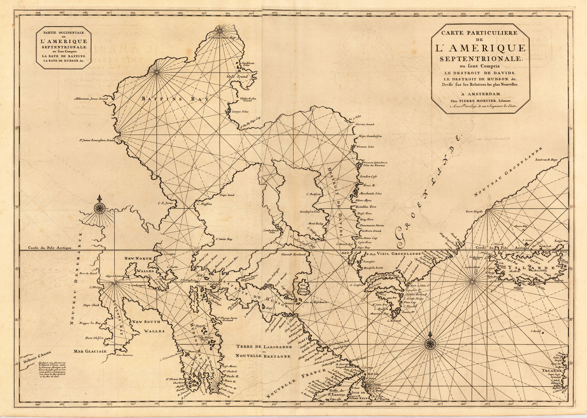
Copper engraving, uncolored as published. This map was published ca.1704 in Pierre Mortier's famous sea-atlas 'Le Neptune Francois'. Large detailed and interesting map by the famous French cartographer Nicolaus Sanson published in the Dutch edition of the famous sea atlas 'Le Neptune Francois ...' in Amsterdam at Pierre Mortier. This rare and antique sea chart map is equipped with compass roses and two large title text cartouches in the upper corners. Along the coast lines we do find many engraved place names, islands, etc. The map extends in the Northern Atlantic towards Iceland.
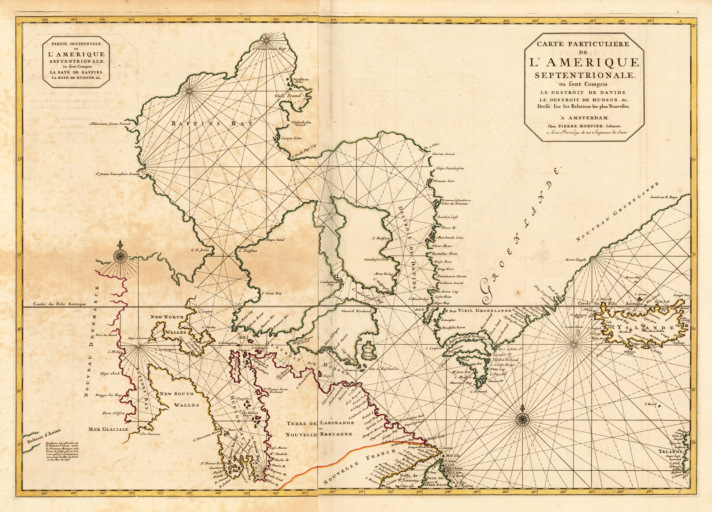
Copper engraving, hand colored. This map was published ca.1704 in Pierre Mortier's famous sea-atlas 'Le Neptune Francois'. Large detailed and interesting map by the famous French cartographer Nicolaus Sanson published in the Dutch edition of the famous sea atlas 'Le Neptune Francois ...' in Amsterdam at Pierre Mortier. This rare and antique sea chart map is equipped with compass roses and two large title text cartouches in the upper corners. Along the coast lines we do find many engraved place names, islands, etc. The map extends in the Northern Atlantic towards Iceland.
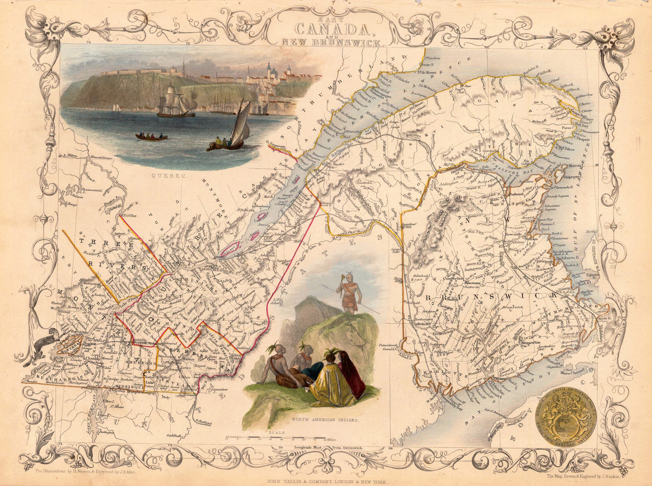
Steel engraving, hand colored in outline and wash. This beautiful antique Tallis map shows Canada and New Brunswick. In the upper left corner is a very nice engraving from the Canadian town ,Quebec'. Fisherman and Sailing ships in the foreground and behind the city on the mountain. In the middle of this very detailed old map are some north american Indians. Under New Brunswick is one gold coin from Canada engraved.
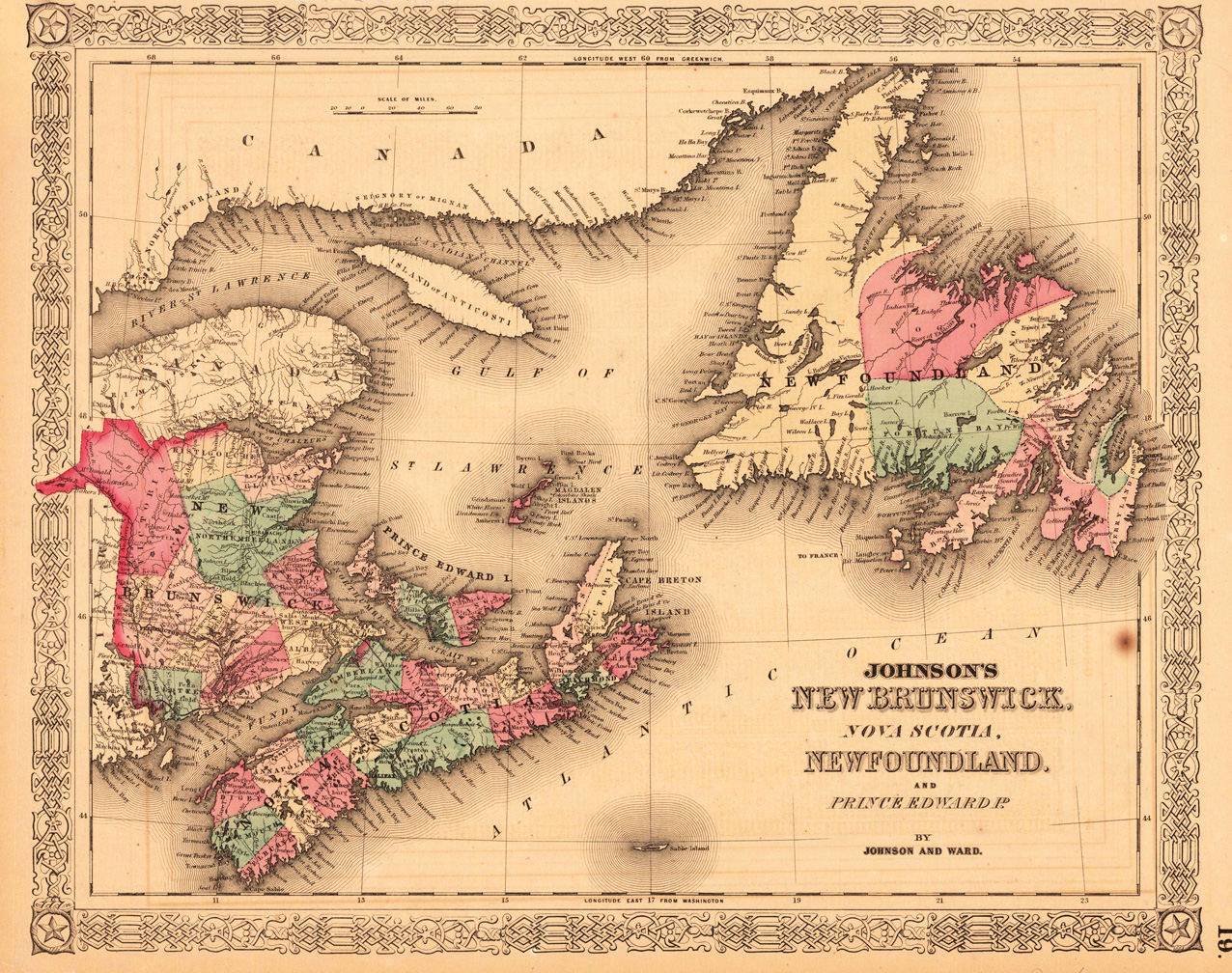
Lithograph, original colored in outline and wash. This beautiful decorative antique map shows the Island Newfoundland, Nova Scotia, Islands of Anticosti and New Brunswick.
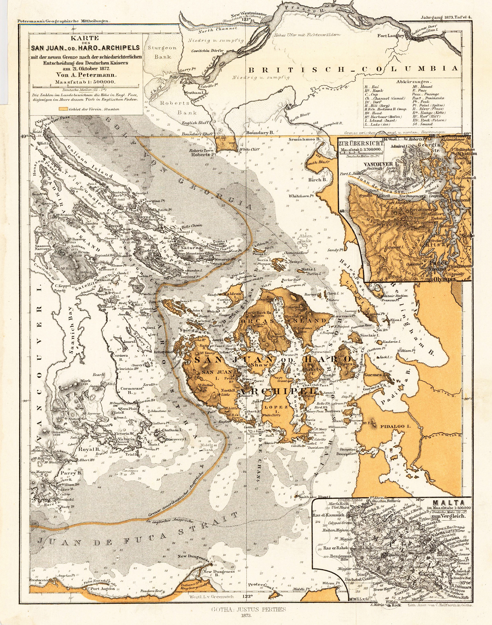
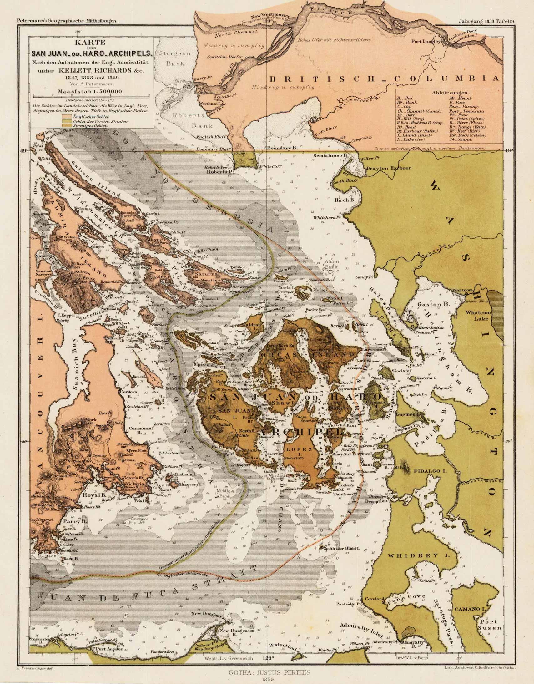
Lithograph, original color as published. Detailed map of the San-Juan or Haro-Archipel. The de Haro-Strait divides San-Juan Island from Vancouver Island. Nice and detailed interesting antique map for the collector of the Northwest.
Lithograph, original color as published. Detailed map of the San-Juan or Haro-Archipel. The de Haro-Strait divides San-Juan Island from Vancouver Island. Nice and detailed interesting antique map for the collector of the Northwest.
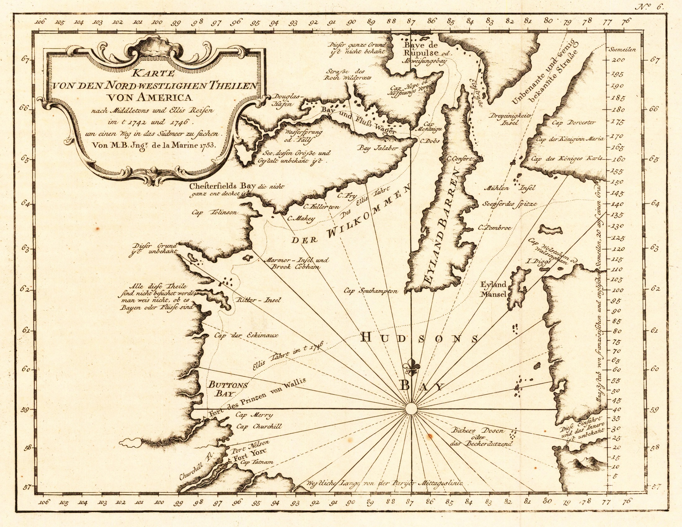
Original old copper engraving, uncolored as published. This very decorative antique map shows the Hudson Bay Area with its many islands. The title cartouche is in the upper left corner in German language engraved.
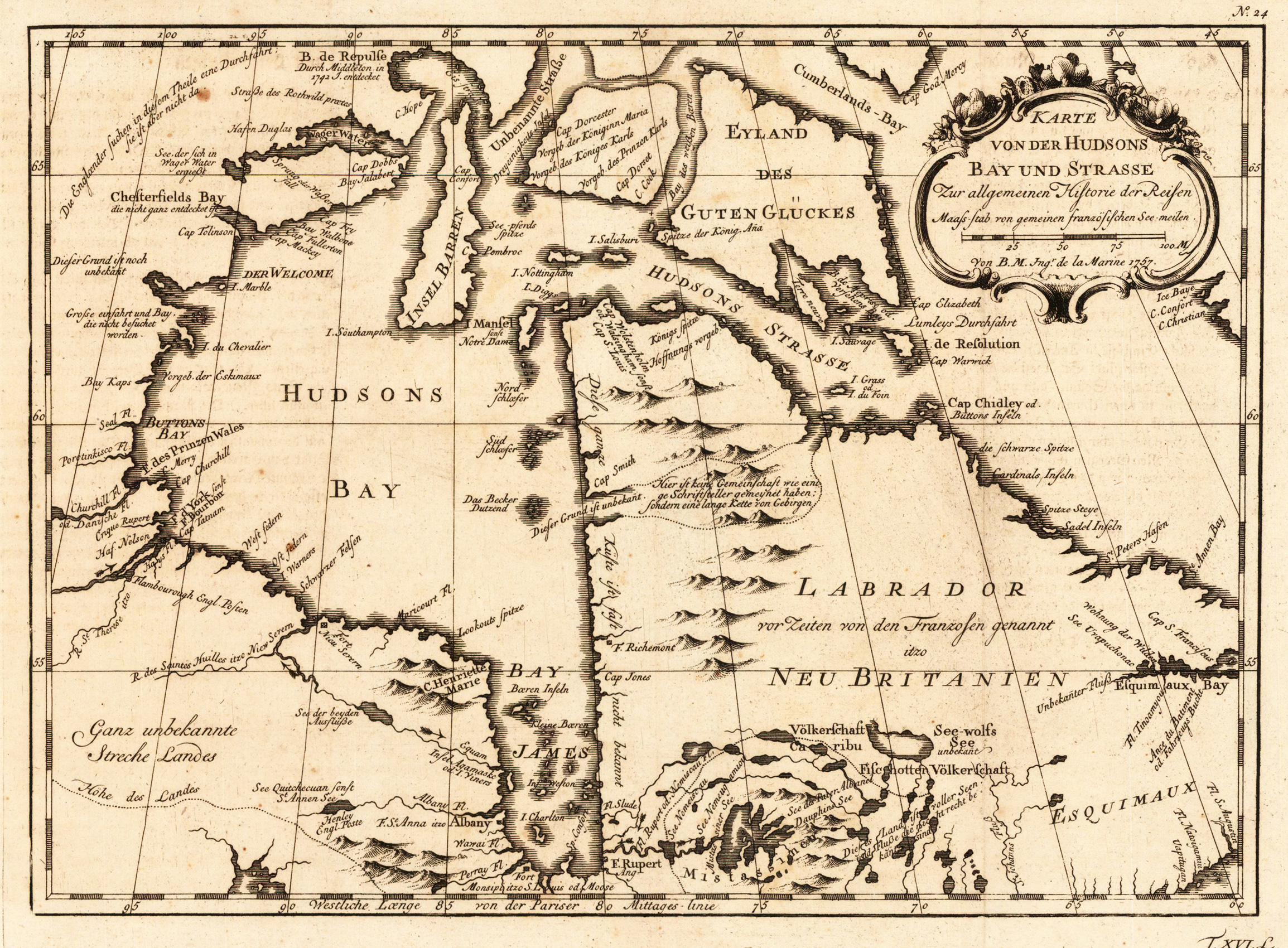
Copper engraving, uncolored as published. This very decorative antique map shows the Hudson Bay Area with its many islands and the Hudson street. The title cartouche with an mileage scale is in the upper right corner in German language engraved.