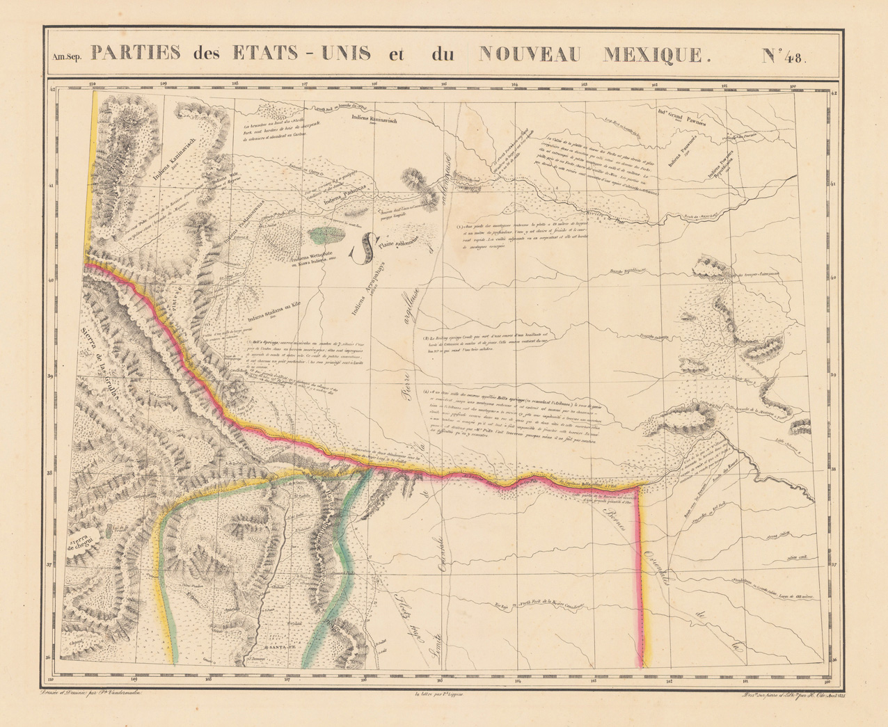
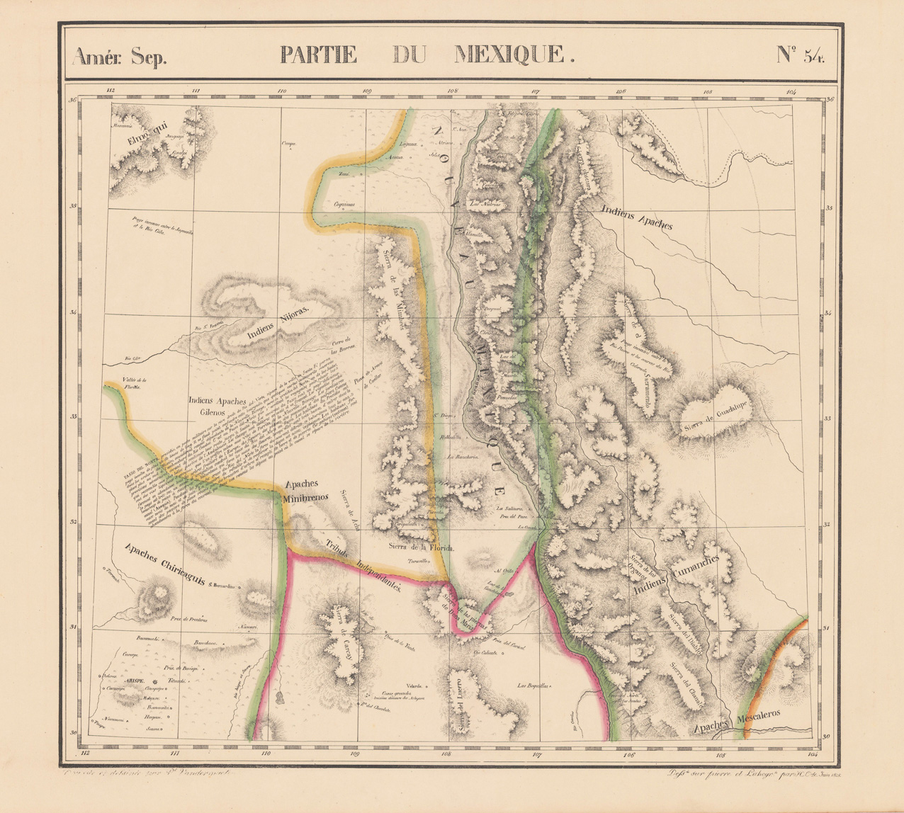
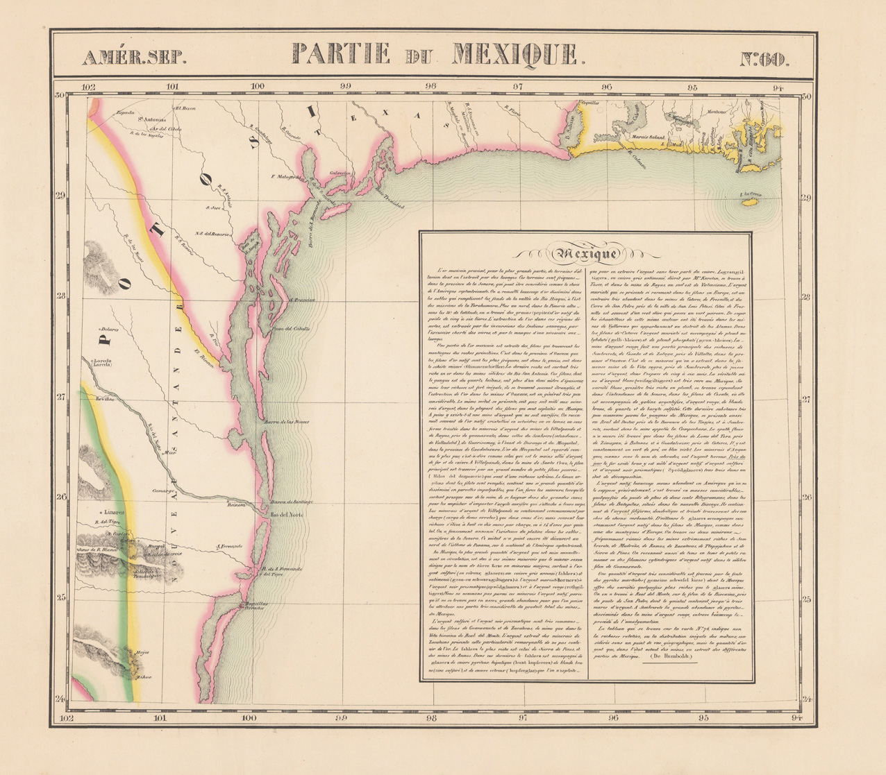
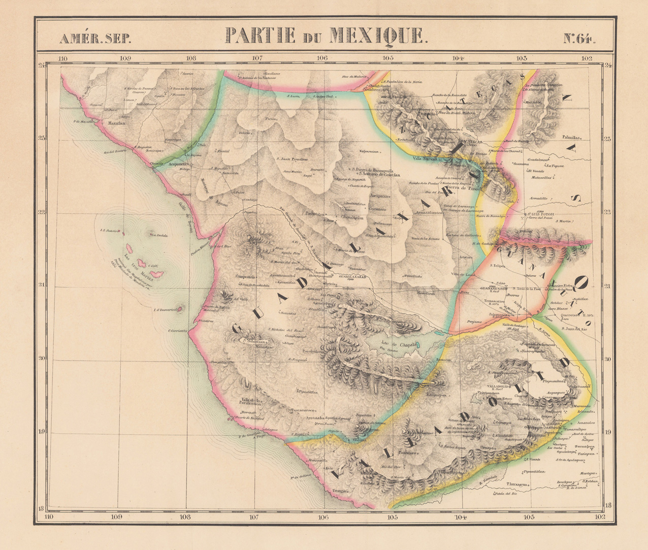
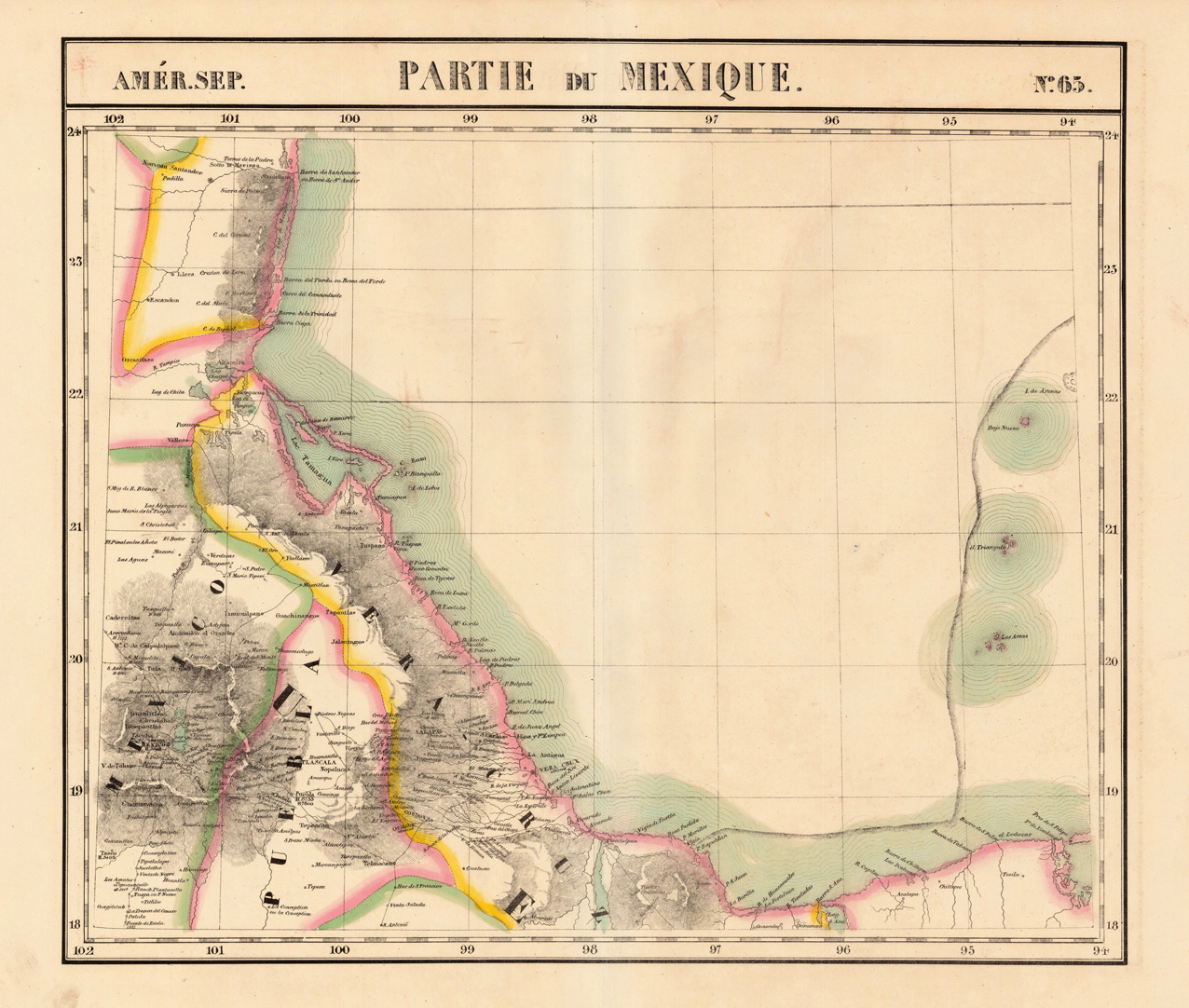
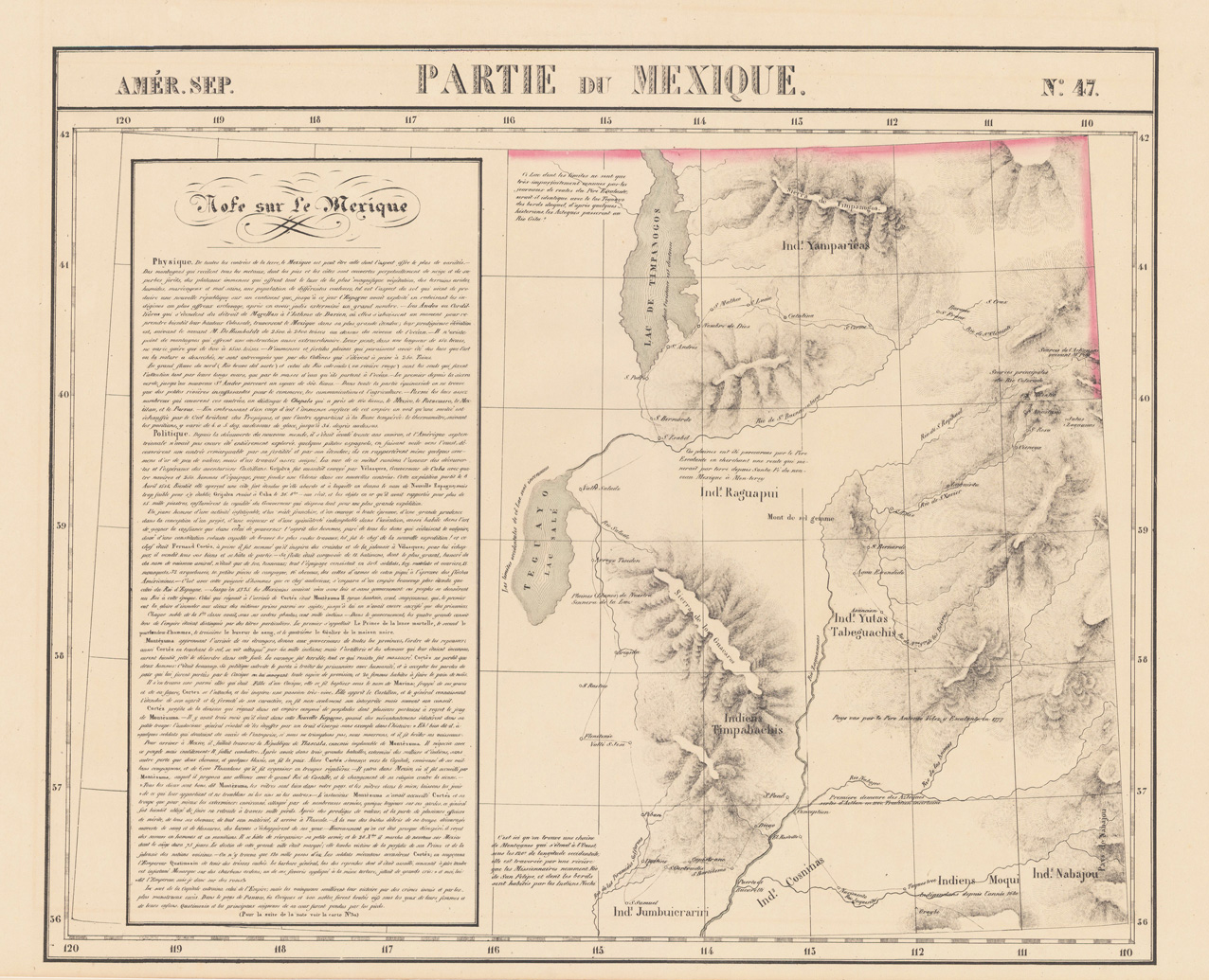
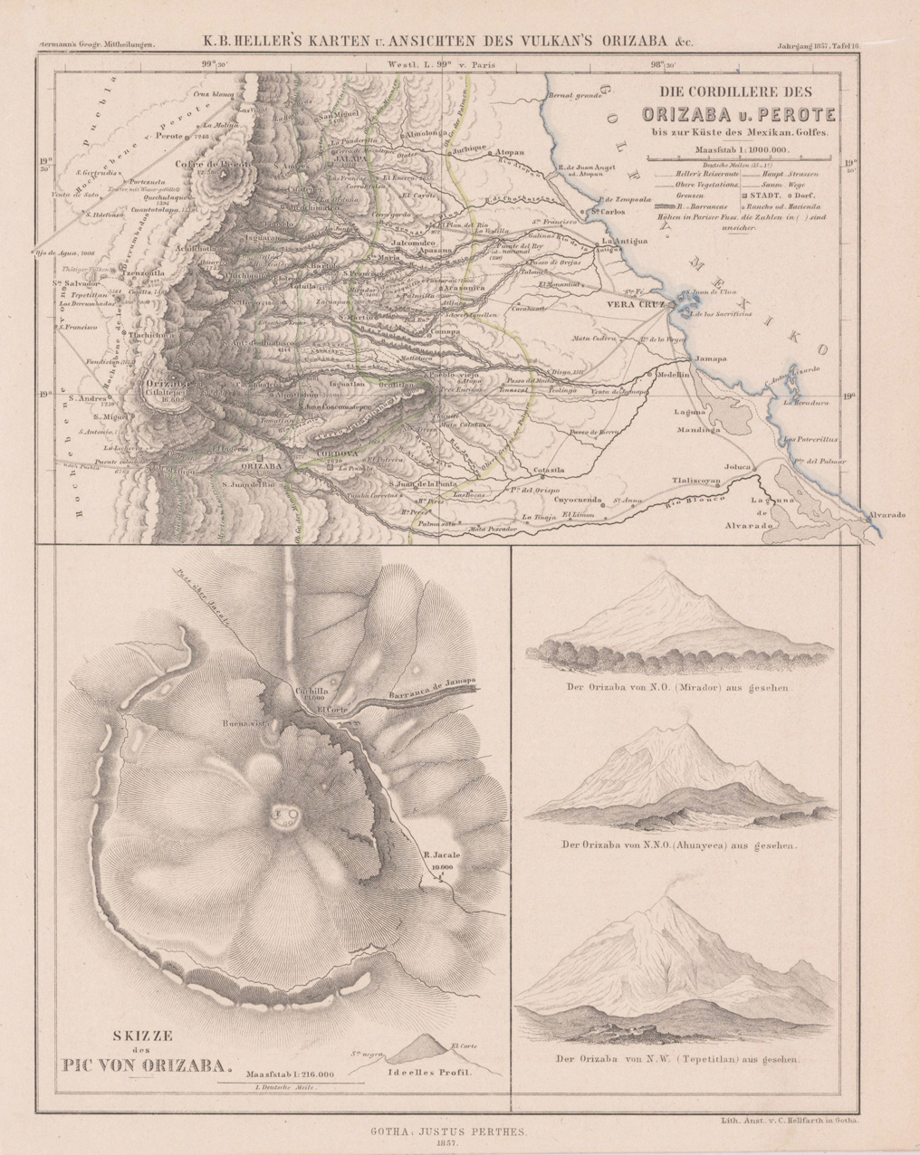
Lithograph, original hand colored in outline. The map is detailed showing the coastline from Barra de Santander over Vera Cruz towards Pres de S. Felipe. Detailed map, which shows as well partially the inland. Smaller villages and rivers are named.
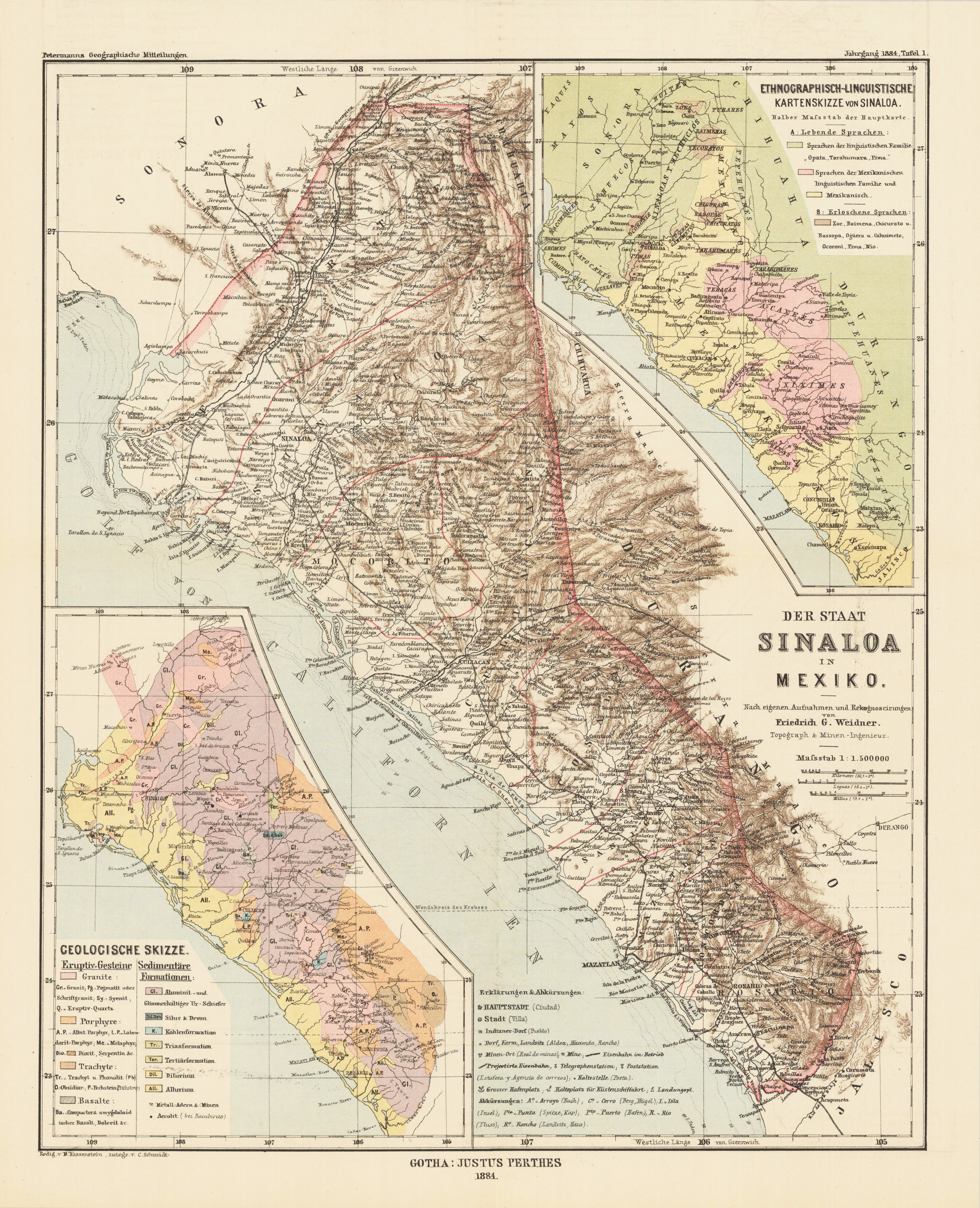
Lithograph, original color in outline and wash. The detailed map depicts the state Sinaloa in Mexico with one ethnological and one geological inset map in the corner.
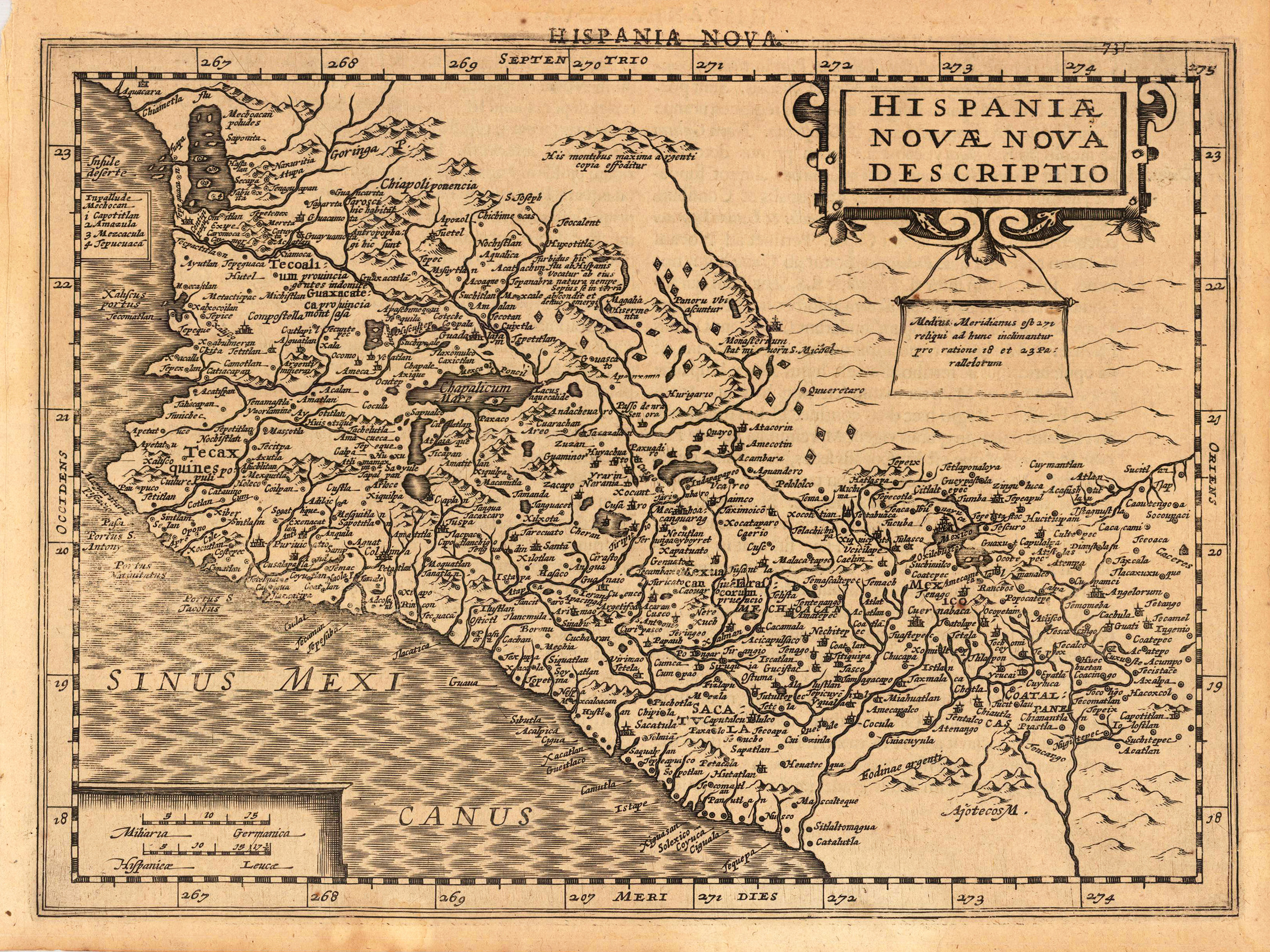
Original antique copper engraving, uncolored as published. A fine copy in a dark impression, full margins as published. The map shows the south west part of Mexico. This is the first so-called Cloppenburgh editions which was a competive edition with new engraved maps in a larger format. Most of the maps were engraved by Pieter van den Keere. The Cloppenburgh edition was continued for a couple of years but seems to have been suppressed after 1636 ... . This is another Cloppenburgh edition, now with Latin text. The maps from the Appendix have been incorporated. The title-page is followed by a dedication to Prince Frederik Hendrik, dated 1632 and signed by Johannes Cloppenburgh. (Koeman Atlantes Neerlandici). Gerardus Mercator (5 March 1512 – 2 December 1594) was a 16th-century geographer, cosmographer and cartographer from the County of Flanders. He is most renowned for creating the 1569 world map based on a new projection which represented sailing courses of constant bearing (rhumb lines) as straight lines—an innovation that is still employed in nautical charts. Mercator was one of the pioneers of cartography and is widely considered the most notable figure of the school in its golden age (approximately 1570s–1670s). In his own day, he was a notable as maker of globes and scientific instruments. In addition, he had interests in theology, philosophy, history, mathematics and geomagnetism. He was also an accomplished engraver and calligrapher. Unlike other great scholars of the age he travelled little and his knowledge of geography came from his library of over one thousand books and maps, from his visitors and from his vast correspondence (in six languages) with other scholars, statesmen, travellers, merchants and seamen. Mercator's early maps were in large formats suitable for wall mounting but in the second half of his life, he produced over 100 new regional maps in a smaller format suitable for binding into his Atlas of 1595. This was the first appearance of the word Atlas in reference to a book of maps. However, Mercator used it as a neologism for a treatise (Cosmologia) on the creation, history and description of the universe, not simply a collection of maps. He chose the word as a commemoration of the Titan Atlas, "King of Mauretania", whom he considered to be the first great geographer. A large part of Mercator's income came from sales of his terrestrial and celestial globes. For sixty years they were considered the finest in the world, and were sold in such great numbers that there are many surviving examples. This was a substantial enterprise involving the manufacture of the spheres, printing the gores, building substantial stands, packing and distributing all over Europe. He was also renowned for his scientific instruments, particularly his astrolabes and astronomical rings used to study the geometry of astronomy and astrology. Mercator wrote on geography, philosophy, chronology and theology. All of the wall maps were engraved with copious text on the region concerned. As an example the famous world map of 1569 is inscribed with over five thousand words in fifteen legends. The 1595 Atlas has about 120 pages of maps and illustrated title pages but a greater number of pages are devoted to his account of the creation of the universe and descriptions of all the countries portrayed. His table of chronology ran to some 400 pages fixing the dates (from the time of creation) of earthly dynasties, major political and military events, volcanic eruptions, earthquakes and eclipses. He also wrote on the gospels and the old testament. Mercator was a devout Christian born into a Catholic family at a time when Martin Luther's Protestantism was gaining ground. He never declared himself as a Lutheran but he was clearly sympathetic and he was accused of heresy by Catholic authorities; after six months in prison he was released unscathed. This period of persecution is probably the major factor in his move from Catholic Leuven (Louvain) to a more tolerant Duisburg, in the Holy Roman Empire, where he lived for the last thirty years of his life. Walter Ghim, Mercator's friend and first biographer, describes him as sober in his behaviour, yet cheerful and witty in company, and never more happy than in debate with other scholars. Above all he was pious and studious until his dying days. (Wikipedia)
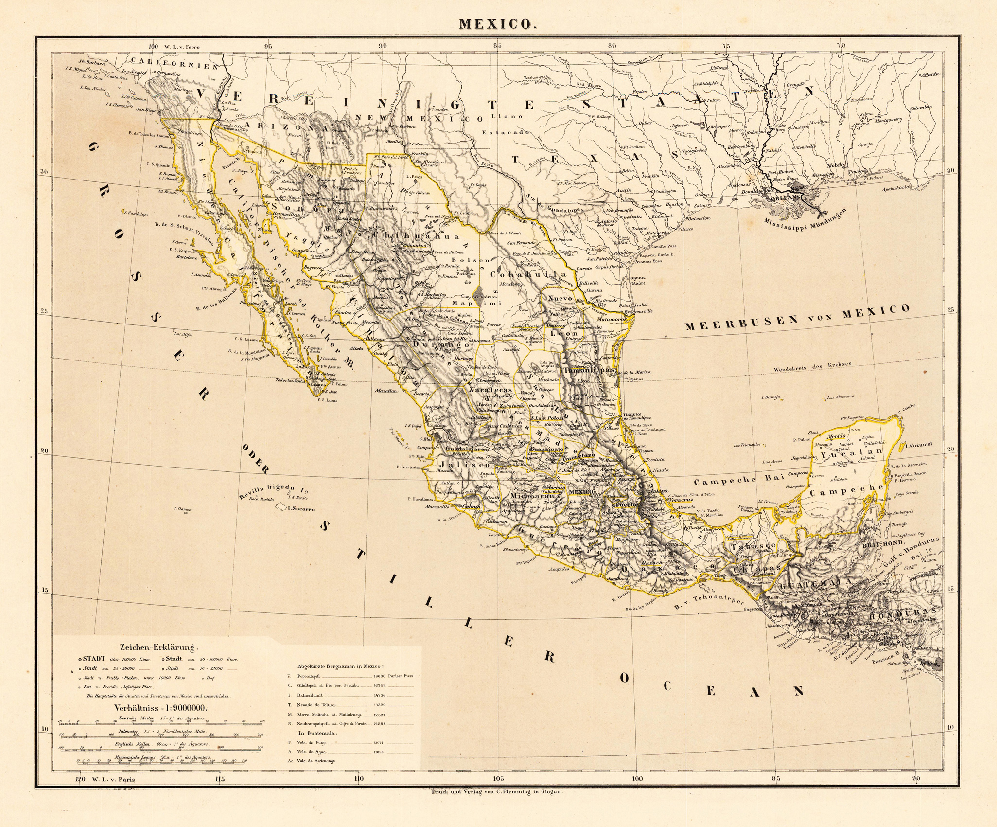
Lithograph, original hand color in outline. Decorative territorial map showing the Southwest of the United States with Mexico, Baja California and the neighboring states Arizona, New Mexico and Texas. The map extends in the South towards Yucatan, Guatemala and Honduras. A interesting map by the famous German cartographer and publisher Carl Flemming from Glogau published in his edition of 1881.
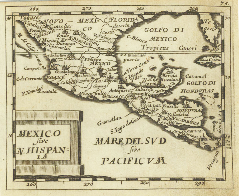
Original copper engraving, uncolored. Published in Pierre Du Val's atlas ,Anderer Theil der allgemeinen Weltbeschreibung von Europa' (German edition Nürnberg at Johann Hoffmann & Christoph Gerhard.
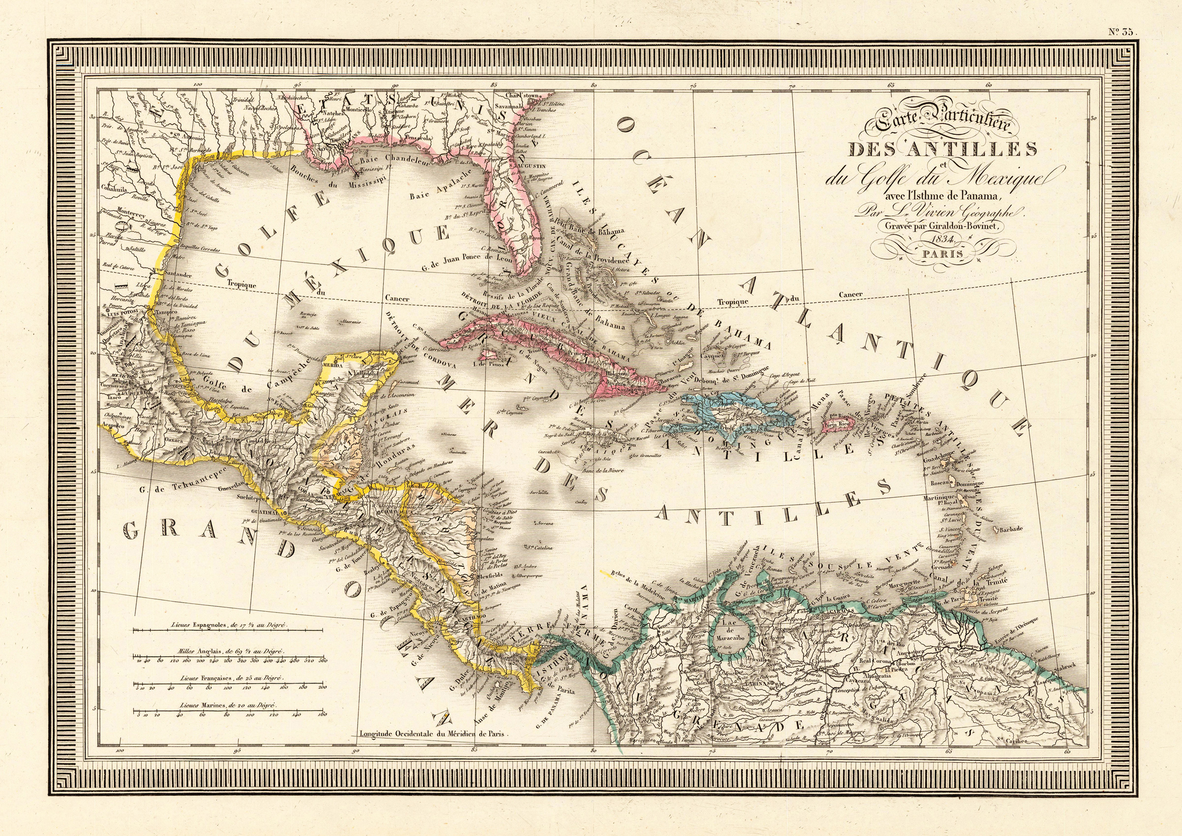
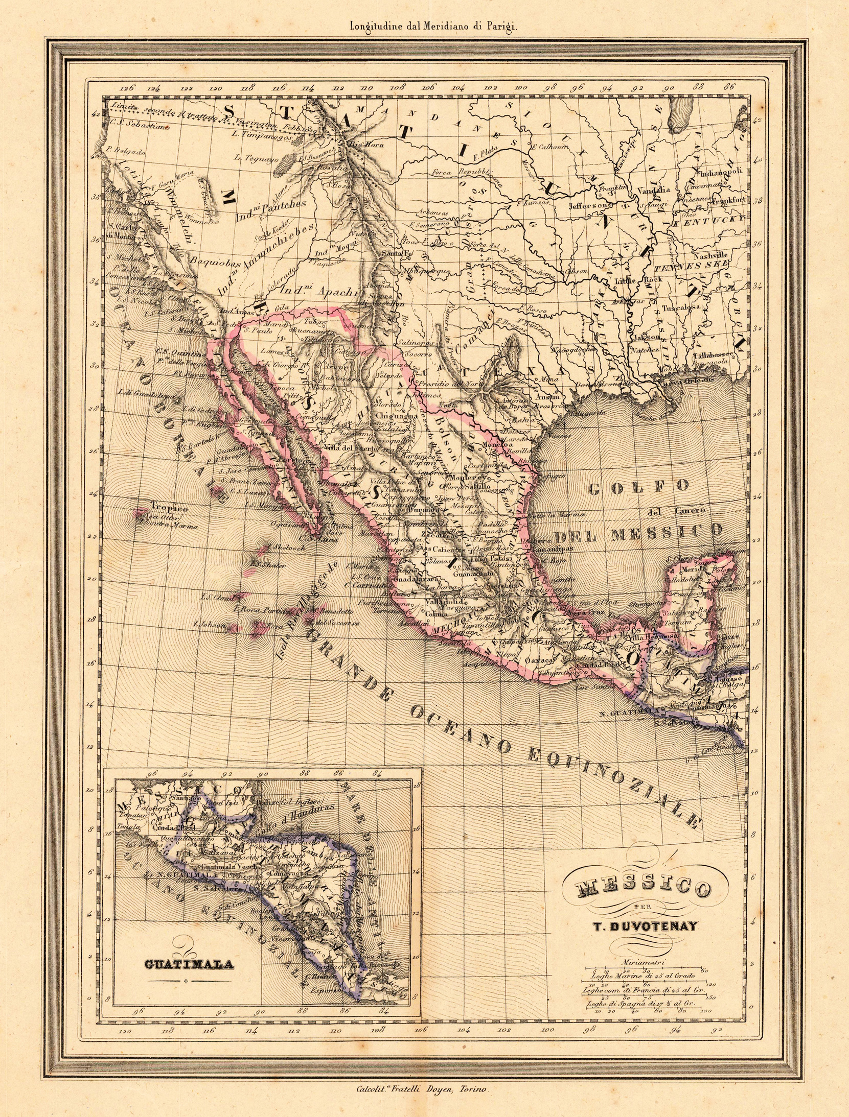
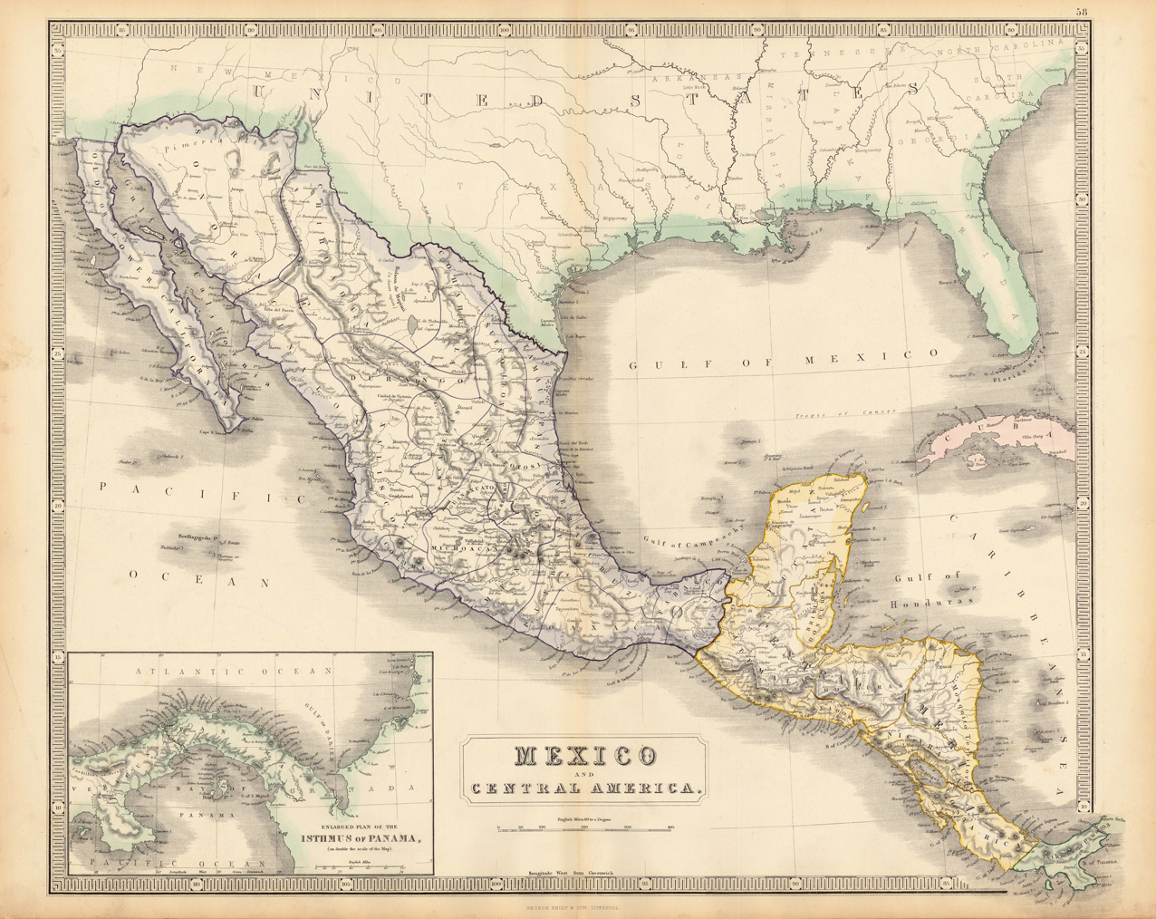
Lithograph, original color in outline and wash. Decorative double page hand colored map, showing decorative in a large scale Mexico and Central America with the neighboring United States and Texas. In the lower left corner a inset map of the Isthmus of Panama. Hand colored decorative in outline, lower left corner of the double page map with an old, nearly not visible, fold.
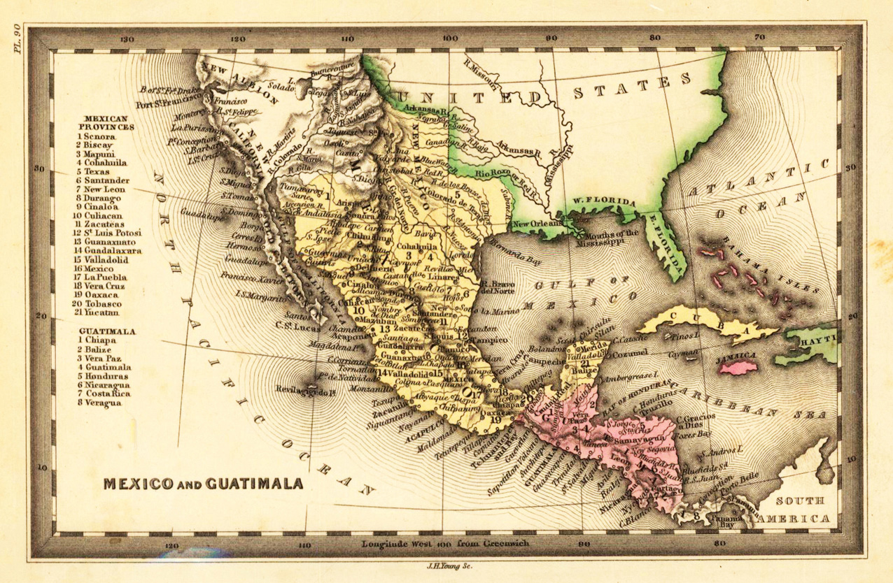
Steel engraving, hand colored in outline and wash when published. This fine small engraved old map shows Mexico and Guatimala. This rare antique original map was published by Carey & Lea in Philadelphia in a small pocket atlas. Detailed engraved with place names, rivers and mountain chains.
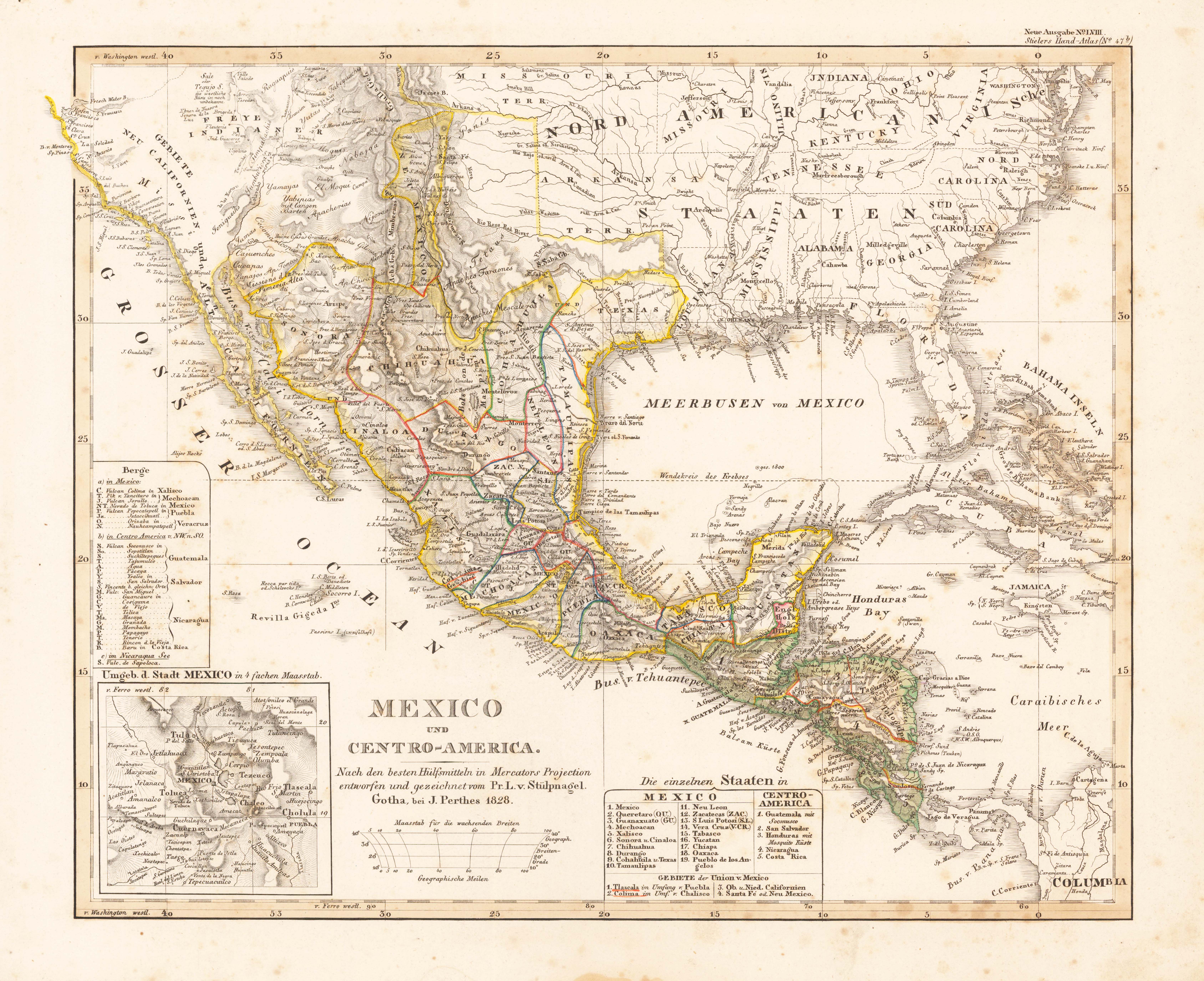
Original antique steel engraving, original color. Steel-engraved map, colored in outline, as published. In the under left corner a small inset map with the surroundings of the city of Mexico. A highly detailled map providing a lot of information on small villages and place names, rivers, lakes, mountains, etc.
Steel engraving, hand colored in outline when published. Engraved by A. Plath. This decorative map includes three inset maps of the projection Honduras Railway, the surrounding of Mexico and the Rhede of Vera-Cruz.
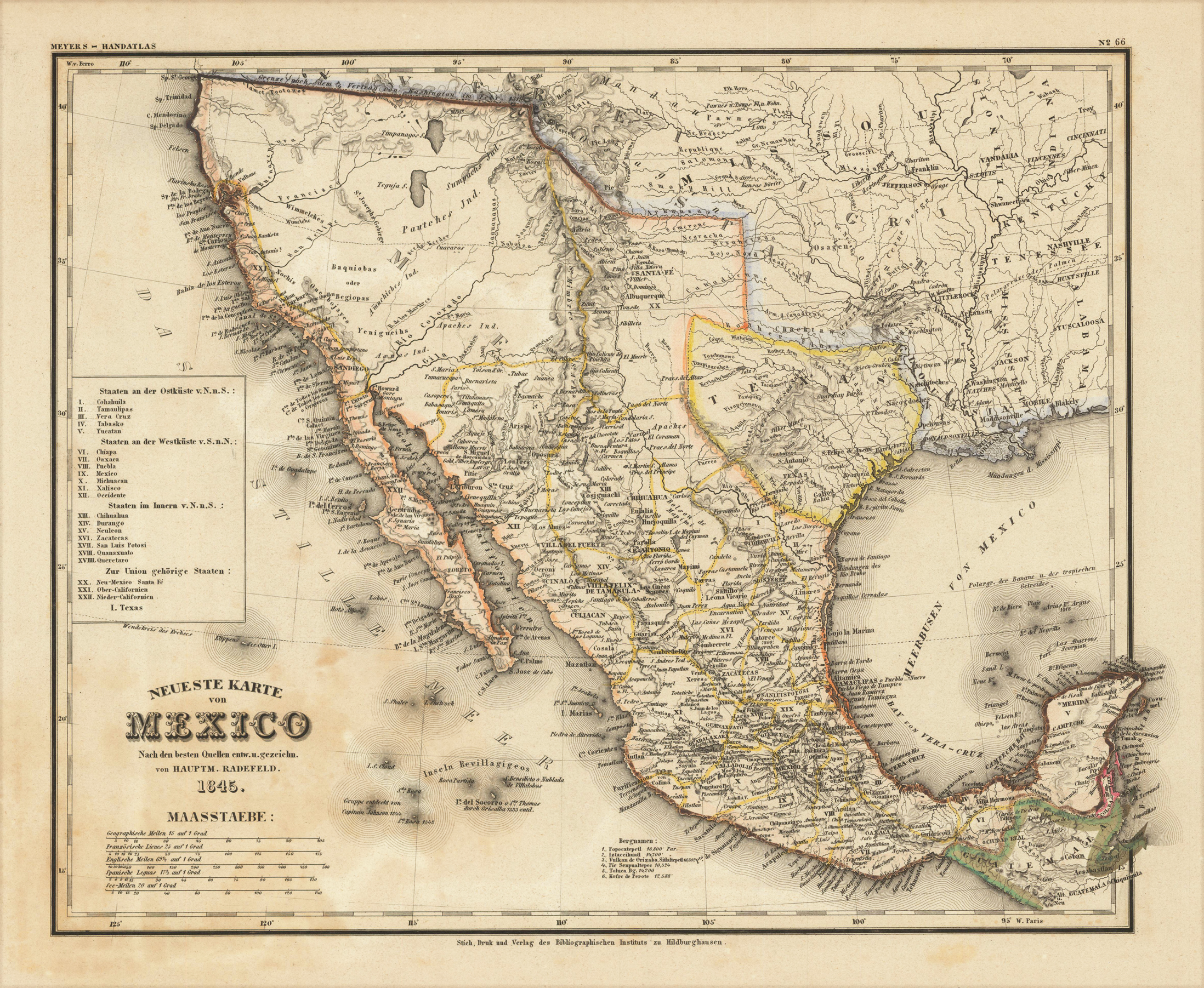
Steel engraving, hand colored in outline when published. A highly detailed map showing Mexico and Texas in 1845. The interesting antique map is equipped with many details as place names, engraved rivers, lakes and mountains. The map extends from Guatemala towards north of San Francisco. At the left side is a small engraved table with a listing of the various states and their political belongings. New Mexico with Santa Fe, Upper and Lower California is belonging to the Union. This map was published in the so-called ,Zeitungsatlas', which is famous because of the great details of the various US maps, which were included in this atlas. Most of these maps were based on the cartographic information by Tanner and were updated with German geographic sources.
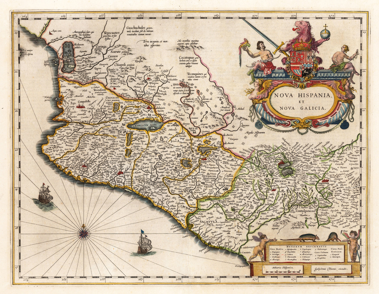
Copper-engraving, hand colored when published. An highly decorative antique map, which shows 'Nova Hispania' (Mexico) in the first half of the 17th century. Due of the influence of the Spanish explorers in Mexico the map is very detailed and provides a lot of information on small place names, towns, rivers, lakes, missions and monasteries. The map has a wonderful title cartouche in the right upper side, figurative ornated with a lion sitting behind the coat of arms of Nova Hispania. At the bottom a mileage scale held by two cherubs with a table of explanations. In the ocean are two ships and a compass rose.