
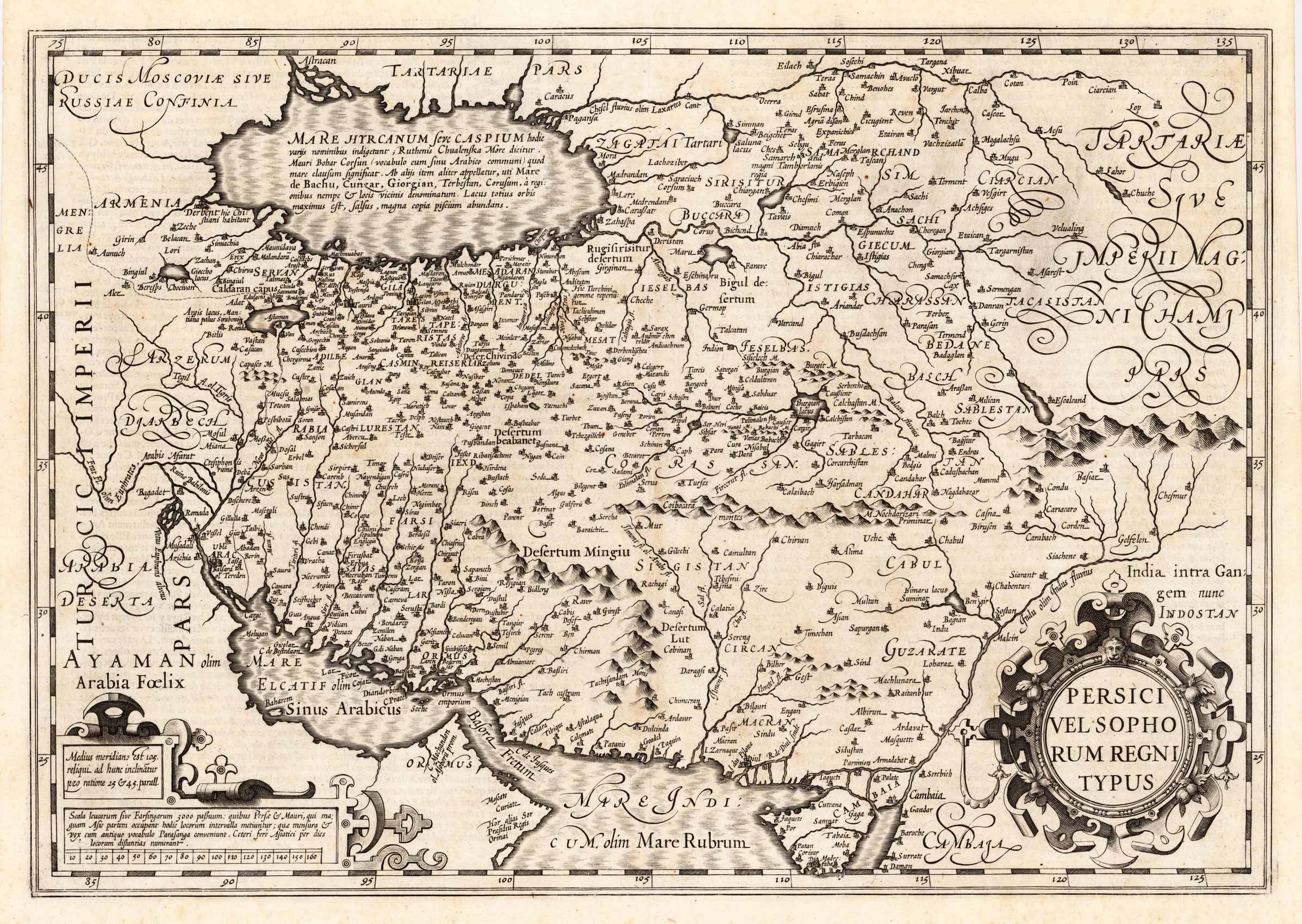
Persici Vel Sophorum Regni Typus
Product information: Persici Vel Sophorum Regni Typus
Copper engraving, uncolored as published. Published in the French text edition of the atlas by Gerard Mercator 1619 in Amsterdam. An early 17th century antique map depicting the kingdom of Persia around 1619. With many engraved place names, mountains, rivers, lakes, etc. The names of individual regiones are also given on the map. The map extends extends from the north with the Caspian Sea towards the strait of Hormuz and the Red Sea in the south. Equipped with a large decorative renaissance title cartouche and a cartouche with a mileage scale.
Properties
| Category: | Persia |
|---|---|
| Issue date: | 1619 |
| Published place: | Amsterdam |
| Publisher: | Gerard Mercator |
| Technique: | Copper engraving / Uncolored |
| Type: | Antique Map, map |