
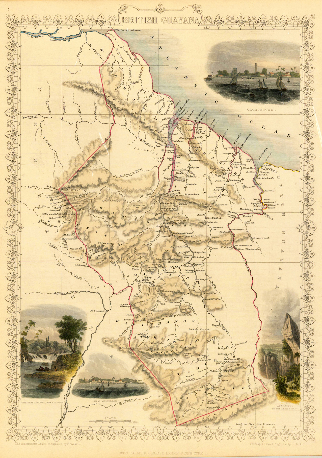
Product information: British Guayana
Steel engraving, hand colored in outline and wash. A decorative antique map of British Guayana with many details. We do find engraved place names, rivers, lakes and mountains. The map is decorated with four finely hand colored engraved vignettes: of the river Berbice, Ataraipu or the Devil's Rock and Georgetown. The actual map was drawn and engraved by J. Rapkin. The illustrations were engraved by various artists: R. Radclyffe, W. Lacy, J. Rogers, J. H. Kernot, J. B. Allen, T. Fleming, H. Winkles, R. Baker after drawings by H. Warren, H. Winkles and H. Wray.
Properties
| Category: | British Guayana |
|---|---|
| Issue date: | 1851 |
| Published place: | London & New York |
| Publisher: | John Tallis & Company |
| Technique: | Steel engraving, hand colored. |
| Type: | Antique Map, map |