
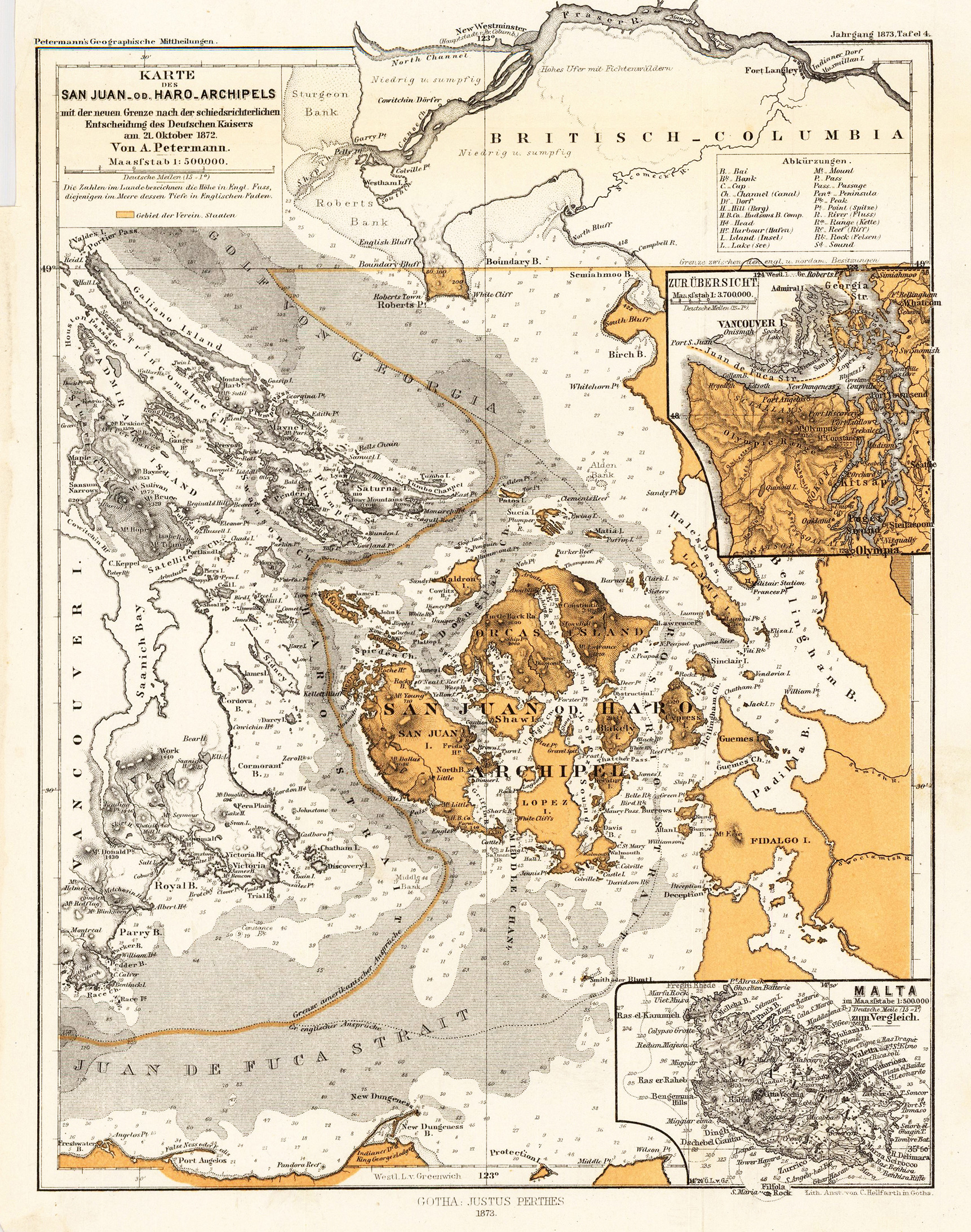
Karte des San Juan-od. Haro-Archipels. Mit der neuen Grenze nach der schiedsrichterlichen Entscheidung des Deutschen Kaisers am 21. Oktober 1872. Von A. Petermann.
Product information: Karte des San Juan-od. Haro-Archipels. Mit der neuen Grenze nach der schiedsrichterlichen Entscheidung des Deutschen Kaisers am 21. Oktober 1872. Von A. Petermann.
Lithograph, original color as published. Detailed map of the San-Juan or Haro-Archipel. The de Haro-Strait divides San-Juan Island from Vancouver Island. Nice and detailed interesting antique map for the collector of the Northwest.
Properties
| Category: | Haro Strait - Vancouver Island |
|---|---|
| Issue date: | 1873 |
| Published place: | Gotha |
| Publisher: | Justus Perthes. |
| Technique: | Lithograph / Original color. |
| Type: | Antique Map, map |