
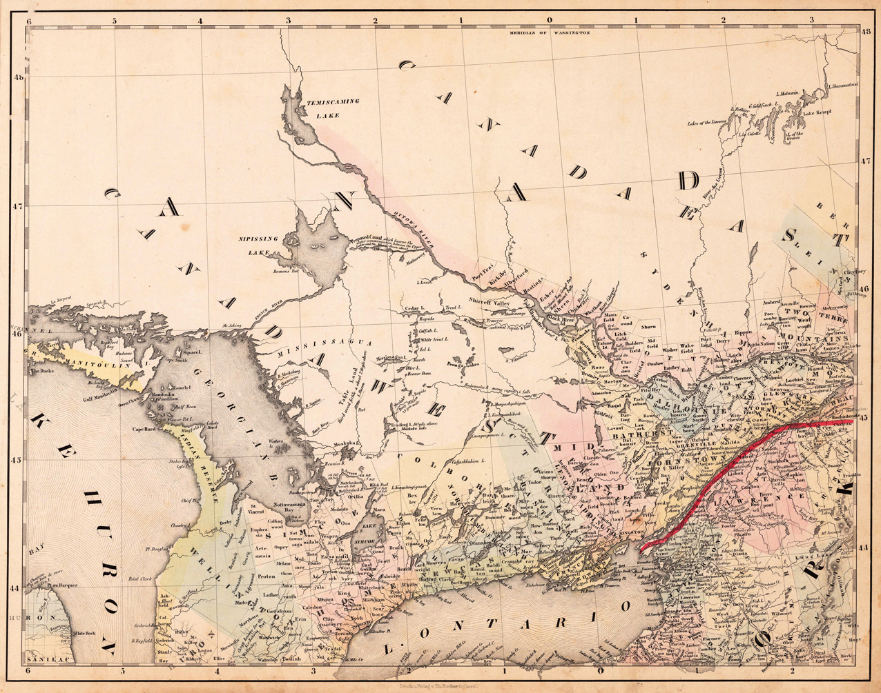
(West Canada, Lake Huron & Lake Ontario)
Product information: (West Canada, Lake Huron & Lake Ontario)
Lithograph, original color in outline and wash. This decorative map shows the region from West Canada, Ottawa River towards East Canada. Detailed information on the map on Lake Ontario, the Georgian Bay, Nipissing Lake, Temiscaming Lake and the Ottawa River. Inside the map are many place names, rivers, lakes, etc. engraved. As well names on Indian tribes are given. This is one sheet (map no 3) of Calvin Smith's famous map of North America. Here is the rare version in lithograph present, published in Cassel in Germany. A splendid detailed map, showing nicely West Canada, Lake Huron and Lake Ontario and adjacenting parts. The map is highly detailed colored in outline and wash by counties and states, many place names, streets or routes, rivers, mountains, etc. are shown. An interesting collector's piece.
Properties
| Category: | Canada |
|---|---|
| Issue date: | 1845 |
| Published place: | Cassel |
| Publisher: | Th. Fischer |
| Technique: | Lithograph / Original color. |
| Type: | Antique Map, map |