
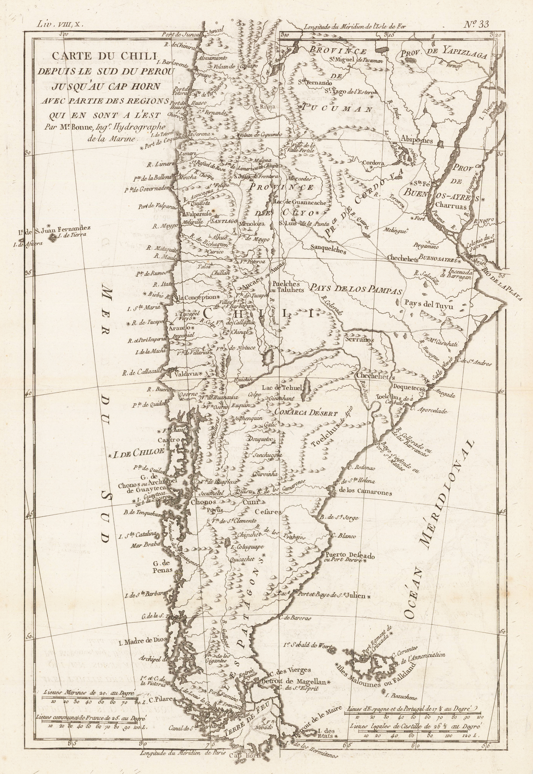
Carte du Chili depuis le Sud du Perou Ju Squ'au Cap horn avec partie des Regions qui en sont a L'Est. Par M. Bonne, Ingr. Hydrographe de la Marine.
Product information: Carte du Chili depuis le Sud du Perou Ju Squ'au Cap horn avec partie des Regions qui en sont a L'Est. Par M. Bonne, Ingr. Hydrographe de la Marine.
Orinigal antique copper engraving, uncolored. The decorative map is showing Chili, Patagonia, the Magellan Street and the Falkland Islands. Rigobert Bonne (1727-1794) was a French cartographer of the late 18th century. He studied in Paris and practiced cartography. He became a skilled cartographer and hydrographer and became a royal hydrographer at the ,Depot de la Marine' in 1773. In 1780 he engraved and published the maps for Abbe Raynal's work ,Atlas de Toutes Les Parties Connues du Globe Terrestre'. He also published many charts for the ,Depot de la Marine', further he engraved the maps for the ,Atlas Encyclopedique' in 1788 together with Nicholas Desmarest.
Properties
| Category: | Chile |
|---|---|
| Issue date: | 1780 |
| Published place: | Paris |
| Publisher: | M. Bonne |
| Technique: | Copper engraving / later hand color |
| Type: | map |