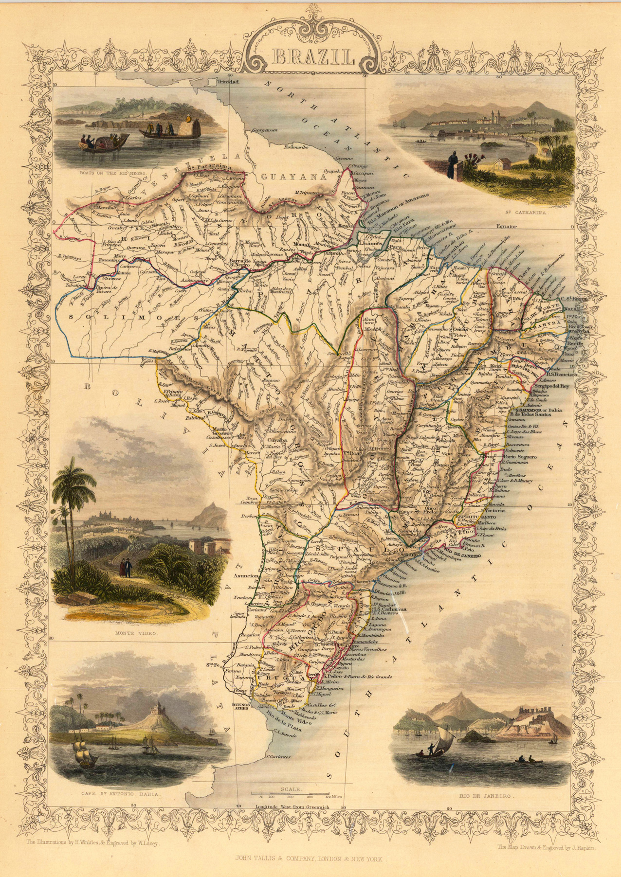
Steel engraving, hand colored in outline and wash. The fine engraved map is showing Brazil with many details, the South Atlantic Ocean and the North Atlantic Ocean. The map is decorated with five finely hand colored engraved vignettes: boats on the Rio Negro, Cape St. Antonio Bahia, city views from St. Catharina, Rio de Janeiro and Monte Video. The actual map was drawn and engraved by J. Rapkin. The illustrations were engraved by various artists: R. Radclyffe, W. Lacy, J. Rogers, J. H. Kernot, J. B. Allen, T. Fleming, H. Winkles, R. Baker after drawings by H. Warren, H. Winkles and H. Wray.
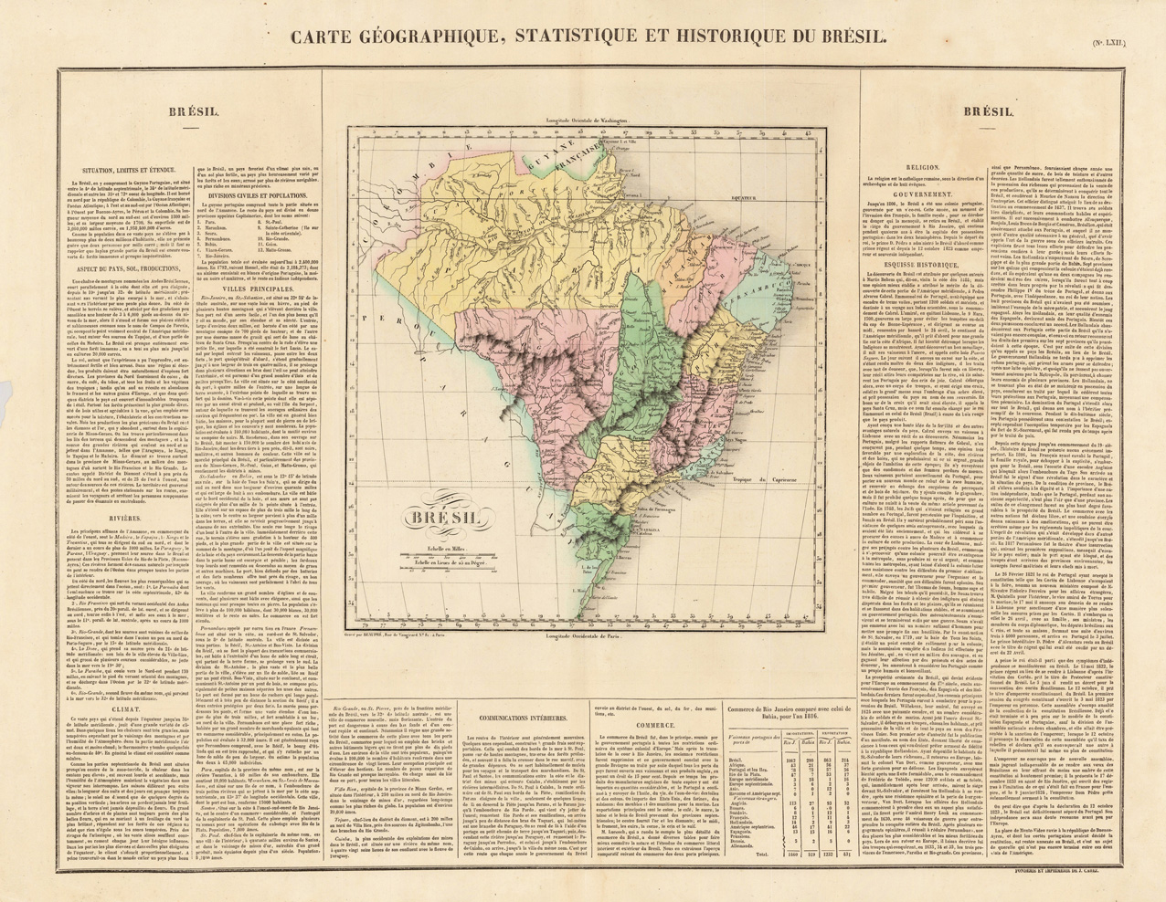
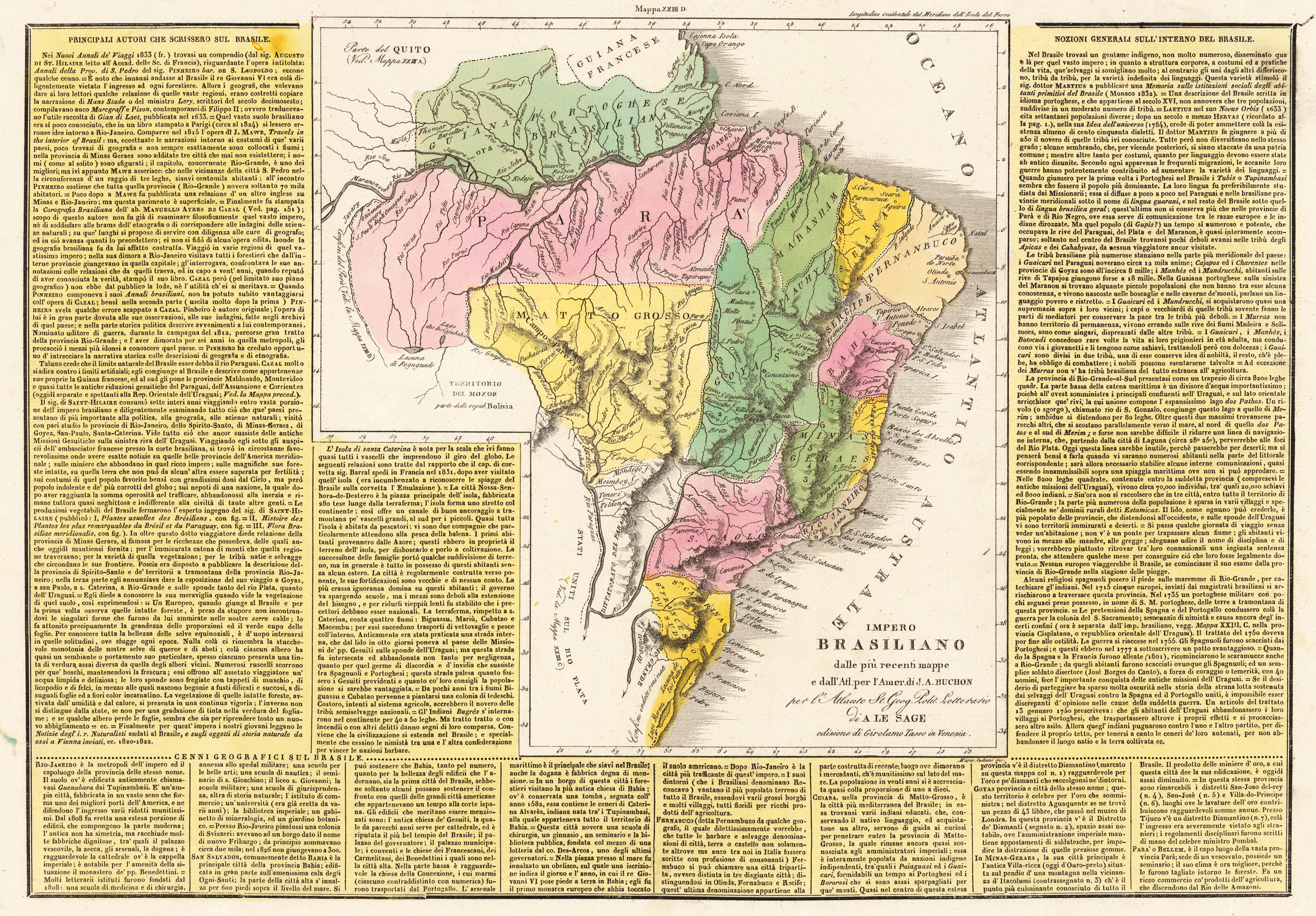
Fine engraved map of Brazil, divided in its various regions. With many place names, rivers and mountains. The map is surrounded by descriptive text on Brazil, providing information on the climate, the rivers, cities and its history. French edition of the 1822 in Philadelphia published map by Carey & Lea. The map was engraved by B. de Beaupre.
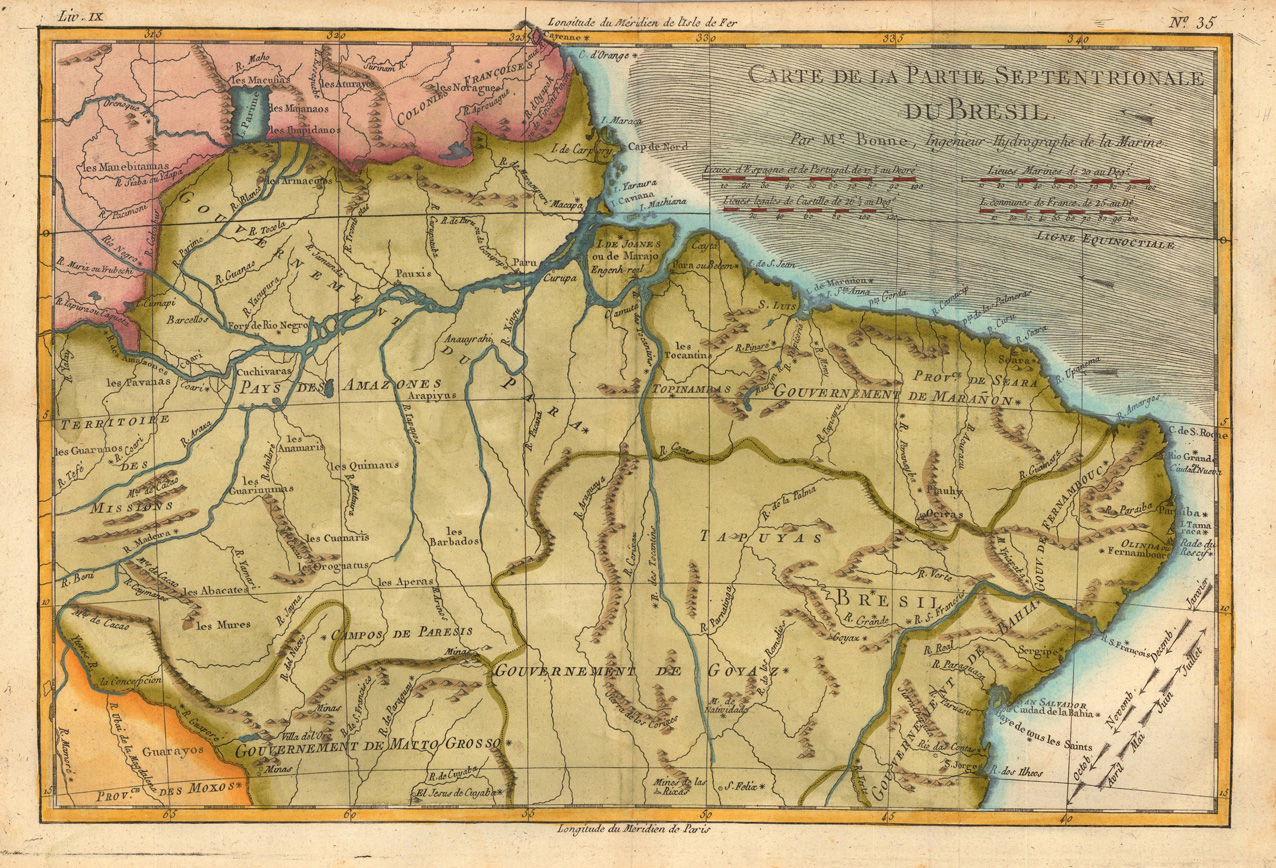
Copper engraving, hand colored in outline and wash. Rigobert Bonne (1727-1794) was a French cartographer of the late 18th century. He studied in Paris and practiced cartography. He became a skilled cartographer and hydrographer and became a royal hydrographer at the ,Depot de la Marine' in 1773. In 1780 he engraved and published the maps for Abbe Raynal's work ,Atlas de Toutes Les Parties Connues du Globe Terrestre'. He also published many charts for the ,Depot de la Marine', further he engraved the maps for the ,Atlas Encyclopedique' in 1788 together with Nicholas Desmarest.
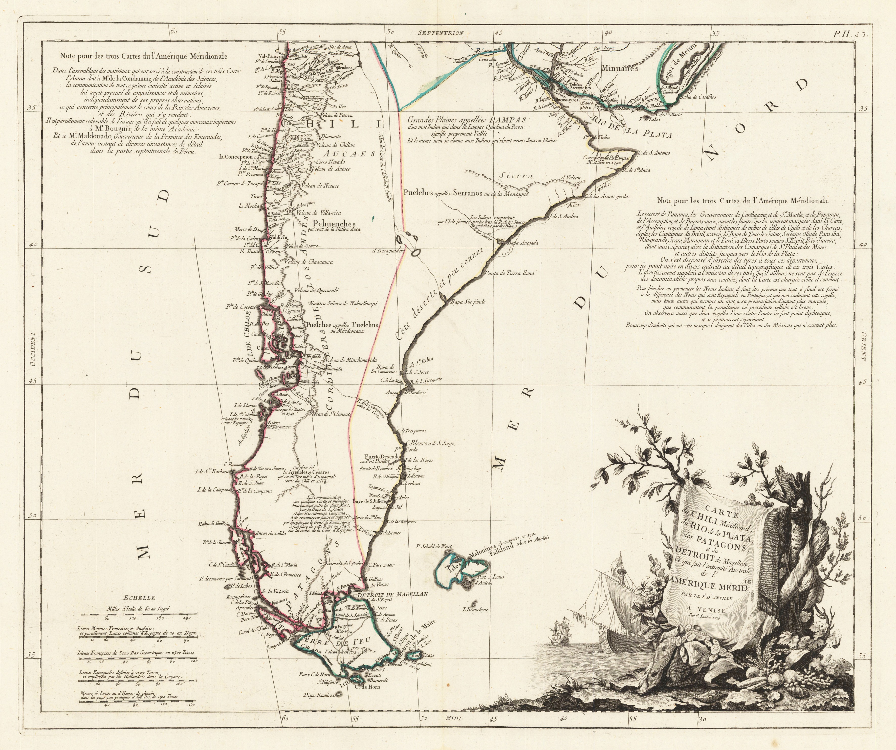
Copper engraving, hand colored in outline. The map first appeared in Santini's Atlas Universel in 1776-79 in Paris. In 1784 Santini sold the plates of the maps to M. Remondini, who published then these maps in Venice with his additional imprint in the title cartouches.
Original woodcut map published in the Ptolemy cosmographia "Geographiae Libri VIII ..." in Basel at Heinrich Petri.Woodcut map, finely hand colored in wash by a later hand. Verso illustrated with a decorative colored woodcut illustration.
Copper engraving, hand colored in outline when published. Fine engraved map of Brazil, divided in its various regions. With many place names, rivers and mountains. The map is surrounded by descriptive text on Brazil, providing information on the climate, the rivers, cities and its history.French edition of the 1822 in Philadelphia published map by Carey & Lea. The map was engraved by B. de Beaupre.
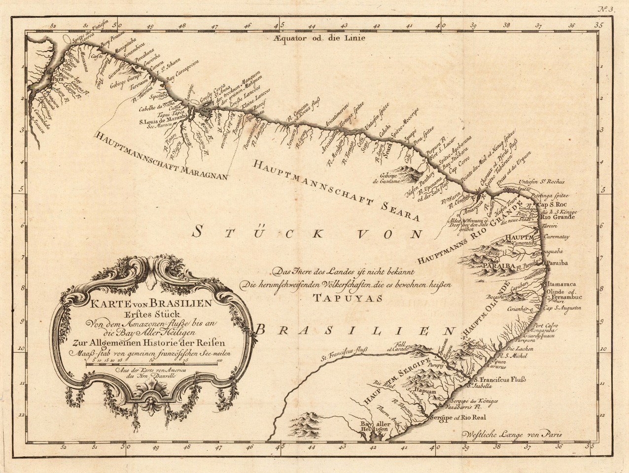
Copper engraving, uncolored as published. Engraved map showing Brazil with its regions Maragnan, Seara, Rio Grande, Olinde and Sergipe. Mainly the land along the coast with place names, rivers and mountains is shown. Detailled and interesting map engraved by Bellin after the earlier map by Anville. A fine detailed and interesting map engraved by Bellin after earlier voyages. Published in the German edition by Schwabe in Leipzig of Bellin's travel books.
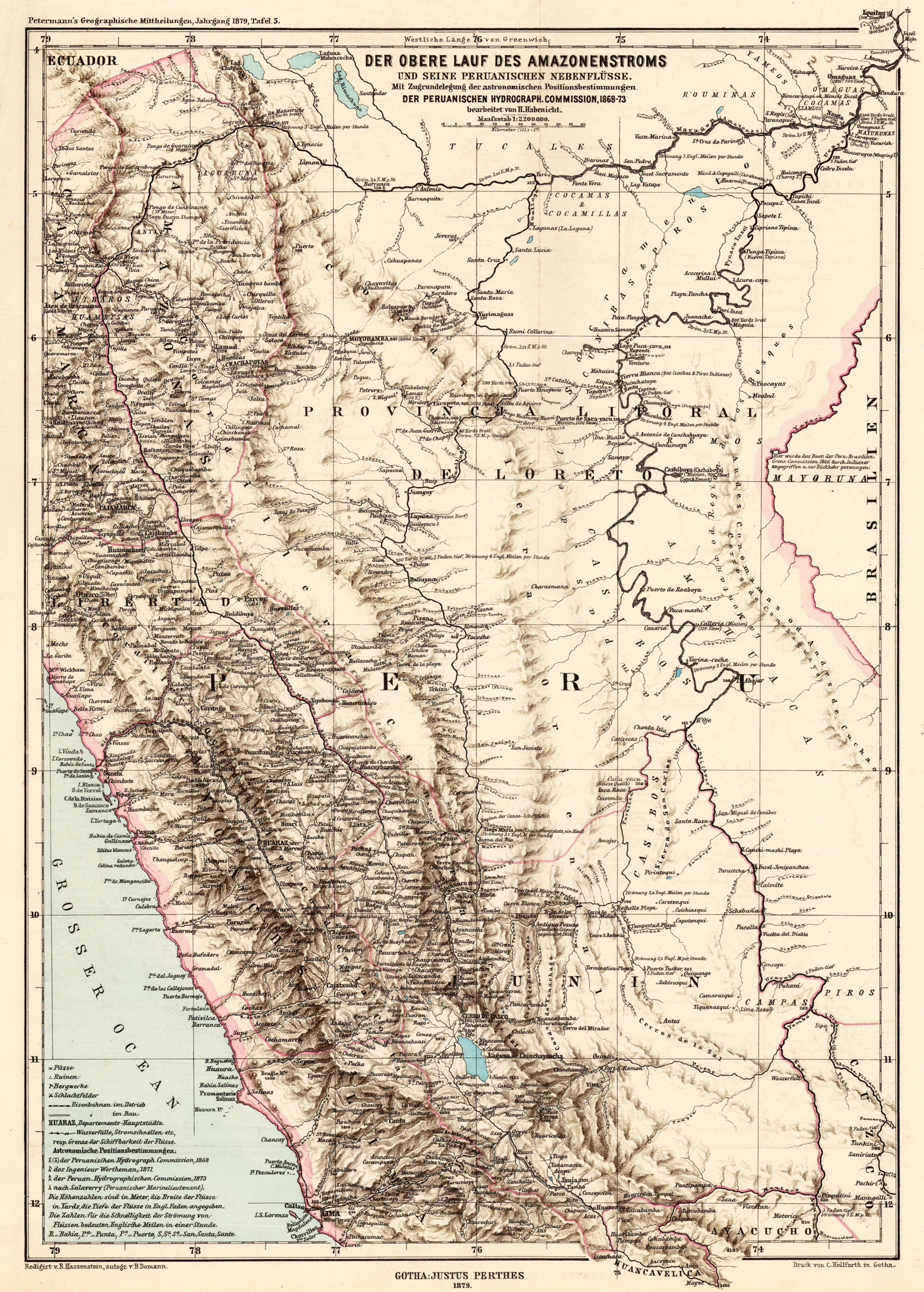
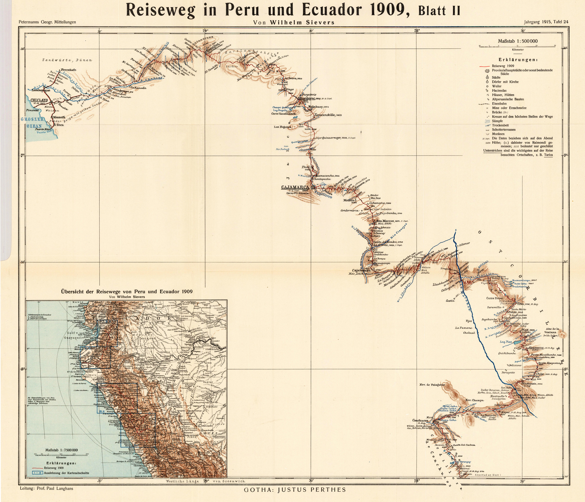
Lithograph, original hand color in outline and partly printed in colors. This decorative map shows the routing in Peru and Ecuador from Wilhelm Sievers. The map is equipped with place names, rivers, lakes etc. An interesting culture historical map.
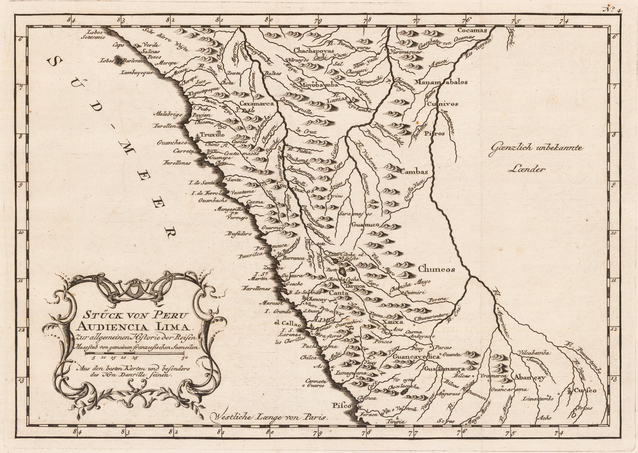
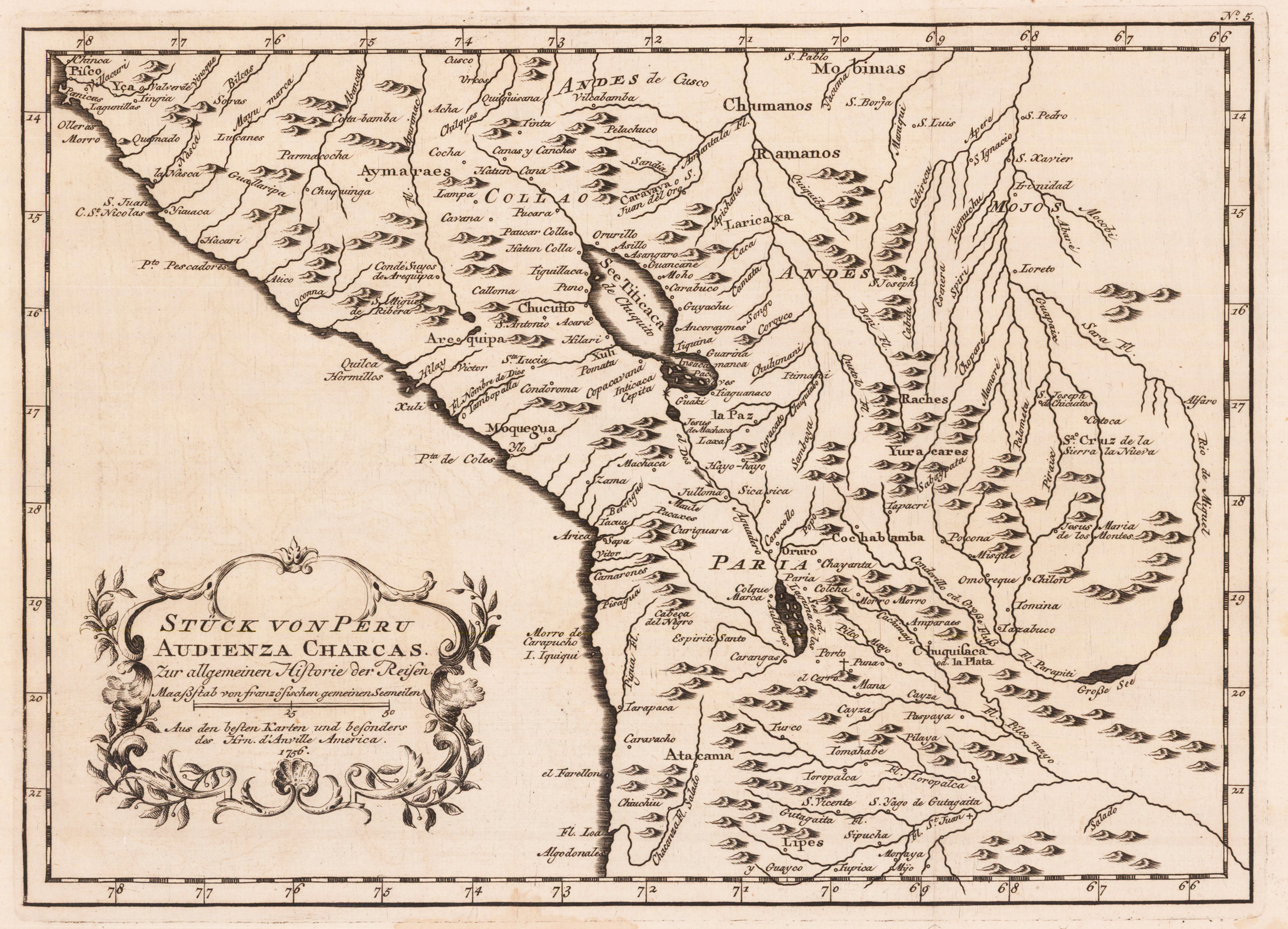
Original antique copper engraving, uncolored as published. A fine detailed and interesting map engraved by Bellin after earlier voyages. Published in the German edition by Schwabe in Leipzig of Bellin's travel books. Jacques Nicolas Bellin (1703 – 21 March 1772) was a French hydrographer, geographer, and member of the French intellectual group called the philosophes. Bellin was born in Paris. He was hydrographer of France's hydrographic office, member of the Académie de Marine and of the Royal Society of London. Over a 50-year career, he produced a large number of maps of particular interest to the Ministère de la Marine. His maps of Canada and of French territories in North America (New France, Acadia, Louisiana) are particularly valuable. He died at Versailles. (Wikipedia)
Copper engraving, uncolored as published. A fine detailed and interesting map engraved by Bellin after earlier voyages. Published in the German edition by Schwabe in Leipzig of Bellin's travel books. Jacques Nicolas Bellin (1703 – 21 March 1772) was a French hydrographer, geographer, and member of the French intellectual group called the philosophes. Bellin was born in Paris. He was hydrographer of France's hydrographic office, member of the Académie de Marine and of the Royal Society of London. Over a 50-year career, he produced a large number of maps of particular interest to the Ministère de la Marine. His maps of Canada and of French territories in North America (New France, Acadia, Louisiana) are particularly valuable. He died at Versailles. (Wikipedia)