
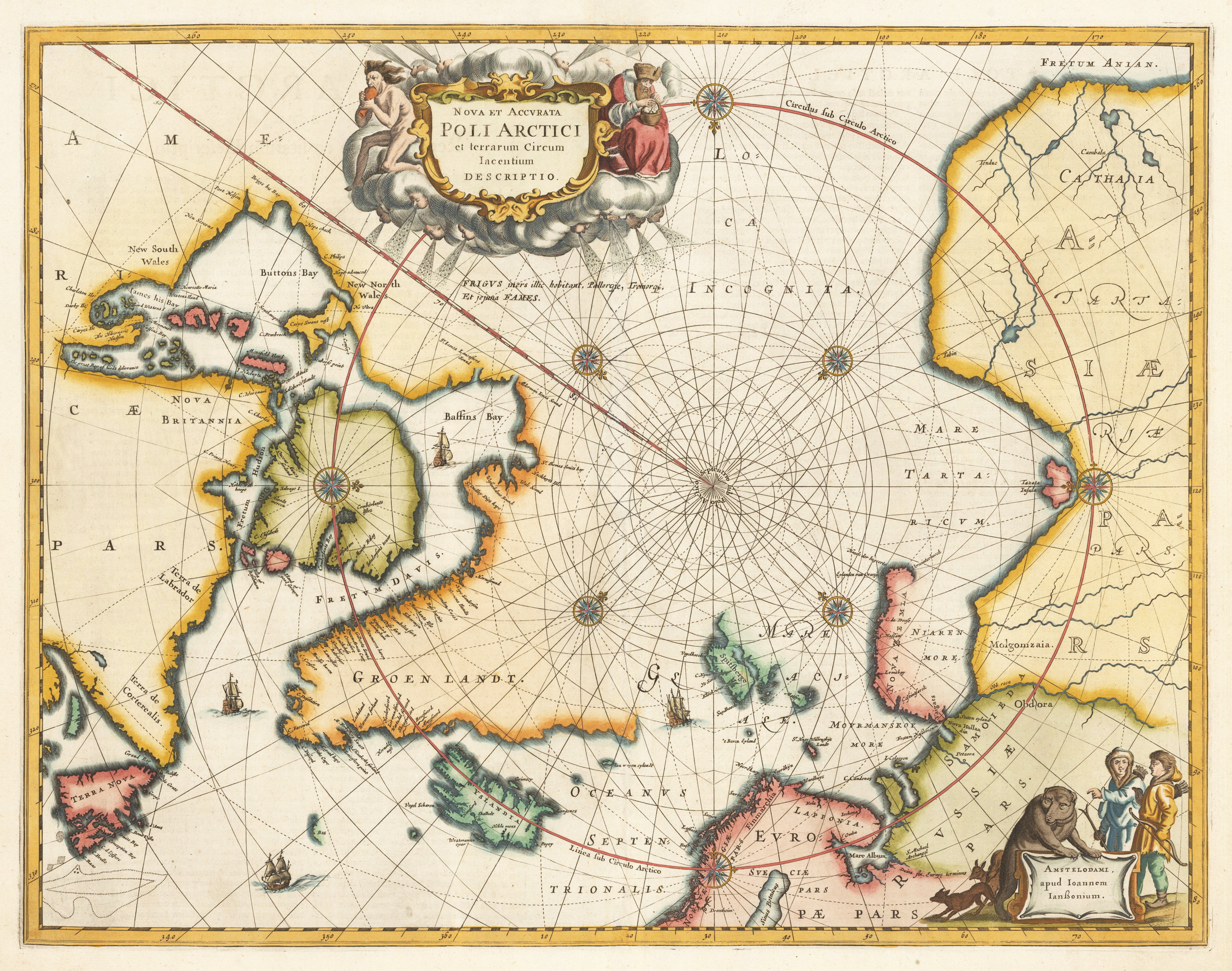
Nova et accurata Poli Arctici et terrarum Circum Iacentium Descriptio
Copper engraving, finely later hand colored in wash and outline. A very good example of Jansson's map of the North Polar regions finely hand colored throughout. The decorative map ornated in the upper part with a large allegoric title cartouche and in the lower right corner with another decorative cartouche with inhabitants and animals. Published in Jansson's Atlas in 1659 (Latin text edition). This is according to Burden the 4th state with ,FRETUM ANIAN' added top right. ,GROEN LANDT' is named and ,AMERICA PARS' is placed in North America. This antique map depicts the North Polar regions, with Arctic North America, Iceland, Scandinavia and parts of northern Asia and Russia. The cartographic sources of this map are based on discoveries of Barentsz, Frobisher, Baffin and others.
| Category: | North Pol |
|---|---|
| Issue date: | 1659 |
| Published place: | Amsterdam |
| Publisher: | Joan Janssonius |
| Technique: | Copper engraving / later hand color |
| Type: | Antique Map |