
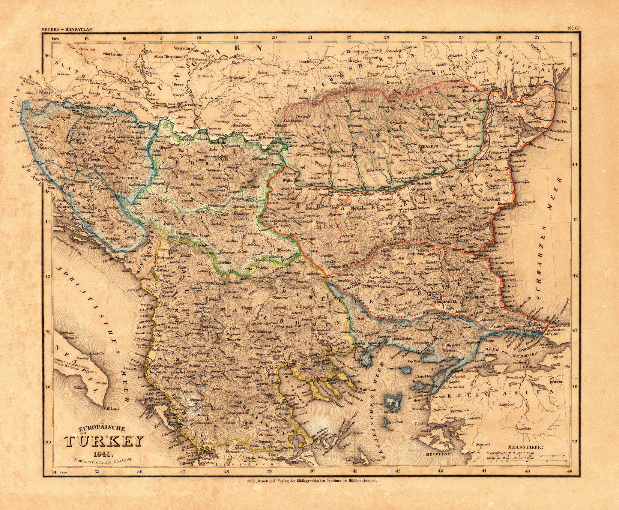
Europäische Türkey 1845. - Entw. u. gez. v. Hauptm. C. Radefeld.
Product information: Europäische Türkey 1845. - Entw. u. gez. v. Hauptm. C. Radefeld.
Steel engraving, hand colored in outline when published. Detailed map of the Balkan, called the 'European Turkey' by Hauptmann Radefeld, published in Meyer's Zeitungsatlas around 1845. The detailed map of Southeast Europe is providing a lot of information on the political divisions and borders, as well a lot of information on place names, mountains and rivers.
Properties
| Category: | Balkan - European Turkey |
|---|---|
| Issue date: | 1845 |
| Published place: | Hildburghausen |
| Publisher: | Bibliograph. Institut |
| Technique: | Steel engraving, original color |
| Type: | Antique Map, map |