
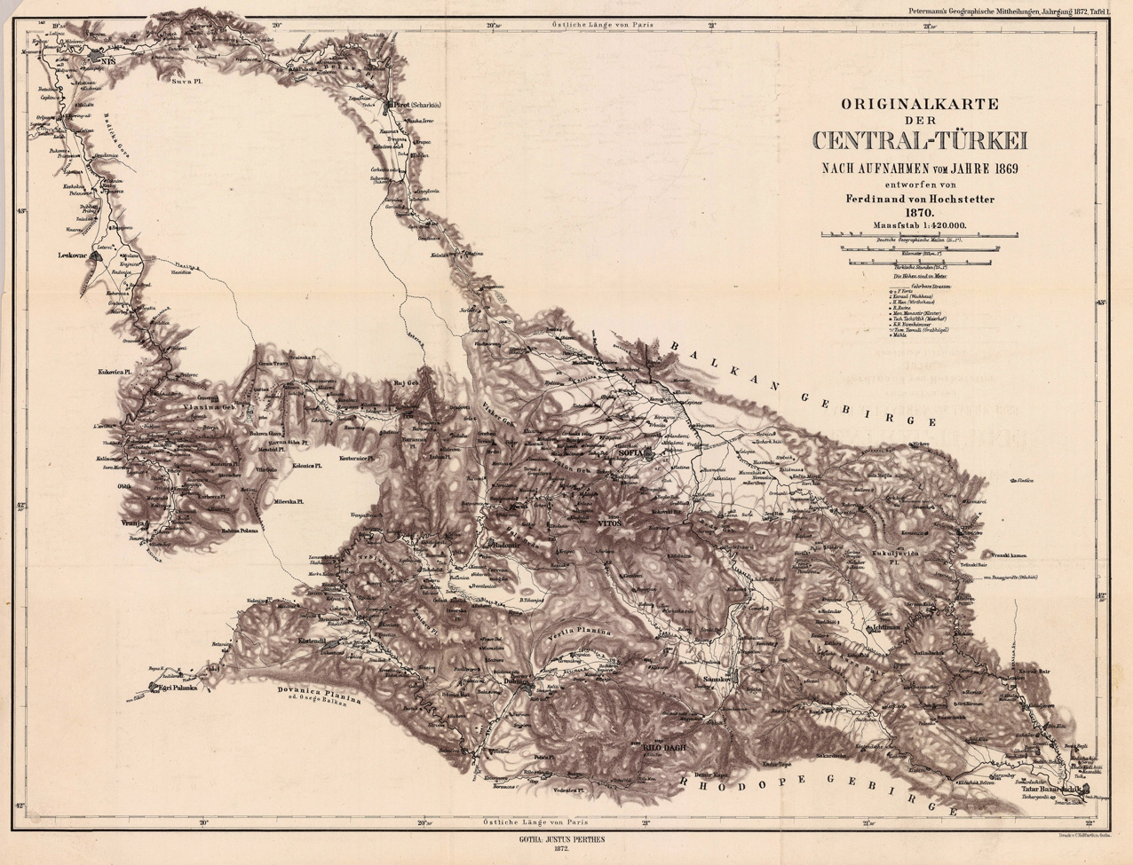
Originalkarte der Central-Türkei - Nach Aufnahmen vom Jahre 1869 entworfen von Ferdinand von Hochstetter 1870.
Product information: Originalkarte der Central-Türkei - Nach Aufnahmen vom Jahre 1869 entworfen von Ferdinand von Hochstetter 1870.
Lithograph, uncolored as published. This antique map shows us detailed the region Nis - Leskovac towards Sofia and Tatar Bazardschik. The interesting map provides many place names of small villages, also rivers and some mountains are engraved. At the upper right corner we find the title and the mileage scale, as well the explanation for the objects of interest, which are engraved shown on the map.
Properties
| Category: | Southeast Europe |
|---|---|
| Issue date: | 1872 |
| Published place: | Gotha |
| Publisher: | Justus Perthes. |
| Technique: | Lithograph, uncolored |
| Type: | Antique Map, map |