
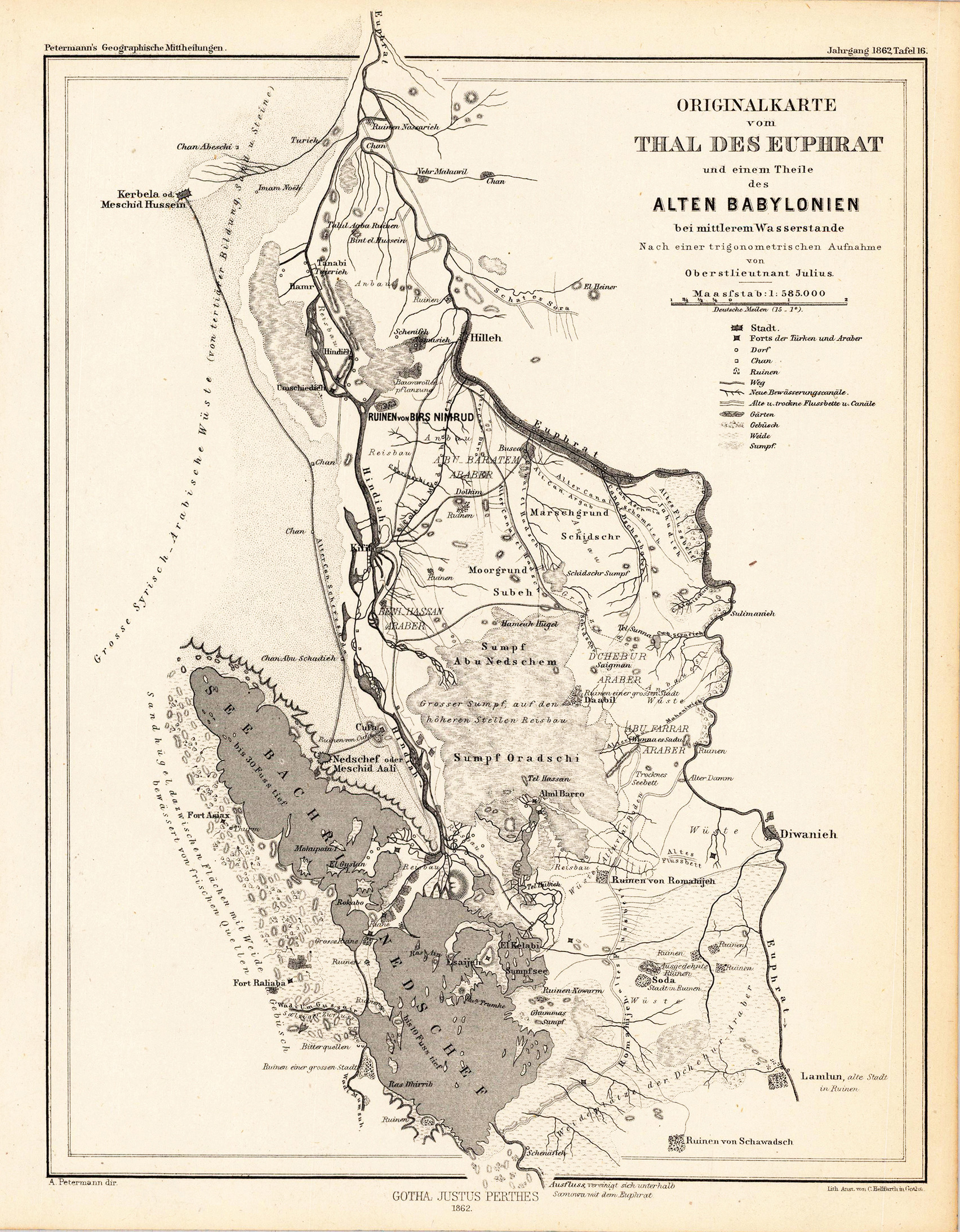
Originalkarte vom Thal des Euphrat und einem Theile des alten Babylonien bei mittlerem Wasserstande. - Nach einer trigonometrischen Aufnahme von Oberstlieutnant Julius.
Product information: Originalkarte vom Thal des Euphrat und einem Theile des alten Babylonien bei mittlerem Wasserstande. - Nach einer trigonometrischen Aufnahme von Oberstlieutnant Julius.
Original lithograph, uncolored as published. Detailled map of the valley of the river Euphrat with a part of the old Babylonia. The detailled map provides information on the old river system, lakes and antique ruins.
Properties
| Category: | Eufrat Valley & Babylonia |
|---|---|
| Issue date: | 1862 |
| Published place: | Gotha |
| Publisher: | Justus Perthes. |
| Technique: | Copper engraving / Uncolored |
| Type: | Antique Map, map |