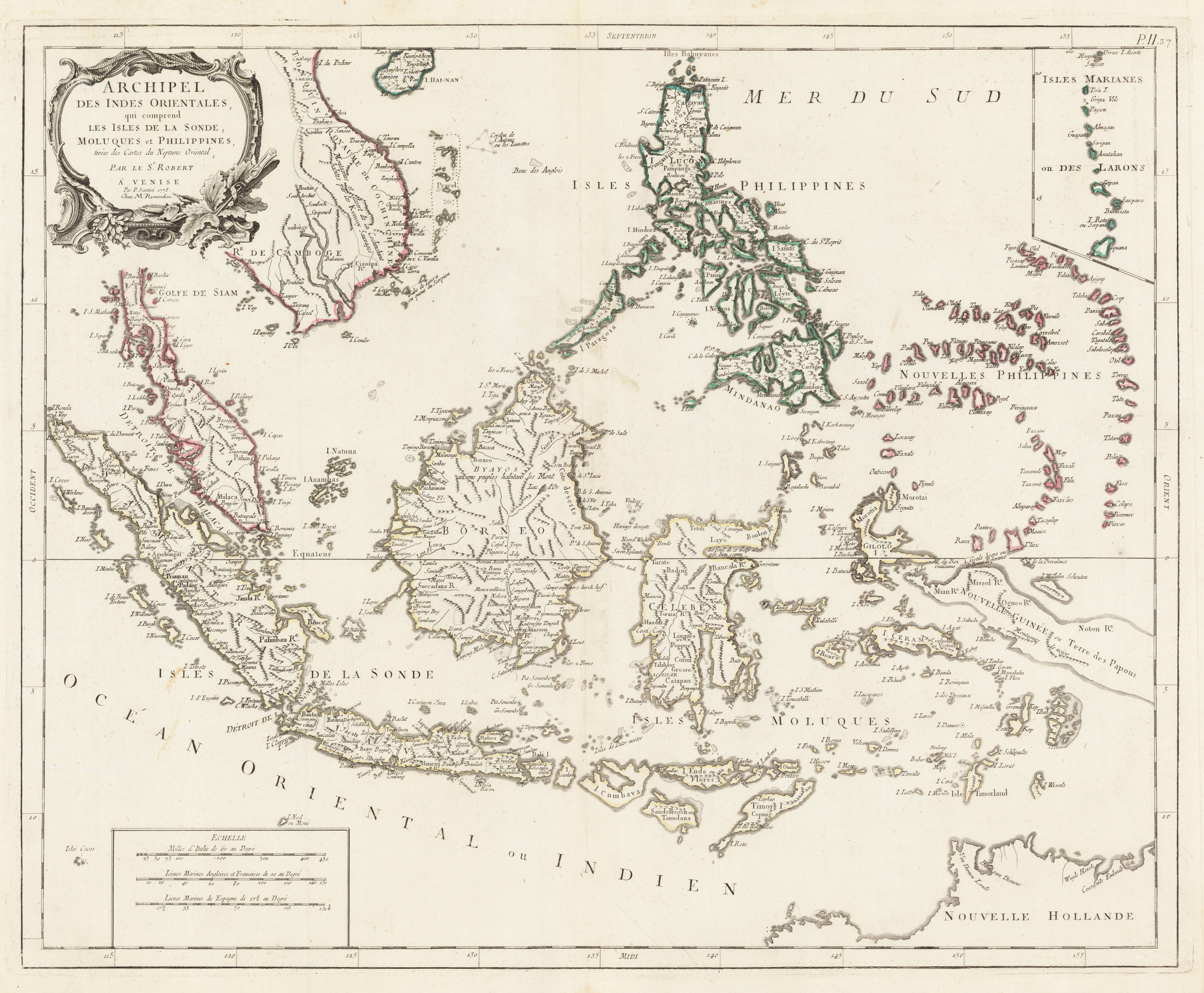
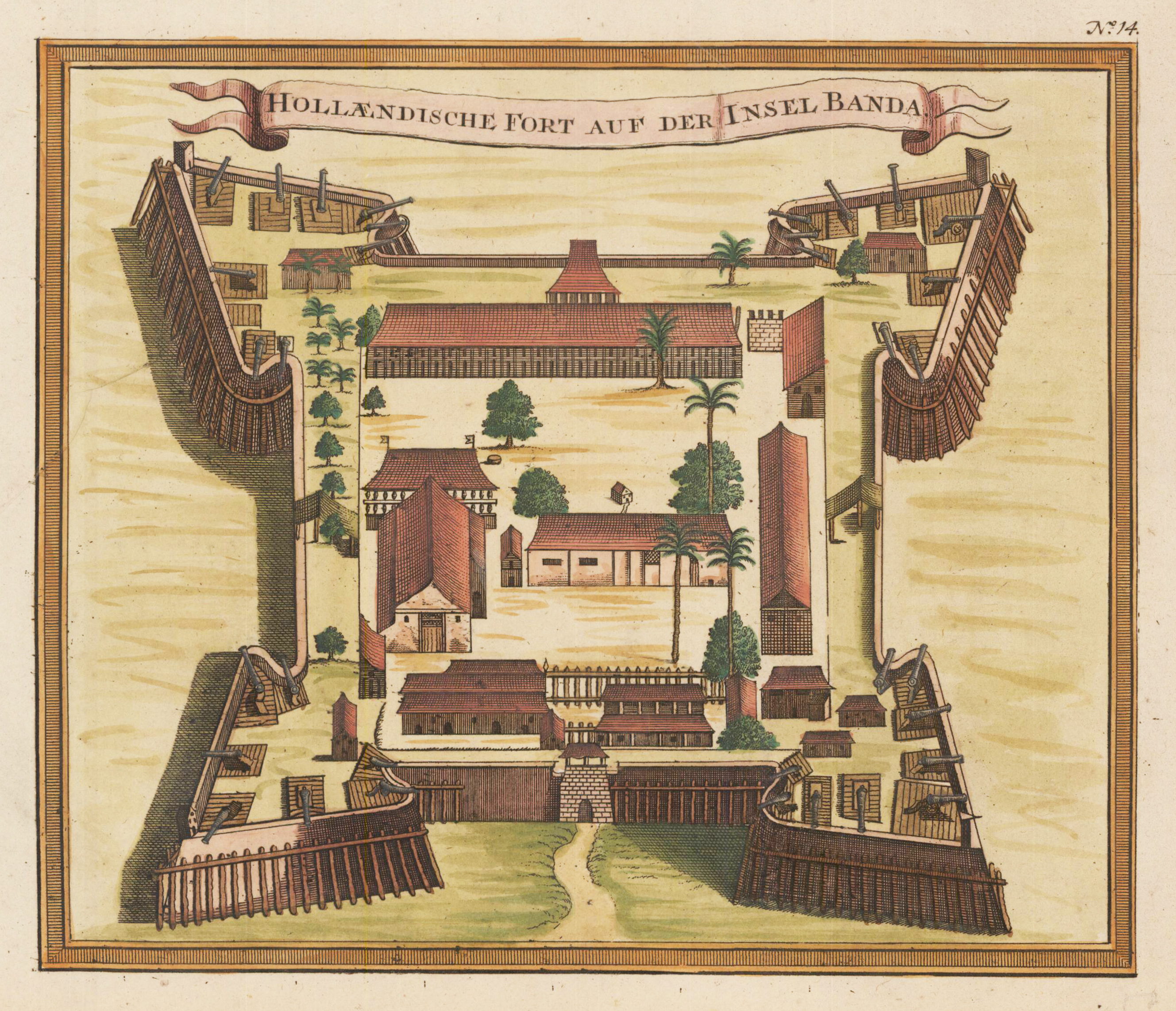
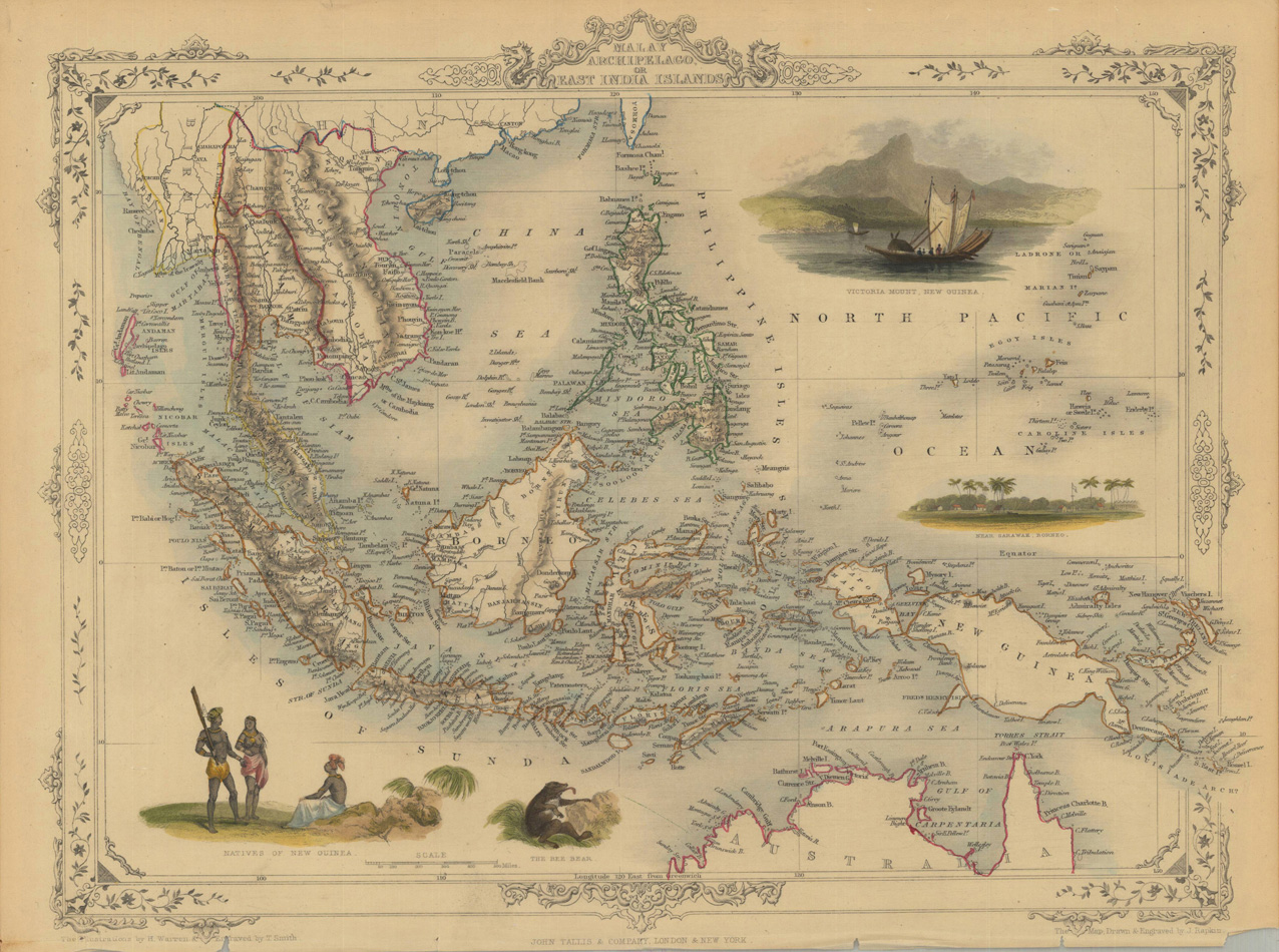
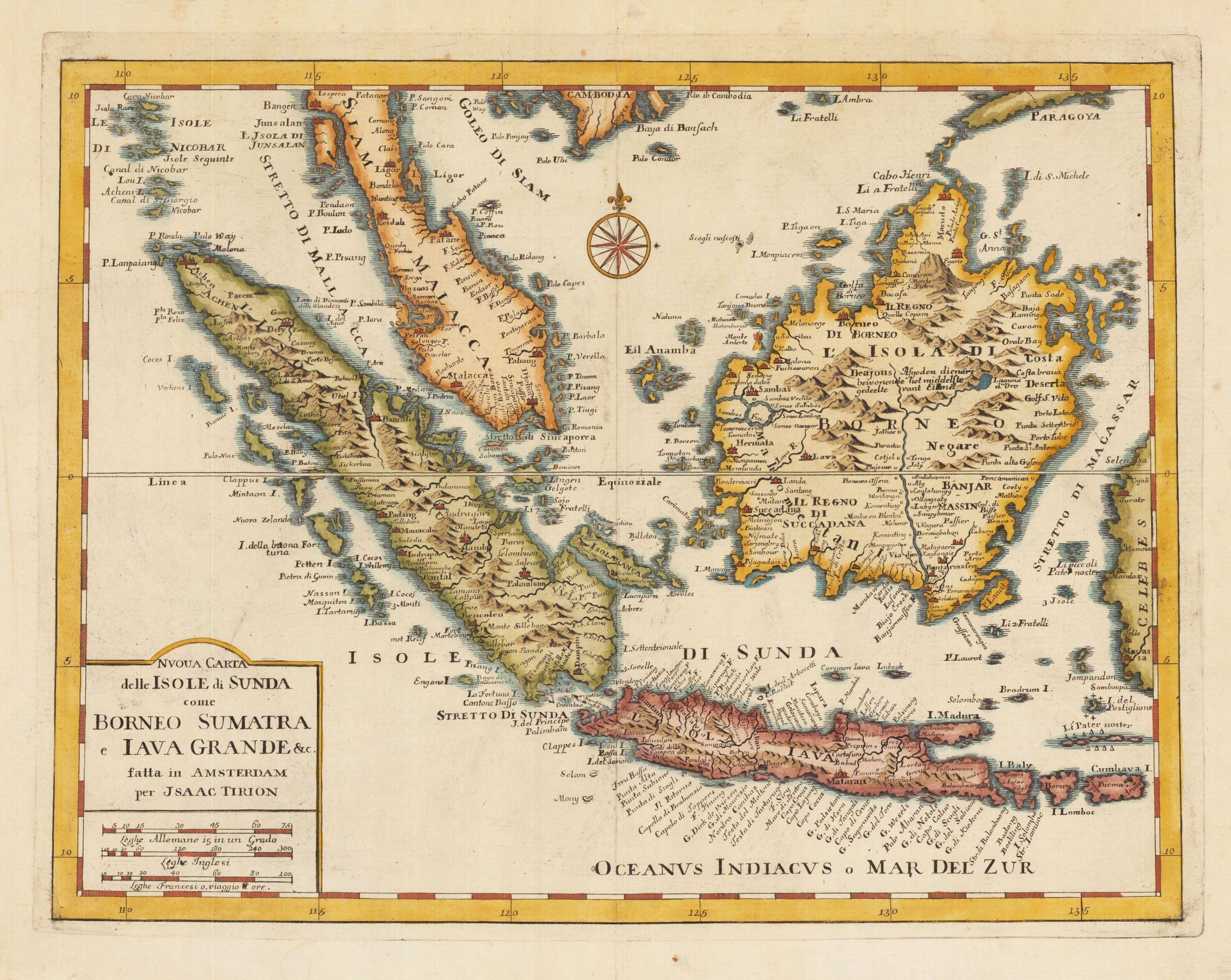
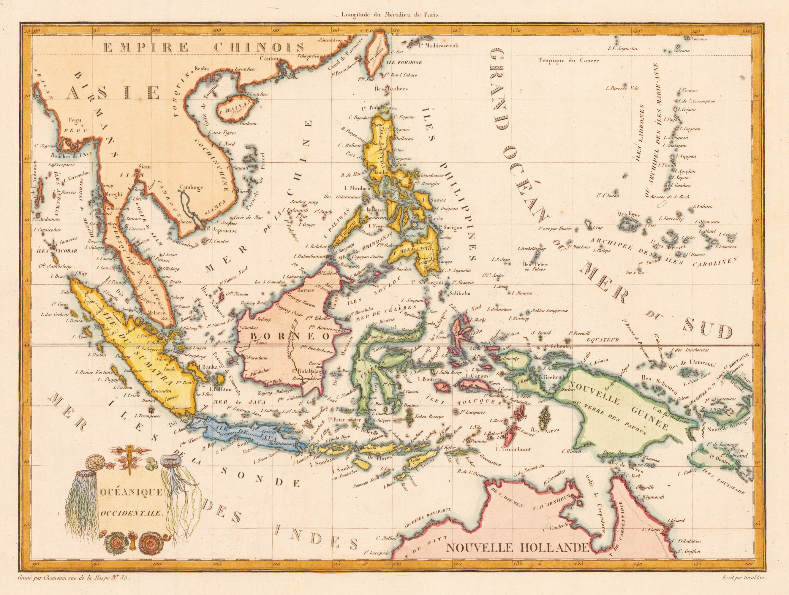
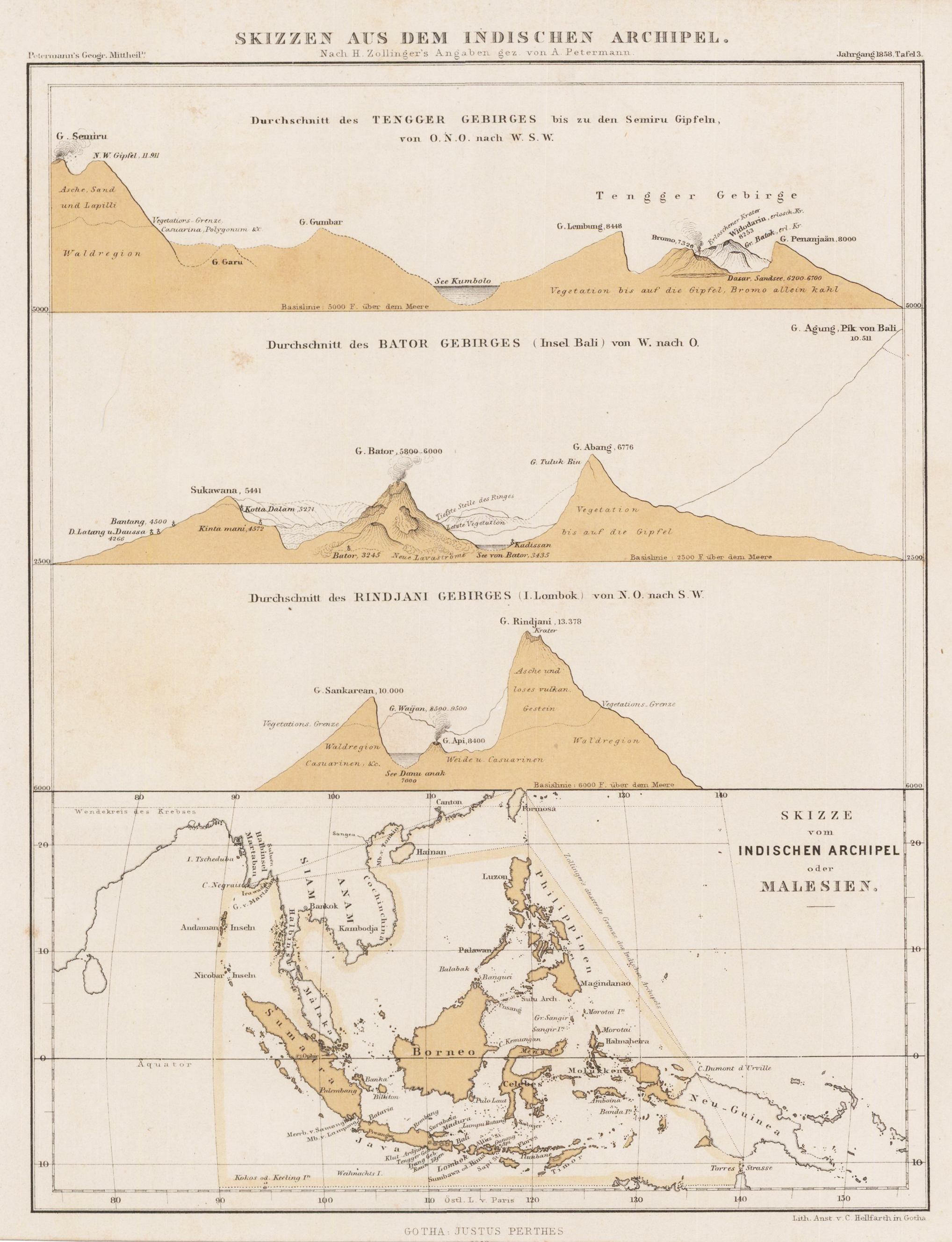
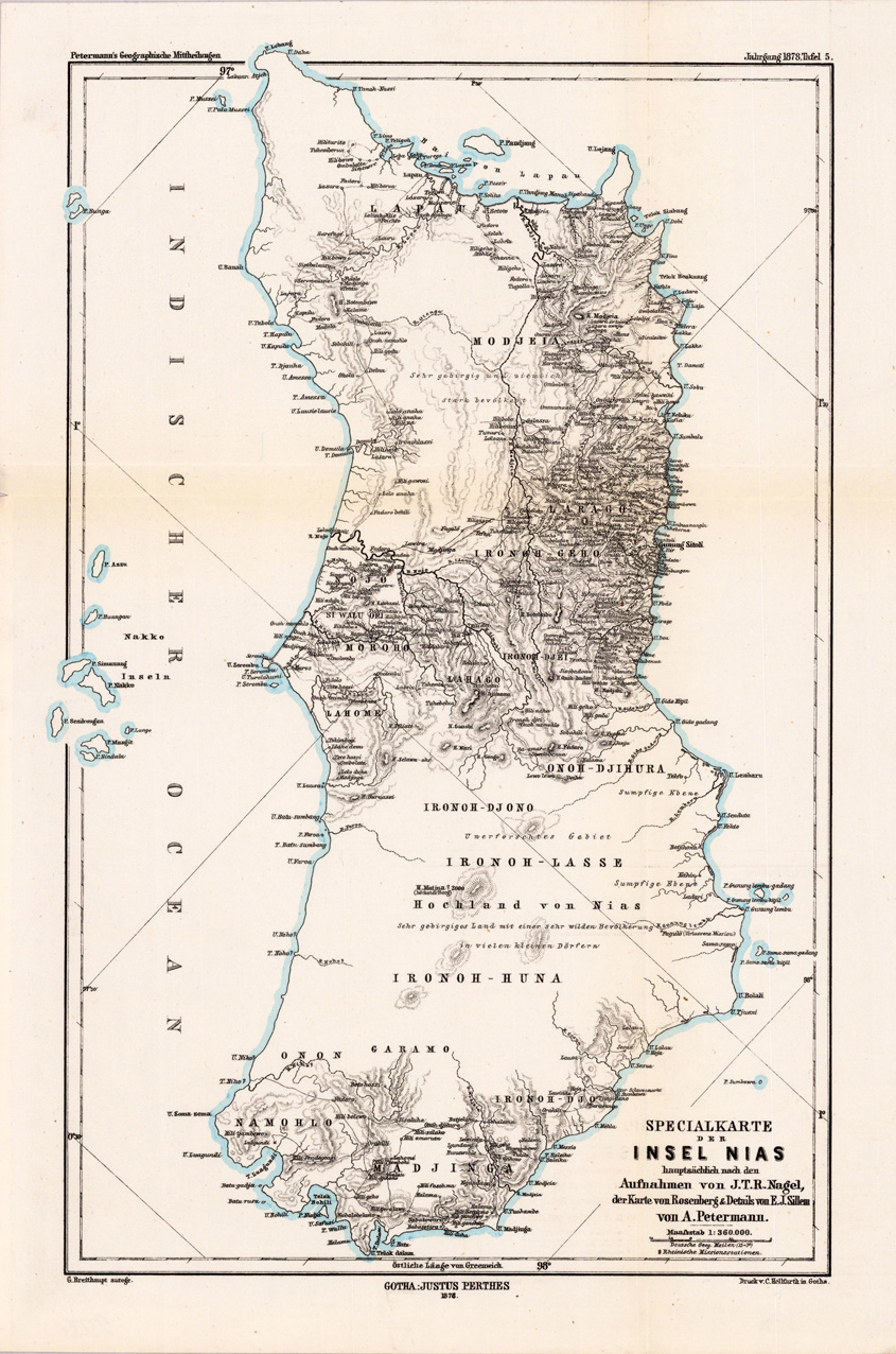
Copper engraving, hand colored in outline. Detailed map of the region from Sumatra and Malaca and Southern China to the Philippines, New Guinea and Northern Australia, centered on Borneo. Includes a inset of the Marianas.
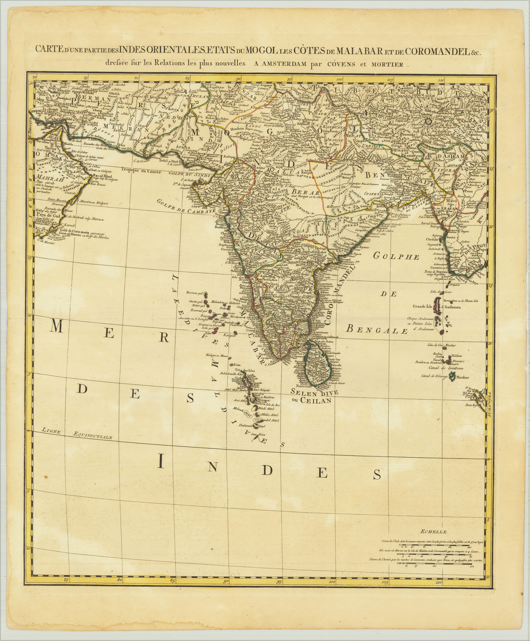
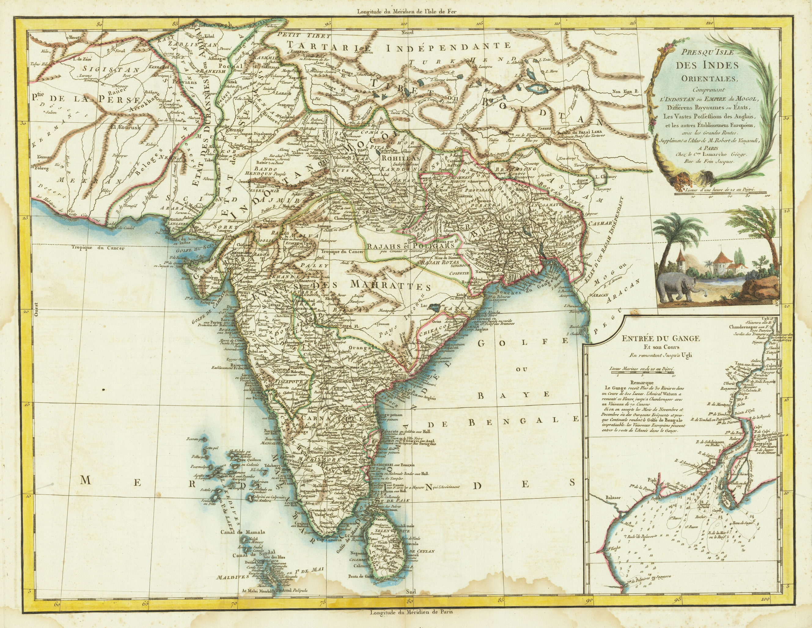
Original copper engraving, hand colored in outline and wash when published. Detailed map of India and environs, extends from the Straits of Hormuz to the Bengal Gulf.
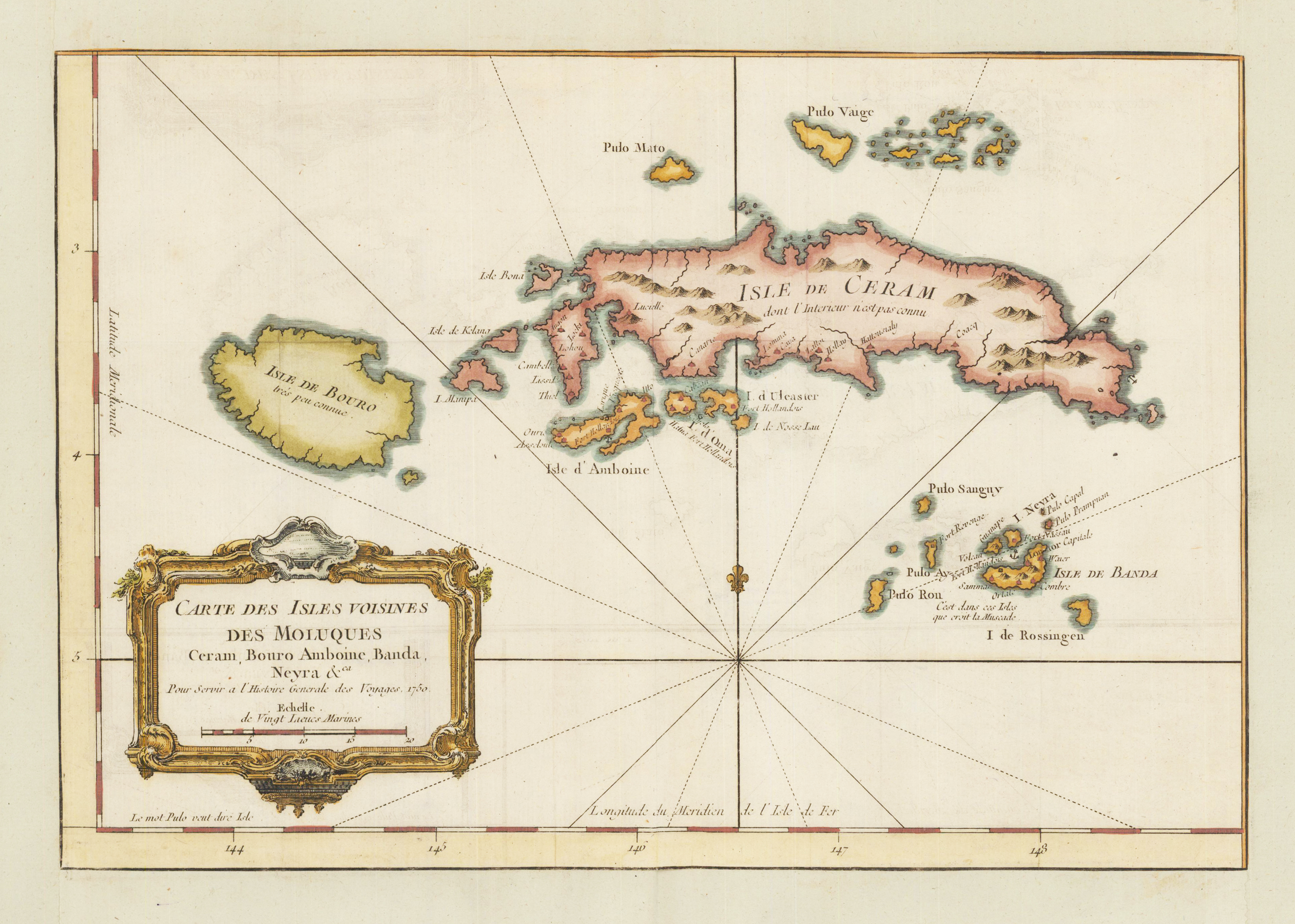
Copper engraving, hand colored in wash. An interesting and detailed map of the island of Ceram belonging to the Indonesian province Maluku. Ceram is the second largest archipel of the moluccan islands north of the Banda sea. A fine detailed and interesting map engraved by Bellin published in one of his atlases c. 1750-60 in Paris.
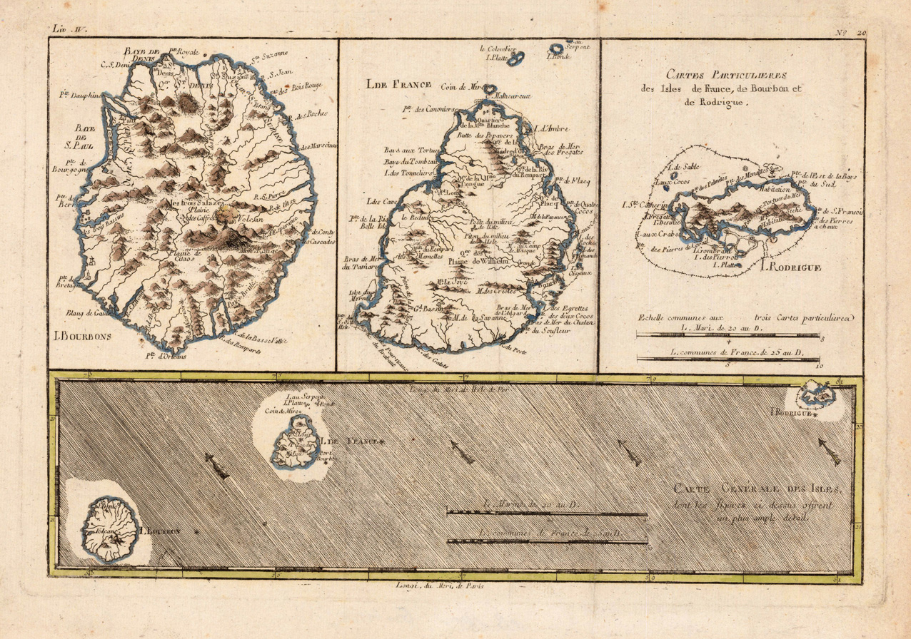
Original antique copper engraving, hand colored in outline. Interesting map showing the islands 'Isle Bourbon', 'Isle de France' and 'Isle de Rodrigue' in the Indian Ocean. Rigobert Bonne (6 October 1727 – 2 September 1794) was a French cartographer, widely considered to be one of the most important cartographers of the late 18th century. In 1773 Bonne succeeded Jacques Nicolas Bellin as Royal Cartographer to France in the office of the Hydrographer at the Depôt de la Marine. Working in his official capacity, Bonne compiled some of the most detailed and accurate maps of the period. Bonne's work represents an important step in the evolution of the cartographic ideology away from the decorative work of the 17th and early 18th century towards a more detail oriented and practical aesthetic. With regard to the rendering of terrain Bonne maps bear many stylistic similarities to those of his predecessor, Bellin. However, Bonne maps generally abandon such common 18th century decorative features such as hand coloring, elaborate decorative cartouches, and compass roses. While mostly focusing on coastal regions, the work of Bonne is highly regarded for its detail, historical importance, and overall aesthetic appeal. (Wikipedia)
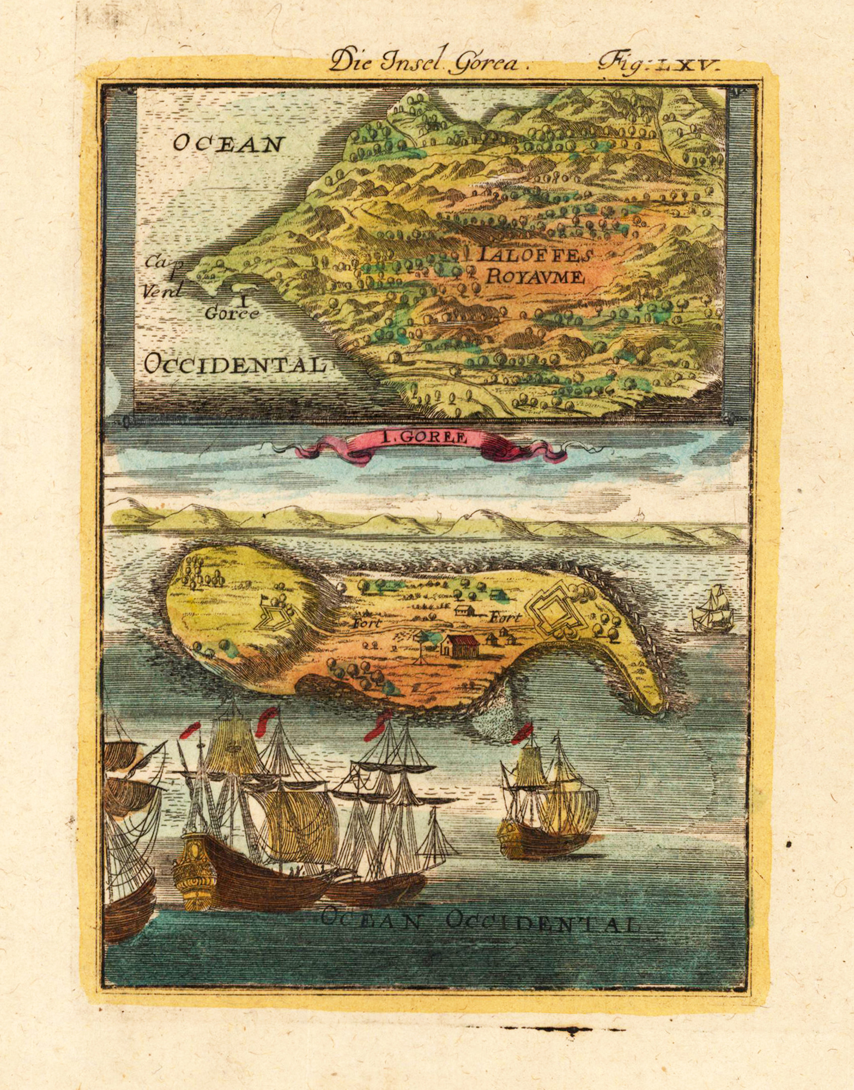
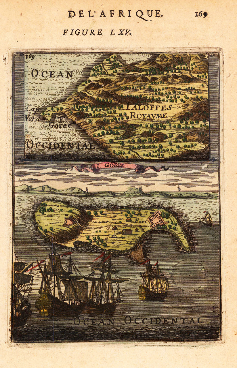
Copper engraving, hand colored in wash and outline, published in Allain Manesson Mallet's description of the world. Decorative scene of the island Gorea (Gorée) in Senegambia at the Westafrican coast.
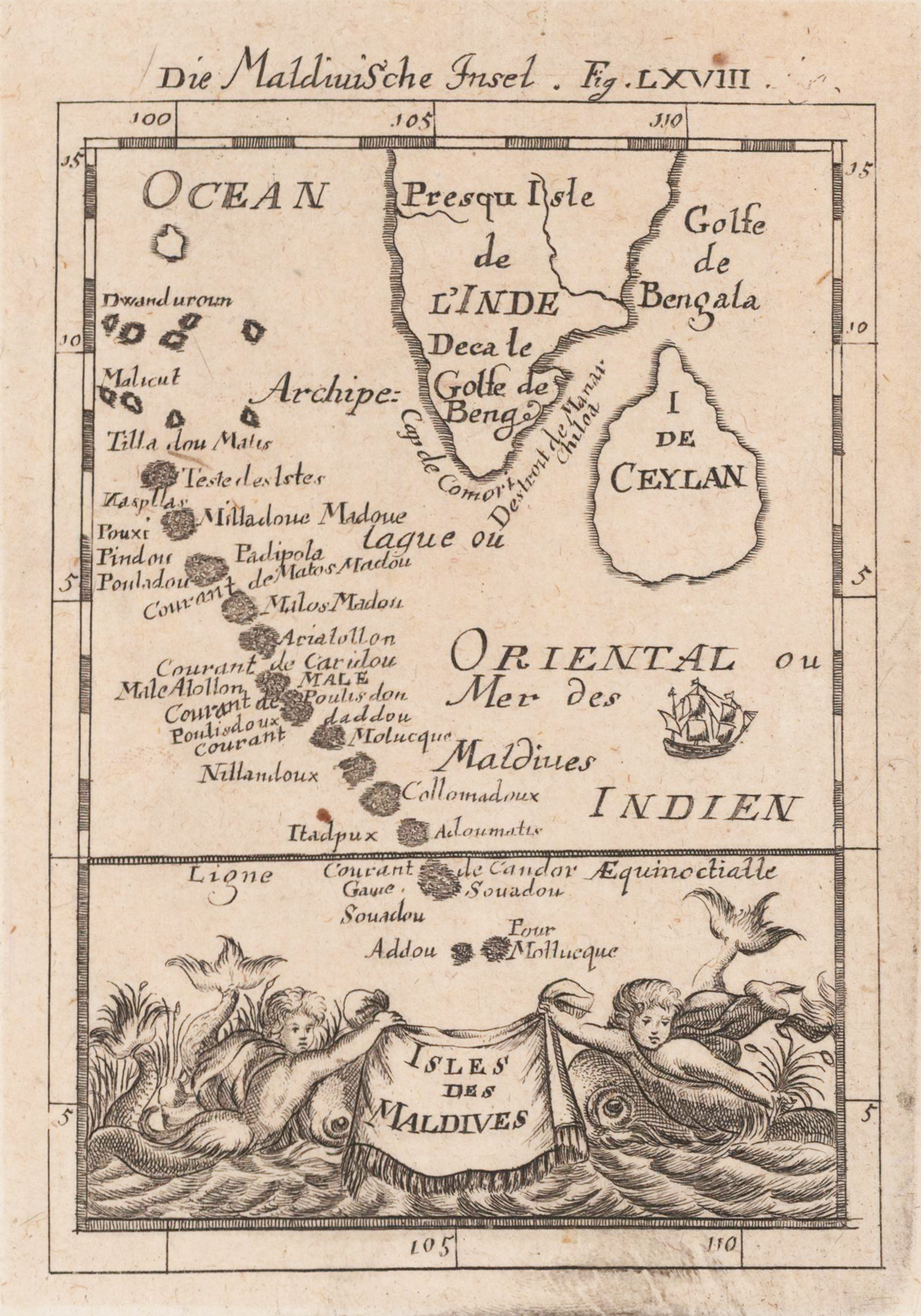
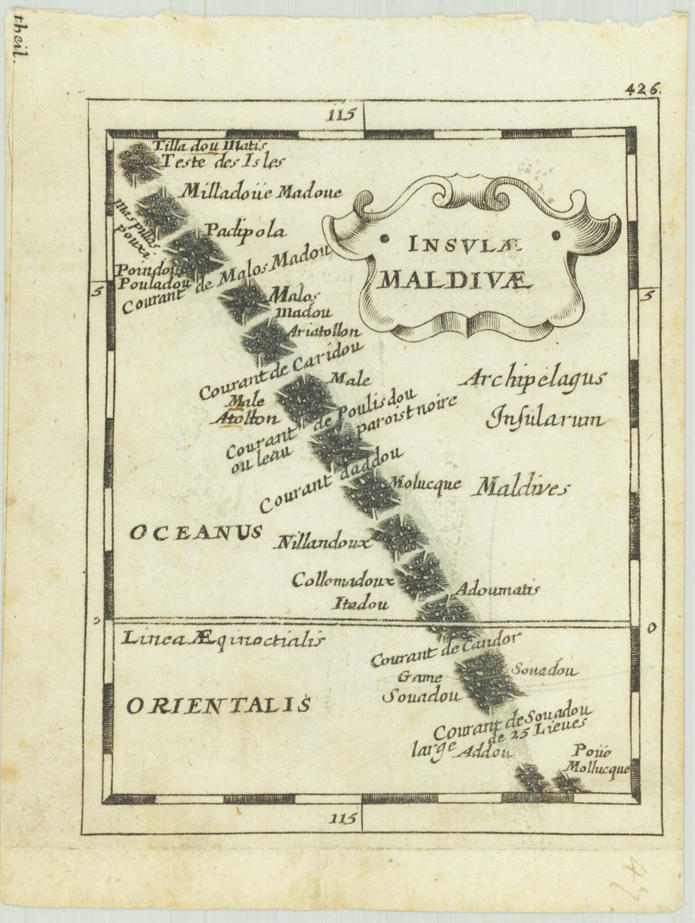
Copper engraving, uncolored, published in Allain M. Mallet's description of the world. Decorative map of the Maldive islands with the neighbouring southern tip of India and Sri Lanka. The Maldives are pretty accurate shown and all of them are named on the map. An interesting map for a map collector. Decorative ornated with two creatures in the sea.
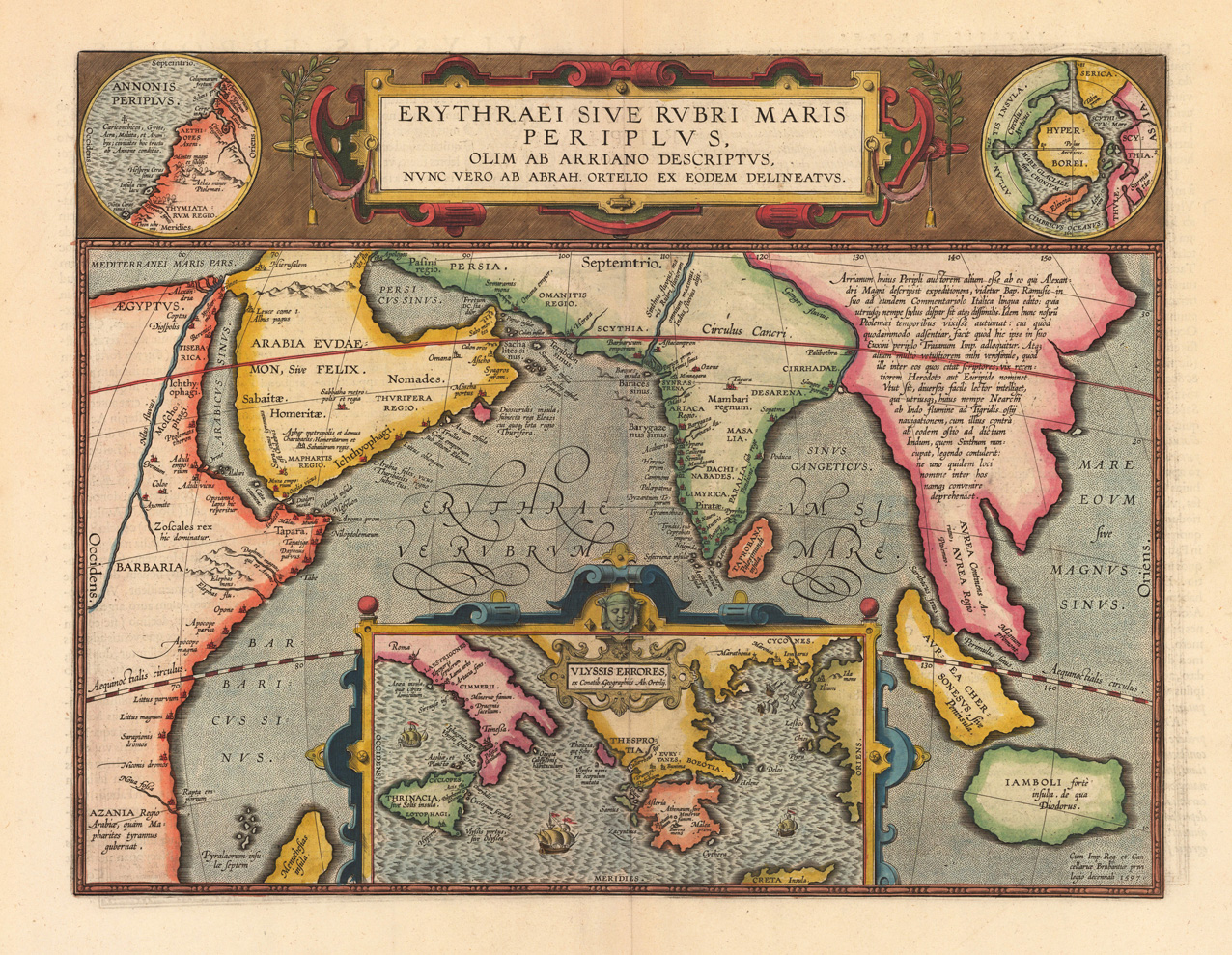
Original copper engraving, published 1624 in the famous historical Atlas "Parergon" (Latin text-edition) by Abraham Ortelius. Finely hand-colored in wash and outline. We find the title cartouche in the upper centre with insets on the right and left. Another inset showing the South of Italy and Greece is found at the lower centre (showing the errors of Ulysses). A very good example in excellent condition. The cartographic sources of this map are based on Homer's Odyssee, Isaac Tzetzes, Ovidius and Ausonius. The map represents the Northwest coast of Africa. King Hanno from Carthago is supposed to be the first to sail around the continent of Africa to reach the Arabian sea, and incidentally also the first to tame a lion ... . Inset Hyperborei has been added, as Ortelius puts it "for better beautifying or proportioning of this map", and to remind the reader that in spite of all their exertionsd, a passage to the Far East via the North Pole has not yet been found by the English or the Dutch (Broe. 225).
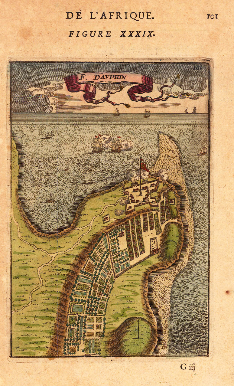
Copper engraving, hand colored in wash and outline, published in Allain Manesson Mallet's description of the world. This nice antique map shows us the Ford Dauphin with the ocean.
Copper engraving, hand colored in wash and outline, published in Allain Manesson Mallet's description of the world. Decorative scene of the island Gorea (Gorée) in Senegambia at the Westafrican coast.
Original copper engraving, uncolored. Published in Pierre Du Val's atlas ,Anderer Theil der allgemeinen Weltbeschreibung von Europa' (German edition Nürnberg at Johann Hoffmann & Christoph Gerhard.
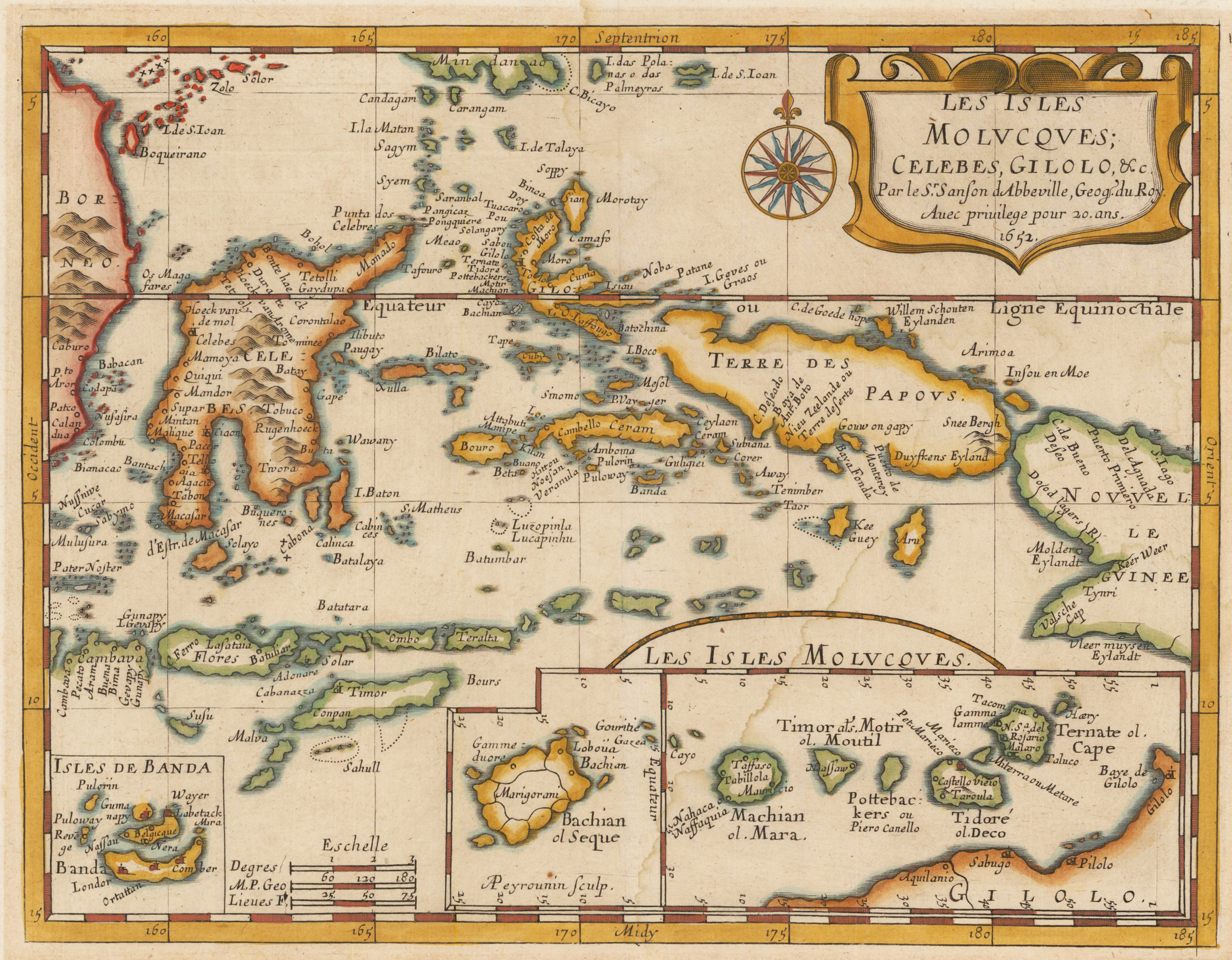
Original copper engraving, hand colored in outline and wash. Decorative map of the Spice Islands, the East Indies, the Celebes, the Moluccas and New Guinea. Including two insets of the clove producing islands of the North Moluccas and the nutmeg and mace producing Banda Islands of the South Moluccas.
Original antique copper engraving, hand colored in outline and wash. Map of Oceania showing Myanmar to New Guinea with the north coast of Australia from Cape Grafton to Lacepede Islands. Relief shown by hachures. Lower left-hand corner: Grave par Chamouin Rue de la Harpe No. 35. Lower right-hand corner: Ecrit par Giraldon.
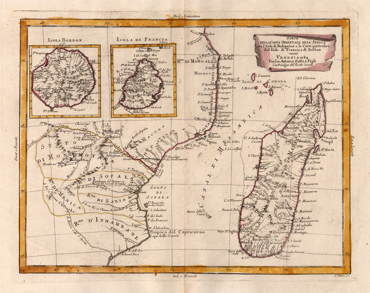
Copper engraving, in contemporary original color in outline. Published in Zatta's "Atlante Novissimo". The detailed map shows a part of the coast of of East Africa with Madagascar. Equipped with two inset maps of island in the Indian Ocean: Isle de Bourbon and Isle de France.
Original copper engraving, hand colored when published in outline and wash Very detailed map of India, with inset map of the mouth of the river Ganges (includes illustration of an elephant, trees and church below), detailing the Colonial holdings of the British and other European powers, the States of India and the major roads through India. The map identifies Delhi, Calcutta, Pondicherry, Agra, Bombay, Goa and other major and minor cities.
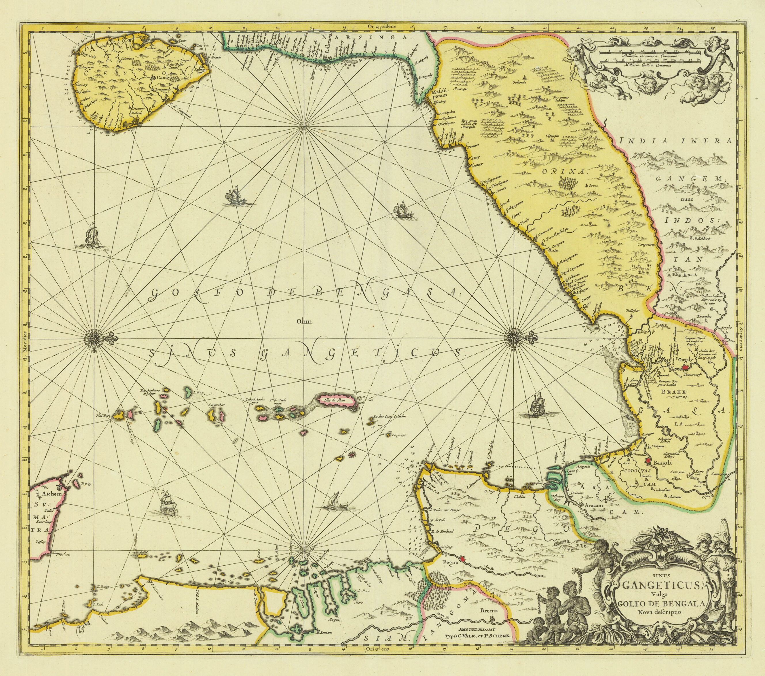
Copper engraving, hand colored in outline when published. A highly decorative map of the gulf of Bengal with the eastern coast of India, parts of the neighboring Thailand (Siam) and Birma. Many engraved place names, rivers, mountains, etc. Ornated with a compass rose and ships in the gulf of Bengal. Joan Jansson's sea-atlas can be regarded as the first Dutch sea atlas in this period, which covered the entire world.