
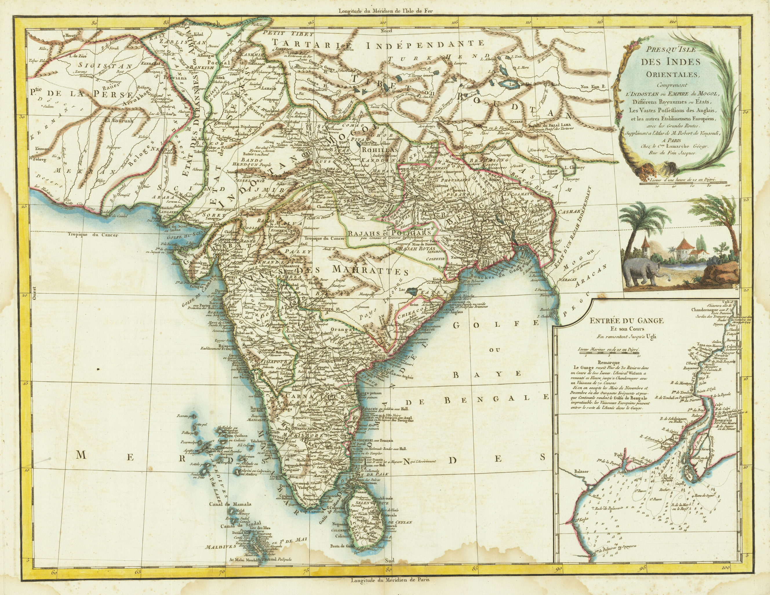
Presqu Isle Des Indes Orientales, Comprenant L'Indostan ou Empire du Mogol, Differens Royaumes out Etats, Les Vastes Possessions des Anglaises, et les autre Etablissemens Europeens, avec les Grandes Routes ...
Product information: Presqu Isle Des Indes Orientales, Comprenant L'Indostan ou Empire du Mogol, Differens Royaumes out Etats, Les Vastes Possessions des Anglaises, et les autre Etablissemens Europeens, avec les Grandes Routes ...
Original copper engraving, hand colored when published in outline and wash Very detailed map of India, with inset map of the mouth of the river Ganges (includes illustration of an elephant, trees and church below), detailing the Colonial holdings of the British and other European powers, the States of India and the major roads through India. The map identifies Delhi, Calcutta, Pondicherry, Agra, Bombay, Goa and other major and minor cities.
Properties
| Issue date: | 1786 |
|---|---|
| Published place: | Paris |
| Publisher: | Charles Francois Delamarche |
| Technique: | Copper engraving / hand colored. |
| Type: | map |