
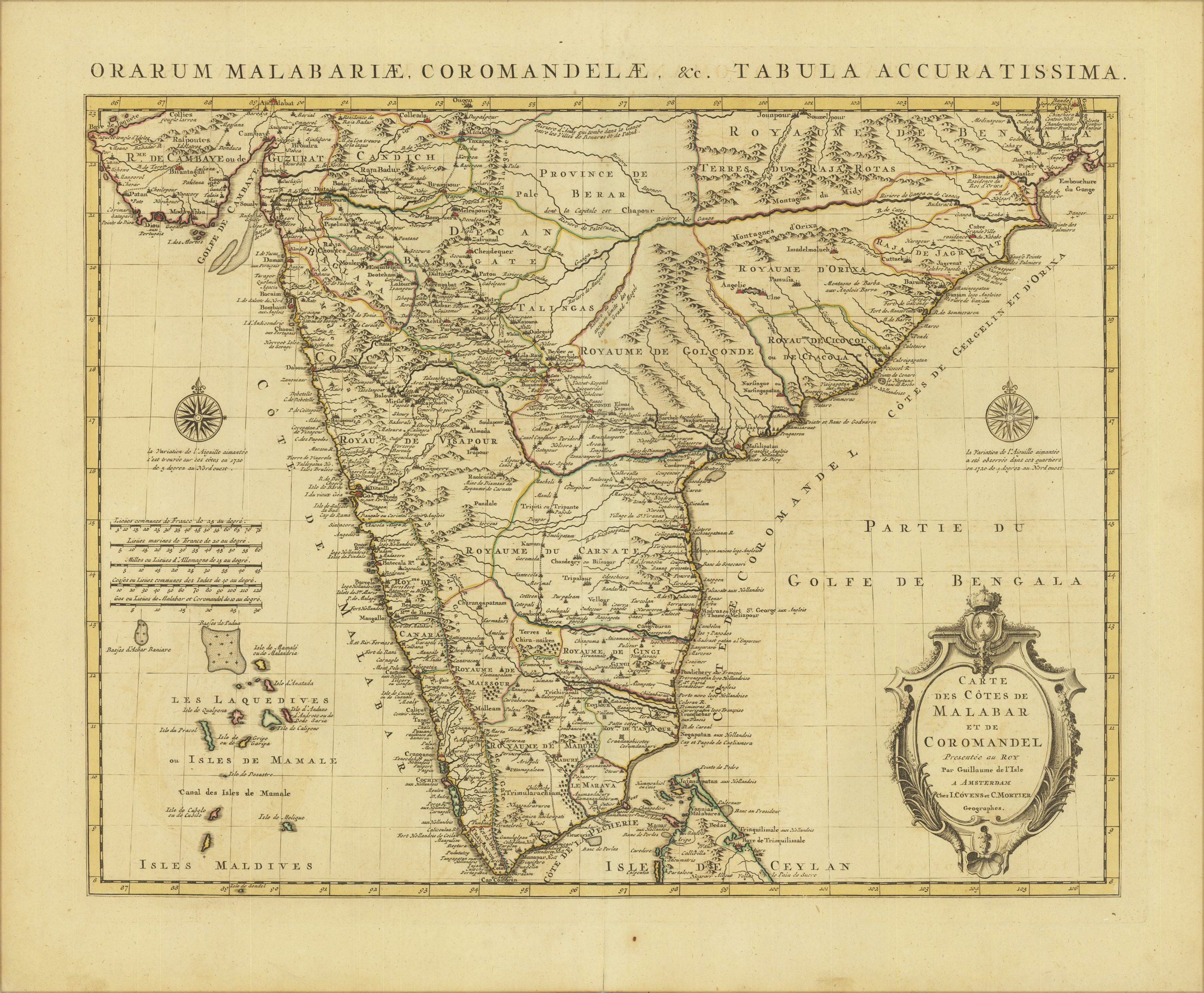
Carte des Cotes de Malabar et de Coromandel Presentée au Roy par Guillaume de I´Isle a Amsterdam Chez I. Cóvens et C. Mortier Geographes.
Product information: Carte des Cotes de Malabar et de Coromandel Presentée au Roy par Guillaume de I´Isle a Amsterdam Chez I. Cóvens et C. Mortier Geographes.
Original copper engraving, hand colored in outline and wash when published. Fine example of the first state of De L'Isle's map of Sri Lanka. Very detailed map, including towns, provinces, rivers, mountains, bays, harbors, islands, etc.
Properties
| Category: | Sri Lanka |
|---|---|
| Issue date: | 1742 |
| Published place: | Amsterdam |
| Publisher: | Guillaume De L'Isle |
| Technique: | Copperengraving/handcolored., Copper engraving / hand colored. |
| Type: | map |