
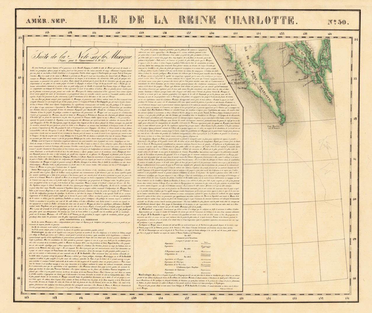
Amér. Sep. Ile De La Reine Charlotte No. 30.
Product information: Amér. Sep. Ile De La Reine Charlotte No. 30.
Lithograph, original hand colored in outline. The map is showing the Southern part of Queen Charlotte's Island and a part of the coastline of British Columbia. Large and detailed map on Charlotte's Island, equipped with many place names and names of smaller bays along the coastline. The map was published in Phillippe Marie Vandermaelen's atlas of North America.
Properties
| Category: | Reine Charlotte |
|---|---|
| Issue date: | 1825 |
| Published place: | Brussels |
| Technique: | Lithograph / Original color. |
| Type: | Antique Map, map |