
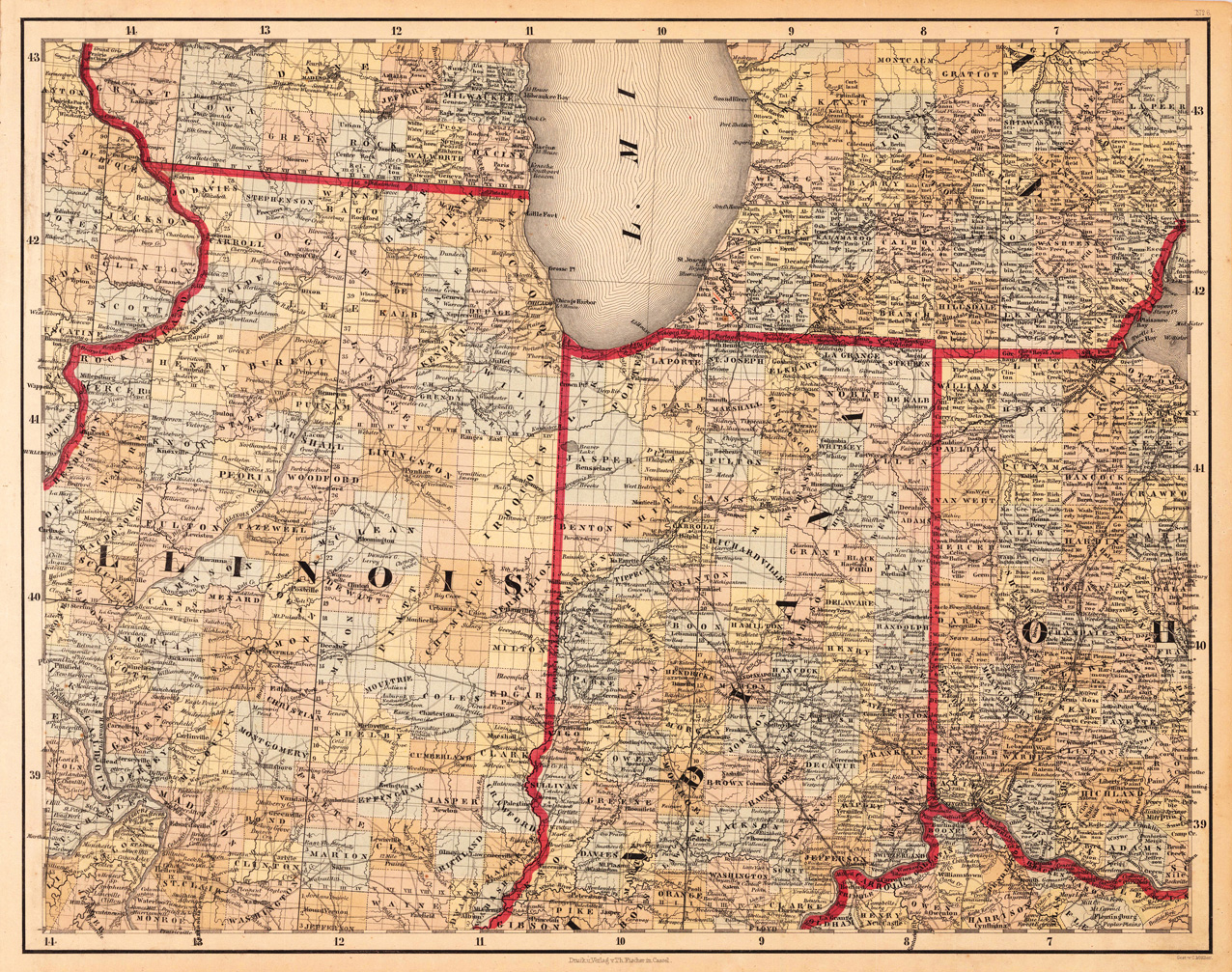
(Illinois, Indiana and Ohio)
Product information: (Illinois, Indiana and Ohio)
Lithograph, original color in outline and wash. This decorative map shows Illinois, Indiana and a part of Ohio. Further the southern part of Lake Michigan is shown. Inside the map are many place names, rivers, lakes, etc. engraved. The various counties are colored in wash and explicitly detailed named. This is one sheet (map no 6) of Calvin Smith's famous map of North America. Here is the rare version in lithograph present, published in Cassel in Germany. A splendid detailed map, showing nicely Illinois, Indiana, the southern part of Lake Michigan and adjacenting states. The map is highly detailed colored in outline and wash by counties and states, many place names, streets or routes, rivers, mountains, etc. are shown.
Properties
| Category: | Illinois, Indiana & Ohio |
|---|---|
| Issue date: | 1845 |
| Published place: | Cassel |
| Publisher: | Th. Fischer |
| Technique: | Lithograph / Original color. |
| Type: | Antique Map, map |