
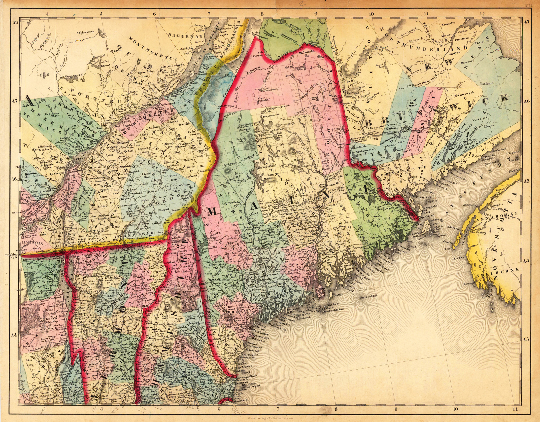
(Vermont - New Hampshire - Maine - New Brunswick)
Product information: (Vermont - New Hampshire - Maine - New Brunswick)
Lithograph, hand colored in outline and wash when published. This antique map shows prominent in its centre the state of Maine with its neighboring states Vermont, New Hampshire and New Brunswick. The map extends from Salisbury in the south towards New Brunswick and the neighboring Nova Scotia. Inside the map are many place names, rivers, lakes, mountains, railroads, etc. Many counties are named and finely hand colored in wash. A detailed map of this part of the Northeastern United States by the famous 19th century mapmaker and cartographer Calvin Smith. This is one sheet (map no 4) of Calvin Smith's famous map of North America. Here is the rare version in lithograph present, published in Cassel in Germany. A splendid detailed map, showing nicely Maine and adjacenting parts. The map is highly detailed colored in outline and wash by counties and states. An interesting collector's piece.
Properties
| Category: | Maine, Northeastern US |
|---|---|
| Issue date: | 1845 |
| Published place: | Cassel |
| Publisher: | Th. Fischer |
| Technique: | Lithograph, later handcolor. |
| Type: | Antique Map, map |