
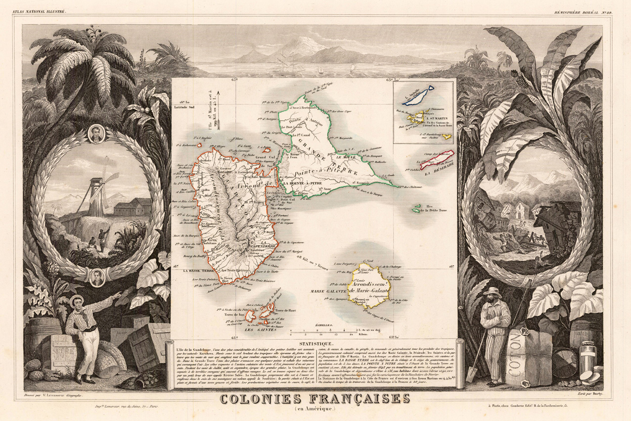
Colonies Francaises (en Amérique)
Product information: Colonies Francaises (en Amérique)
Original engraved map, hand colored in outline when published in V. Levasseur's atlas of French departments. In the centre of this map the islands Guadeloupe, Maria-Galante, the Saint Islands are shown. Below we find a table with descriptive text. The borders are richly decorated with a scene of the vulcano Soufriére. Around the map are various allegories on trading and manfacturing sugar, coffee and cacao together with palm trees. At the left side is a windmill with working people on the fields. At the right side a demolished village after an hurricane or earthquake is shown.
Properties
| Category: | Guadeloupe and Maria Galante |
|---|---|
| Issue date: | 1856 |
| Published place: | Paris |
| Publisher: | A. Combette |
| Technique: | Lithograph / Original color. |
| Type: | Antique Map, map |