
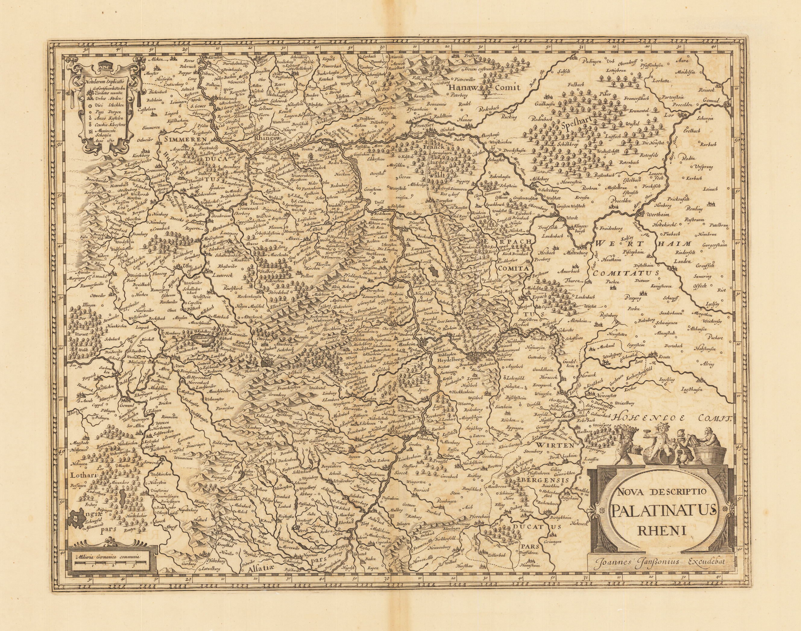
Nova Descriptio Palatinatus Rheni.
Copper engraving, uncolored as published. Published verso without text around 1630-32 in an appendix atlas volume by Joan Janssonius. The map was later on published in various text editions until 1644. A decorative antique map of the Rhine Palatinate with Saarland, Rheingau, Odenwald and North Baden. Heidelberg in the centre of the map. With an engraved title cartouche at the bottom right, a mileage indicator and engraved explanations on the left. Johann Janssonius (* 1588 in Arnhem, † 1664 in Amsterdam), actually Jan Janszoon, other spellings Jan Jansz., Joan, Johannes, Ioannis, Io (h) annem; Ianssonii, Ianßonium or Jansonium) was a Dutch cartographer, publisher and manufacturer of globes. Janssonius also continued the publication of Mercator-Hondius' atlases. In 1612 he married the daughter Elisabeth of Jodocus Hondius (1563-1612). Since Hondius was the owner of Gerardus Mercator's printing plates, they worked together after Jodocus Hondius 'death with his sons Jodocus II and Henricus on new editions of Mercator's Atlas. In 1633 the second volume of the atlas was published. This is often referred to as Mercator-Hondius-Janssonius. The most important work by Jan Janssonius is the Atlas Theater du Monde, published in 1639 in three volumes. Due to the constant additions, the atlas had eleven volumes in 1662. He developed into the fiercest competitor of Joan Blaeus (1596–1673) work Theatrum Orbis Terrarum. After Jansson's death, the company was continued by his brother-in-law Waesberg. In 1694 the printing plates of Janssonius were made by Peter Schenk the Elder. Ä. (approx. 1660–1711) acquired. (Wikipedia)
| Category: | Rheinpfalz (Palatinatus Rheni), River Rhine |
|---|---|
| Issue date: | 1630, 1630-32 |
| Published place: | Amsterdam |
| Technique: | Copper engraving / Uncolored |
| Type: | map |