
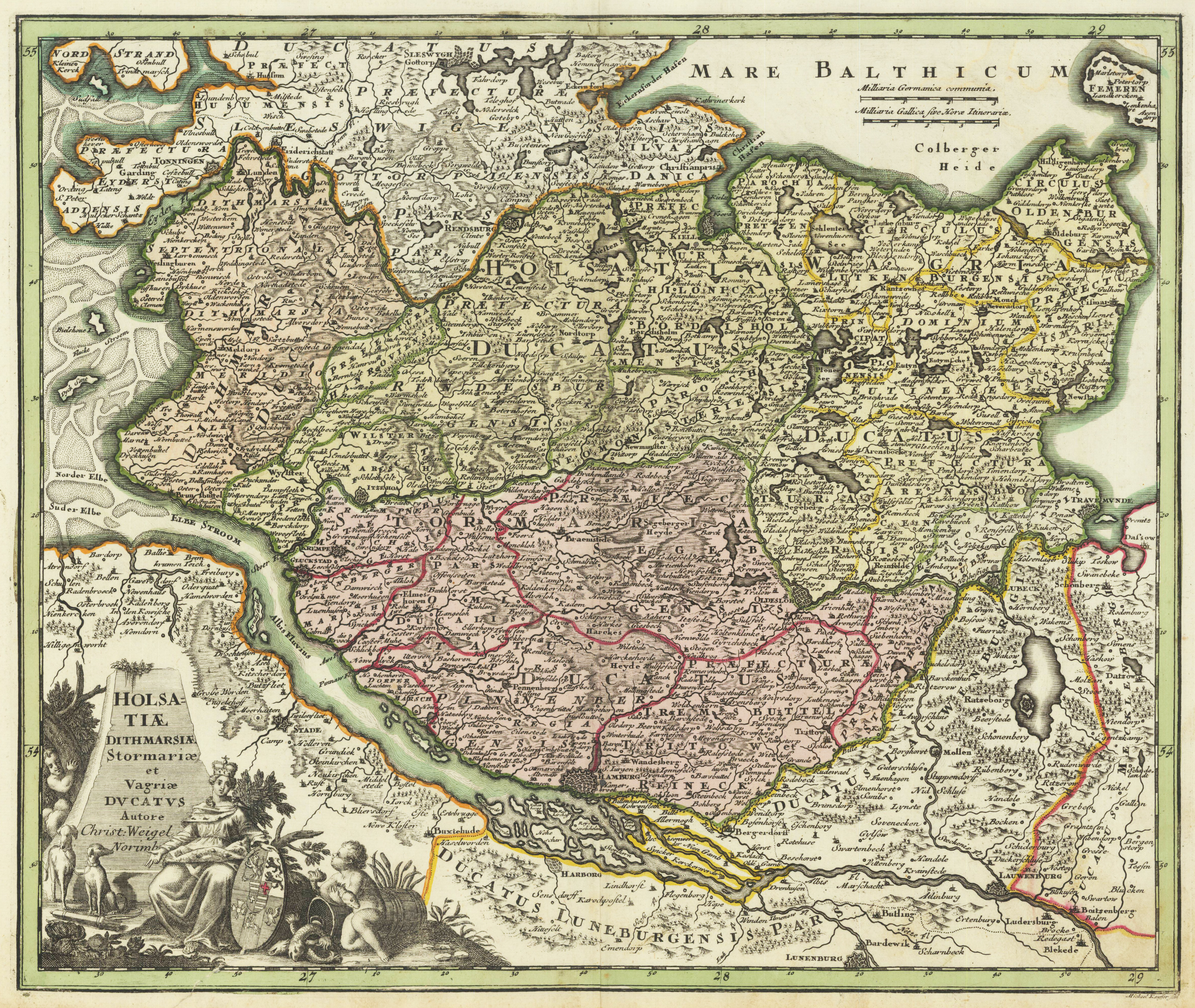
Holsatiae Dithmarsiae Stormariae et Vagriae Ducatus Autore Christ: Weigel Norimb.
Product information: Holsatiae Dithmarsiae Stormariae et Vagriae Ducatus Autore Christ: Weigel Norimb.
Copper engraving, hand colored in outline and wash when published. This antique map shows Holstein. Inside the map are many place names, streets, rivers, mountains, trees, etc. to see. In the left lower corner we look to a wonderful figurative cartouche. In the upper right side we found a mileage scale. The cartographer Christoph Weigel worked around 1719 in Nürnberg and his maps are showing the typical style of this period in mapmaking in Southern German. He worked very close as with Johann B. Homann in Nürnberg. All his maps were hand colored in outline and decorative body color immediately in his printing house, after they were printed.
Properties
| Category: | Schleswig-Holstein |
|---|---|
| Issue date: | 1720-40 |
| Published place: | Nürnberg |
| Publisher: | Chr. Weigel. |
| Technique: | Copper engraving / Original color. |
| Type: | map |