
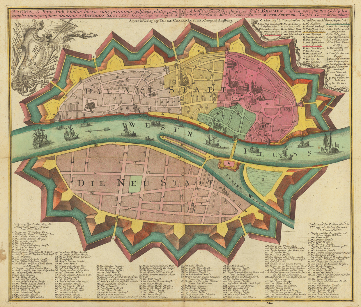
Brema, S. Rom. Imp. Civitas ... - Grundriss des H:R. Reichs freyen Stadt Bremen ...
Product information: Brema, S. Rom. Imp. Civitas ... - Grundriss des H:R. Reichs freyen Stadt Bremen ...
Engraved map, hand colored in wash when published. A detailed plan of the free imperial city of Bremen with its city walls located at the river Weser. Depicted is the old and new city of Bremen on both sides of the river Weser. Title in Latin and German language at the top of the map, below the imprint of the publisher Tobias Conrad Lotter from Augsburg. In the upper left corner allegories to the free imperial city of Bremen and in the upper right corner explanations A-q on the most important buildings and churches of the city. At the bottom of the map below the ,Neustadt of Bremen' an extensive listing of 128 street- and place names of the ,Altstadt of Bremen' and another listing of 28 street- and place names of the ,Neustadt of Bremen'.
Properties
| Category: | Bremen |
|---|---|
| Issue date: | 1740-56 |
| Published place: | Augsburg |
| Publisher: | Tobias Conrad Lotter |
| Technique: | Copper engraving / Original color |
| Type: | map |