
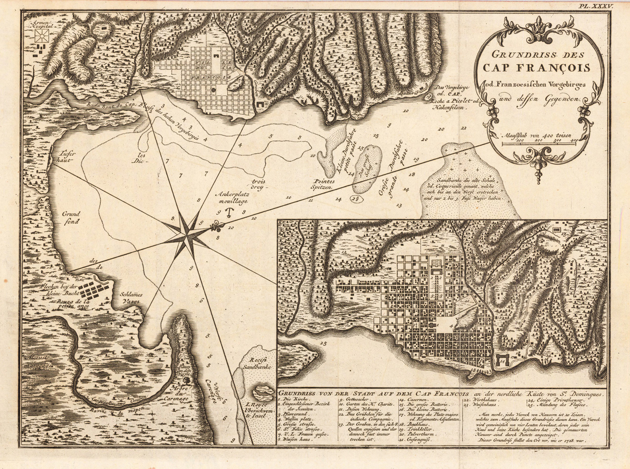
Grundriss des Cap Francois od. Franzoesischen Vorgebirges und dessen Gegenden.
Product information: Grundriss des Cap Francois od. Franzoesischen Vorgebirges und dessen Gegenden.
Copper engraving, uncolored as published. Detailed map showing the bay of 'Cap Francois' with an inset map of the city of Cap Francois. Below a table of explanations. On the map we find details like depths in the sea, sand banks, anchor places, etc. Detailed and interesting map engraved by Bellin after earlier voyages.
Properties
| Category: | Cap Francois |
|---|---|
| Issue date: | 1752 |
| Published place: | Leipzig |
| Publisher: | Merkur |
| Technique: | Copper engraving / Uncolored |
| Type: | Antique Map, map |