
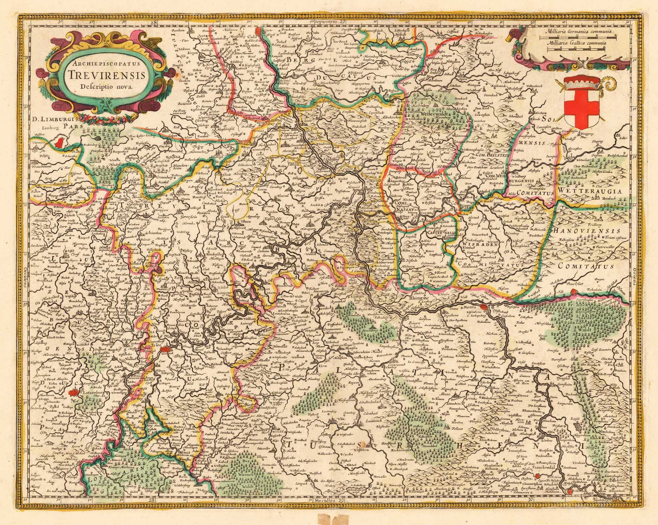
Archiepiscopatus Trevirensis Descriptio Nova.
Product information: Archiepiscopatus Trevirensis Descriptio Nova.
Copper-engraving, hand-colored in outline. Decorative map of the archbishopric of Trier, ornated with a decorative title-cartouche in the upper left corner and a cartouche with a milage scale and coat of arms in the upper right corner. A detailled map of the western part of Rheinland Pfalz, showing the area along the river Mosel and the Rhine from Cologne to Heidelberg in the south. With engraved political borders and naming many small duchies. Many place names, mountains, woods and rivers are shown on the map.
Properties
| Category: | Rheinland-Pfalz |
|---|---|
| Issue date: | 1634 |
| Published place: | Amsterdam |
| Publisher: | Hondius Hendricus |
| Technique: | Copper engraving / later handcolor |
| Type: | Antique Map |