
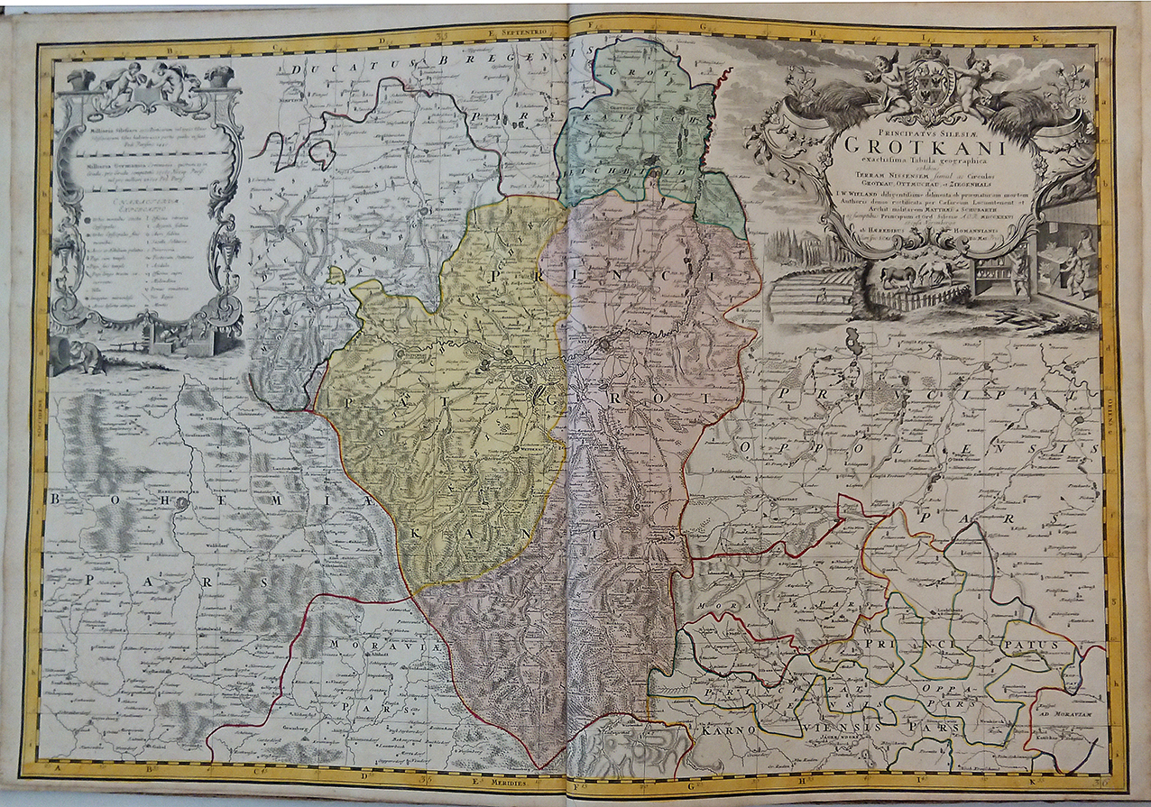
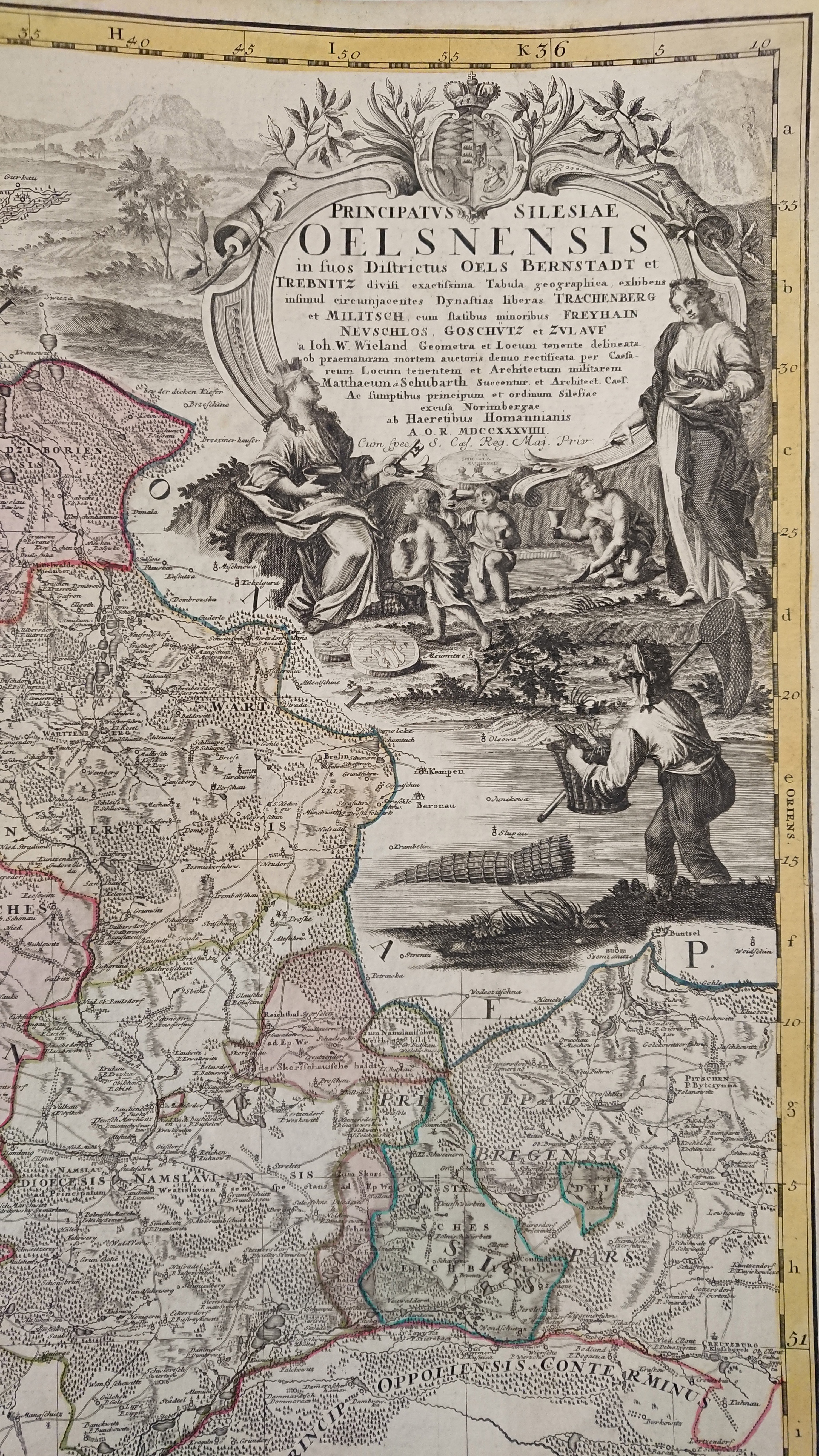
Atlas Silesiae id est ducatus Silesiae generaliter quatuor mappis, nec non specialiter XVI mappis tot principatus repraesentantibus geographice exhibitus.
Contemporary cardboard binding of the publication period, covered with marble paper (with abrashions at the corners). Blank 18th century front- and endpapers, 1 printed title page, printed index of the 20 engraved maps with table of explanations at the bottom, 20 double page engraved maps all hand colored in outline and wash in the period when published. Map number 9 misbound between maps number 6 and 7. The „Atlas Silesiae ..." was published as a large scale atlas of Silesia, which incorporated 20 double page engraved maps of which most of them are detailed regional maps of the various principalities and duchies of Silesia. The maps are based upon land surveys by Johann Wolfgang Wieland (1673-1736), they were corrected by M. v. Schubarth. In Silesia, during the reign of Charles VI (1711-1740) a work begun surveying the Habsburg hereditary lands. This survey was appointed to engineer Lieutenant Johann Wolfgang Wieland. In 1735 the 'Homann Heirs' a Nuremberg company which continued to print Homanns maps after his death, was charged with the publication of the map sheets. It appeared in an atlas with maps of the 16 principalities and two general maps. In 1736 a further revision of the Wieland drawn maps was carried out by the imperial engineer Lieutenant Matthew of Schubarth. That same year the copper plates (featuring also the principalities of Wroclaw, Brzeg and Sagan) were completed. King Frederick II of Prussia (1740-1786) was initially resistant to the completion of the survey. An atlas was published which included a map of Silesia, one of Lower and Upper Silesia, a map of the diocese of Wroclaw and 16 principalities. The atlas was for a long time the only publication of a government land survey of Silesia. Provinces on this map include Freyhan, Adelnau, Mittelwalde, Kempen, Pitschen, Ohlau and Breslau. This map was published in 'Atlas Silesiae Id Est Ducatus Silesiae Generaliter Quatuor Mappis Nec Non Specialiter XVI Mappis Tot Principatus Repraesentantibus Geographice Exhibitus'. Reference: Tooley's Dictionary of Mapmaker, Early World Press, 2004, pp 361-362
| Issue date: | 1750 |
|---|---|
| Published place: | Nürnberg |
| Publisher: | Homanns Erben |
| Technique: | Cardboard binding of the period. |
| Type: | Book |