
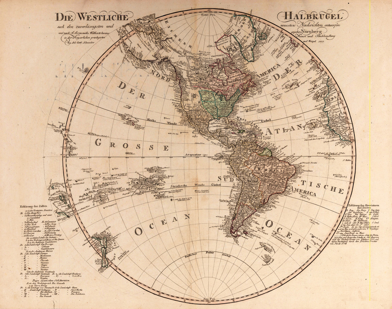
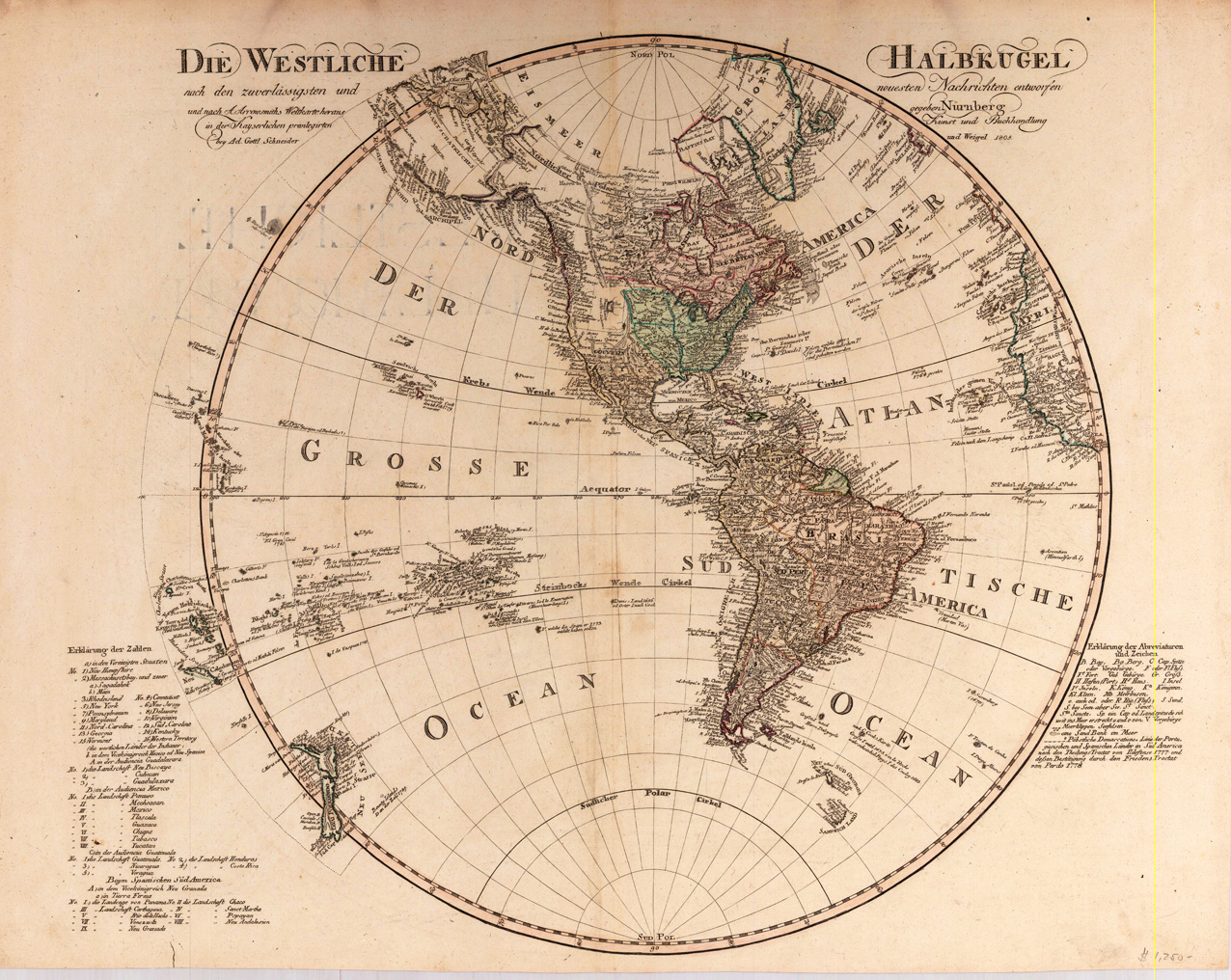
Die Westliche Halbkugel nach den zuverlässigsten und neuesten Nachrichten entworfen und nach A. Arrowsmiths Weltkarte heraus gegeben Nürnberg in der Kayserlichen privilegirten Kunst und Buchhandlung bey Ad. Gottl. Schneider und Weigel 1805.
Product information: Die Westliche Halbkugel nach den zuverlässigsten und neuesten Nachrichten entworfen und nach A. Arrowsmiths Weltkarte heraus gegeben Nürnberg in der Kayserlichen privilegirten Kunst und Buchhandlung bey Ad. Gottl. Schneider und Weigel 1805.
Original antique copper engraving, hand colored in outline and wash when published. This is a hemispherical map of Western Hemisphere with notes and dates of discovery. Johann Christoph Weigel, known as Christoph Weigel the Elder (9 November 1654 – 5 February 1725), was a German engraver, art dealer and publisher. He was born at Redwitz, Free imperial city of Eger in Egerland, and died in Nuremberg, aged 70. The cartographer Weigel worked around 1719 in Nürnberg and his maps are showing the typical style of this period in map making in Southern German. He worked very close as with Johann B. Homann in Nürnberg. All his maps were hand colored in outline and decorative body color immediatelly in his printing house, after they were printed.
Properties
| Issue date: | 1805 |
|---|---|
| Published place: | Nürnberg |
| Technique: | Copper engraving / Original color |
| Type: | Antique Map, map |