
Your results
3
Danube map
€48.00*
Steel engraving, uncolored as published. Detailed map of the Black Sea and its surrounding countries, published in William Beattie's Danube around 1844-50.
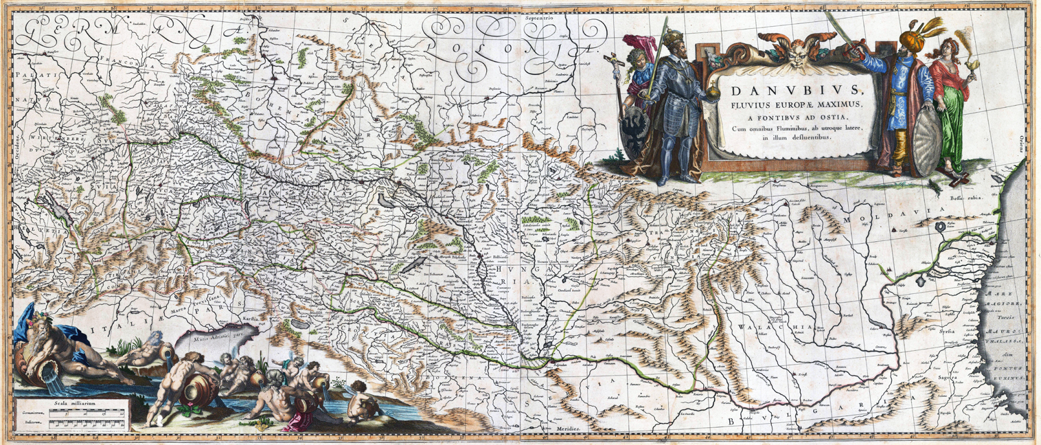
Danubius, Fluvius Europae Maximus, A Fontibus ad ostia. Cum omnibus Fluminibus, ab utroque latere, in illum defluentibus
€950.00*
Copper engraving, hand colored in outline and wash when published. Published in the atlas by Joan and Guijelmus Blaeu in Amsterdam around 1635-65. A highly decorative map of the river Danube from the its source in the ,Black Forest' towards the mouth of the Danube into the Black Sea. In the upper right corner with a large allegoric title cartouche with the Christian ruler and the ruler of the Turkish empire. The lower left corner with a highly decorative title cartouche with an allegory on the river Danube showing several gods filling water into the source of the river Danube. Many engraved place names, as well river names including neighboring countries as Switzerland, Austria and Bohemia. Printed from two plates, published between 1635 onwards in Blaeu's Theatrum and from 1658 to 1670 in Blaeu's famous ,Atlas Maior'. This example was printed ca. 1645. Verso blank. A large and highly decorative oversized map printed from two plates in old hand color. The map was originally published folded, so that the old folds are still slightly visible.
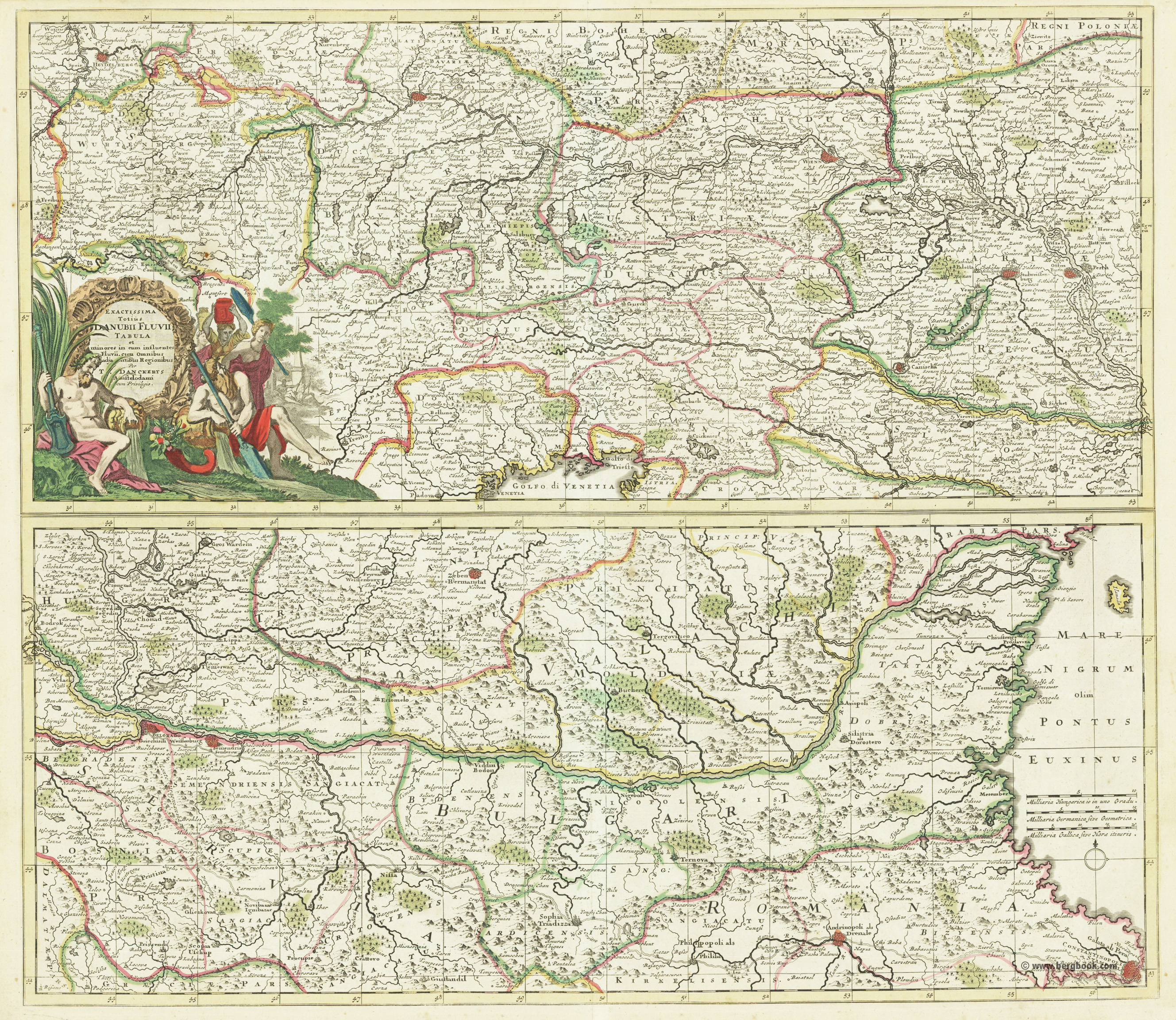
Exactissa Totius Danubii Fluvii Tabula et minores in eum influentes Fluvii cum omnibus adjacentibus Regionibus per T. Danckerts Amstelodami cum Privilegio.
€480.00*
Original copper engraving, hand colored in outline and wash when published. A highly decorative detailled map showing the river Danube from its source in the Black Forest to the Black Sea. The map is engraved in two plates on one sheet, above each other. The top sheet extends from the source of the river Danube in the Black Forest across southwest Germany, Bavaria (with Regensburg at the northerst point), Austria with Vienna towardsBudapest and Esseck in Hungary. Further it includes parts of the northern neighboring kingdom of Bohemia and extends in the south to the gulf of Venice. The lower sheet shows the river Danube with its neighboring countries from Esseck in Hungary to the mouth of the Danube into the Black Sea. It includes Bulgaria, parts of Serbia and extends towards Constantinoples (Stamboul). In the upper left corner of the double page map we find a rich ornated title cartouche, with an allegoric scene to the ribver Danube showing water gods. In full original outline colour as published. Many historical names are on the map engraved, as well names of regions, countries, cities, towns and smaller places. Detailled information on rivers and lakes is as well provided. A small mileage scale and a compass rose in the Black Sea.