
Your results
2
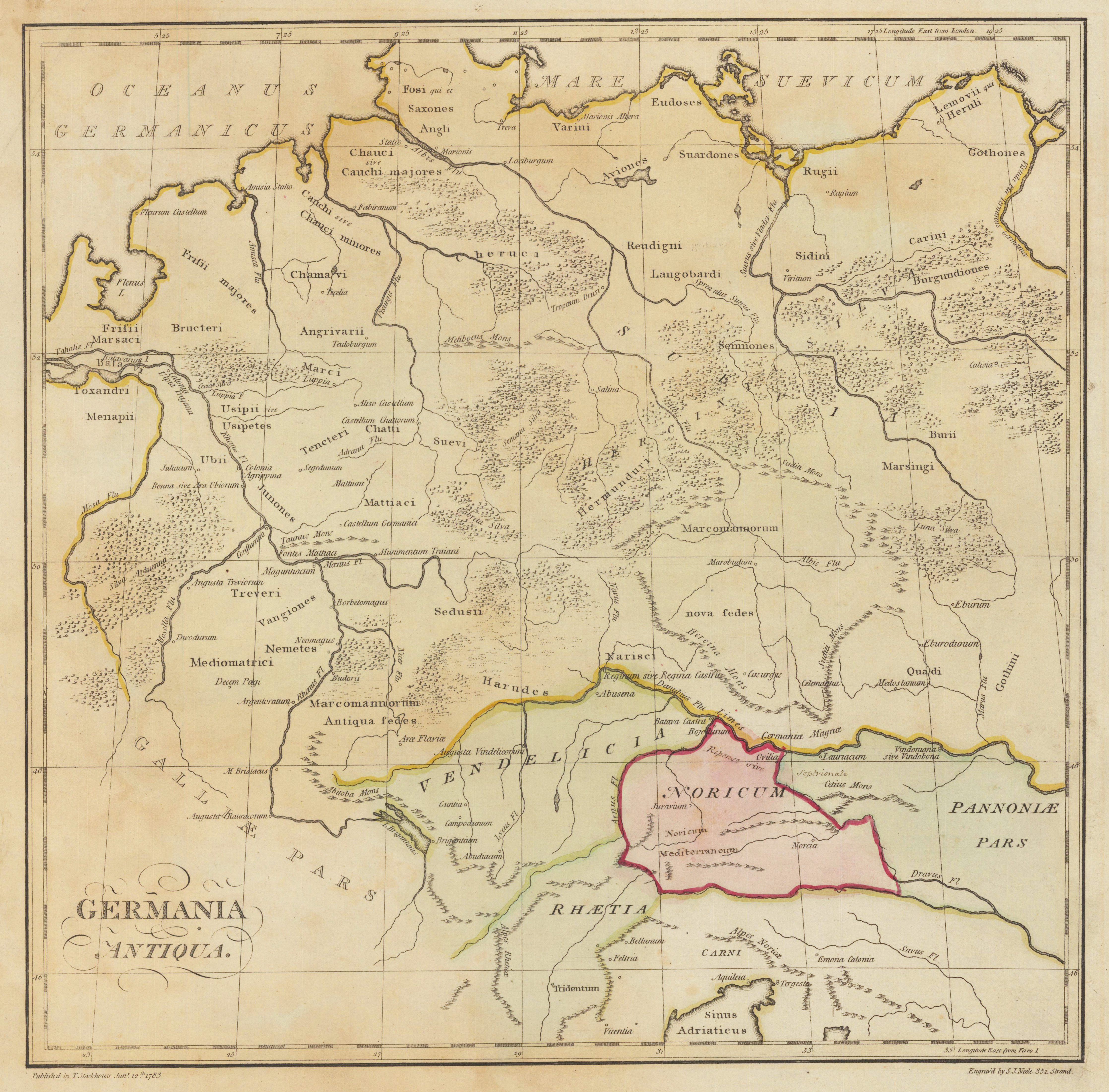
Germania Antiqua
€150.00*
Original antike Kupferstichkarte in Grenz- und Flächenkolorit. Das Kartenbild reicht von der Nord- und Ostsee bis hin zum nördlichsten Teil der Adria. Im linken unteren Bildbereich ist der Titel eingraviert.
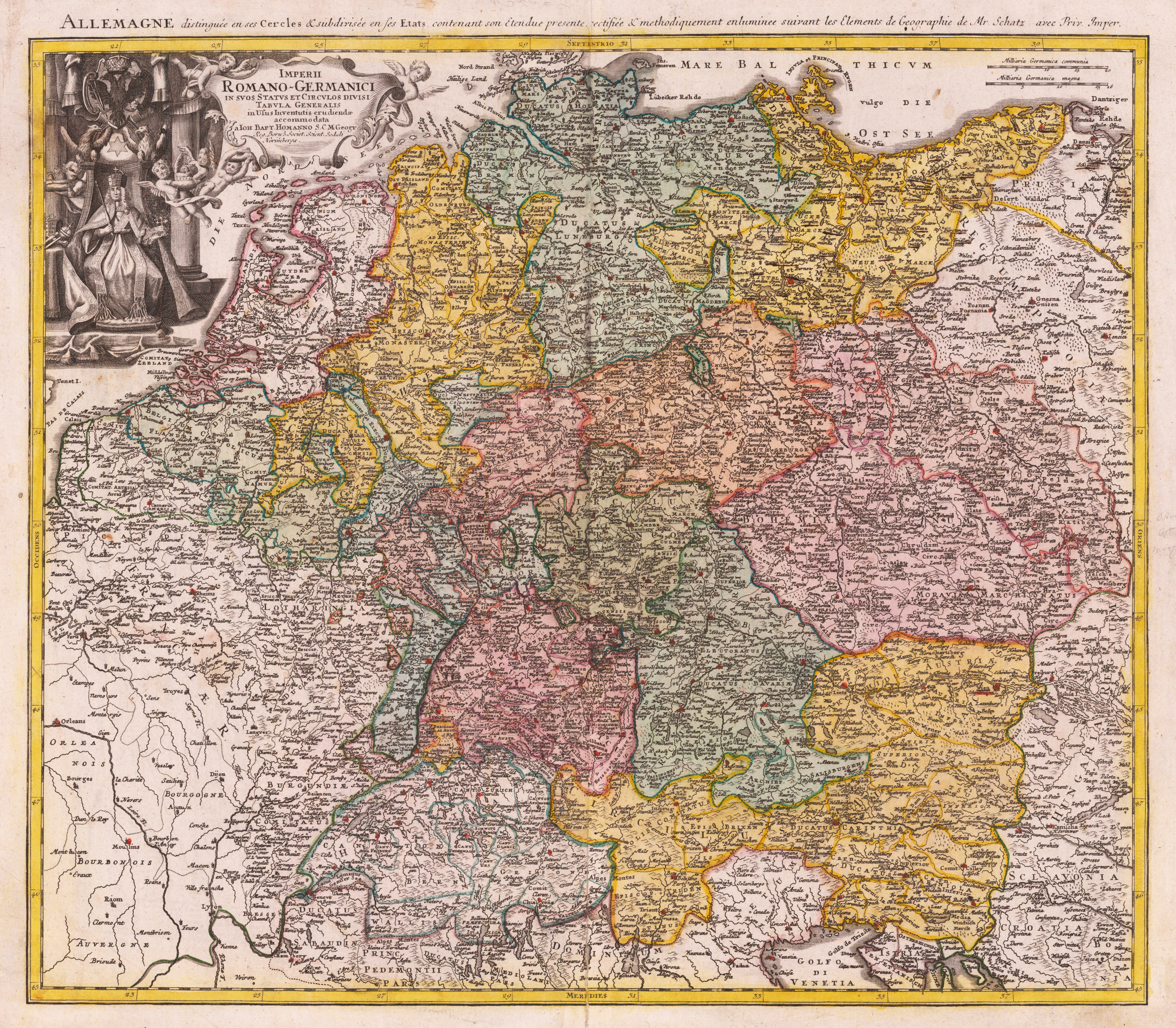
Imperii-Romano-Germanici in suos Status et Circulos divisi Tabula Generalis in Usus Inventutis erudiendae accomodata Ioh. Bapt. Homanno S.C.M. Geographo Reg. Boroß. Societ. Scient Sodali Norimbergae
€295.00*
Original copper engraving, hand colored in outline and wash when published. The map depicts the Holy Roman Empire around 1741. It shows Germany, Austria, Bohemia and parts of the Low Countries with its political borders hand colored when published in outline and wash belonging to the Holy-Roman-Empire. Further the map includes parts of the neighboring countries as France, Switzerland, Northern Italy, Prussia and Poland and Hungary. A detailed antique map with many engraved place names, rivers, lakes, mountains. In the upper left corner with decorative title cartouche showing the emperor of the Holy-Roman-Empire (Karl VII.) surrounded by puttos and above the eagle of the Holy Roman Empire.