
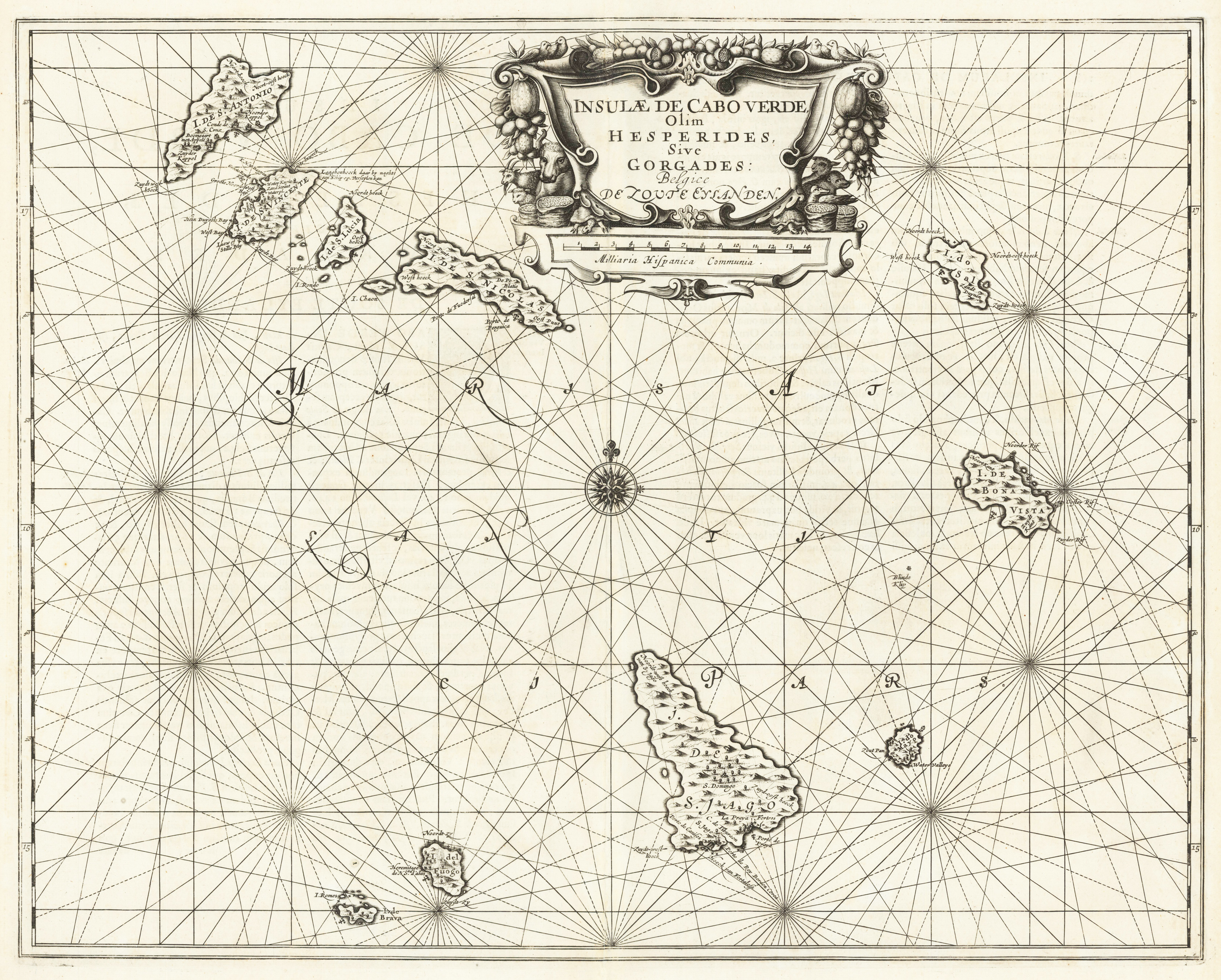
Insulae de Cabo Verde, Olim Hesperides, Sive Gorgades: Belgice de Zoute Eylanden.
Product information: Insulae de Cabo Verde, Olim Hesperides, Sive Gorgades: Belgice de Zoute Eylanden.
Original copper engraving, uncolored published. Double page sea chart covering detailed the Cap Verde Islands in the Atlantic Ocean (Isla de San Antonia, San Vincente, S. Lucia, S. Nicolas, I. do Sal, de Bona Vista, do Mayo, S. Jago, del Fuogo, de Brava). Many place names of smaller towns are listed along the coast lines the islands. As well some anchor places and depths are marked. In the upper centre a large figurative title cartouche in full contemporary colors. Below an additional cartouche with a scale of miles is present. In the centre of the sea chart a compass rose. The map was published ca. 1655 in Jansson's 'Sea-Atlas' (volume V). This sea-atlas, was the first real Sea-Atlas (Koeman), which covered areas over the whole world.
Properties
| Category: | Cap Verde Islands |
|---|---|
| Issue date: | 1655 |
| Published place: | Amsterdam |
| Publisher: | Janssonius Joan. |
| Technique: | Copper engraving / Original color. |
| Type: | map |