
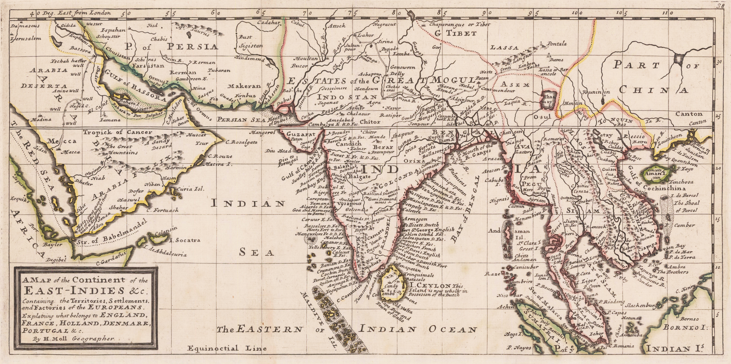
A map of Continent of the East-Indies &c. Explaining what belongs to England, Spain and Holland &c. - By H. Moll Geographer.
Product information: A map of Continent of the East-Indies &c. Explaining what belongs to England, Spain and Holland &c. - By H. Moll Geographer.
Copper engraving, decorative handcolored in outline. Small wide and decorative map showing the continent of India and the East Indies in Southeast Asia explaining what belongs to England, France, Holland, Denmark and Portugal. The map provides a good number of names of various larger and smaller islands and place names on those islands. The Geographer Hermann Moll worked came originally from the Netherlands and worked in London in the beginning for Moses Pitt. Later he became one of the important map publishers in England. The atlases, which he published were widely well known. He engraved as well maps for other English publishers (John Seller, etc.) .
Properties
| Category: | East Indies |
|---|---|
| Issue date: | 1736 |
| Published place: | London |
| Publisher: | Th. Bowles and John Bowles |
| Technique: | Copper engraving / later hand color |
| Type: | Antique Map |