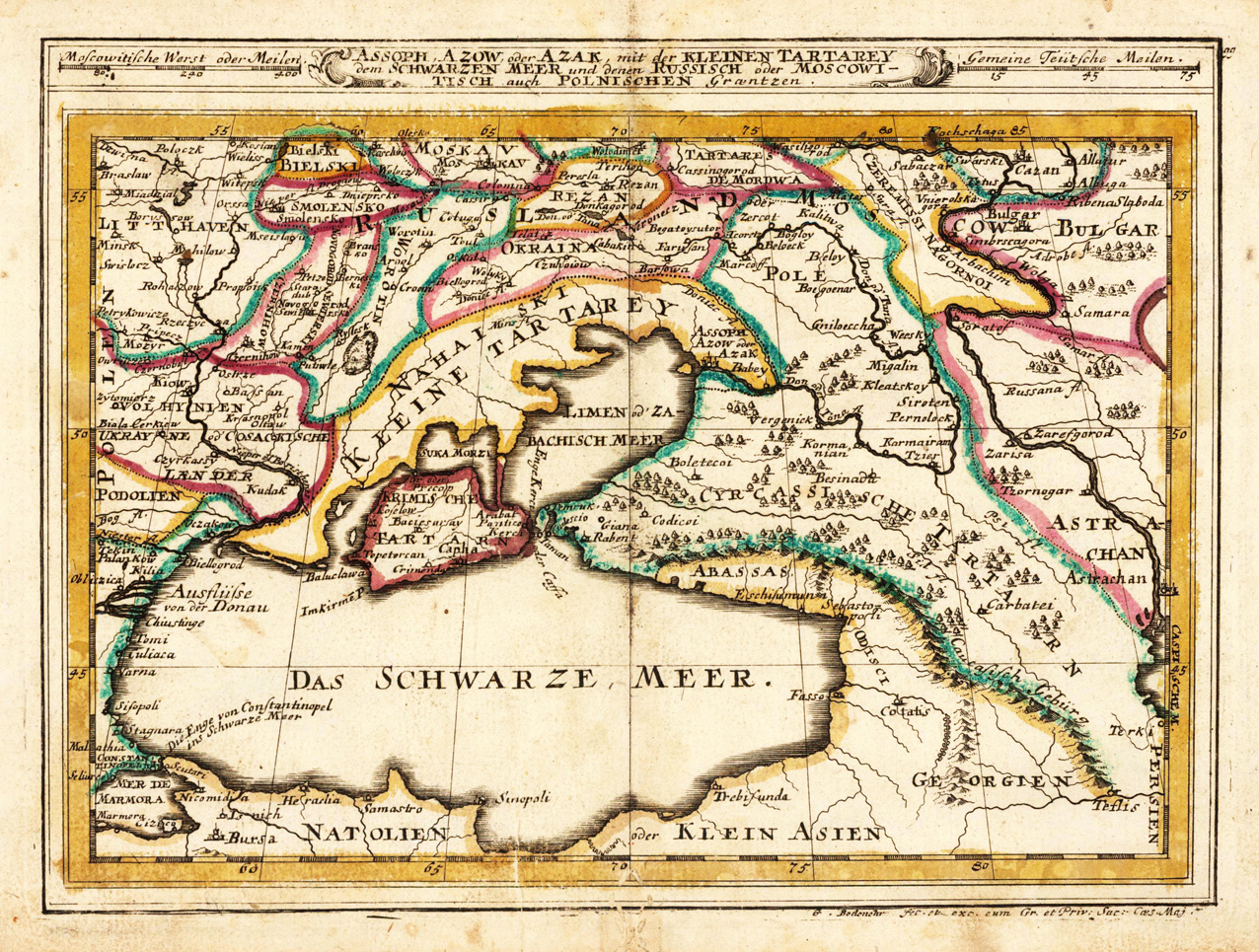
Original antique copper engraving, hand colored in outline when published. This map shows the Black Sea region with Southern Ukraine, Georgia and Armenia. Detailed engraved are rivers, cities, villages, forests, etc. Gabriel Bodenehr the Elder (1664-1758 or 1673-1765) was a German map maker and member of a famous engraver and publisher family of Augsburg. His main work was "Atlas Curieux" first published 1704. He was the son of Johann Georg Bodenehr (1631-1703). Gabriel's son was Gabriel Bodenehr the Younger (1705–1792).
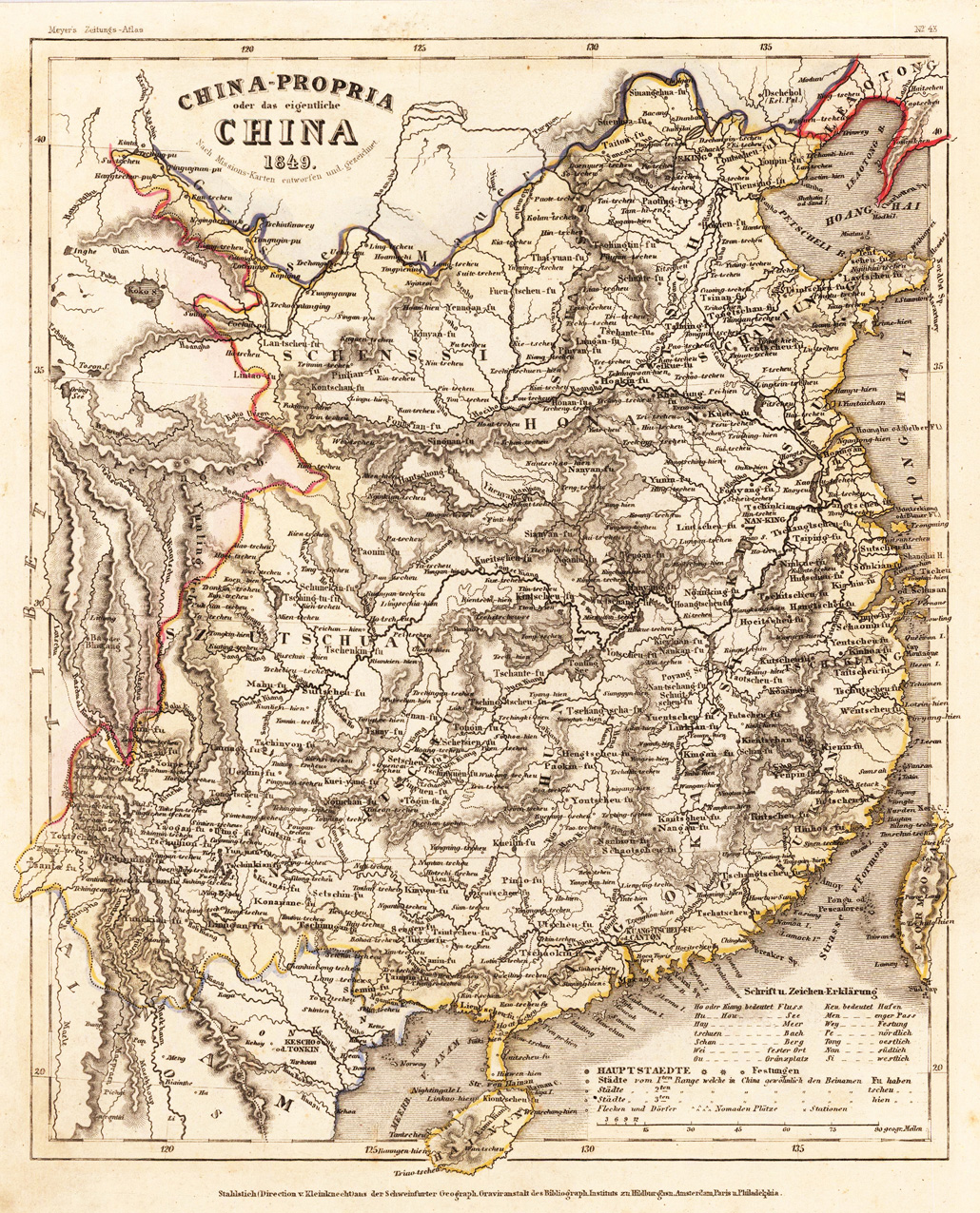
Steel engraving, hand colored in outline when published. Interesting small map of China published around 1849. Many engraved place names, rivers, mountains and other details.
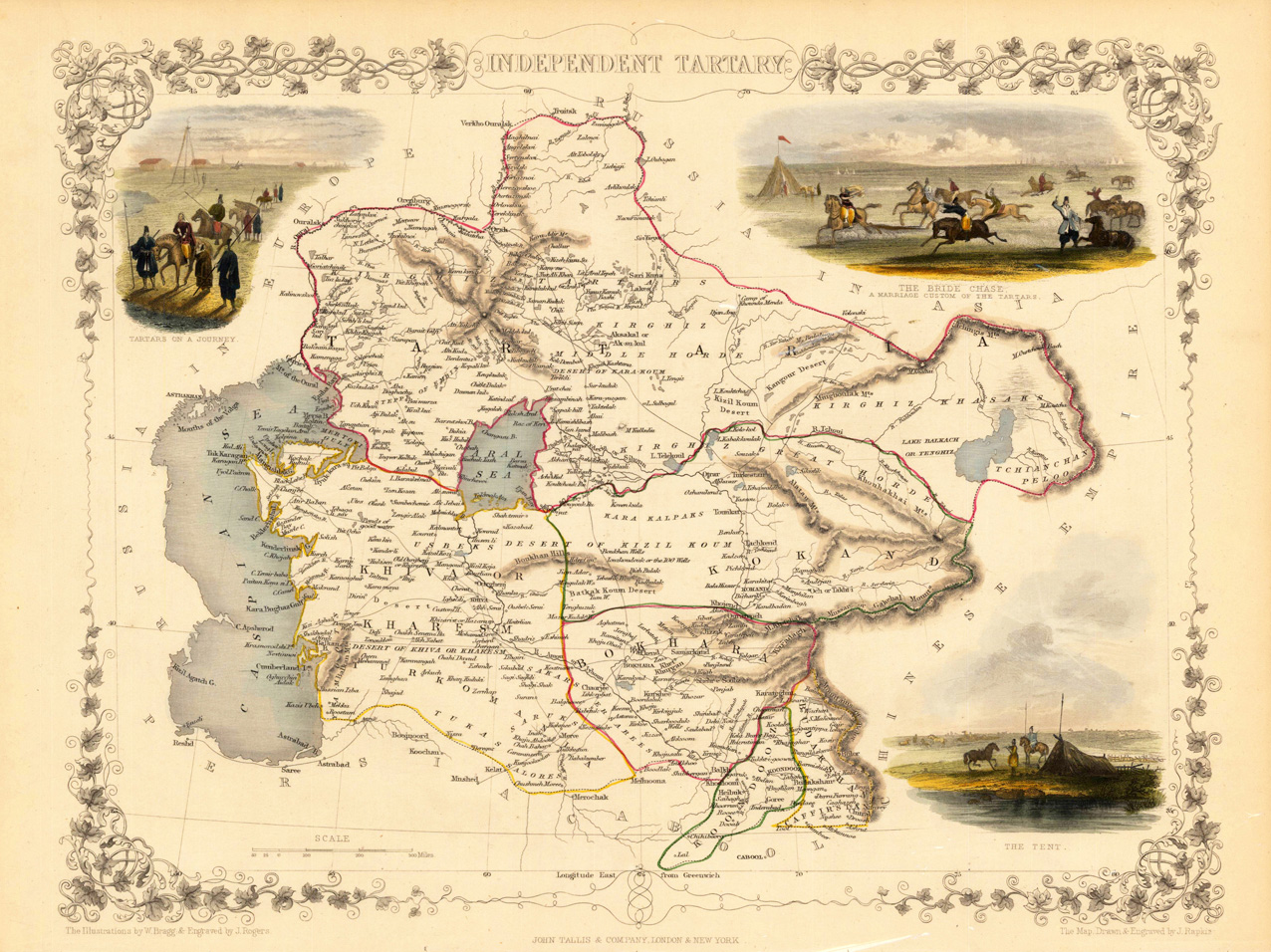
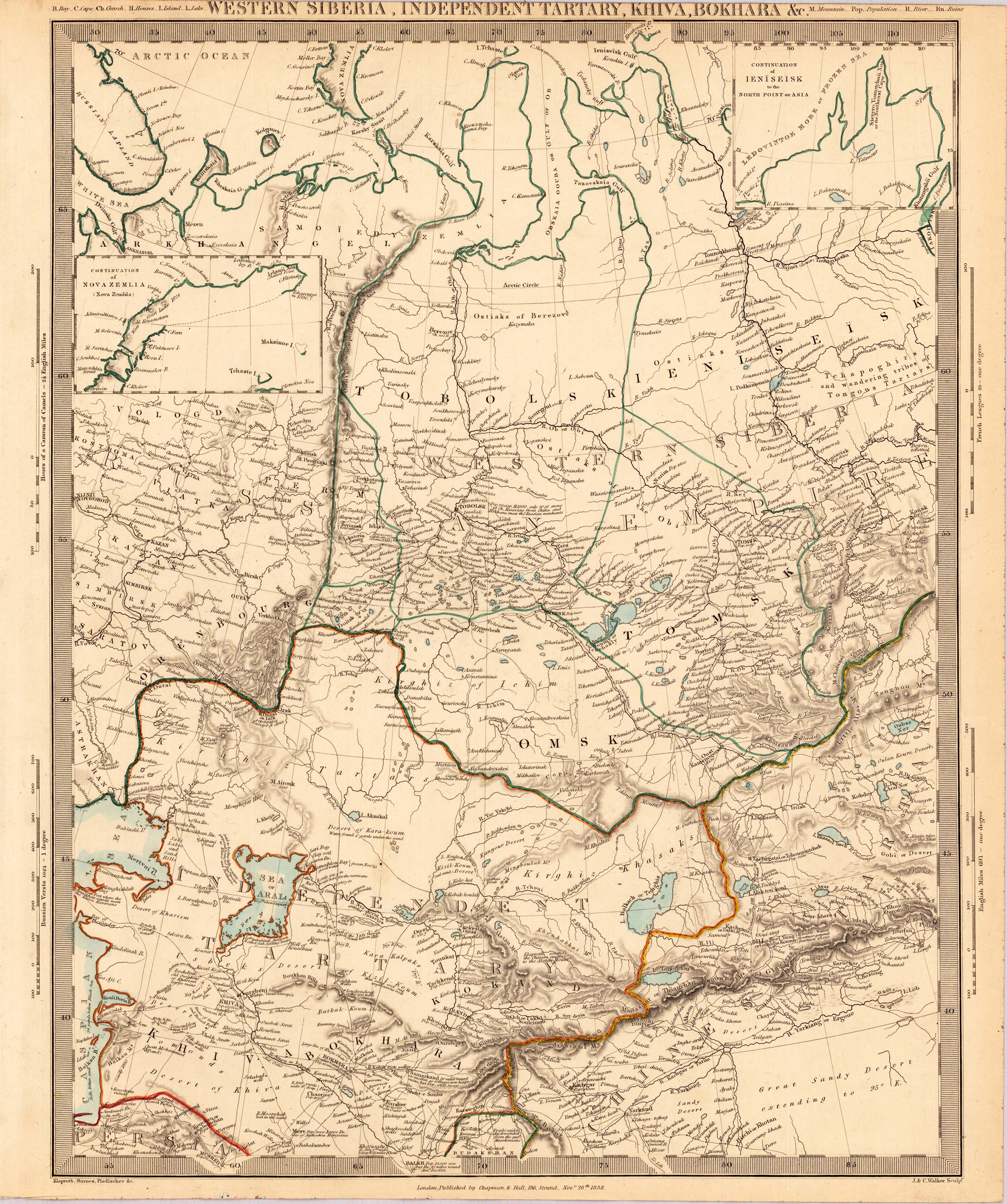
Steel engraving, hand colored in outline and wash. Decorative antique map of the Independent Tartary with many details. It shows the regions between the Caspian Sea and Lake Bakquash and between Russia and Afghanistan. Included is the ancient silk route, the kingdoms of Khiva, Tartaria, Kokand and Bokhara. Three beautiful vignettes with Tartars on a journey, a horseback bride chase, and a tartar campsite. The actual map was drawn and engraved by J. Rapkin. The illustrations were engraved by various artists: R. Radclyffe, W. Lacy, J. Rogers, J. H. Kernot, J. B. Allen, T. Fleming, H. Winkles, R. Baker after drawings by H. Warren, H. Winkles and H. Wray.
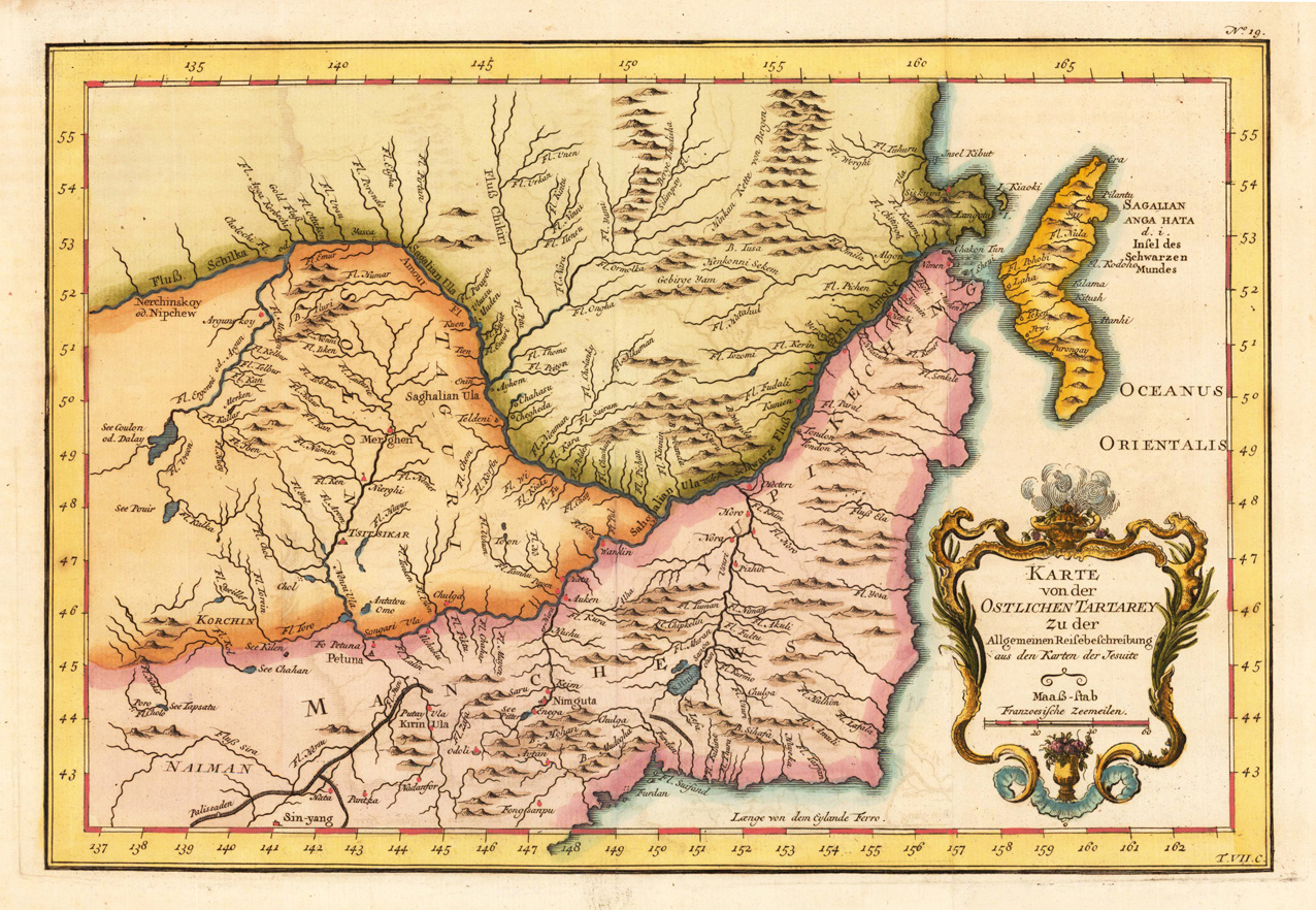
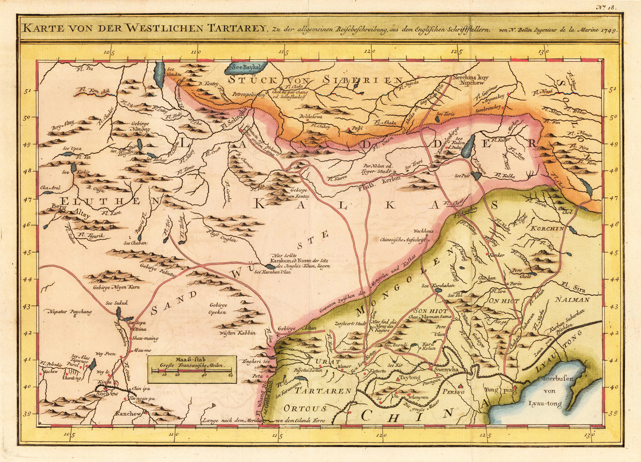
Copper engraving, hand colored in outline and wash. A fine detailed and interesting map engraved by Bellin after earlier voyages. Published in the German edition by Schwabe in Leipzig of Bellin's travel books.
Copper engraving, hand colored in outline and wash. A fine detailed and interesting map engraved by Bellin after earlier voyages. Published in the German edition by Schwabe in Leipzig of Bellin's travel books.
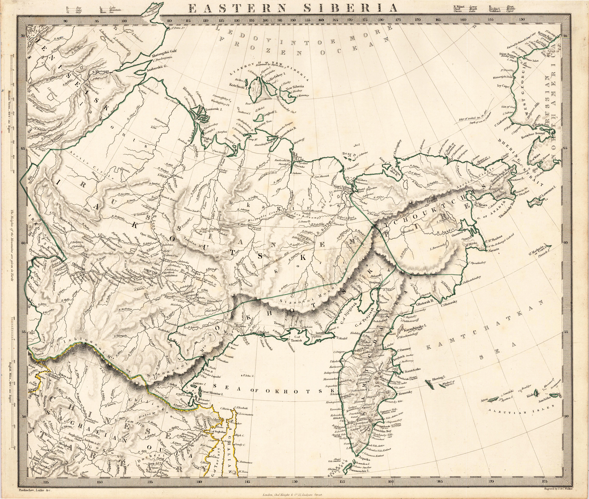
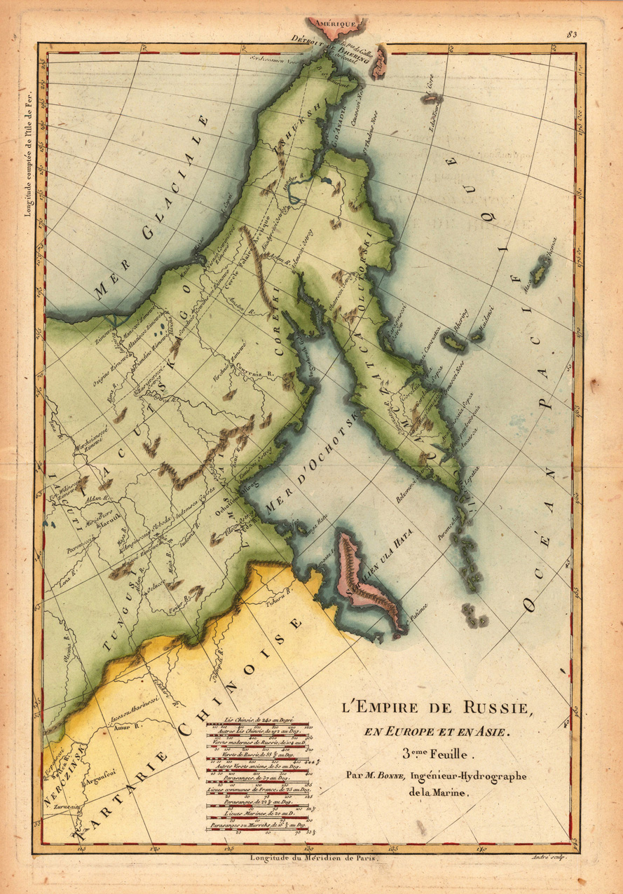
Original antique copper engraving, hand colored in outline and wash. Decorative map of eastern Russia with Kamchatka, Tartary and parts of northern China. Rigobert Bonne (6 October 1727 – 2 September 1794) was a French cartographer, widely considered to be one of the most important cartographers of the late 18th century. In 1773 Bonne succeeded Jacques Nicolas Bellin as Royal Cartographer to France in the office of the Hydrographer at the Depôt de la Marine. Working in his official capacity, Bonne compiled some of the most detailed and accurate maps of the period. Bonne's work represents an important step in the evolution of the cartographic ideology away from the decorative work of the 17th and early 18th century towards a more detail oriented and practical aesthetic. With regard to the rendering of terrain Bonne maps bear many stylistic similarities to those of his predecessor, Bellin. However, Bonne maps generally abandon such common 18th century decorative features such as hand coloring, elaborate decorative cartouches, and compass roses. While mostly focusing on coastal regions, the work of Bonne is highly regarded for its detail, historical importance, and overall aesthetic appeal. (Wikipedia)
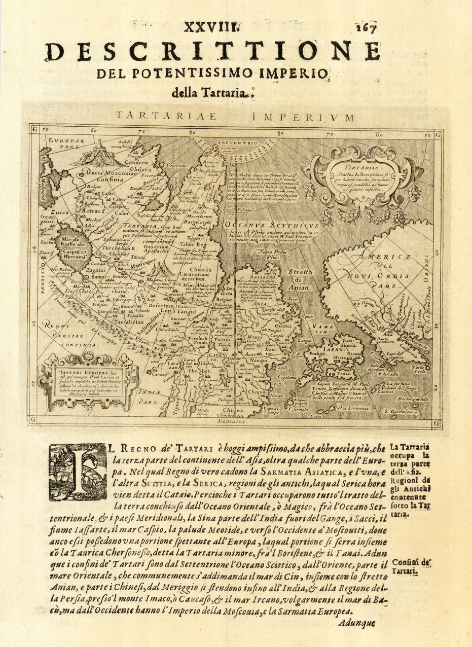
Fine copper-engraved map, printed into the full text page, published in 'Geografia ... Universale de la Terra', which was translated by Cernoti and published 1621 in Padua.
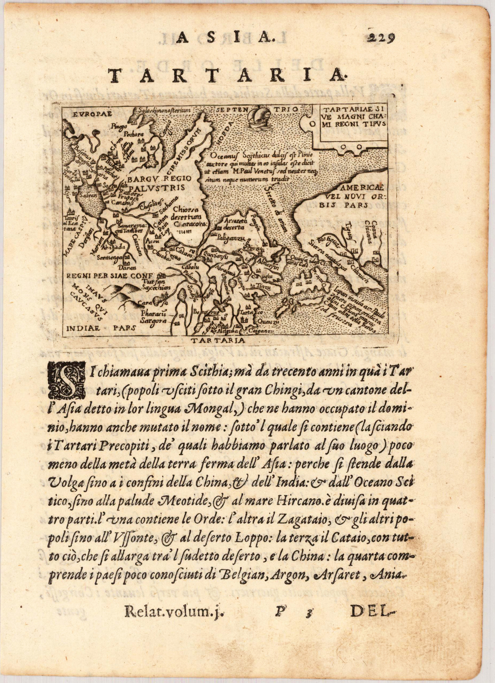
Copper engraving, uncolored as published on the full text sheet. Fine engraved rare map of Tartary and the Northwest coast of America published in Giovanni Botero's 'Relationi di Givanno Botero' 1599 in Brescia. The miniature maps published by G. Botero are close imitations of those published in Phillip Galle's 1593 edition with Italian text. The fine engraved maps by Botero are very much in the style of Abraham Ortelius's miniature map, they are engraved with woods, miniature, views, some even with decorative sea monsters and ships. An early miniature map of Tartary, Japan and the Northwestcoast of America. The map is extending over Central Asia toward Europe.
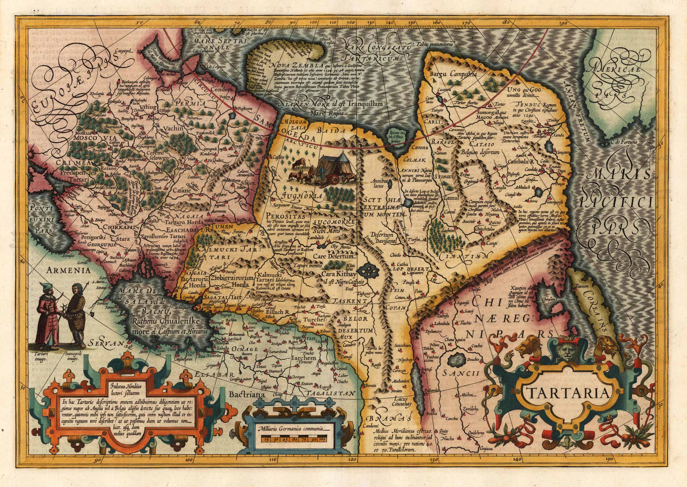
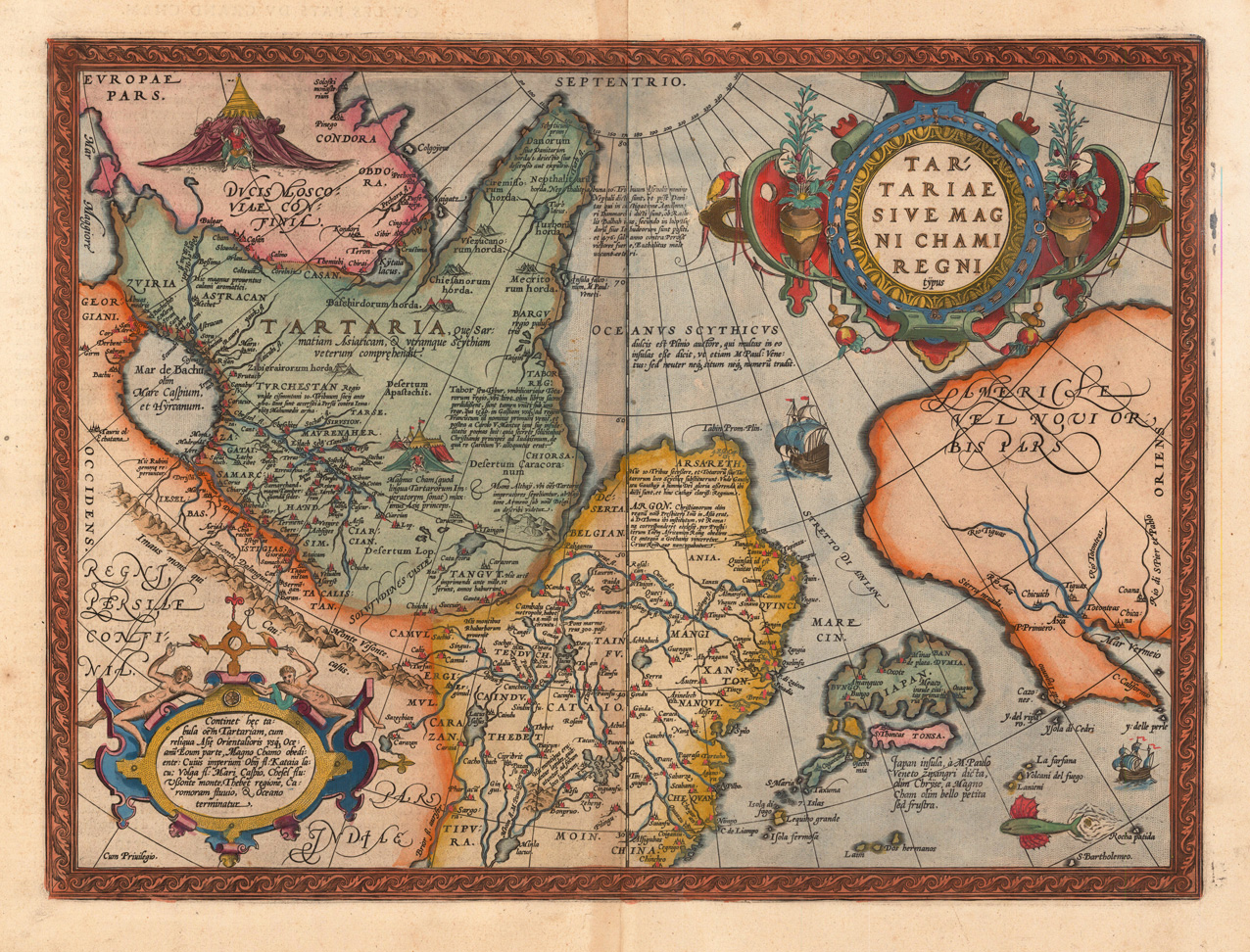
Original copper engraving, published 1598 in a French edition of "Theatrum Orbis Terrarum". Finely hand colored in wash and outline. Fine and decorative map showing the Tartary, China, Japan and the Northwest coast of North America. The map shows the kingdom of the great Khan. It was published from 1570 onwards until 1612. It is probably the first map to name California 'C. Califormio' and showing the name 'Sierra nevada' along the west coast. The map names also the streets of Anian, it is showing as well an uncommon projection of Japan. Ornated in the upper right corner with a large decorative title cartouche, one additional text cartouche in the lower left corner and a decorative scene of a tartarian warrior in front of an tent. Ships and sea-monsters are in the Ocean.
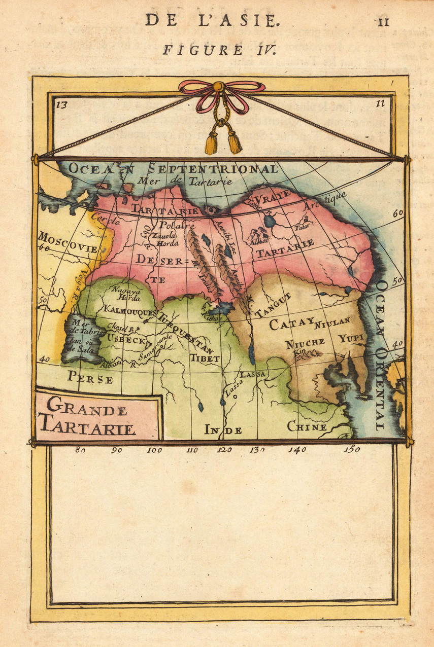
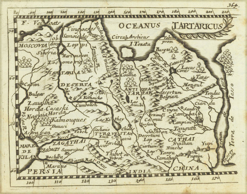
Original copper engraving, uncolored. Published in Pierre Du Val's atlas ,Anderer Theil der allgemeinen Weltbeschreibung von Europa' (German edition Nürnberg at Johann Hoffmann & Christoph Gerhard.