
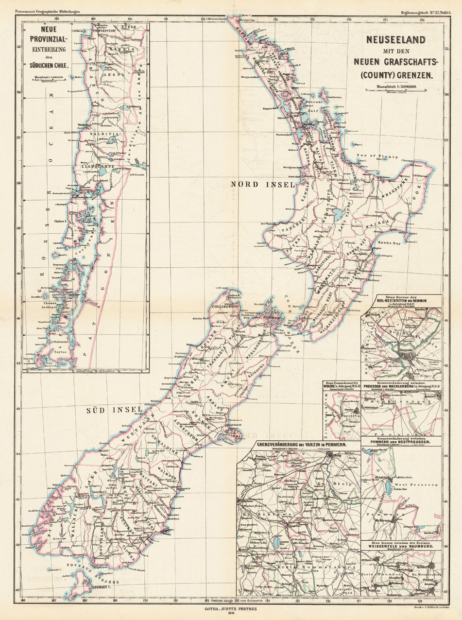
Neuseeland mit den neuen Grafschafts-(County)Grenzen.
Product information: Neuseeland mit den neuen Grafschafts-(County)Grenzen.
Lithograph, handcolored when published. Decorative map which shows New Zealand with its new county borders. The map generally provides information on regions, which were newly divided up into counties. Therefore New Zealand, Southern Chile and Pomerania are given as examples on the map. However the geographic point is widely spread on this map New Zealand is nicely and detailed shown. All counties are named, as well many place names, rivers, also railroads are shown.
Properties
| Category: | New Zealand |
|---|---|
| Issue date: | 1878 |
| Published place: | Gotha |
| Publisher: | Justus Perthes. |
| Technique: | Lithograph / Original color. |
| Type: | map |