
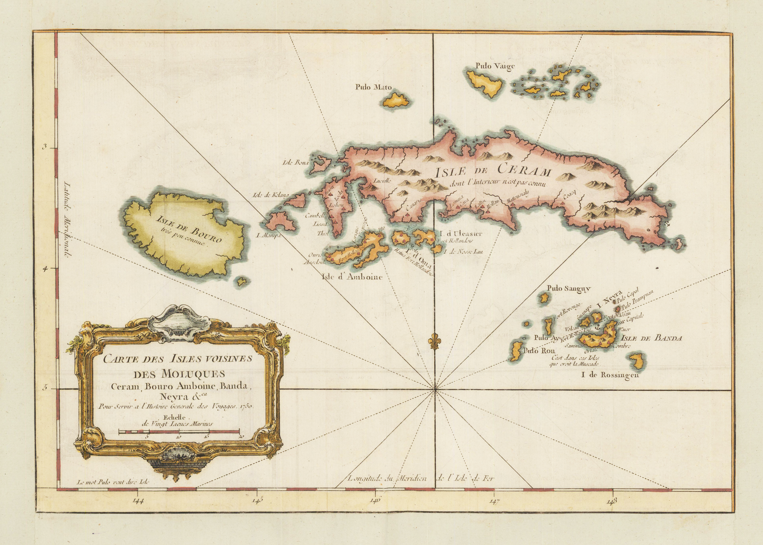
Carte des Isles Voisines des Moluques Ceram, Bouro Amboine, Banda, Neyra & ca. Pour Servir a l`Histoire Generale des Voyages 1750.
Product information: Carte des Isles Voisines des Moluques Ceram, Bouro Amboine, Banda, Neyra & ca. Pour Servir a l`Histoire Generale des Voyages 1750.
Copper engraving, hand colored in wash. An interesting and detailed map of the island of Ceram belonging to the Indonesian province Maluku. Ceram is the second largest archipel of the moluccan islands north of the Banda sea. A fine detailed and interesting map engraved by Bellin published in one of his atlases c. 1750-60 in Paris.
Properties
| Category: | Moluques |
|---|---|
| Issue date: | 1750-60 |
| Published place: | Paris |
| Publisher: | N. Bellin |
| Technique: | Copper engraving / later hand colored. |
| Type: | Antique Map |