
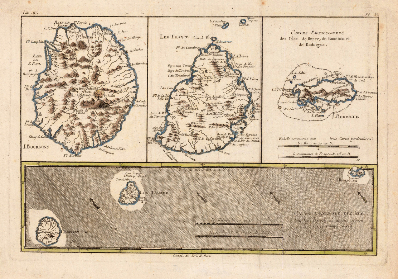
Carte Générale des Isles, dont les Figures ci dessus offrent un plus ample detail
Product information: Carte Générale des Isles, dont les Figures ci dessus offrent un plus ample detail
Original antique copper engraving, hand colored in outline. Interesting map showing the islands 'Isle Bourbon', 'Isle de France' and 'Isle de Rodrigue' in the Indian Ocean. Rigobert Bonne (6 October 1727 – 2 September 1794) was a French cartographer, widely considered to be one of the most important cartographers of the late 18th century. In 1773 Bonne succeeded Jacques Nicolas Bellin as Royal Cartographer to France in the office of the Hydrographer at the Depôt de la Marine. Working in his official capacity, Bonne compiled some of the most detailed and accurate maps of the period. Bonne's work represents an important step in the evolution of the cartographic ideology away from the decorative work of the 17th and early 18th century towards a more detail oriented and practical aesthetic. With regard to the rendering of terrain Bonne maps bear many stylistic similarities to those of his predecessor, Bellin. However, Bonne maps generally abandon such common 18th century decorative features such as hand coloring, elaborate decorative cartouches, and compass roses. While mostly focusing on coastal regions, the work of Bonne is highly regarded for its detail, historical importance, and overall aesthetic appeal. (Wikipedia)
Properties
| Category: | Islands in the Indian Ocean |
|---|---|
| Issue date: | 1780 |
| Published place: | Paris |
| Publisher: | M. Bonne |
| Technique: | Copper engraving / Original color. |
| Type: | Antique Map, map |