
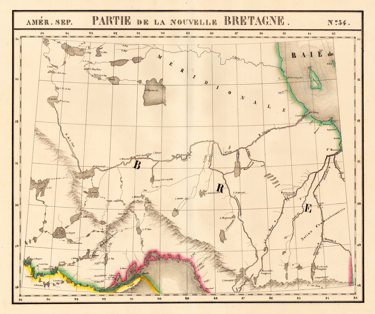
Amér. Sep. Partie de la Nouvelle Bretagne. No. 34.
Product information: Amér. Sep. Partie de la Nouvelle Bretagne. No. 34.
Lithograph, original hand colored in outline. Large and detailed map sowing the region from Lake Superior, R. Du L. Chat, L. Sturgeon, Hudson Bay and Albany River. Equipped with detailed information on the names of rivers and lake, mountains, Forts and Indian tribes. The map was published in Phillippe Marie Vandermaelen's atlas of North America.
Properties
| Category: | Lake Superior & Albany River |
|---|---|
| Issue date: | 1825 |
| Published place: | Brussels |
| Publisher: | Phillippe Marie Vandermaelen |
| Technique: | Lithograph / Original color. |
| Type: | Antique Map |