
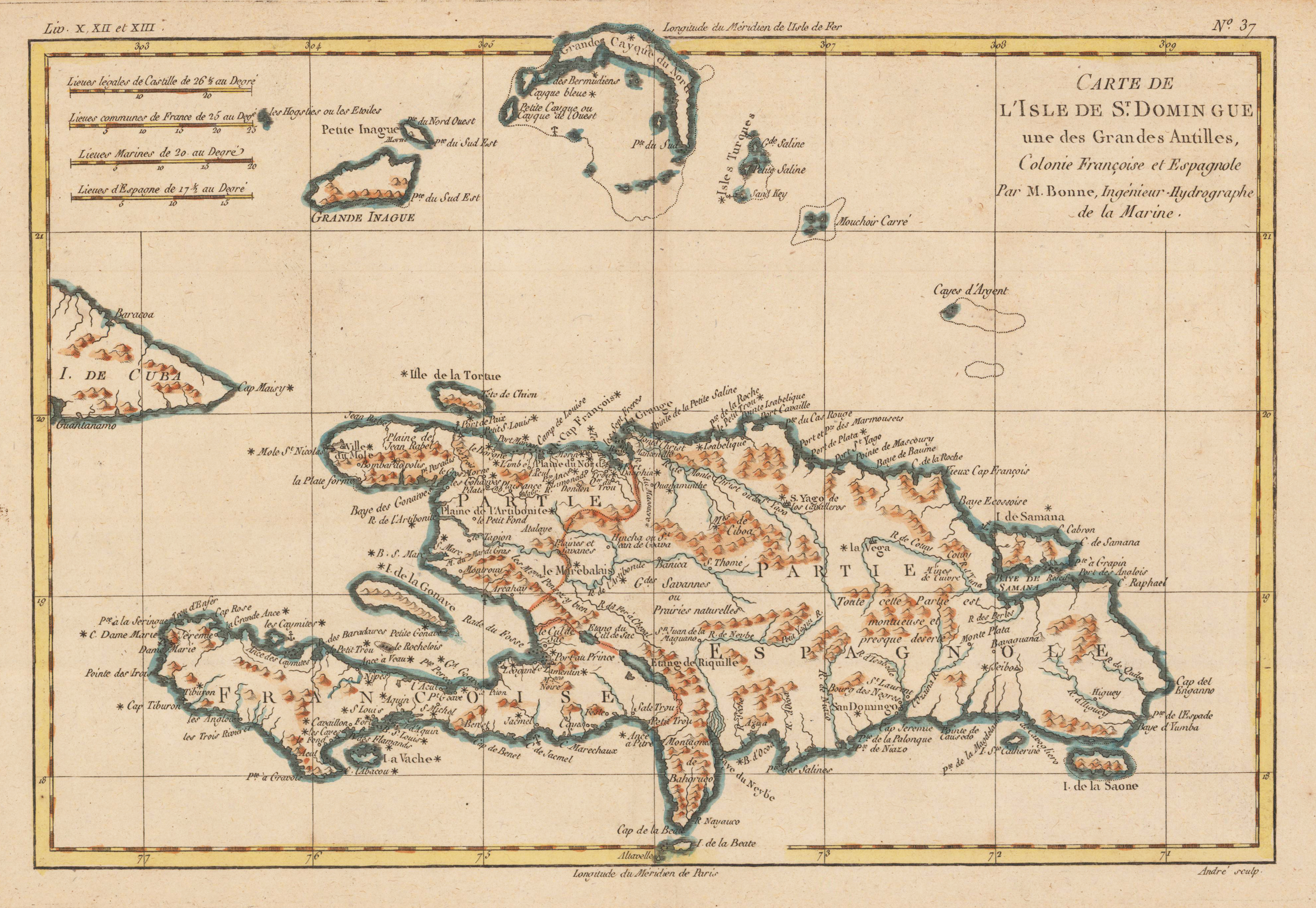
Carte de L'Isle de St. Domingue une des Grandes Antilles, Colonie Francoise et Espagnole. Par M. Bonne, Ingènieur-Hydrographe de la Marine.
Product information: Carte de L'Isle de St. Domingue une des Grandes Antilles, Colonie Francoise et Espagnole. Par M. Bonne, Ingènieur-Hydrographe de la Marine.
Copper engraving, hand colored in outline and wash. Detailed map of the island of Haiti (St. Domingue) part of the greater Antilles, engraved by André. nteresting double page map of Hispaniola & surrounding islands. North of St. Dominica with the Turkos and Caicos Islands and the easternmost island Mayaguana (district of the Bahamas). Rivers, small villages as well mountains are shown on the engraved map. Rigobert Bonne (1727-1794) was a French cartographer of the late 18th century. He studied in Paris and practiced cartography. He became a skilled cartographer and hydrographer and became a royal hydrographer at the,Depot de la Marine' in 1773. In 1780 he engraved and published the maps for Abbe Raynal's work,Atlas de Toutes Les Parties Connues du Globe Terrestre'. He also published many charts for the,Depot de la Marine', further he engraved the maps for the,Atlas Encyclopedique' in 1788 together with Nicholas Desmarest.
Properties
| Category: | Caribean Islands |
|---|---|
| Issue date: | 1780 |
| Published place: | Paris |
| Publisher: | M. Bonne |
| Technique: | Copper engraving / later hand color |
| Type: | Antique Map |