
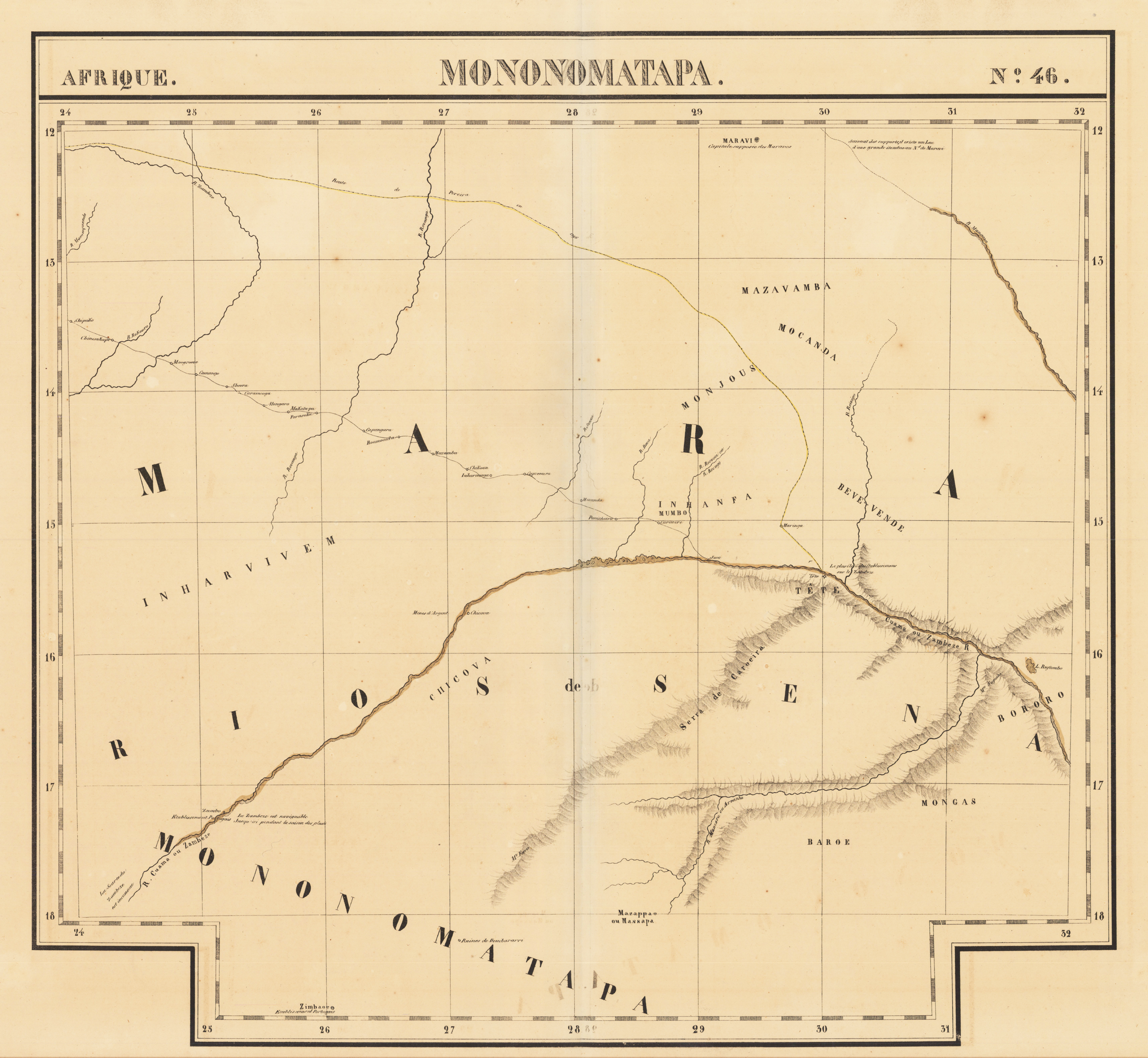
Afrique - Mononomatapa - No. 46
Original lithograph, printed and published ca. 1825 in Vandermaelen's atlas of Africa. This large antique map shows the northern part of Simbabwe, in the centre of the map we find the Sambesi river, and north of the Sambesi river parts of Sambia. This early lithographed map depicts rivers, mountains and trails or roads. A few place names on the map and also mountain chains and rivers are named. Further map has latitudes and longitudes with which the map can exactly compared with modern maps of this still quite remote region. This regions covers these days the Chizarira-Nationalparc and Matusadona-Nationalparc next to lake Kariba. Philippe Vandermaelen (1795-1869) began drafting the first maps of the Atlas universel in 1824. The atlas was published between 1825 and 1827. The atlas covered all five continents and became a great success. The success of this project enabled him to set up his own Geographic company in Bruxelles in 1830. He produced maps, atlases and globes, further he housed a natural science museum, botanical gardens, a library and a large collection of maps.
| Category: | Northern Simbabwe |
|---|---|
| Issue date: | 1825 |
| Published place: | Brussels |
| Publisher: | Vandermaelen |
| Technique: | Lithograph / Original color |
| Type: | map |