
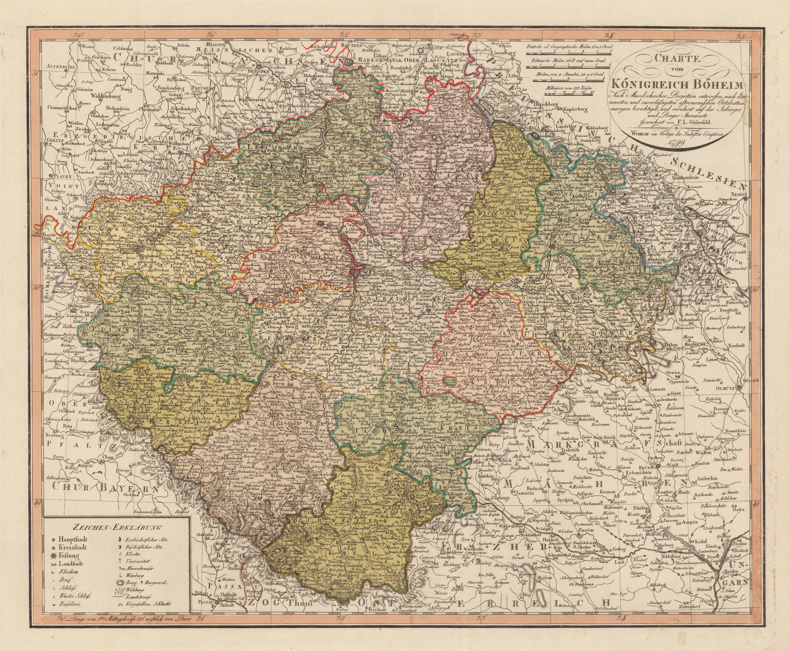
Charte vom Königreich Böheim
Product information: Charte vom Königreich Böheim
Copper engraving, hand colored in outline and wash when published. This detailed antique map shows the region between Meissen in the north and Passau in the south, Olmütz in the east and Greitz in the west. The title cartouche and four different milegage scales are in the upper right corner. The legend is engraved in the lower left corner.
Properties
| Category: | Böhmen |
|---|---|
| Issue date: | 1799 |
| Published place: | Weimar |
| Publisher: | Verlage des Geographischen Instituts |
| Technique: | Copper engraving / Original color. |
| Type: | map |