
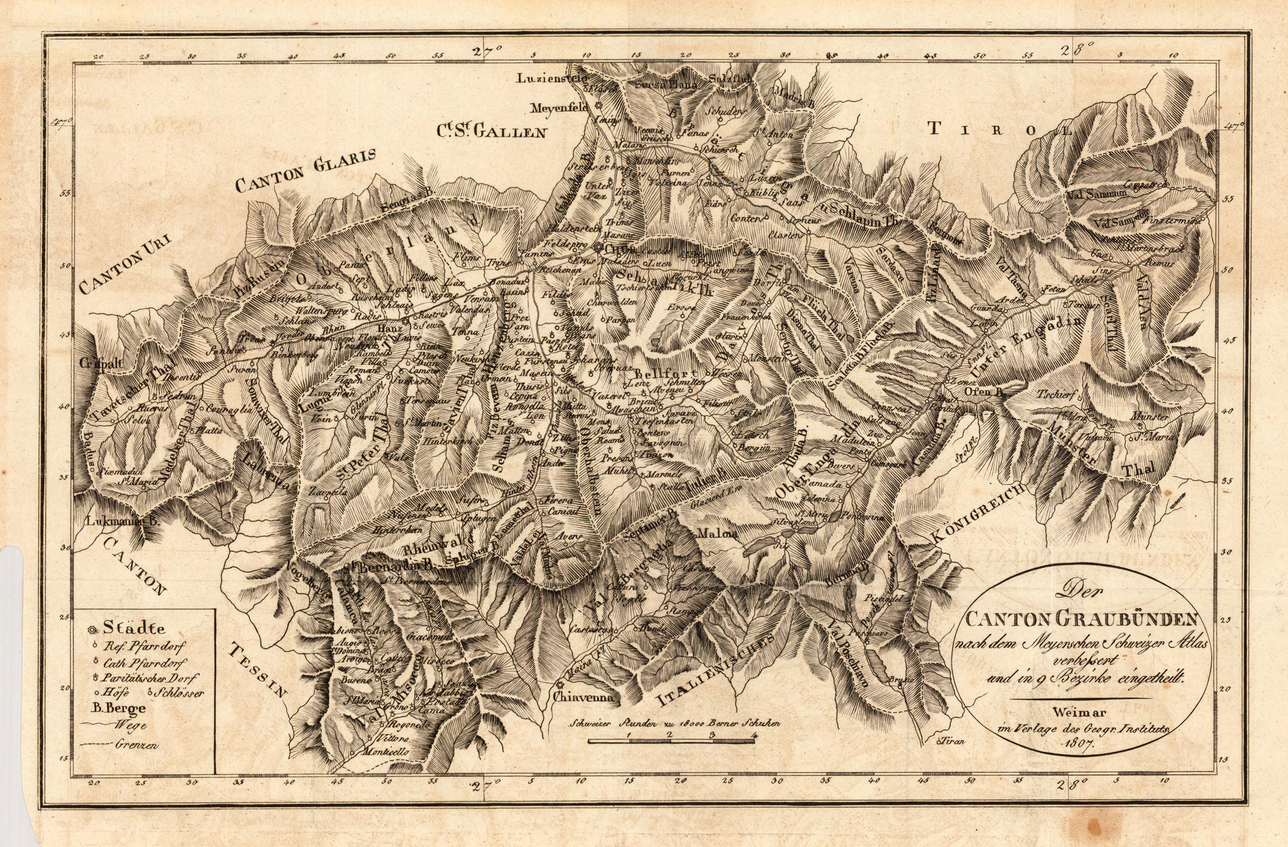
Der Canton Graubünden nach dem Meyerschen Schweizer Atlas verbessert und in 9 Bezirke eingetheilt.
Product information: Der Canton Graubünden nach dem Meyerschen Schweizer Atlas verbessert und in 9 Bezirke eingetheilt.
Copper engraving, uncolored as published. Engraved after the map of Graubünden bei R. Amstein. Interesting map of the canton Graubünden in Switzerland with its borders to the cantons Tessin, Uri, Glari and St. Gallen and to Tirol and the kingdom of Italy. Detailed engraved map of Graubünden divided up into nine counties. The map was engraved after the cartographic source by R. Amstein, who published 1806 map of Graubünden in the 'helvet. Almanache'. With many engraved place names, names of mountains, district borders, castles, trails, etc. In the lower left corner a detailed table of explanation.
Properties
| Category: | Graubünden |
|---|---|
| Issue date: | 1807 |
| Published place: | Weimar |
| Publisher: | Industrie Comptoire |
| Technique: | Copper engraving / Uncolored |
| Type: | Antique Map, map |