
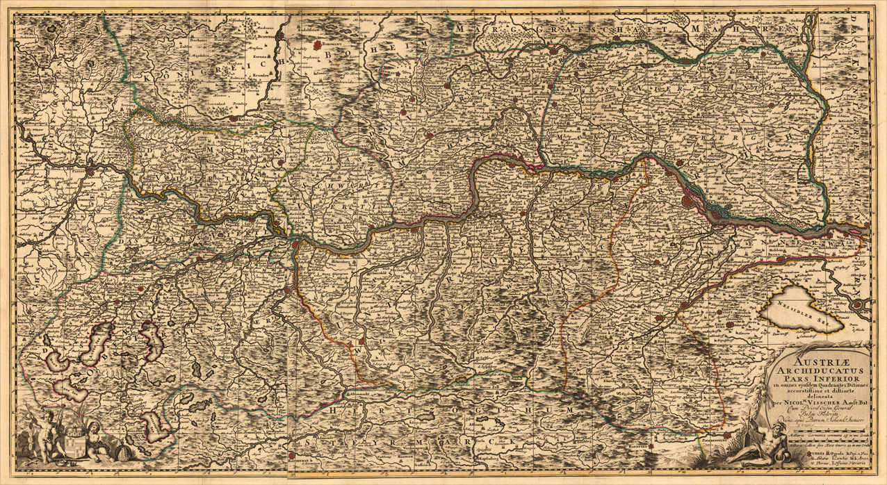
Austriae Archiducatus Pars Inferior in omnes ejusdem Quadrantes Ditiones accuratissime et distinte delineata per Nicol. Visscher Amst: Bat: Cum Privil: Ordin: General: Belgii Foederati. Nunc apud Petrum Schenk Junior.
Product information: Austriae Archiducatus Pars Inferior in omnes ejusdem Quadrantes Ditiones accuratissime et distinte delineata per Nicol. Visscher Amst: Bat: Cum Privil: Ordin: General: Belgii Foederati. Nunc apud Petrum Schenk Junior.
Copper-engraving, handcolored in outline when published. Decorative large map of mainly lower Austria, showing the river Danube from Passau towards Vienna. The map is providing a lot of information on placenames of smaller cities and villages. Castles, monastries, rivers, lakes, mountains and more are detailed engraved. Originally published by Nicolaus Vischer, here with the imprint by Petrus Schenk, Amsterdam around 1740s. In the lower corners with a decorative allegoric (on the rivers Danube probably) title cartouche with milage scale and table of explanations. In the lower left corner two angels holding the coat of arms of the Austrian empire. A large and decorative map of upper Austria, due of the large size of the map with several older folds from the atlas.
Properties
| Category: | Lower Austria |
|---|---|
| Issue date: | 1740 |
| Published place: | Amsterdam |
| Publisher: | P. Schenk jun. |
| Technique: | Copper engraving / Original color. |
| Type: | Antique Map, map |