
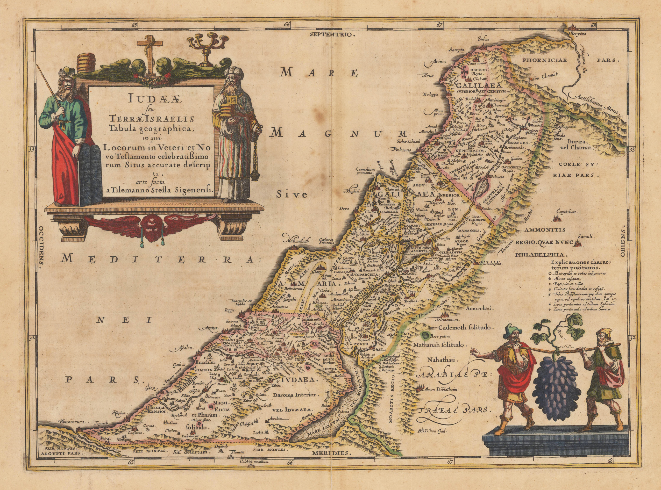
Iudaeae seu Terrae Israelis Tabula geographica: in qua Locorum in Veteri et Novo Testamento celebratißimorum Situs accurate descripti arte facta à Tilemanno Stella Sigenensis.
Product information: Iudaeae seu Terrae Israelis Tabula geographica: in qua Locorum in Veteri et Novo Testamento celebratißimorum Situs accurate descripti arte facta à Tilemanno Stella Sigenensis.
Copper engraving, hand colored in outline when published. A highly decorative map of the Holy Land, which is ornated with a large decorative figurative title cartouche at the upper left corner. In the lower right corner we find a decorative cartouche of two males carrying fruits. Janssonius published this map in his historical atlas after the cartographic sources of Tilleman Stella. A small split mended at the lower centre fold (hardly visible).
Properties
| Issue date: | 1649-60 |
|---|---|
| Published place: | Amsterdam |
| Publisher: | Janssonius Joan. |
| Technique: | Copper engraving, original color. |
| Type: | frame |