
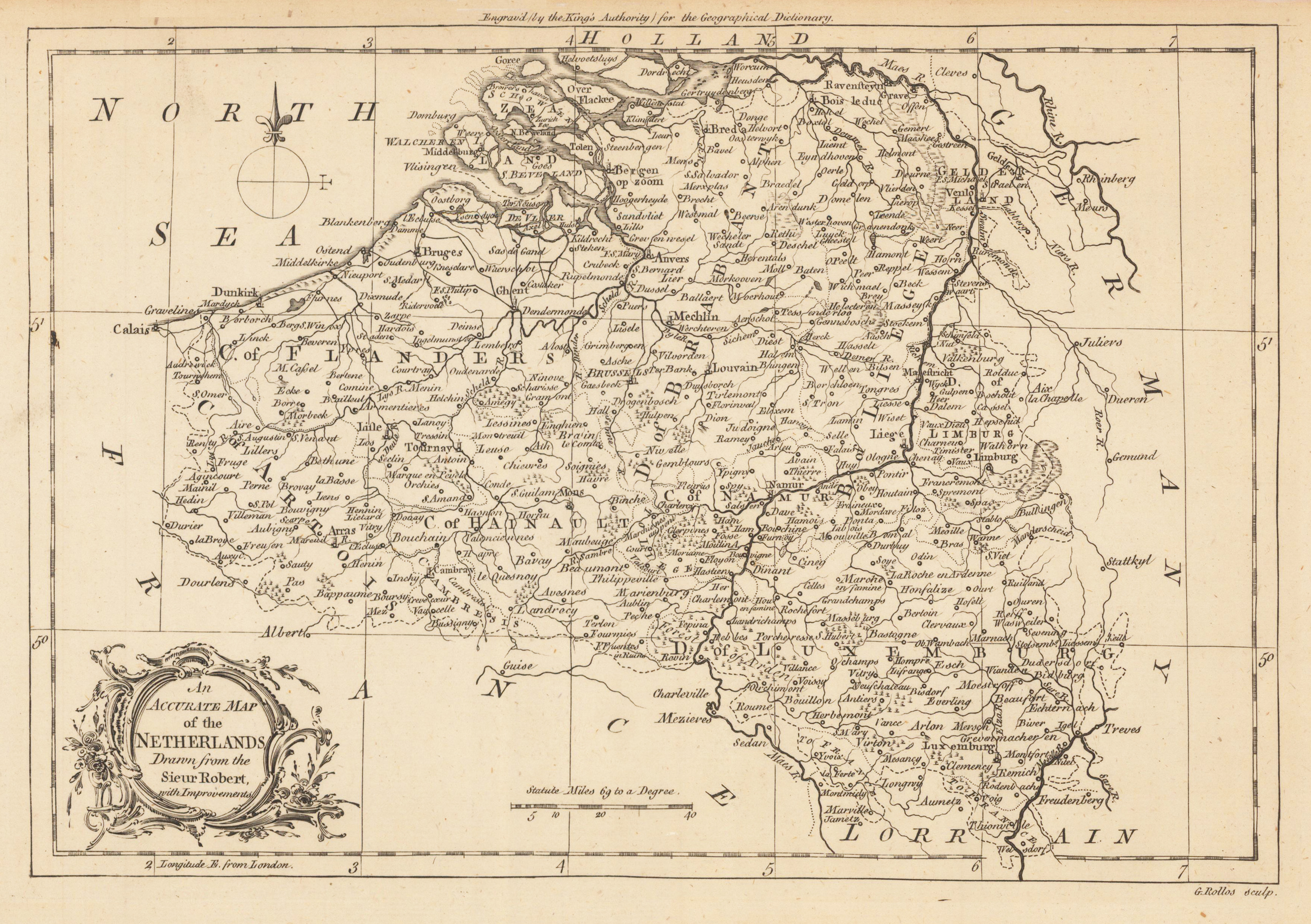
An Accurate Map of the Netherlands Drawn from the Sieur Robert, with Improvements.
Product information: An Accurate Map of the Netherlands Drawn from the Sieur Robert, with Improvements.
Original antique copper engraving, uncolored. Original antique map of the Netherlands, published in,the Geographical Dictionary'. Shwoing the Netherlands bordered by France, Germany and the North Sea, with many place names, rivers, mountains, etc.
Properties
| Category: | Netherlands |
|---|---|
| Issue date: | 1759 |
| Published place: | London |
| Technique: | Copper engraving / Uncolored. |
| Type: | map |